
Viewing: 1-3 of 3

billokc - Oct 11, 2009 7:01 pm - Hasn't voted
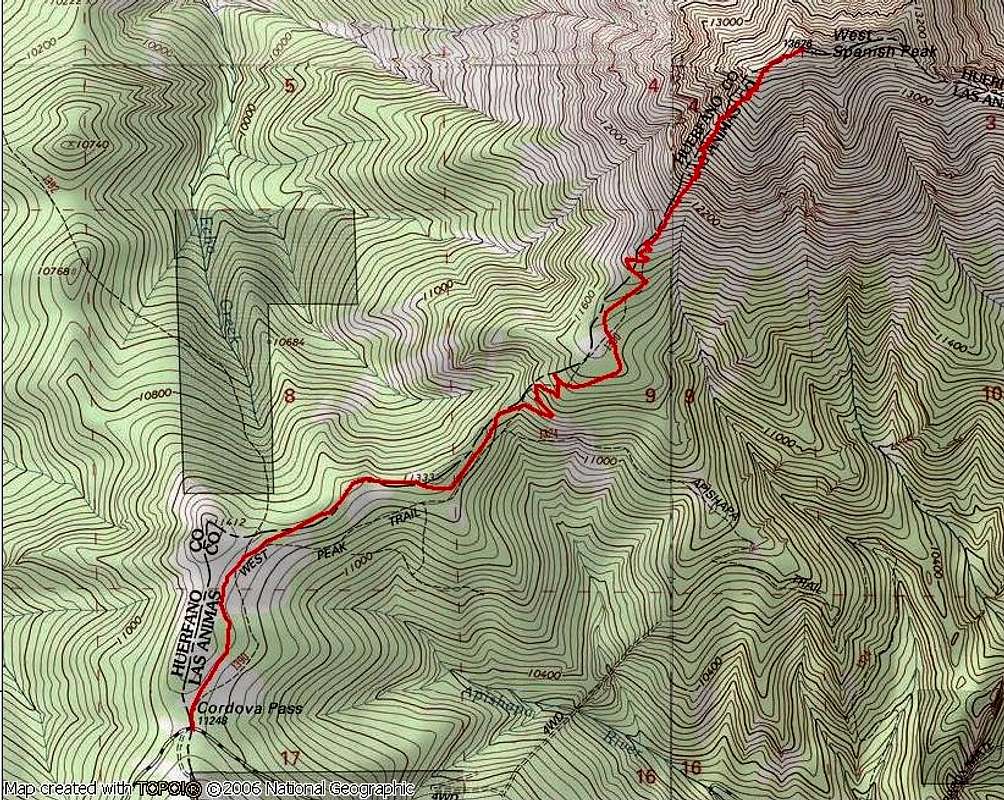
How?Larry,
Could you explain the procedure used to overlay the trail onto the map? Was this using some kind of GPS/mapping program?
Thanks,
Bill

Larry V - Oct 14, 2009 10:34 pm - Hasn't voted
Re: How?I recorded my tracks while hiking with a GPS. When I got home I just downloaded the tracks into the National Geographic TOPO! program as a route. Then I exported the interesting portion of the map to a .jpg file. TOPO! is great, and works well with a GPS.
billokc - Oct 23, 2009 3:38 pm - Hasn't voted
Re: How?Thank you. I've been meaning to get into the world of GPS and some kind of program. This is definitely an incentive.
Viewing: 1-3 of 3


Comments
Post a Comment