
|
|
Area/Range |
|---|---|
|
|
40.45896°N / 112.62669°W |
|
|
Hiking, Mountaineering, Scrambling, Skiing |
|
|
Spring, Summer, Fall, Winter |
|
|
Overview
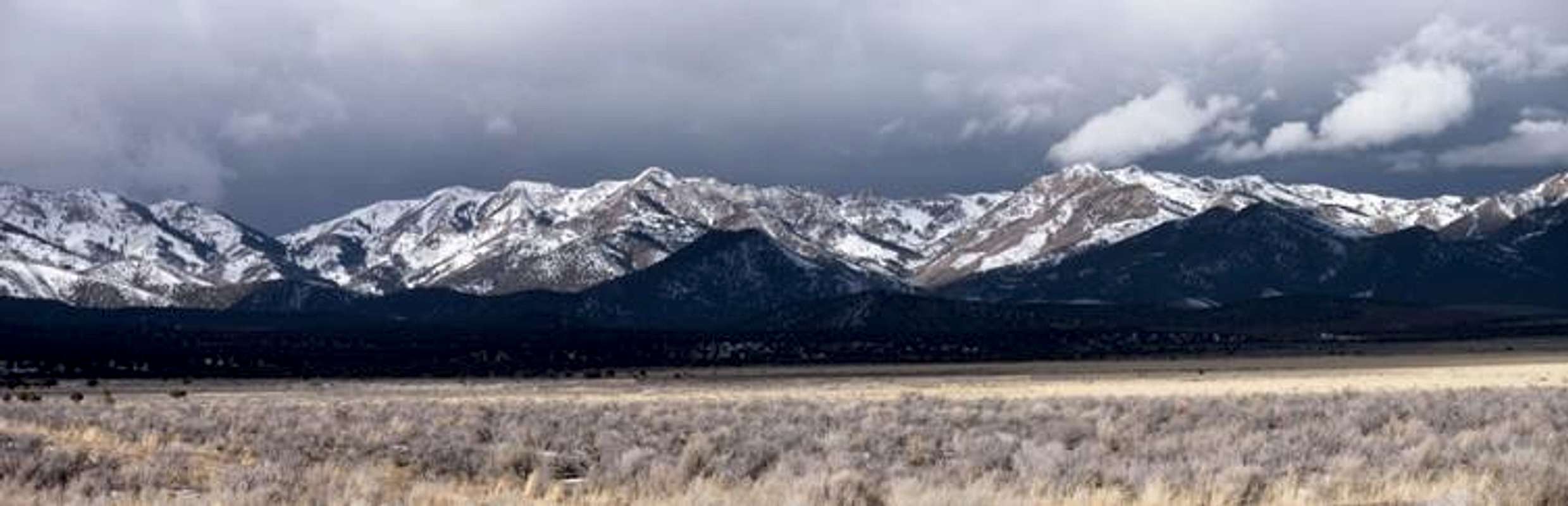
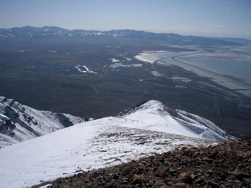
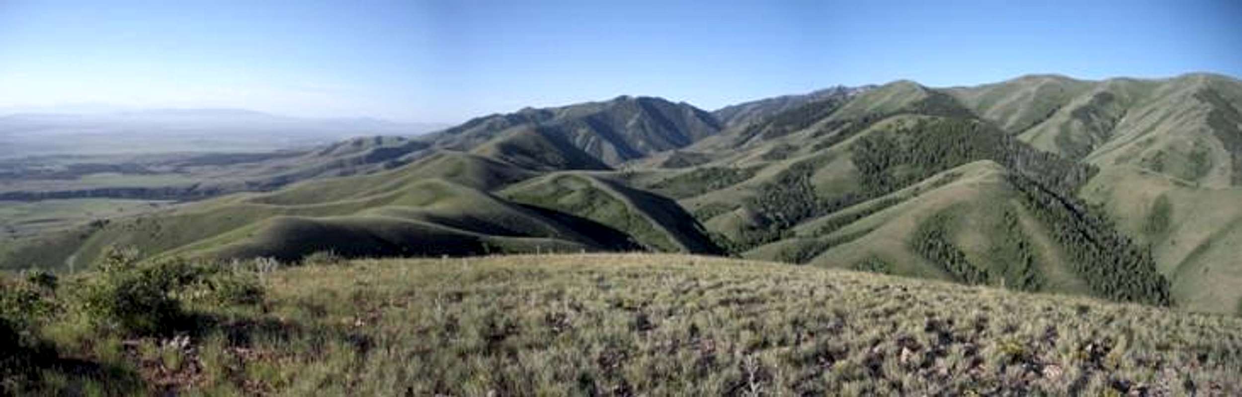
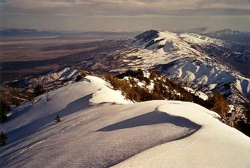
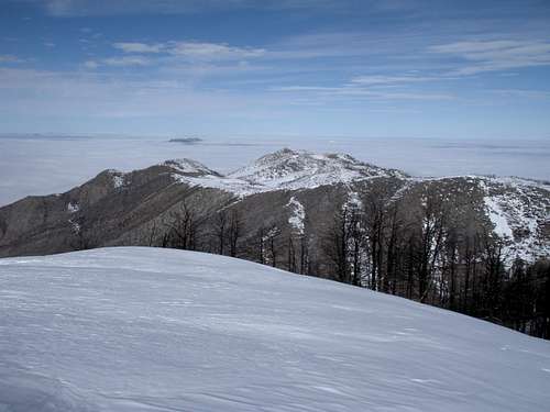
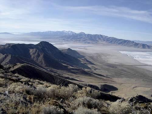
The Stansbury Mountains sit two ranges west of the Wasatch Front. With the Oquirrh Mountains blocking the view of the Stansburys, they are out of sight out of mind to much of Utah. But, they are one of the few ranges in the Great Basin Area of Utah with a good system of hiking trails. The mountains rise to elevation of over 11,000 feet. They are very prominent due to their location above the valley near the cities of Tooele and Grantsville. During much of the year, you can see these mountains in the distance from the Wasatch Front peaks, especially in winter when they are covered in snow. The range runs in a north to south direction for approximately 40 miles. On the west side of the range is Skull Valley, to the north is I-80 and the Great Salt Lake, to the east is Tooele Valley, and to the southeast is Rush Valley.

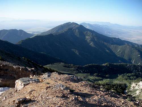
Bald Mountain Ridge
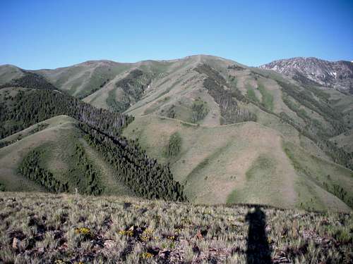
Onaqui from "North Willow Peak"
Getting There
Travel west on I-80 from Salt Lake City.
Eastern Side:
Take exit 99 off I-80 which puts you south on Hwy 36/SR 138. Drive 3 miles, then turn right on SR138. Follow 11 miles to Grantsville. Turn left on West Street at the end of town (road becomes Mormon Trail Road). Several access roads turn off Mormon Trail Road. Signed roads include Davenport/North Willow Canyon around 4 miles, South Willow Canyon at 5 miles and Box Elder Canyon at 6.4 miles.
Western Side:
Take exit 77 off I-80 following the paved road south toward Dugway. BLM roads branch off toward the range.
 East side of Stansburys

Stansbury Range from Oquirrhs

Deseret Peak from Oquirrhs
Stansbury Range from Oquirrhs

Stansbury Range from Oquirrhs
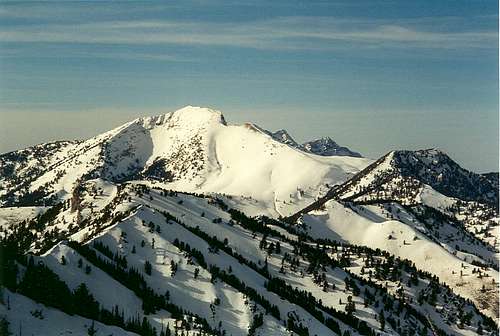
Deseret Peak Wilderness
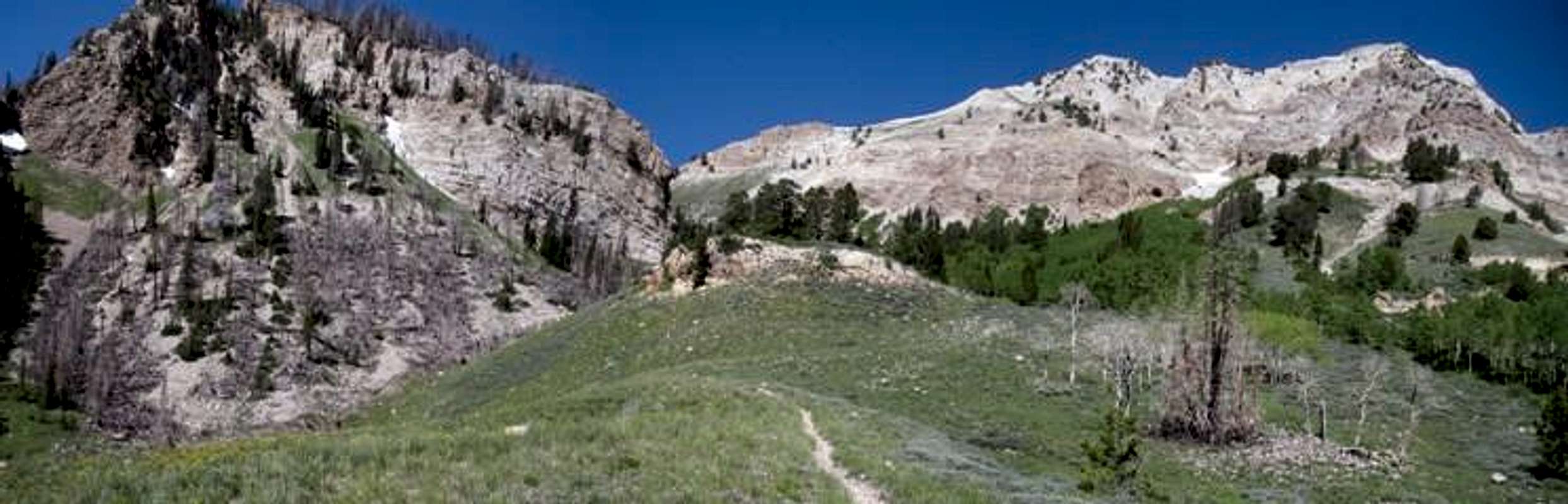
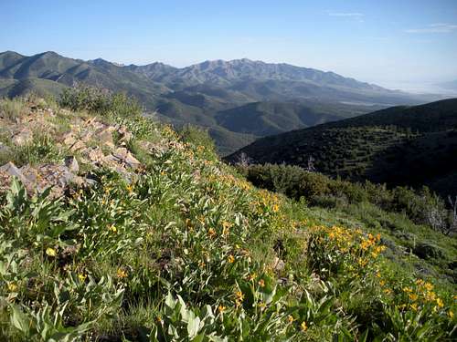
This area is where the majority of the people come when they visit the Stansbury Mountains. The Wilderness was established by Congress in 1984 with passage of the Utah Wilderness Act. It is entirely located in the Wasatch-Cache National Forest. The Deseret Peak Wilderness consists of approximately 25,500 acres and is generally bounded on the north by the Pass Canyon drainage, on the south by Vickory Mountain, on the west by Skull Valley and on the east by the Mack Canyon-Big Hollow Trail.
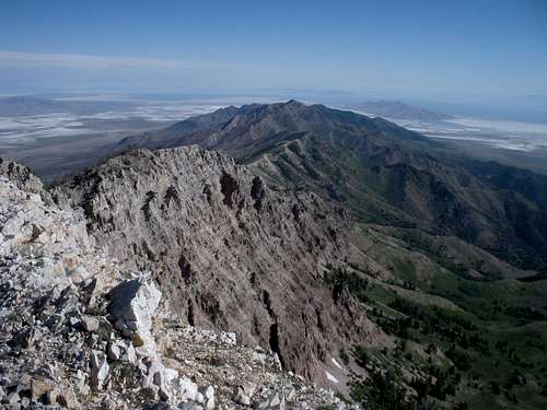
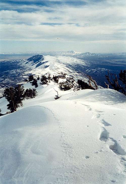
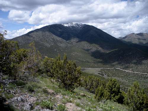
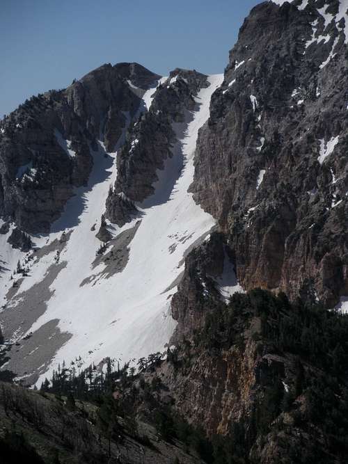
Deseret Peak is the highest summit in the wilderness and the Stansbury Mountains. It is an alpine mountain in a desert oasis and rises to an elevation of 11,031 feet. It is clearly visible for many miles around, particularly from across the Great Salt Lake to the north and the desert valleys to the west. It has impressive cliffs that drop precipitously down toward South Willow Canyon. While the Wasatch Range is crowded with hikers on the weekends, you can expect more solitude here. Vickory Mountain is located south of Deseret Peak and is one of the few named peaks in this area.

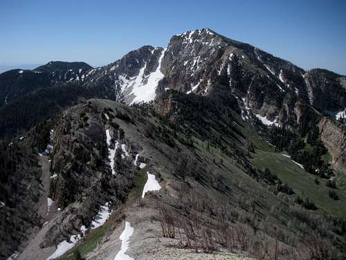
Deseret & Dry Lake Fork
10,685 & 10,521 from Mill Fork Trail
History
The Stansbury Mountains were named after Captain Howard Stansbury. He was an early surveyor in Utah. Stansbury Island located at the southern end of the Great Salt Lake was also named after him. He was sent to survey the Great Salt Lake area in 1850. Tooele is the county's largest city, and took its name from the valley, which Captain Howard Stansbury spelled "tuilla" on his surveying maps in 1849-50. The word Deseret is often used to mean the state of Utah. When the Mormons first came to the territory, they named the area The State of Deseret, a reference to the honey bee in The Book of Mormon. The beehive is the centerpiece of the Utah Great Seal and the Utah State Flag.
Red Tape
No fees for hiking, the majority of land is managed by the Wasatch-Cache National Forest. Surrounding most of the national forest is BLM lands although there are a few ranches here and there.
Roads on the north end of the range like the Muskrat Canyon Road are currently closed due to fire restoration.

Stansbury Front Trail near Box Elder Pass

Stansbury Front Trail

Stansbury Front Trail
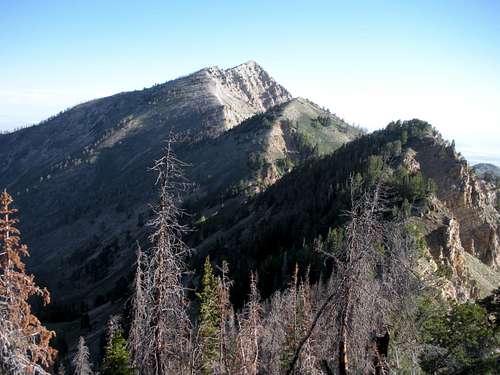
"Abbots" to Onaqui Benchmark
Camping
Free dispersed camping is located in most canyons.
Clover Spring BLM campground can be found at the south end of the range off Highway 199 between Rush Valley and Johnson Pass.
History of Clover Springs
There are six campgrounds in South Willow Canyon. They have picnic tables, fire pits, and restrooms. They are open between late-May and mid-October. All of them are on a first come, first serve basis, except for Upper Narrows Campground where you can reserve a group campsite.
South Willow Creek Camgpgrounds:
Cottonwood Canyon Campground – Located 1 miles up from the forest boundary. There are 2 campsites available. It is at an elevation of 6,080 feet.
Intake Campground – Located 1.5 miles from the forest boundary. There are 4 campsites available. It is at an elevation of 6,320 feet.
Boy Scout Campground – Located 1.7 miles from the forest boundary. There are 5 campsites available. It sits at 6,320 feet elevation.
Lower Narrows Campground – Located 2.2 miles from the forest boundary. There are 5 sites available. The campground is at 6,840 feet elevation.
Upper Narrows Campground - Located 3 miles from the forest boundary. There are 8 campsites available. Its sits is at 6,920 feet elevation.
Loop Campground – This is where the trailhead to Deseret Peak begins. There are nine campsites available. It’s located 4.5 miles from the forest boundary.
Contact Info
Wasatch-Cache National Forest 801-524-3900
Salt Lake Ranger District 801-733-2660
Public Lands Info Center 801-466-6411
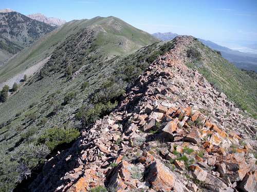
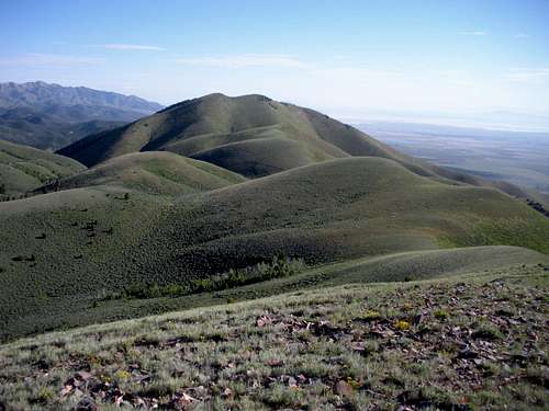
Vickory Ridge
Vickory Ridge
View south while climbing Vickory
Deseret Peak from Vickory
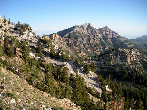
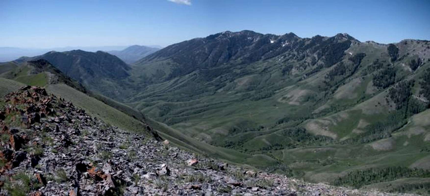
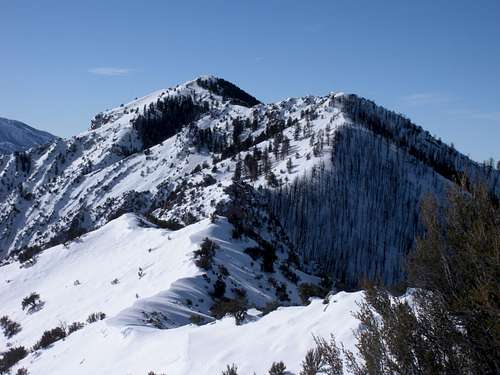
Mountains in the Stansbury Range
There are 15 highpoints with over 300 feet of prominence. Seven have official names, the other eight have been given a name in quotes. If you know of a local name or would like to suggest a better name, please contact me.
- Deseret Peak 11,031
- Peak 10,685 "South Willow Peak"
- Peak 10,521 "North Willow Peak"
- Vickory Mountain 10,330
- Bald Mountain 9,203
- Onaqui Benchmark 9,143
- Peak 8,900 "Davenport South"
- Peak 8,855 "North Slate Rock Peak"
- Peak 8,564 "Davenport North"
- Slate Rock Peak 8,347
- Peak 8,003 "Flux Peak"
- Peak 7,701 "Abbots"
- Little Bald Mountain 7,681
- Peak 7,005 "Davenport East"
- Salt Mountain 6,048
Deseret Peak
Peak 10,685 "South Willow Peak"

Peak 10,521 "North Willow Peak"
Vickory Peak from Deseret Peak
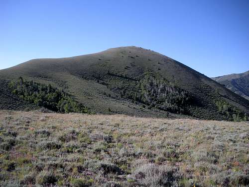
Bald Mountain
Peak 7701 "Abbots"

Peak 8855 "North Slate Rock Peak"
Little Bald Mountain

Slate Rock Peak
Vickory Peak from South
Onaqui BM from the north.
"Flux Peak"
Stansbury Island
Just north of the Stansbury Range is Stansbury Island which one could consider part of this mountain range. Maybe it's not geologically attached to the range but it's proximity should be considered if driving out in this area looking for a hiking option. Stansbury Island is known for its low elevation hiking, mountain biking trails and dramatic views of the Great Salt Lake.
Stansbury Island has 3 high points that have 300 plus feet of prominence. The island highpoint being one, is a 3 mile off trail hike which offers a nice getaway when heavy snows cover higher places.
- Stansbury Island 6,649
- Stansbury Benchmark 6,553
- Peak 6070 "South Stansbury"
Links for Stansbury Island Peaks:
Summitpost Page for the Highpoint
Great Salt Lake & Antelope Island
Looking south to Stansbury Mountains

Island ridge line

Peak 6070 "Stansbury South"
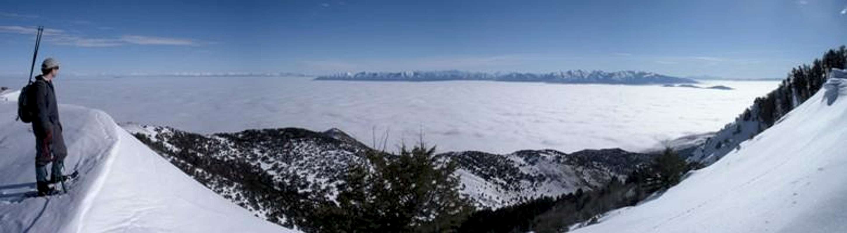
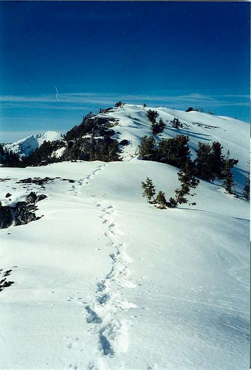
Skiing
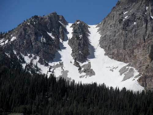
Twin Couloirs
Twin Couloirs
Summitpost Report on Skiing the Twin Couloirs