The Lead Up
My outdoor career began hiking and climbing peaks in California with the Boy Scouts and family. During college I picked up the art of the long dayhike from Bob Burd and Matthew Holliman, the idea that if you hike fast enough you can do everything in a day, never needing to lug around a heavy pack. After several years of peak bagging and hiking the Eastern Sierras, a man by the name of Jeff Kozak introduced me to the growing sport of Ultra running, it combine long mountain trails into races of 50K, 50mi, and 100mi. From that moment I was addicted and have been racing since. After moving to Colorado a running friend of mine introduced me to a mountaineering route known as "Nolans 14", it was half ultra race, half mountaineering challenge.
The route, formerly a race, climbs over all fourteen 14ers in the Sawatch Range of central Colorado, 44000ft of elevation over approximately 100miles. Raught with steep climbs, quad seering descents, lots of route finding, and fourteen 14,000+ft peaks. Veteran ultrarunners such as; Betsy Kalmeyer, Fred Vance, Hans Dieter-Weisshar, Eric Robinson, Gordon Hardman, and Matt Mahoney, had all tried Nolans and failed to finish all 14 peaks, and the current record holder, John Robinson, finished in a grueling 54h57min. I've always wanted to try the route, but had never felt strong enough or had the time to make an attempt. Finally in 2008, feeling as strong as I ever had I found a free weekend in early August and a friend(Mike) who was willing to help crew me. The stage was set for a 5am start at the Blank Gulch trailhead, from which I'd work my way North through the Sawatch Range climbing as many 14ers as I could on foot.
 |
 |
 |
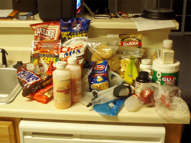
My food stash for 60h of Nolans. |
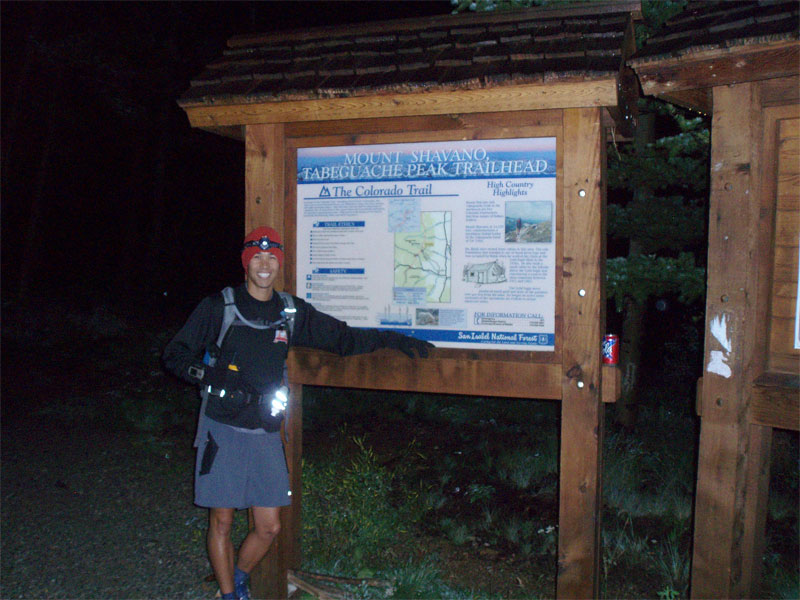
Blank Gulch and ready to go. |
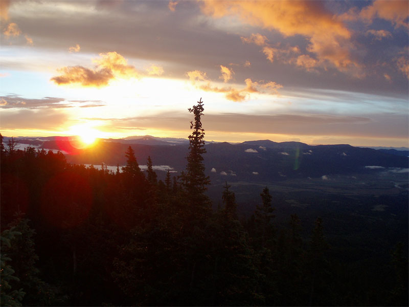
Sunrise on Friday 8-8-08, Shavano treeline. |
So it Begins; Shavano and Tabeguache
Mike and I arrived late Thursday evening(8-7) to light rain and low clouds hanging over the Blank Gulch trailhead. We camped out just down the road and listened to the rain intensify, praying it would let up for the long days ahead. I awoke at 410am to prep my pack and stuff as much food into me as possible. We drove to the trailhead under clearing skies, the rain had subsided, though the ground was damp. At 5am I finally set off on the Blank Gulch trail, my journey had begun. I hiked up the Colorado Trail turning North onto the Blank Gulch trail to Mt Shavano, the morning start was sluggish. As the sun rose between the breaking clouds at 605a my energy strengthened, finally breaking above treeline. I followed the standard route all the way to Shavano's summit, topping out on my first peak at 720a.
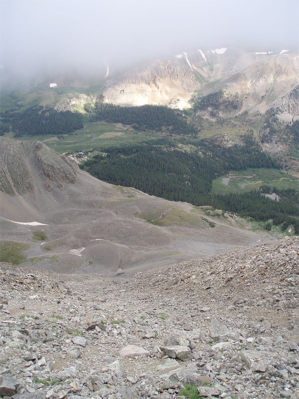
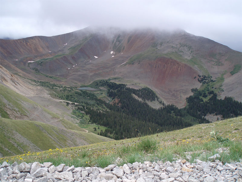
From the summit of Shavano it's an easy scramble over to Tabeguache's summit, where I found myself adrift in clouds at 755a. Occasionally I'd get a glimpse of Browns Creek far below. I opted to drop directly off the summit into a horrid scree gulley on the North face of Tabeguache. My first misstep of the day, a horridly loose 35degree scree/talus slope with not a single solid foot placement in the entire drainage. I slipped and crab walked my way down to a small waterfall, where I jogged left(West) into the next drainage over. I finally hit the grassy bench at 12400ft at 840a. I jogged across the tundra, staying toward the right side of the bench, traversing a short talus slope to a grassy bench that would lead me to Browns Creek. I waded through Browns Creek near 11600ft in a narrow canyon just upstream of the cascade. After a quick bite to eat it was time to head up Antero, back into the clouds.
My descent route should have backtracked to the Shav/Tab saddle then descended down to Brown's Creek from there, crossing just below the lake at 11400ft.
 |
 |
 |
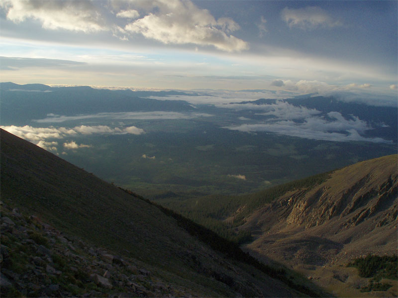
Low clouds over Salida. |
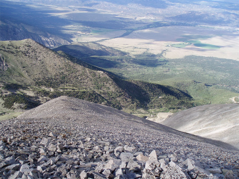
Tabeguache from Shavano. |
Nasty descent off Tabeguache. |
Still Moving; Antero
I left Brown's Creek and headed up the stream bed on the South side of Antero. I climbed into the broad bowl just left of the creek, headed for the left branch and the remnants of a large snowfield. The footing was good until the last 200ft where the angle steepened and the surface consisted of dirt and gravel. I topped out on the bowl and made a bee line for the Baldwin Gulch jeep road at 13100ft. From there it was a straight forward scramble to the summit of Antero. Once again I was shrowded in clouds as I reached the summit at 1050a. I didn't stay long, quickly making my way back to the saddle at 13700ft where the Baldwin Gulch short cut takes off. A use trail takes off down the slope on the right(West). The use trail traverses steeply around a rib then it's an easy scree ski down to the road switchback below at 12800ft. I took a slow jog down the Baldwin Gulch jeep road to the 2wd parking area near Chalk Creek. As it began to drizzle I zoned out and missed my turn on Chaffee Co 343A which would take me down to the town of Alpine. I jogged down CC343 past Baldwin Creek before realizing my mistake. So I kept going to the next bridge over Chalk Creek at 9000ft, adding an additional mile to my day. At 110p I met Mike for my first resupply and rest stop at the creek that comes out of Grouse Gulch.
From the base of the Baldwin Gulch jeep road I should have dropped down CC343 into Alpine and taken my second left up the road to a use trail on the North side of Alpine that leads into Grouse Gulch.
 |
 |
 |
Bowl South of Antero, I climbed to the snow. |
Scrambling up Antero in the clouds. |
Descending the Antero shortcut to the jeep road below(left). |
 |
 |
 |
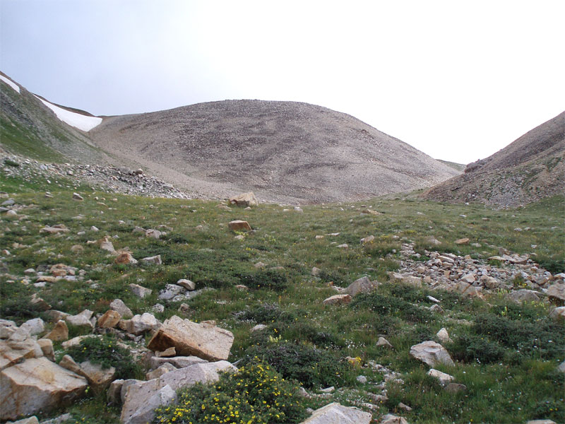
North Carbonate Peak from the jeep rd. |
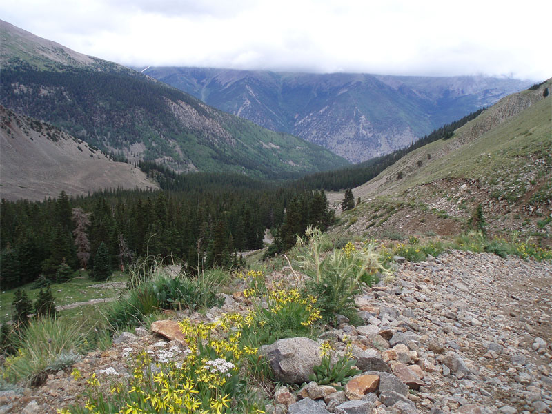
Staring at Princeton in the clouds from Baldwin Gulch. |
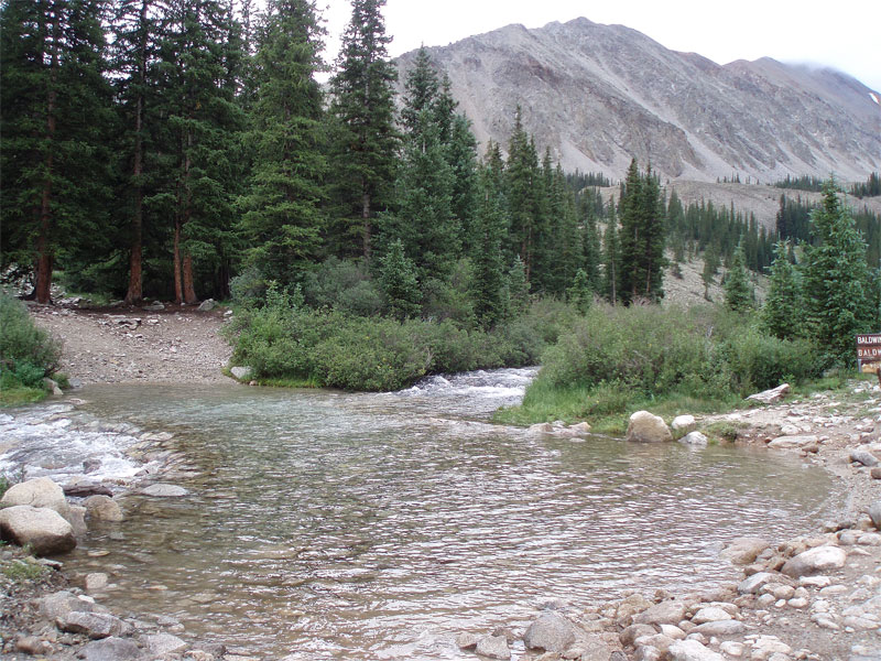
River crossing in Baldwin Gulch. |
The Long Trudge; Princeton
I sat down, changed my shoes, had some solid food, and looked at my map for the next section of the route. From the base of Grouse Gulch I'd climb 5000ft up use trails to Mt Princeton's summit, a tall order on fresh legs. After a brief spell of light drizzle the skies had cleared, and only a few lingering clouds remained, a good sign for this late afternoon climb. I bid Mike farewell at 130p and followed cairns up from the dirt road initially up the right side of the creek, crossing the creek a few hundred feet up. From there I wove my way along a network of animal trails up the left side of the creek to 10400ft. I cut hard right(East) and found myself just above the split in the two canyons. I forded the main creek, scrambled over the ridge and into the dry creek bed that ascends up the SW ridge of Princeton. Once in the creek bed a series of cairns confirmed I was on route, and with no water to be found the hiking was steep, but not difficult. I slowly made my way up to 11600ft where the creek bed opens up and a broad grassy ridge ascends to climbers left. I made for the ridge and slowly climbed to 13000ft where Princeton finally came into view at 345p. I scrambled left around the first gendarme, then right around the second. From there it's a straight shot along the ridgeline as it bends around to the summit of Mt Princeton. I summited under clear skies at 5pm. My stomach had started to sour a little as I climbed the ridge and was still giving me fits, preventing me from eating a lot. I dropped off the North side of Princeton not long after summitting, making my way down the NE ridge to the point at 13700ft. From here I dropped down the spur heading directly North into Maxwell Gulch, a horridly steep talus field that gave me fits all the way down to the mining buildings at 12200ft. This was the beginning of the end of my journey along Nolans14.
 |
 |
 |
Starting the trudge into Grouse Gulch. |
Climbing the dry stream bed in Grouse Gulch. |
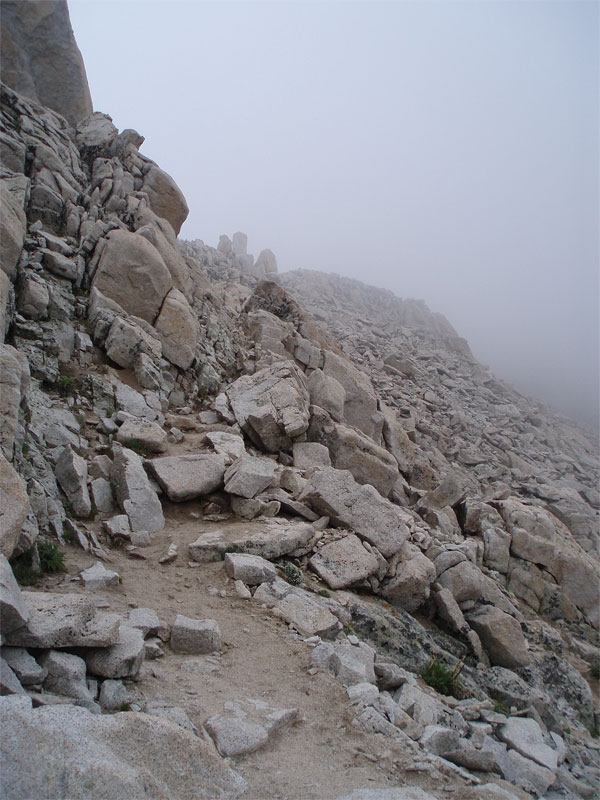
Princeton's SW ridge, summit in the distance. |
 |
 |
 |
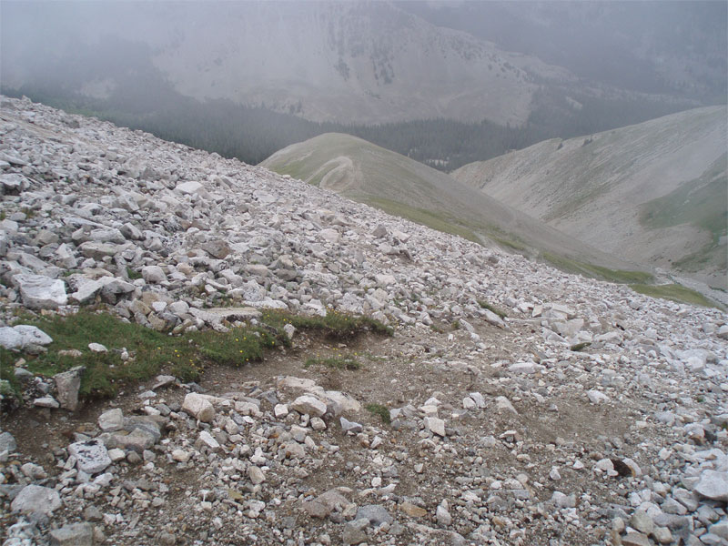
Looking back at Antero and Baldwin Gulch. |
Looking North to Yale/Columbia/Harvard from Princeton. |
Descending steep talus into Maxwell Gulch. |
Mentally Beaten....For Now
With legs a little bit shocked from yet another massive talus descent I started down an old trail into the valley below, always looking left for the jeep road described by Matt Mahoney on his Nolans14 site. I never found the jeep road and spent nearly an hour hacking through the dense aspens and undergrowth in Maxwell Gultch, cursing the whole while. I finally found myself on the Colorado Trail as it was nearing sunset. I alternated jogging and walking along the Colorado Trail until it finally pitched downward toward South Cottonwood Crk. At 810p I got Mike on the radio as I jogged down toward the road and told him I'd be at the Avalanche Gulch trailhead for Yale in about 30min. I hit the road and continued downhill, in my haste I didn't look at the map, this would turn out to be my downfall. About 20min later I was starting to become really concerned that I hadn't hit the paved CC306, which should have been only a mile from the Colorado Trail turn off. A quick glance at my map found me on CC344 headed toward Buena Vista, oh damn. I had just run 2miles the wrong direction and would have to regain 300ft and 2miles uphill just to get back on course. At this point it was getting dark and I had to switch on my headlamp as I jogged up CC306. I finally got Mike on the radio again and let him know of my mistake, he was 5min from going out to look for me. I finally trotted into the empty Avalanche Gulch parking area at 940p. After some debate I decided to call this the end of my Nolans journey for 2008. Mentally I just wasn't in it for the long haul, and that's no state to be in before a night alone in the mountains and a very committing 6 peak series looming the next day(Columbia to Huron).
Mike cooked me up some soup as I stretched and changed. A dispersed camping area sat just across from the trailhead, this would make for a nice campsite for the night. My feet were a little sore, quads tired from the jarring descents, and mind exhausted from hacking through the brush and my misturns. In all I'd climbed four 14ers, ascended 14200ft and descended 14800ft, covered 36miles of all sorts of terrain, and been on the trail for 17h 40min. A solid day in all, but a disappointing attempt at Nolans14. My legs still had strength but that would remain for another day, with 38miles of Leadville pacing on Aug 16th and another 36miles planned for the 22nd it was time to look toward the future. Nolans is a tough but fantastic journey, I naively attempted routes I had not scouted and underestimated how tough it was going to be. Next year the mountains will be waiting and hopefully I'll come back stronger and more mentally prepared for the multiday peak extravaganza that is Nolans.
 |
 |
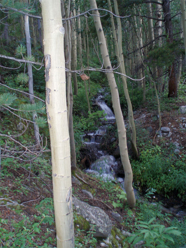
Heavy brush in Maxwell Gulch. |
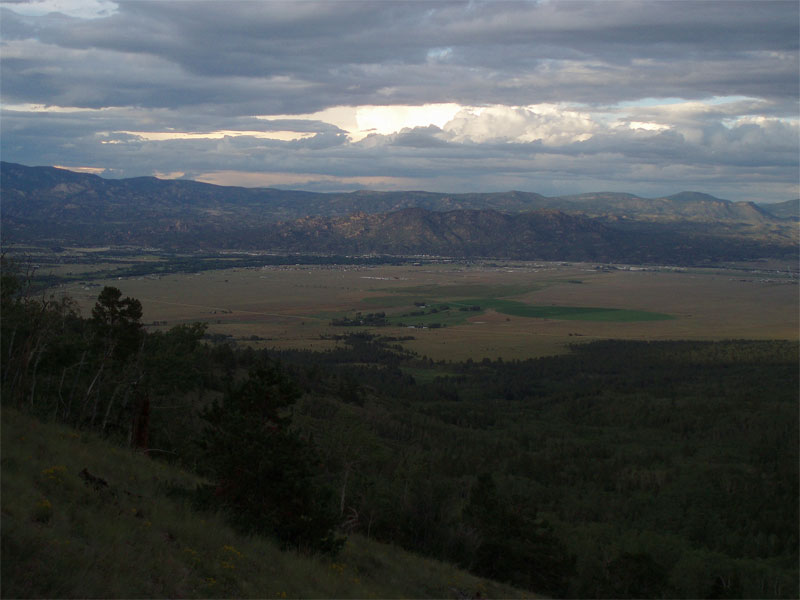
Sunset over Buena Vista. |


Comments
Post a Comment