
|
|
Mountain/Rock |
|---|---|
|
|
35.98130°N / 51.51570°E |
|
|
11443 ft / 3488 m |
|
|
Overview
| Click for Introduction to Central Alborz Mountains Click for Map of Central Alborz Click for Map of Azad Kooh/Kholeno area (including Abak) 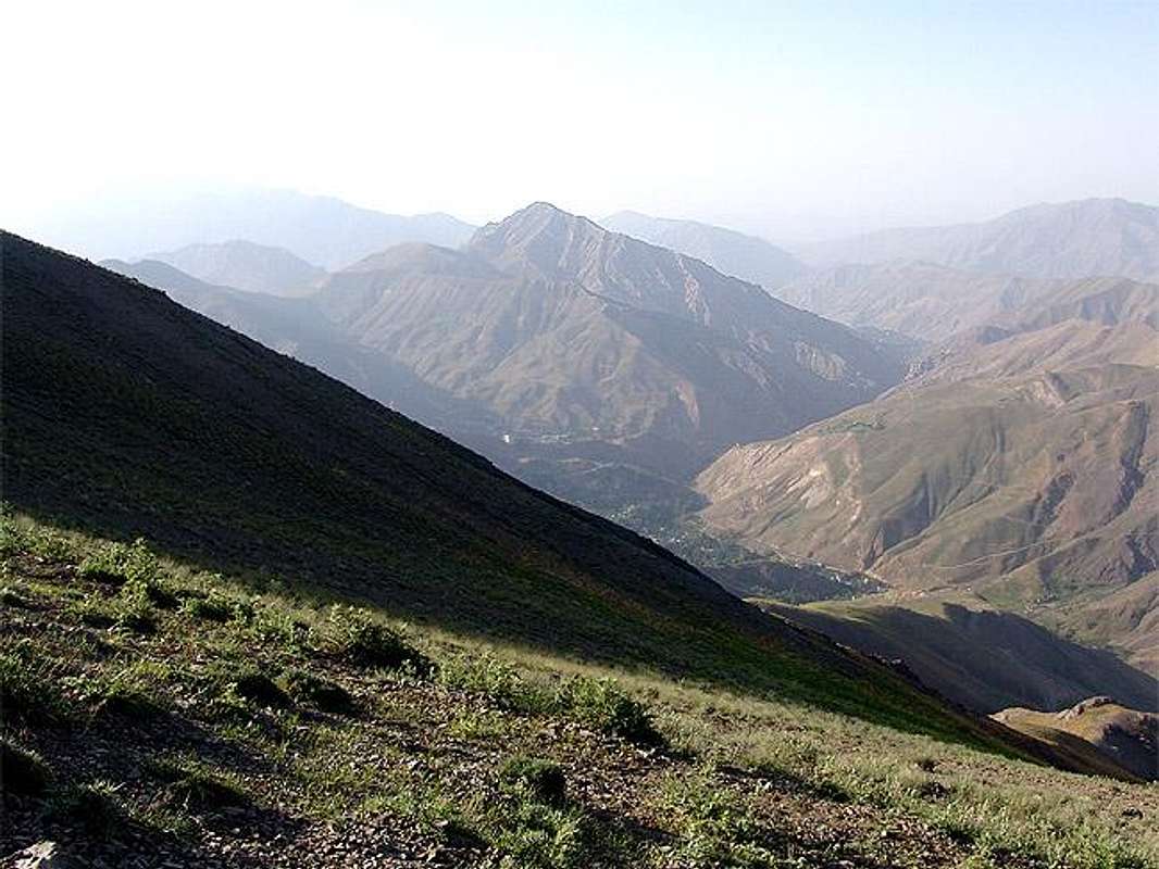 West and north-west of Abak viewed from Koolon Bastak(4156m)'s south route. 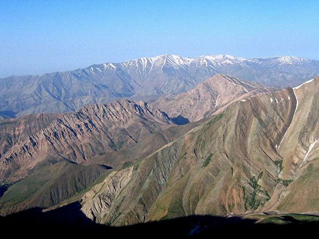 [by] [by]The pink mountain is east wall of Abak, viewed from the 3962m peak of Jahneston Peaks | |||||||||
| Introduction | |||||||||
|
Anyway Abak is like a small bump that is surrounded by some tall peaks of Central Alborz, so it's rarely the choice of the climbers, but climbing the east face is a good challenge, for example looking down to Abak from Koloon Bastak(4165m) summit really proves how low it is and it's nothing but a small bump. | |||||||||
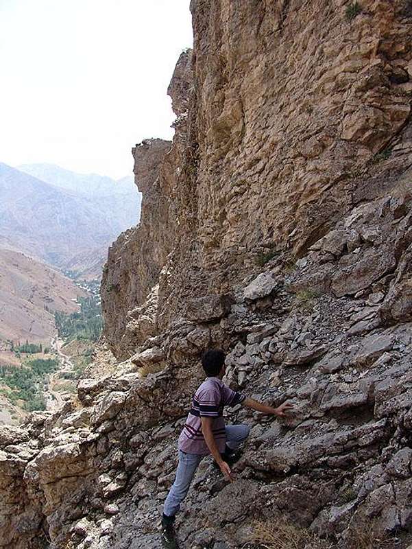
| The rough East and West face | |||||||||
| |||||||||
| About Iran and Shemshak/Dizin area | |||||||||
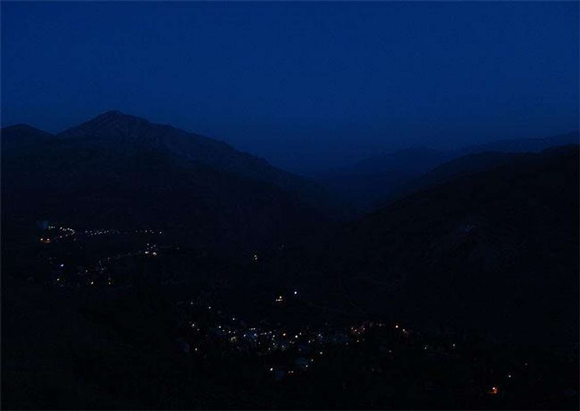 Shemshak and Darbandsar villages | |||||||||
| [I added this section to give a small glance to people who want to travel to Iran, also as Abak is located at one of the major skiing zones of Iran, I have added some gathered in formations about the ski resorts around Abak.] Iran is high plane hosting two vast ranges of mountains Alborz and Zagros including hundreds of 4000+m summits. Even taught there are two big deserts in the middle of Iran still it's been said 3/4 of the plane is covered by mountains, there are still lots of 4000+m and 3000+m outside the Alborz and Zagros ranges scattered all over the Iran plane like Kerman mountains and Taftan volcano, the weather varies from dry hot to mountain conditions and to the thick green lush and humidity of the north Caspian sea coast. The behavior of Iranians is friendly and they are helpful to foreign people from Europe and America (this friendly behaves may no be applied to Arabs), you can quickly make a friend who would be glad to guide you and stay beside you and invite you to his/her home. The pipe-supplied and mineral water and food served in restaurants and supplied from stores is safe (avoid food from road sellers in downtown). Security is granted by the police, there are two kind of polices in Iran the green ones and the blue ones, blue is only for traffic control, greens are for security and criminal matters. | |||||||||
Getting There
| East face | From Tehran drive Sadr and Babaee freeways -> turn right into Lashgarak road -> drive to Fasham -> take the right branch (flagged as Zayegan...) -> turn north into Routeh village road bypass the village and go to the end of the trail until you get into a narrow valley, the left steep slopes are Abbak's east face. (about 70Km / 1 hour driving) Note that the last parts of the trail requires a 4WD car. |
| North face | From Tehran drive Sadr and Babaee freeways -> turn right into Lashgarak road -> drive to Fasham -> take the left branch and reach Shemshak village (about 70Km / 1 hour driving) -> walk up the the Shemshak ski resort, then you can step into the north-west route to Abbak. |
Red Tapes and Regional Hints
| The whole Alborz mountains area and it's wild nature is a protected place, hunting, fishing and abusing the nature is prohibited |
| No fees of permission is required for climbing or camping |
When To Climb
| Best | Spring and autumn. |
| Photography | Every when. |
| Summer | Better climb when the sky is cloudy or start your climb 4~5 am. |
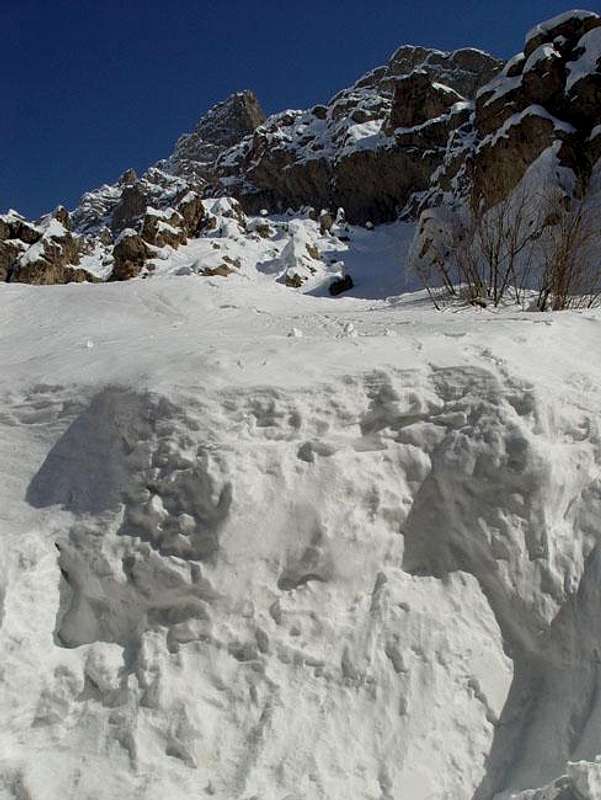
| Winter | Heavy snow covers the area, I think skiing is a better choice. |
Mountain Conditions
| Summer | Moderate |
| Winter | Heavy snow and winter mountain conditions |