

-
 4520 Hits
-
 78.27% Score
-
 9 Votes
|
|
List |
|---|---|
|
|
DEGREE OF DIFFICULTY
A L P I N I S M
- F= Easy
- PD= Slightly difficult
- AD= Rather difficult
- D= Difficult
H I K I N G
- T= Tourist – Itineraries on footpaths, mule tracks or wide paths. Don't present orienteering problems.
- E= Excursion route without technical difficulty – Itineraries on footpaths or trails on different ground types (grassy meadows, rocky ground). Orienteering capacity and good training to walk some hours are required.
- EE= Trekking routes for expert hikers – Sign-posted itineraries with some difficulties: slippery, grassy or rocky ground, rocky or snowy slope or easy climbing passage (use of hands necessary). Only for experienced mountain hikers with at secure step, a good feeling for balance. Physical training for 1-day walk required.
- EEA= Trekking routes for expert hikers with equipment – Equipped tracks or "vie ferrate". Technical equipment required.
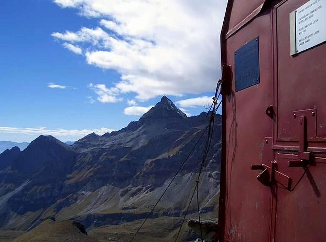
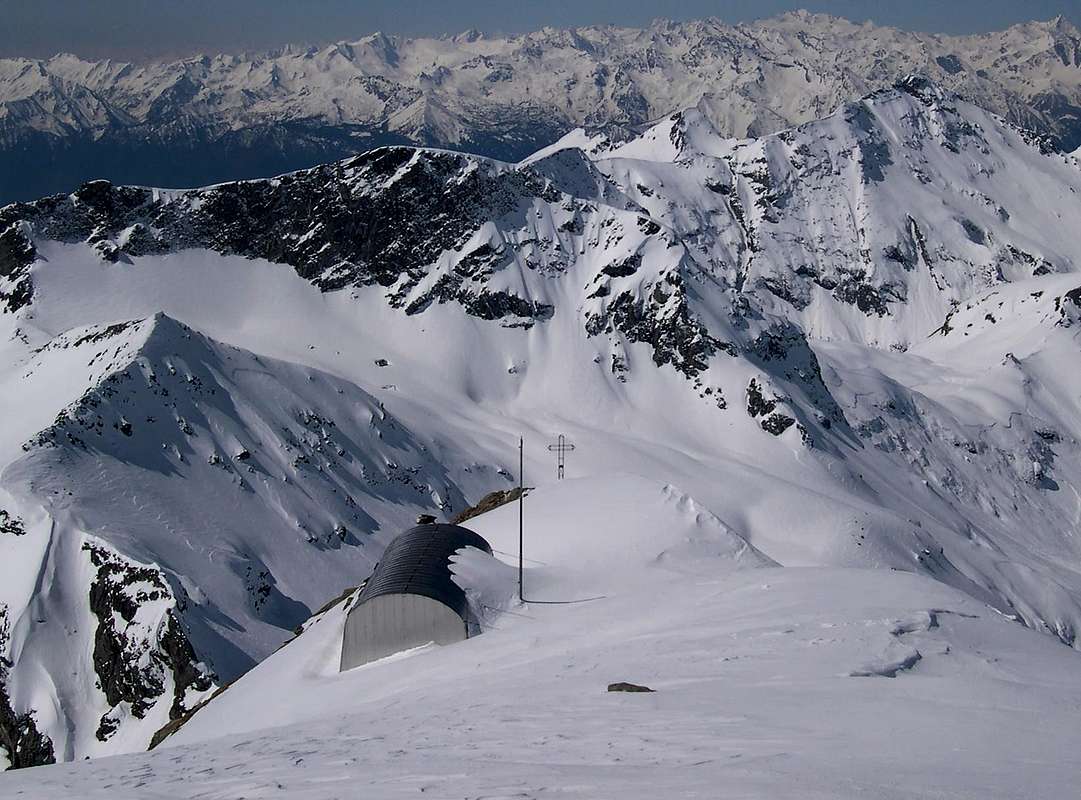
ALPINE BIVOUACS
Route: From Aosta (583m) - Nus (529m) - Châtillon (549m) - Verrès (391m) - Brusson (1.338m) - Champoluc (1.568m) - Saint Jacques (1.689m) - Bivouac (2.830m)
Time: 3h'30 - 3h'45 from Saint Jacques (1.689m)
Difficulty: E
Opening period: Always opens
Owner: C.A.I. Sezione di Mariano Comense
Places: 9
Climbs and excursions: Gobba di Rollin (3.899m), Breithorn Occidentale (4.165m), Colli delle Cime Bianche (2.896m/2.981m)
Internet: -

Route: From Aosta (583m) - Nus (529m) - Châtillon (549m) - Verrès (391m) - Brusson (1.338m) - Champoluc (1.568m) - Saint Jacques (1.689m) - Rifugio Ottorino Mezzalama (3.004m) - Bivouac (3.750m)
Time: 3h'30 - 3h'45 from Rifugio Ottorino Mezzalama (3.004m)
Difficulty: PD
Opening period: Always opens
Owner: C.A.I. Uget. Torino
Places: 5
Climbs and excursions: Breithorn Orientale (4.141m), Breithorn Centrale (4.160m), Breithorn Occidentale (4.165m), Roccia Nera (4.075m), Castore (4.226m), Polluce (4.091m), Punta Perazzi (3.906m), Gobba di Rollin (3.899m)
Internet: -
Route: From Aosta (583m) - Nus (529m) - Châtillon (549m) - Verrès (391m) - Brusson (1.338m) - Champoluc (1.568m) - Rifugio Vieux Crest (1.935m) - Bivouac (3.132m)
Time: 3h'30 - 3h'45 from Rifugio Vieux Crest (1.935m)
Difficulty: E
Opening period: Always opens
Owner: C.A.I.
Places: 20
Climbs and excursions: Testa Grigia (3.374m), Mascognaz Pass (2.859m), Colle di Pinter Lakes (2.692m)
Internet: -