T=Tourist – Itineraries on footpaths, mule tracks or wide paths. Don't present orienteering problems.
E=Excursion route without technical difficulty – Itineraries on footpaths or trails on different ground types (grassy meadows, rocky ground). Orienteering capacity and good training to walk some hours are required.
EE=Trekking routes for expert hikers – Sign-posted itineraries with some difficulties: slippery, grassy or rocky ground, rocky or snowy slope or easy climbing passage (use of hands necessary). Only for experienced mountain hikers with at secure step, a good feeling for balance. Physical training for 1-day walk required.
EEA=Trekking routes for expert hikers with equipment – Equipped tracks or "vie ferrate". Technical equipment required.
Time: 4h'00 - 4h'30 from Rifugio Prarayer (2.005m)
Difficulty:PD
Opening period: Always opens
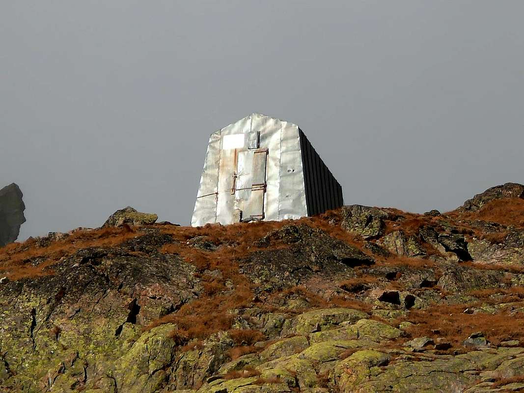
Owner: C.A.A.I.
Places: 15
Climbs and excursions: Dent d'Hérens (4.171m), Punta Margherita (3.905m), Punta dei Cors (3.842m), Les Jumeaux (3.878m), Becca di Guin (3.742m), Punta Budden (3.630m)Internet: -
Route: From Aosta (583m) - Valpelline (960m) - Oyace (1.365m) - Dzovenno (1.575m) - Bionaz (1.606m) - Chamen (1.710m) - Place Moulin (1.969m) - Rifugio Prarayer (2.005m) - Bivouac Tête des Roéses (3.215m) - Bivouac (3.572m)
Time: 2h'30 - 3h'00 from Bivouac Tête des Roéses (3.215m)
Difficulty:D
Opening period: Always opens
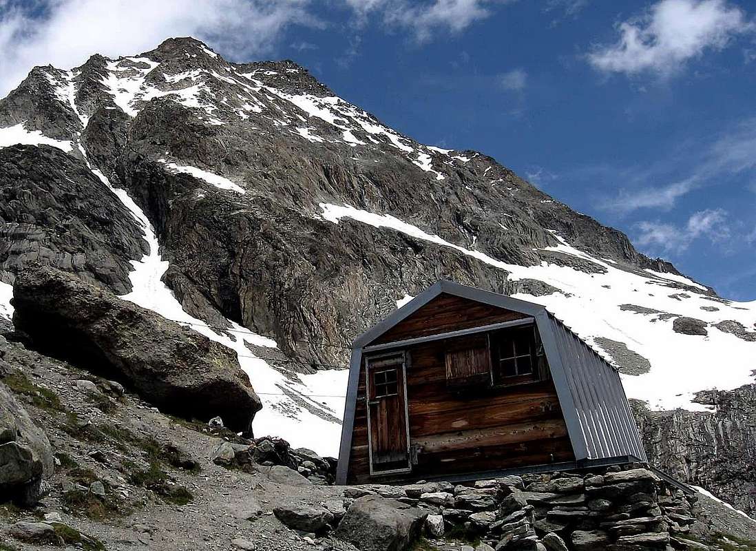
Owner: Società Guide del Cervino
Places: 9
Climbs and excursions: Dent d'Hérens (4.171m), Punta Margherita (3.905m), Punta dei Cors (3.842m), Les Jumeaux (3.878m), Becca di Guin (3.742m), Punta Budden (3.630m)Internet: -
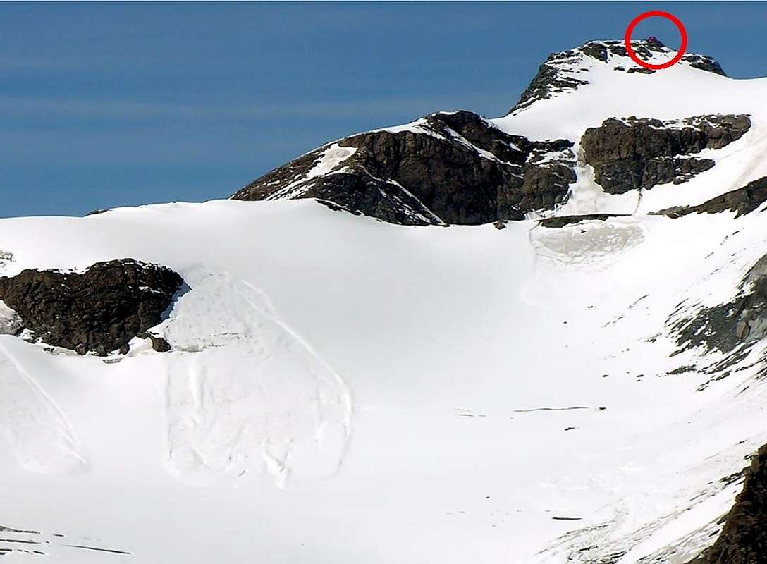
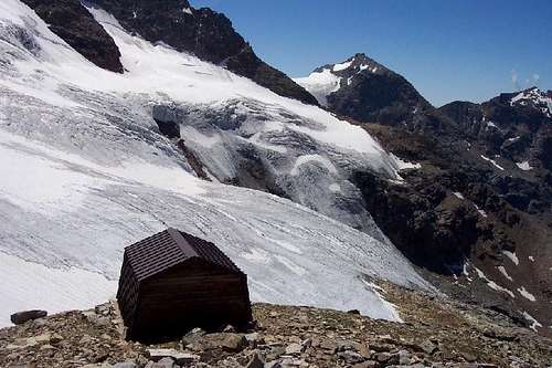
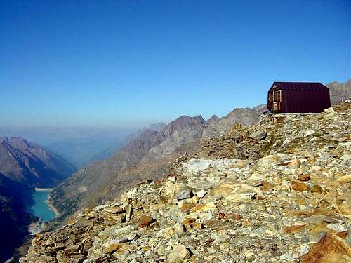
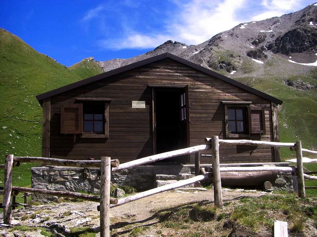
Denomination:Bivacco LA LLIÉE Vallone di VerzignoletteAltitude:2.422m
Parents refers to a larger category under which an object falls. For example, theAconcagua mountain page has the 'Aconcagua Group' and the 'Seven Summits' asparents and is a parent itself to many routes, photos, and Trip Reports.


 7253 Hits
 77.48% Score
 8 Votes