

Comments
No comments posted yet.
|
|
Trip Report |
|---|---|
|
|
40.53370°N / 111.7052°W |
|
|
Sep 15, 2007 |
|
|
Hiking |
|
|
Summer |
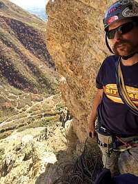
Pfeifferhorn (aka Little Matterhorn) is 11,326 ft above sea level. Vanman798 and two others did this 4.5 mile (one-way) hike as an overnight trip on September 14 and 15, 2007. We started hiking at around 5:30 pm from the White Pine trail parking lot (which is located just before the first Snowbird parking lot in Little Cottonwood canyon). The trail started out as an old fire road, and after about a mile we branched off of the fire road toward our first day destination of Lower Red Pine Lake (a distance of about 3 miles). Just before sunset, and just a few yards shy of the lake we found a great camping spot in some pine trees near a creek. We barely got the tents up before the sun set and the threatening rain teased us. The wind blew all night and the rain continued to threaten but never really materialized beyond a few random sprinkles.
15 September 2007, we got a late start at around 9:30 am. The hike from our camp spot took us first to lower Red Pine Lake, around it’s east side, then up a steep incline, via a very faint trail, to a dried up lake to the west of upper Red Pine Lake. From there we wandered up a steep ridge to the west of the dried up lake, arriving close to the false summit, on the east ridge of the mountain, with awesome views into Utah County. At the false summit ridge we encountered strong, cold winds, so we put on our coats and continued up, in a westerly direction, to the class 3 knife edge ridge over Maybird Gulch. We scrambled over the rocky ridge pausing for several climbers who were descending, and then did the final steep push up the east side of Pfeifferhorn to the peak at 11,326 ft. I don’t recall the exact peak reaching time but it seems it was slightly before noon, meaning it took us about 2.5 hours from the lower lake to the peak (we were slow).
From the peak we could see Utah Lake to the southwest, Mount Timpanogos to the south, Lone Peak to the west, the Salt Lake Valley to the north and northwest, and Snowbird ski resort to the east. Click here to watch our short peak video.
We finished our lunches on the peak, took a few pictures, and then descended, arriving back to our camp spot around 2:45 pm. At camp we cooked and ate lunch, then packed up our gear, and hiked down. We were back at the parking lot by 6 pm.
Overall the hike was not too strenuous. The hike up to the lower lake isn’t steep, and with having spent the night the push to the top likely seemed a lot easier. This hike was a good one to camp on because of the easy access to water.