|
|
Trip Report |
|---|---|
|
|
Download GPX » View Route on Map |
|
|
Sep 19, 2020 |
|
|
Hiking |
|
|
Summer |
Upper Salt Creek to Angel Arch
Angel Arch has always been something I wanted to see since I first saw a picture of it in my parent's World Book Encyclopedia when I was a kid. After several trips to Utah where either lack of time/equipment or poor trail conditions had prevented the journey, the COVID-19 social distancing seemed to call for making this trek. So after acquiring a Salt/Horse Zone at-large permit and being assured that the road to Peekaboo was passable a few days earlier, we were on our way to Moab, hopeful to see this incredible rock formation. That was when the phone started ringing from a 435 (Moab) area code number. That would turn out to be the backcountry ranger calling to say that the road to Peekaboo was not passable (and hadn't been most of the summer) due to flash flood damage. Ok, add another seven miles RT with a backpack to the route. He also said the Squaw Flats campground was full which was good information as we would not have to waste time finding that out and could head straight to the BLM campgrounds outside the park.
We arrived at the Needles District a little after dark and spent the night at the Superbowl campground. Never really got to see what the campground looked like as we threw the tent up and went to sleep right away and then were up before dawn to try to get an early start. We arrived at the Horse/Salt Creek Canyon road entrance just as it was getting light and found the gate locked as expected. We loaded up our packs for the long twelve-mile trip in lugging almost two gallons of water per person as recommended by the ranger.
The first part of the trip is unremarkable (well unremarkable by Canyonlands standards). Upper Salt Canyon is wide and not much in terms of interesting rock formations at this point. The road was flat and sandy with a few pools of water (the last water we would see til we returned) most of the way to Peekaboo. There is a lot of talk about this road, but not a lot of details (and even fewer pictures). Here are several pictures that should give some idea of the road conditions.


The first couple of miles the road looked to be in pretty good shape and most 4x4 vehicles could probably handle this as long as they could negotiate the deep sand. I started to think that maybe the ranger was being overly cautious. After two miles, we reached the junction of Horse and Salt Canyon.

A little further up Salt Creek Canyon, there were a few spots in the road that would have been tricky to get passed in a vehicle.


Over the next mile and a half, the scenery became more interesting as we reached Peekaboo campsite. There are some interesting ancient pictographs on the rocks above the campsites.
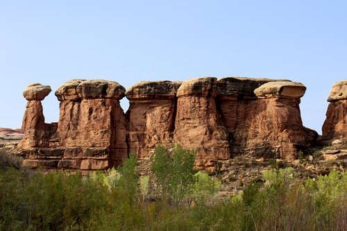


From Peekaboo, it was another eight miles slogging through Upper Salt Creek Canyon and its incredible rock formations. The heat was repressive and it was good we heeded the rangers' advice to take a lot of water.

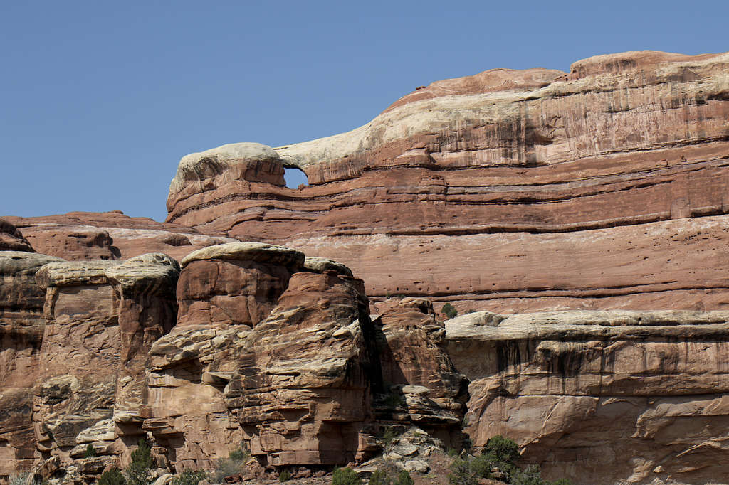

Reaching Crescent Arch indicated about four miles left to go.

And after a long, hot afternoon of hiking, an innocuous, well-hidden sign indicated the entrance to the canyon that contains Angel Arch.

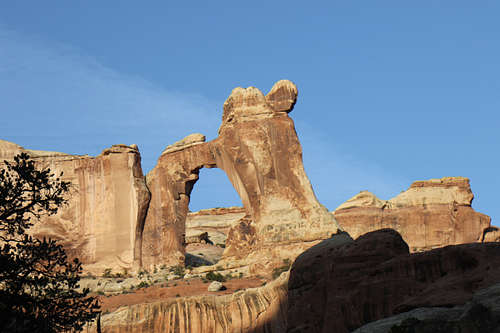
Another mile or so up this canyon past more incredible rock formations brought Angel Arch into sight. It is way at the very end of the canyon.
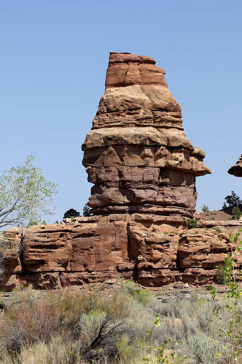

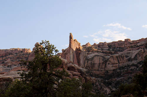
Due to the angle of the sun and the direction that Angel Arch faces, it is best viewed at sunrise. We decided to set up camp on the slick rock that permeates the bottom of the canyon and head to the arch early in the morning. After a nice dinner, we enjoyed the evening colors of the canyon and slept under a starry Utah sky enjoying a much-deserved rest.
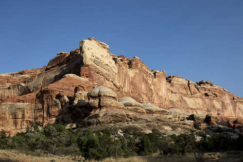
The next morning, we left before sunrise to try to reach the arch as the sun came up. This is when the magic happened. The lighting is simply incredible at this time of day and thanks to the pilots who put a contrail right over the arch. Not another soul within miles, we spent over two hours enjoying this spine-tingling sight.
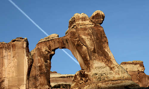
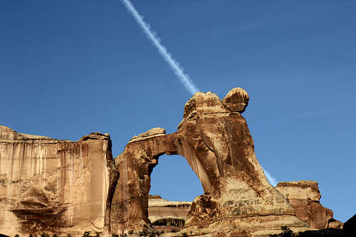
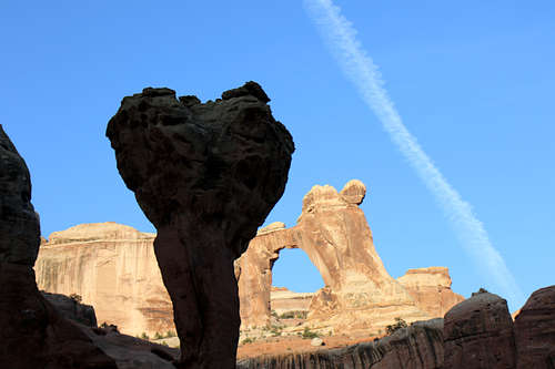

Unfortunately, nature's show doesn't last forever and we needed to return the way we came. We broke camp and headed out for another hot day in Upper Salt Creek Canyon with one more thing ticked off the bucket list.
