
|
|
Mountain/Rock |
|---|---|
|
|
35.91576°N / 51.35722°E |
|
|
Hiking, Mountaineering, Sport Climbing, Scrambling, Skiing |
|
|
Spring, Summer, Fall, Winter |
|
|
12333 ft / 3759 m |
|
|
Overview
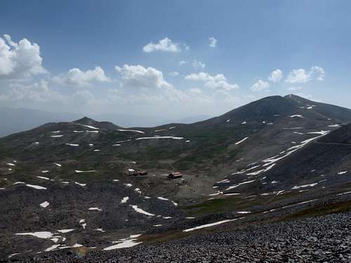
Mt. Bazarak is located on the western side of the Tochal ridgeline. A big part of the ridgeline starting from West Lezon on the east and ending to Mt. Bazarak on the west is higher than 3600m. There are many ways to get to this mountain. The easiest way (specially for lazy people like myself) is to take the gondola, and go to the 7th station of the Tochal telecabin (3730m), and start hiking to the west toward Mt. Shah-neshin. After you reach to the end of the Shah-neshin ridge, the direction changes toward northwest. Just keep going on the ridge till you get to Bazarak peak.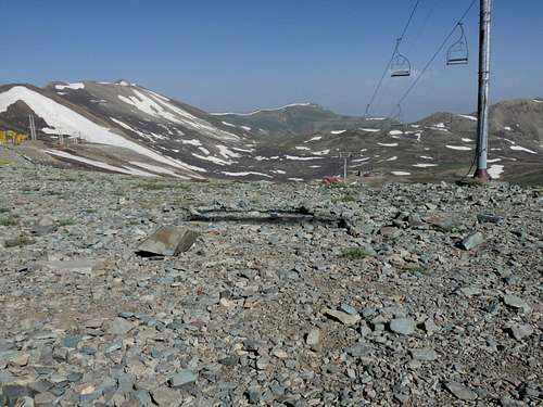
 Shah-neshin ridge
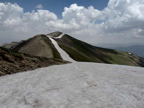 Bazarak ridge
The eastern side of Mt. Bazarak and the northern side of Mt. Shah-neshin have very nice slopes. The area has a huge potential to be one the greatest ski resorts in the world. The slopes go all the way down to the village of Shahrestanak. The Tochal ski area can also be connected to these slopes so the total vertical elevation change can be around 1650m (from 3850m to 2200m).
 Tochal ski area
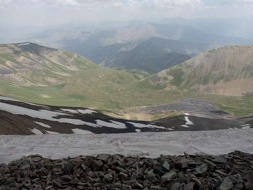


Unfortunately, the weather condition was very hazy, so the mountains in the distance were either invisible or barely visible.
Getting There
The easiest way is to go to the end of Velenjak Ave. in northern Tehran and ride the gondola, and go to the 7th station, and start from there.The village of Shahrestanak or the village of Emamzadeh Davood could be the starting points too.