
-
 13191 Hits
-
 79.52% Score
-
 11 Votes
|
|
Mountain/Rock |
|---|---|
|
|
39.14400°N / 107.2755°W |
|
|
10003 ft / 3049 m |
|
|
Overview
Bears Point is about one mile north of McClure Pass on Highway 133 in Central Colorado. Bears Point comprises the easternmost end of Huntsman Ridge. Huntsman Ridge is a popular destination for people living in the area. Excellent backcountry glisse can be found off of Bears Point's north face and further west off of Huntsman Ridge.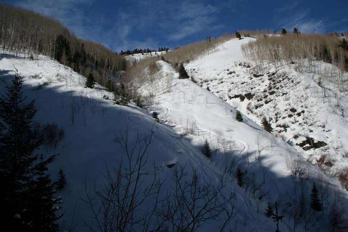
Looking up at Huntsman Ridge from Bears Gulch.
Hunting around and hiking and skiing to Huntsman Ridge is discussed here. Hunting season is from August 28 - November 10. If hiking during huting season, wear bright orange.
From the summit, Snowmass Mountain, Hayes Peak, Marble Peak, Snowmass Mountain and Mount Sopris are visible.
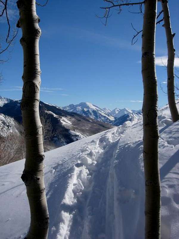
Looking east from Bears Point's North Ridge.
Getting There
Drive Highway 133 from Paonia or Carbondale. Park a few hundred yards east of McClure Pass on the north side of the road. During dry periods, a dirt road will take you north up to Huntsman Ridge. During snow periods, a skin track will most likely take you north up to Huntsman Ridge. If not, check out this topo. After gaining Hunstman Ridge, follow it east to Bears Point. This is no more than class two.Roundtrip Distance: 2.4 miles
Elevation Gain: 1,323'
![Red: Ascent. Blue: Ski...]()
Bears Point from McClure Pass and ski descent options.
Colorado Avalanche Information Center (CAIC)
Roaring Fork Avalanche Center
Elevation Gain: 1,323'
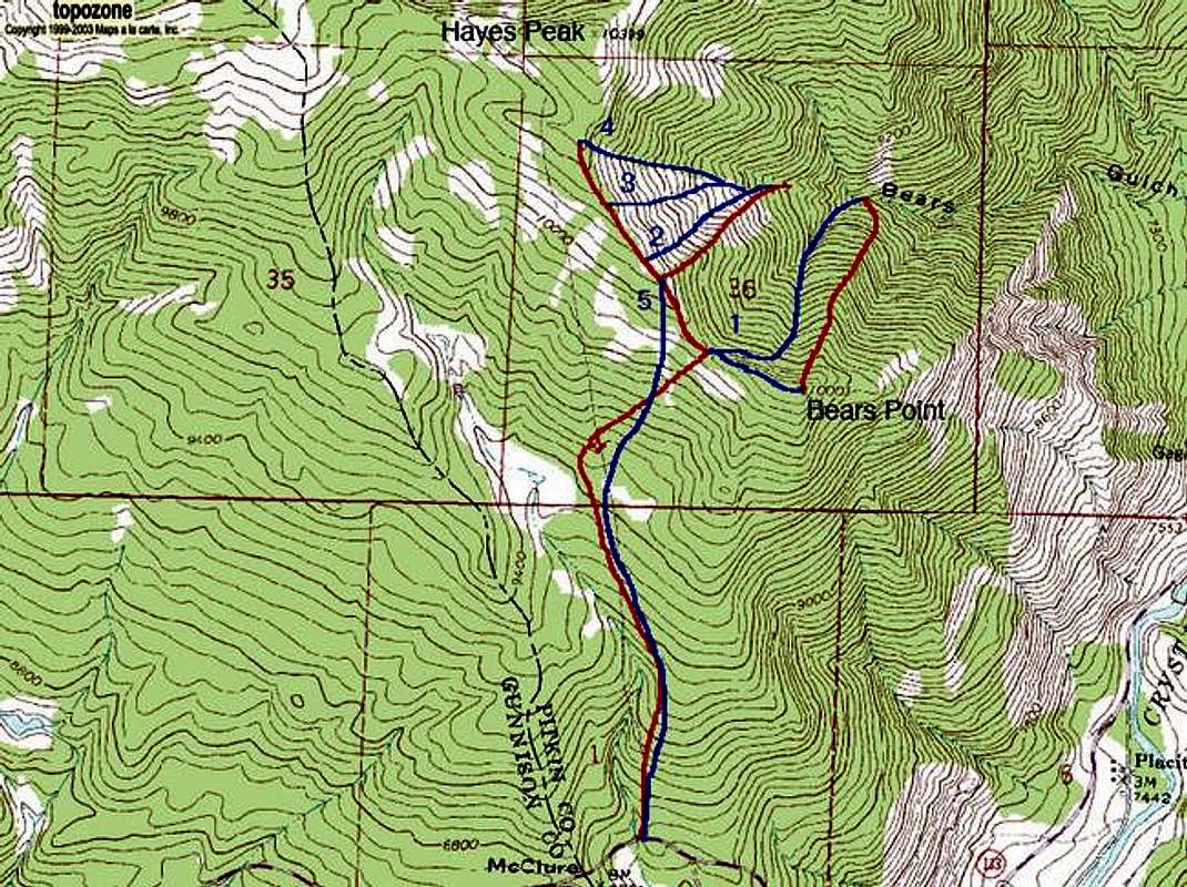
Bears Point from McClure Pass and ski descent options.
Red Tape
Bears Point is located in White River National Forest Aspen Ranger District.Camping
There are plenty of free places to camp on top of McClure Pass.Mountain Conditions
7 Day Forecast for Marble, COColorado Avalanche Information Center (CAIC)
Roaring Fork Avalanche Center