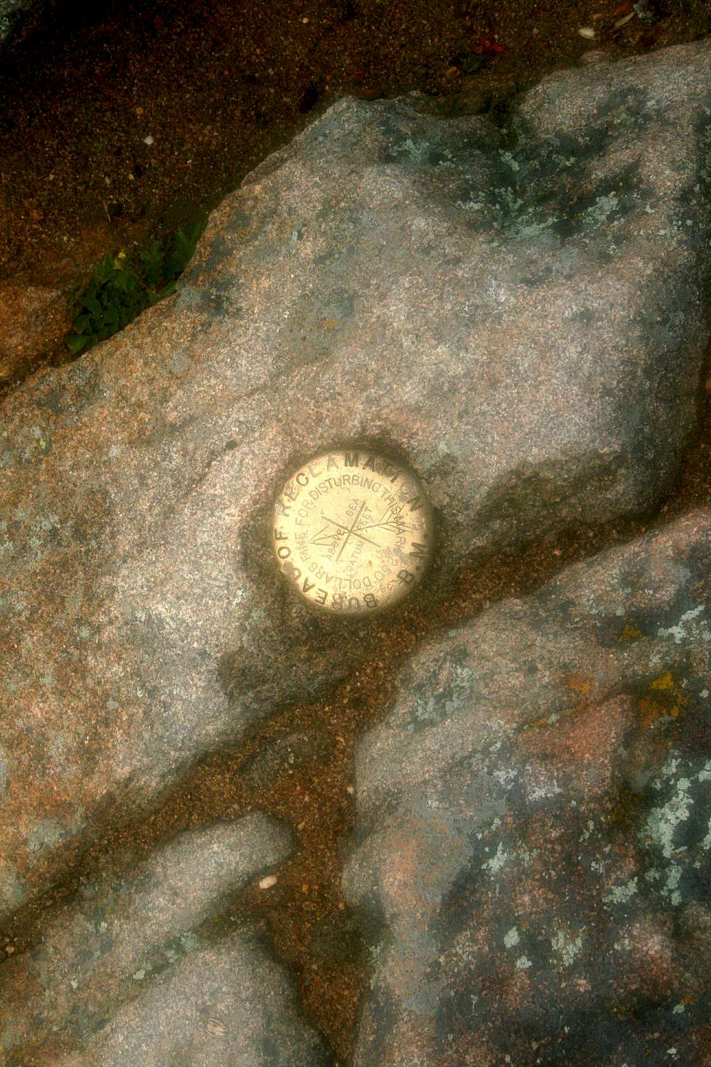
Benchmark on Deer Mountain
This was a new one for me -- a benchmark from the Bureau of Reclamation! BuRec builds irrigation dams. It's true there are a surprising number of old dams and irrigation projects scattered throughout RMNP, a few of which are still in use, but why does BuRec need a benchmark on top of Deer Mountain??
June 2009.


