Waters of the Bitterroot Mountains
Layout designed for best viewing on a "1024 x 768" screen
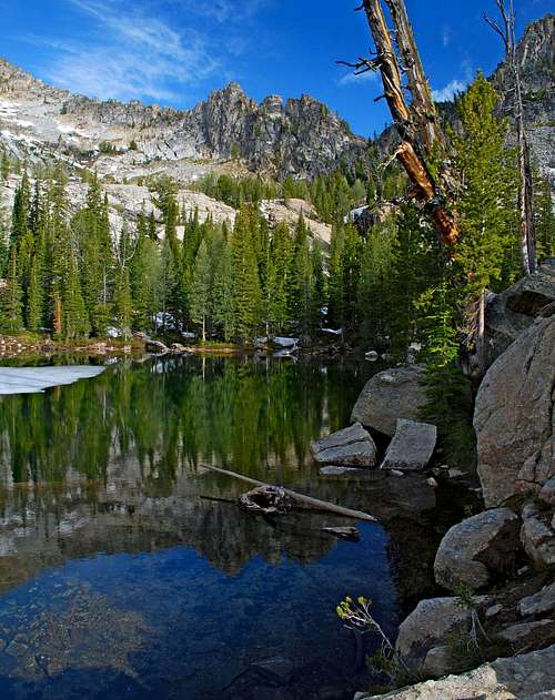
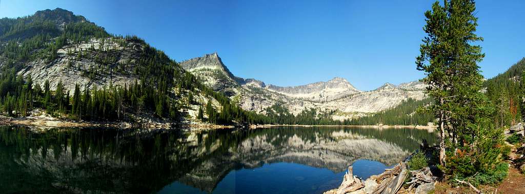
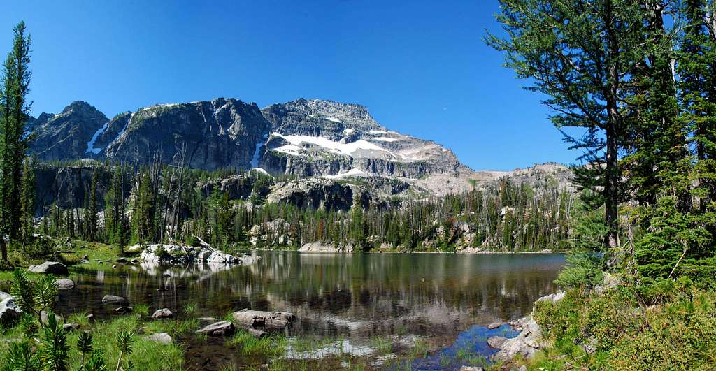
Gendarmes reflect in Middle Lake
![Middle Lake]()
|
Water. Whether lake, stream, pond, or more solid as ice or snow, water has an immense impact on the mountain environment. Its presence, or lack thereof, helps determine plant growth, the occurrence of animal life, even the form of the rock and the shape of the land.
The liquid form of water, one of the most popular elements of the pictures that appear on
SummitPost, takes many shapes in my favorite climbing area,
The Bitterroot Mountains. I photograph that life-giving fluid often, yet seem to misplace old shots. So, I decided to set up this album in an attempt to better track my "water" pictures plus "show off" one of the major attractions for those who hike and climb in the Bitterroot Mountains.
Many of the lakes in the Bitterroots are man made, designed to hold water for agricultural irrigation of the Bitterroot Valley during the normally arid summers. These "artificial" lakes were placed quite high in the naturally occurring east-west drainages that flow into the valley, subsequently feeding the Bitterroot River.
Though many find the mostly small earthen dams restraining the life-giving water an eye-sore, I do not. I think of them as another of humanity’s many attempts at controlling nature and find the earthworks both historically interesting and pitifully insignificant when compared to the forces of the mountain environment.
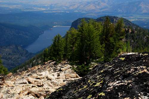
Lake Como, one of the lowest, most accessible, and certainly the largest of the man-made reservoirs in the Bitterroot Mountains, is a popular spot for boating and swimming, especially during hot summer weekends. Probably the most-photographed of the Bitterroot reservoirs because of its easy access
(you can drive right to the shoreline), I find Lake Como to be at its most photogenic when seen from above, high on a mountain or ridge.
Though most of the Bitterroot reservoirs are picturesque, for me the most inspiring water in the Bitterroots is found in the high lakes, tarns, streams, and falls – not designed by man but formed over time by natural forces.
Streams and Creeks
[ strēm ] - a course of running water, a narrow and shallow river or creek
[ krēk, krik ] - a stream, especially one that flows into a river
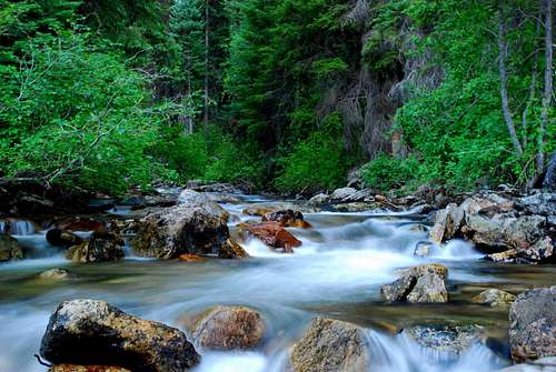
Boulder Creek
![Boulder Creek]()
|
|---|
|
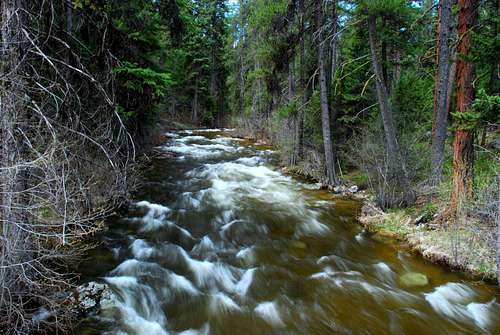
Tin Cup Creek
![Tin Cup Creek]()
|
|---|
|
Small Waterfalls
[ wât´ər•fàwl ] - a vertical stream of water that occurs where a river or stream falls over the edge of a steep place, a cascade
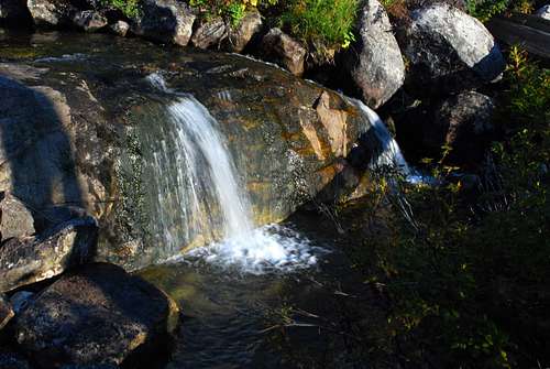
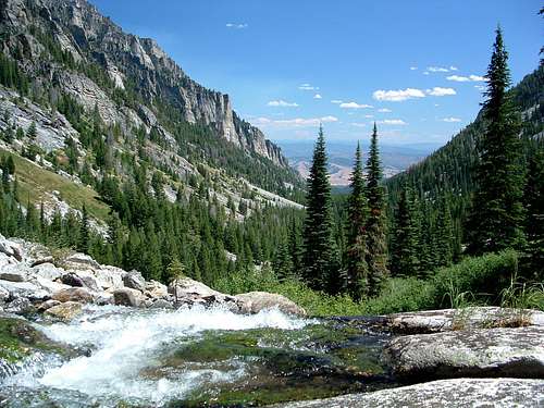
Small Falls on Blodgett Creek
![Blodgett Creek]()
|
|---|
|
Miniature Falls Between Two High Lakes
![High Lakes Falls]()
|
|---|
|
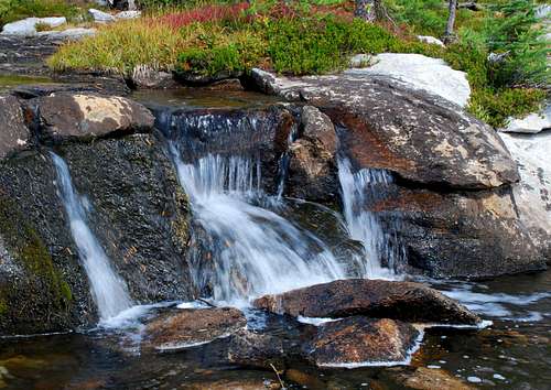
Chaffin Falls
![Chaffin Falls]()
|
|---|
|
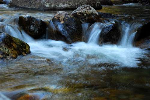
Multiple Mini-Falls on Boulder Creek
![Multiple Falls]()
|
|---|
|
Reservoirs and Lakes
[ réz´ər-vwär”] - an artificial lake used for collecting and storing water for human consumption or agricultural use
[ lāk ] - a large body of water surrounded by land
Upper Camas Lake
![Upper Camas Lake]()
|
|---|
|
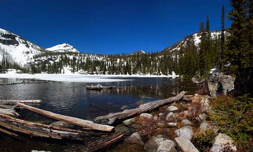
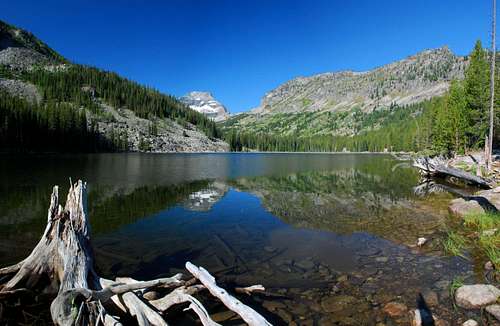
El Capitan from Little Rock Creek Lake
![Little Rock Creek Lake]()
|
|---|
|
Fish Lake from the "Beach"
![Fish Lake]()
|
Lake Como from the Summit of Point 8517
![Lake Como]()
|
|---|
|
Lost Horse Lake's Granite Shoreline
![Lost Horse Lake]()
|
|---|
|
Summits Above Canyon Lake
![Canyon Lake]()
|
Tarns
[ tärn ] - a small mountain lake or pool, especially one formed by the action of glaciers
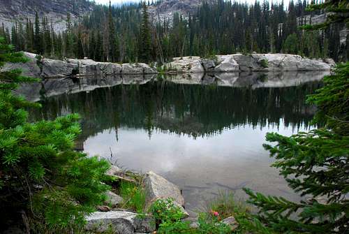
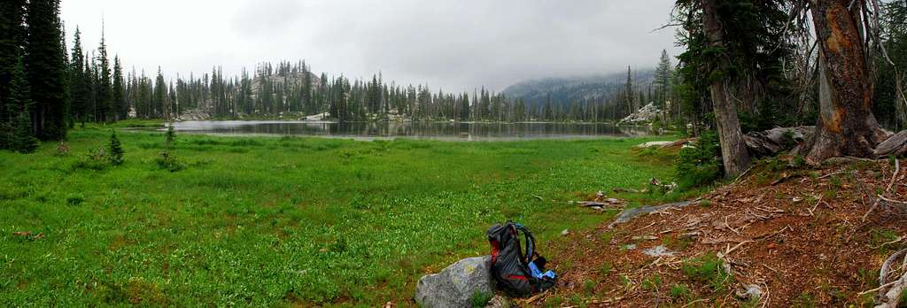
The Solitude of Hackney Lake
![Hackney Lake]()
|
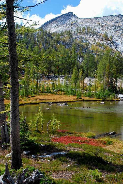
West Chaffin Peak Over High Lake
![High Lake]()
|
|---|
|
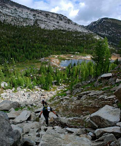
Climbing the Coulior Above Wyant Lake
![Wyant Lake]()
|
|---|
|
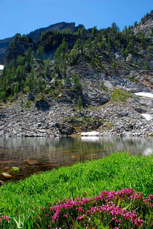
Tarn and Mountain Heather
![Tarn]()
|
|---|
|
El Capitan Above Tarn
![El Capitan]()
|





Comments
Post a Comment