

-
 3920 Hits
-
 79.04% Score
-
 10 Votes
|
|
List |
|---|---|
|
|
DEGREE OF DIFFICULTY
A L P I N I S M
- F= Easy
- PD= Slightly difficult
- AD= Rather difficult
- D= Difficult
H I K I N G
- T= Tourist – Itineraries on footpaths, mule tracks or wide paths. Don't present orienteering problems.
- E= Excursion route without technical difficulty – Itineraries on footpaths or trails on different ground types (grassy meadows, rocky ground). Orienteering capacity and good training to walk some hours are required.
- EE= Trekking routes for expert hikers – Sign-posted itineraries with some difficulties: slippery, grassy or rocky ground, rocky or snowy slope or easy climbing passage (use of hands necessary). Only for experienced mountain hikers with at secure step, a good feeling for balance. Physical training for 1-day walk required.
- EEA= Trekking routes for expert hikers with equipment – Equipped tracks or "vie ferrate". Technical equipment required.
Alpine REFUGES
Denomination: Rifugio CUNEY (Conca di Cuney)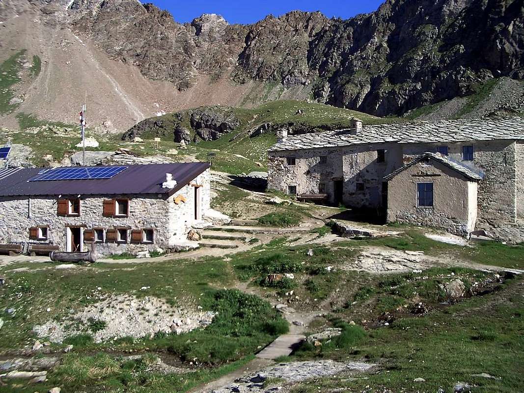
Route: From Aosta (583m) - Quart (535m) - Nus (529m) - Saint Barthélemy Valley - Lignan (1.633m) - Refuge (2.650m)
Time: 3h'30 - 4h'00 from Lignan (1.633m)
Difficulty: E
Opening period: half June - half September
Owner: Parrocchia di Saint Barthélemy
Keeper: Lombard Fabrizio, Frazione Lignan, Nus (Ao) tel. 0165 767304 - 3337131809
Refuge phone: 0165 770049
Places: 27
Local winter: places 15 always opens
Climbs and excursions: Becca di Fontaney (2.971m), Monte Pisonet (3.205m), Becca del Merlo (3.234m), Punta Montagnaya (3.050m), Colle Cuney (2.935m)
Internet: Rifugio CUNEY
Email: rifugiocuney@libero.it