
|
|
Mountain/Rock |
|---|---|
|
|
47.04029°N / 10.51235°E |
|
|
9865 ft / 3007 m |
|
|
Overview
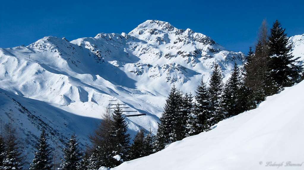
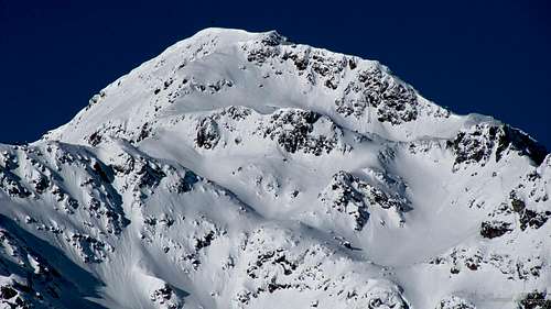
Furgler (3007m) SE-Face in winter
Furgler is the northernmost 3000-meter peak in the Samnaun Group. It is often referred to as the home mountain of the village of Serfaus (1427m). Furgler is 3007 meters high and therefore a popular objective for collectors of 3000-meter peaks. Furgler is mostly climbed from the east. This is because of the easy access from the village of Serfaus. A cablecar takes you up to 2300 meters to shorten the ascent. Furgler is an easy 3000 meter peak. There are two main routes up to its summit. Both routes are graded T3(+). Furgler has a very large summit cross (10 meters in height) which can be seen clearly from as far away as Komperdell.
 Furgler E-NE-Face (3007m) |  Hexensee with Furgler SW-Face |
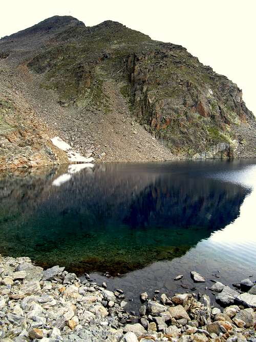
The first route starts at the end of the Lazid cableway (2300m) ,passes the Tieftalsee (a small lake) and goes over the south flank to the summit. The other route starts at the Komperdell (2000m) and goes over the east side of the mountain and includes passing the beautiful Furglersee, a small lake. A third option for climbing Furgler is from See in Paznauntal. This route is longer and less popular compared to the other routes from Serfaus. Furgler is a popular destination for many hikers who are staying in Serfaus or the surrounding area. Especially in the summer months with good weather, there are quite some people on the mountain.
Furgler is a great mountain to climb in a single day due to the presence of the Komperdell and Lazidbahn (cableway). Especially a round trip using one of the two main routes up and the other one down.
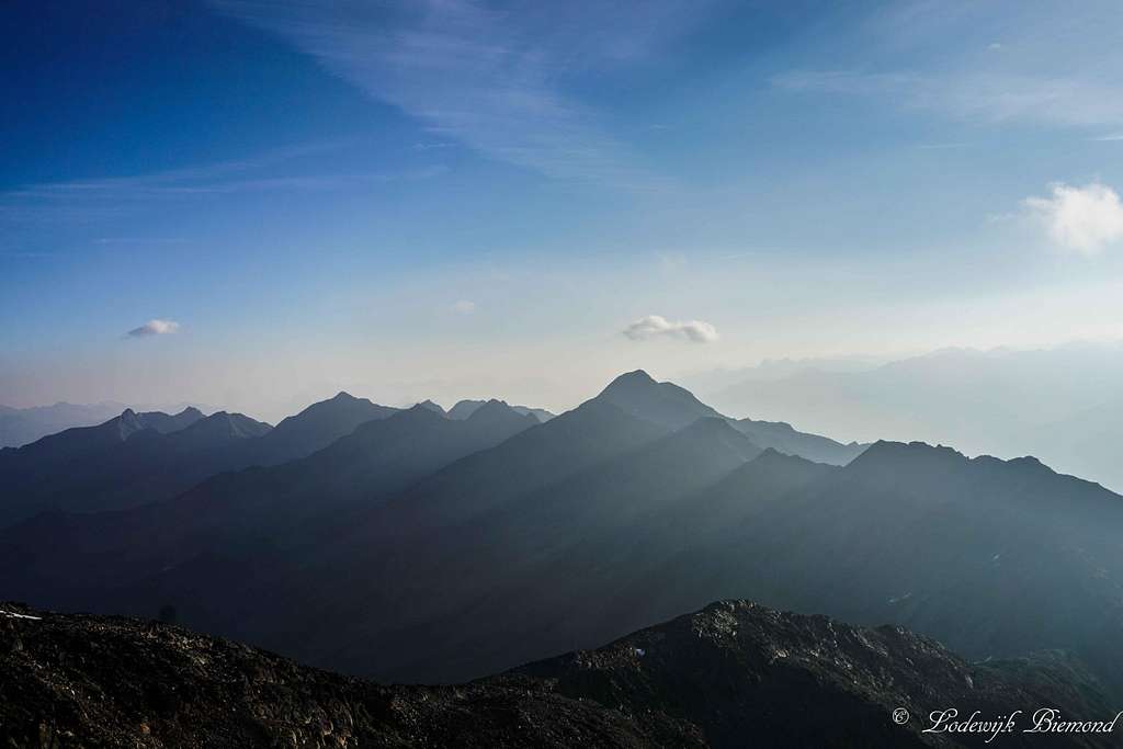
Views from the summit are excellent. You can see the whole Samnaun Group in the South. Towards the west you can see the Otztal Alps with peaks like Watzespitze, Rofelewand and Wildspitze. To the north you can see as far as Zugspitze in southern Germany.
 Beautiful Furglersee | 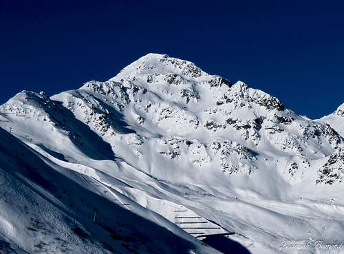 Furgler East Face (3007m) |
Routes Overview

Furgler Route MAP
Take the Komperdellbahn and the Lazidbahn to Lazid at 2300 meters. (starting from Serfaus)
From there follow the marked trail (712) towards the Scheid (2370m). You can recognize Scheid by the top station of a chairlift. Behind this station the trail becomes somewhat steeper but is well-marked by red-white-red stripes. You will eventually reach the Tieftalsee, a small mountain lake. Walk around the lake and ascent the final part to the summit of Furgler. The trail is visible at all times (T3)
See Map at left: Routes 712 and 25
Also see the SP Route Page for a detailed description of this route.
Route 2: Furglersee Route
Take the Komperdellbahn and the Lazidbahn to Lazid or only take the Komperdellbahn. From both points a marked trail (red-white-red) goes towards the Furglersee lake.
At the Furglersee follow the marked trail (red-white-red) to the summit of Furgler. The trail goes overthe East side of the mountain. Before the summit there is a small, but easy passage, secured by steel cables. (T3+)
See Map at left: Routes 02 and 21 (from Komperdell); 712, 25A and 21 (from Lazid)
Also see the SP Route Page for a detailed description of this route.
Route 3: From Paznauntal
From See in Paznauntal a marked trail, weitwanderweg 02, goes up all the way to the Furglerjoch at 2748 meters. At this point the trail joins hiking path numer 21 to the summit of furgler. This route is long and requires a full day of hiking.
Personal Experience:
The best combination to climb Furgler is to take the first route up and the second one down (Traverse Route). My (Dries) third time was the good one!! I had to turn back the other two times due to the weather (white out and a lot of rain and wind). I (Lodewijk) was more fortunate, I climbed the mountain 3 times and all in good and dry weather conditions. If this is the case it is an relatively easy tour (T3+),look out at the steep part secured with steel cables.
Places to stay
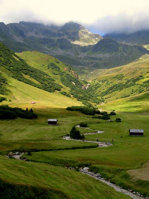
Furgler & Meandering River
Furgler (3007m) from Tieftalsee
Hotel
Staying in a hotel is the easiest option in Serfaus. Serfaus is a well-known Wintersport resort in Tirol and therefore holds a lot of hotels where you can stay during the summer. For hotels in Serfaus: check: Hotels
Camping
A campground in the Serfaus-area is camping Prutz. This campsite is situated in the village of Prutz, about 20 minutes (by car) away from Serfaus. The campsite lays along the beautiful river Inn and from this campsite you have a good starting position for hikings in Serfaus and many other places (like the Kaunertal) check: Camping Prutz
Find a place to stay
With the following link you can find a place to stay in Serfaus.
On the map you can see hotels, appartments etc.
You can also book directly online.
Find a place
How to get there

How to get There Map
Serfaus
When to climb
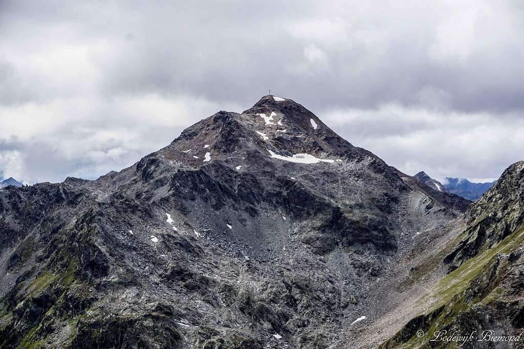
Furgler (3007m) Close Up
Furgler South Face (3007m)
Maps & Books
Kummerleyand Frey – Ischgl & Serfaus - 1:35.000 - ISBN 9783259007136
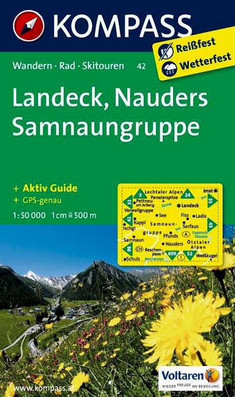
Kompass 42- Landeck Nauders Samnaun Group – 1:50.000 - ISBN 9783850265423
 |  |
External Links
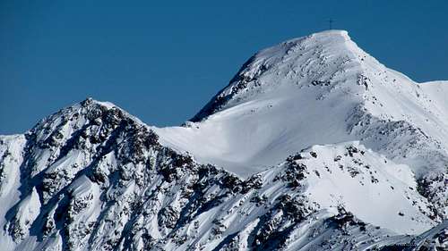
Furgler (3007m) as seen from Hexenkopf (3035m)
Bergfex Weather Fiss and Serfaus
Accomodation in Serfaus
Local Weather forecast & Webcam click HERE
Weather
360º Annotated Summit Panorama
  Furgler 360º Annotated Summit Panorama by Mathias Zehring |
Panorama with Furgler
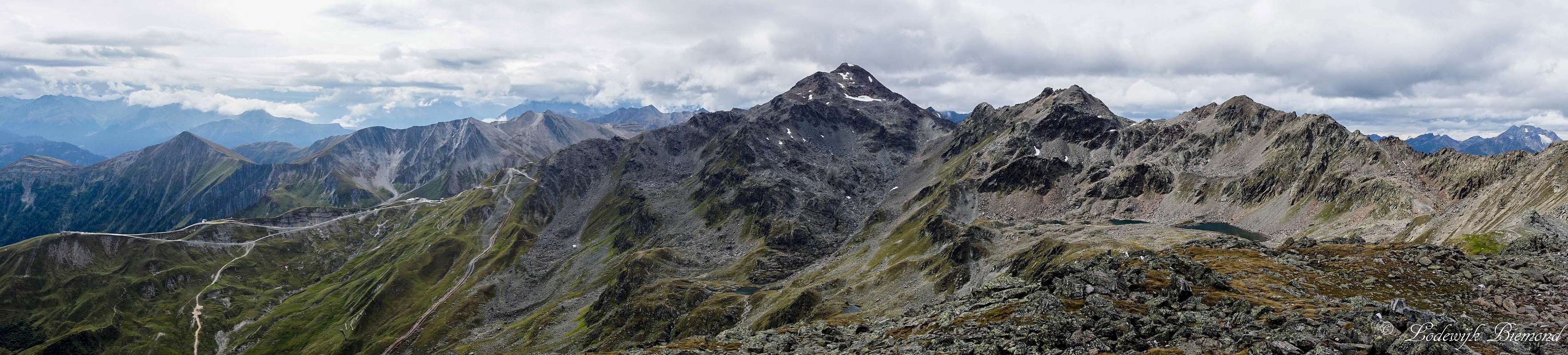 Furgler Panorama as seen from Planskopf (2804m) Left of Furgler is Pezid (2770m) and right of it is Kleiner Furgler (2897m) |