
-
 3922 Hits
-
 72.08% Score
-
 2 Votes
|
|
Route |
|---|---|
|
|
46.64630°N / 12.84470°E |
|
|
Hike |
|
|
Half a day |
|
|
Walk-Up |
|
|
Approach
See the main page for the itineraries to the hamlet of Nostra.Route Description
- Start altitude: 1038m
- Summit altitude: 2162m
- Prevailing exposition: W
- Type: 2h over forest roads. 1h 30min over paths
- Protection: marked
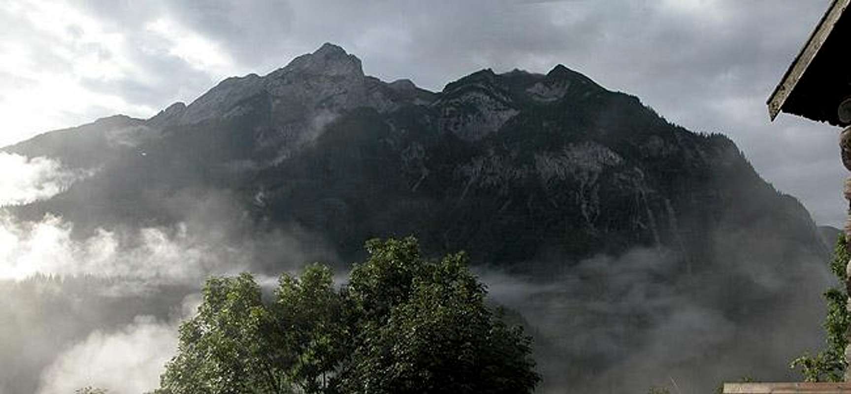
To be true the data above refer to the ascent from Nostra. Usually you can reach the ridge from the "Karnischer Höhenweg" Trekking Trail in about 30min. Many people actually do this - they make a trekking break to enjoy the "faraway" views from Säbelspitz. Since the trekking trail uses the ridge or runs along north of it the views of the Carnic Alps themselves are limited.
Follow the Wolayer Tal Valley southward until you reach the Hubertus Chapel. You could also take the car to this chapel. From the chapel the road starts to climb in the direction of Wolayer See and after soem serpentines you'll reach the upper Wolayer Alm. Here turn sharply north-west and follow trail No 03, the "Karnischer Höhenweg" Trekking Trail. It climbs steeply to Giramondopass were you find leftovers from WW I: 90 year old trenches.
In the pass take trail No. 440 northward which will take you to Säbelspitz and from there on along the whole ridge towards Stallonkofel and Runseck.
 |  |  |  |