|
|
Mountain/Rock |
|---|---|
|
|
49.07207°N / 22.76882°E |
|
|
Hiking, Skiing |
|
|
Spring, Summer, Fall, Winter |
|
|
4373 ft / 1333 m |
|
|
Overview
|
||
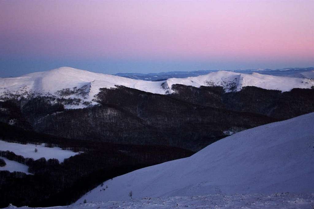
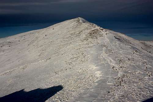
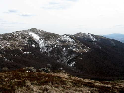
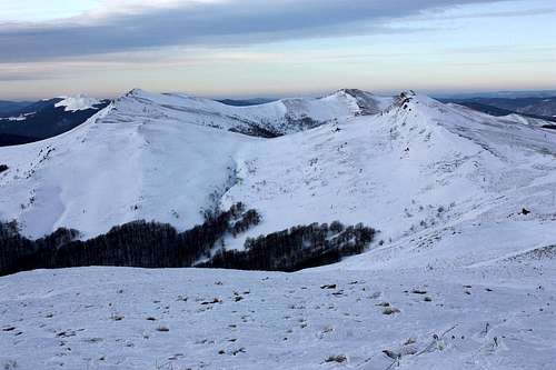
| Halicz, at 1333m belongs in the eastern part of the Tarnica-Halicz Group (see map above right), and is the third highest peak in the Western Bieszczady. Once it was known, like many other Carpathian summits in Poland, as Patryja, which meant a good viewpoint. The name Mytrowe Rohy was also used. For centuries, until the end of World War II, in summertime the green slopes of Halicz were home to huge herds of oxen (nearly two thousand counted in 1913!). | ||
|
||
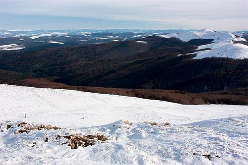
| The summit of Halicz is one of the best, if not the very best, vantage points in the Western Bieszczady. It offers better views towards the Ukrainian Carpathians than Tarnica. | ||
|
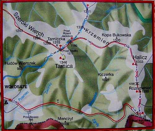
Getting There & Routes

W slopes

On summit
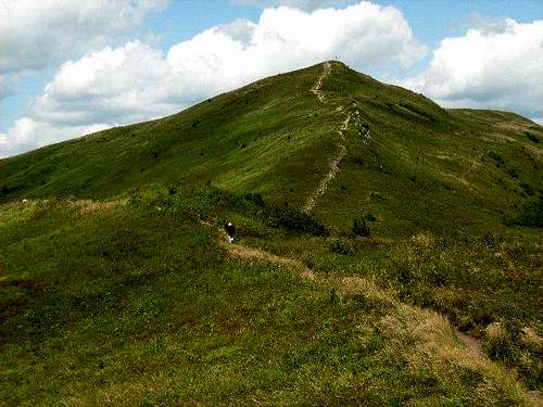
The summit can only be reached via the red trail, from the following two directions:
1. From the saddle below Tarnica, where there is an intersection of the marked trails. This takes almost 1.5 hours. (The saddle below Tarnica can be reached via blue marks from Wołosate or via red marks from Ustrzyki Górne.) The trail, at first joined by the blue trail, descends rather steeply from the saddle. After about 20 minutes the blue trail turns left, to run over Krzemień and Bukowe Berdo to Pszczeliny (about 4 hours away). The red trail skirts the ridge of Krzemień and then Kopa Bukowska to finally ascend Halicz.
2. From Wołosate via Przełęcz (Pass) Bukowska. The hike should not take more than three hours.Please see here.
A hike in the middle of the summer may not be a good idea as the trail often gets packed with tourists. However, it may not be so bad, at least until you reach the summit, if you start early and choose the trail via Przełęcz Bukowska.
| Trailhead | Marks | Time of walk up (hours) | Totel elevation gain (meters) | Remarks |
Maps
 |
For more information please see the parent page.
Red Tape & Camping

Summit cross

Bukowska Pass
As most of the Bieszczady National Park area (70%) has the status of a strictly protected zone, public access is only allowed via a system of waymarked tourist trails. Standard national park rules apply, like staying on the marked routes, not disturbing wildlife etc. The nearest campsite is at Wołosate.
An entry fee (nearly 2 euros in 2022) is charged.
Accommodation