
|
|
Route |
|---|---|
|
|
42.80450°N / 88.6256°W |
|
|
Hiking |
|
|
Spring, Summer, Fall, Winter |
|
|
A few days |
|
|
Hike |
|
|
Ice Age Trail
Wisconsin’s Ice Age Trail is said to be 1200 miles long. As of this writing, more than 600 discontinuous miles of the trail exists while the rest is yet to be established. The trail supposedly follows a path marking the southern edge of the last continental glacier that covered Wisconsin 12000 years ago. The eastern terminus of the trail is in Potawatomi State Park on Lake Michigan’s Green Bay. From there, the trail heads generally southwest to reach its southernmost spot in the city of Janesville where it turns mostly north and west to end at Interstate State Park on St. Croix River on the border with Minnesota.
See the Official site for Ice Age Trail
https://www.iceagetrail.org/ice-age-trail/
See an interactive map of the trail
https://iceagetrail.maps.arcgis.com/apps/webappviewer/index.html?id=5ff8f517b1e34d46bb70ed21b36286c6
Kettle Moraine South
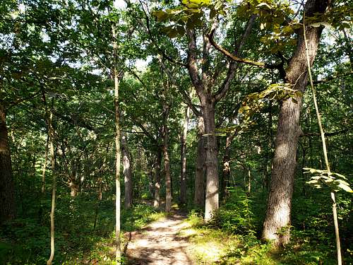
Kettle Moraine South refers to a 33.6 continuous miles of trail in an area between and to the south of the cities of Madison and Milwaukee as shown on the map below. Except for some areas of highway noise and road crossings, much of the rest of the trail is far enough from civilization to give you a sense of being in the wilderness. Minimum elevation from sea level is 845 ft and maximum elevation is 1090 ft. I did the trail as 6 different roundtrip day hikes with a few side branches bringing the roundtrip hike to 68.5 miles as noted on the map below. Due to many small ups and downs, the roundtrip total elevation gain came out to an impressive 7050 ft per my GPS.
Below you will find a description of my roundtrip day hikes southeast to northwest. The trail is continuous and the sections mentioned below are arbitrary.
Route Description
Section 1 (Black Line on my map)
Length=4.5 miles one way
Elevation Range=865-1040 ft
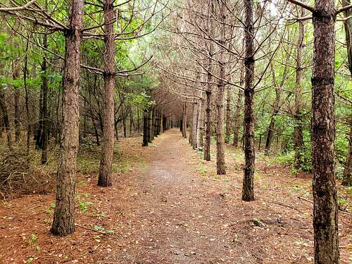
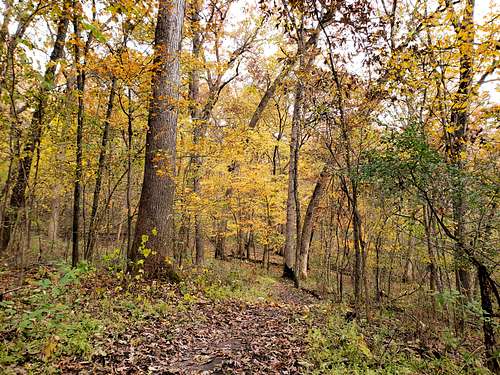
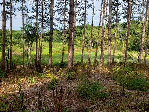
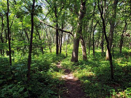
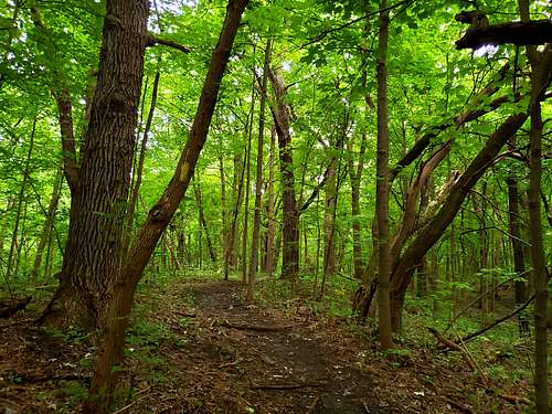
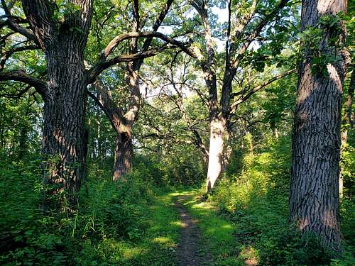
The southeastern terminus of the trail is on Clover Valley Road near Rice Lake. A more scenic option is to start at Rice Lake itself and follow a short spur trail to reach Ice Age Trail as shown on the map above. The trail heads northwest going behind Whitewater Lake Campground climbing 150 ft in the forest. After about a mile, the trail descends 100 ft and crosses Highway P and then Esterly Road before going into a forest of planted pine trees in parallel rows (such pine forests in Wisconsin were apparently planted in the early 1900s as part of a reforestation plan). The trail then enters a deciduous forest on hilly terrain continuing northwest to reach the busy and loud Route 12. A trailhead with a big parking lot can be found on the north side of Rote 12.
|
|
|
|
Section 2 (Green Line on my map)
Length=4.5 miles one way
Elevation Range=855-1010 ft
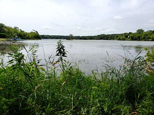
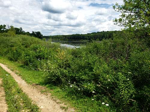
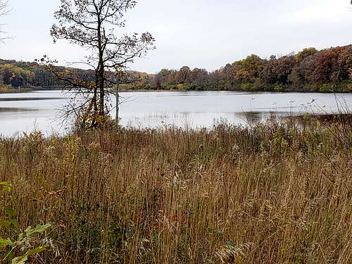
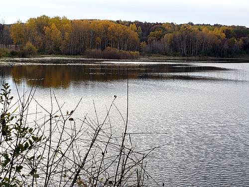
From the parking lot on the north side of Route 12, the trail follows a path close to the western and then the northern shoreline of Lake La Grange before heading south to enter a forest (a shortcut on the east side of the lake can bring you to the same spot as shown on the map). After entering the forest, the trail goes up more than 100 ft heading west (with many twists and turns) in hilly terrain to reach the quite country road named Duffin Road.
|
|
|
|
Section 3 (Blue Line on my map)
Length=6.5 miles one way
Elevation Range=865-1040 ft
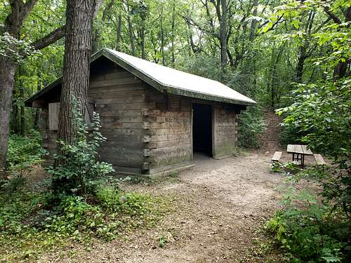
From Duffin Road, the trail heads northwest and soon reaches a short spur trail that goes 50 vertical feet uphill to reach Shelter #3, one of three shelters on Kettle Moraine South section of Ice Age Trail (The shelters are one room cabins without a door).
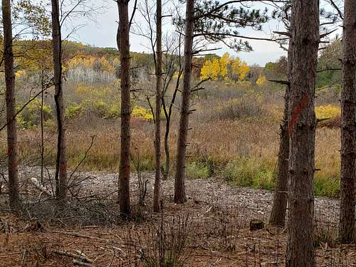
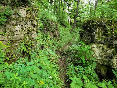
A short distance up the main trail, you will see another spur trail to the east to reach Pioneer Lime Kiln Ruins (I went on that trail but saw nothing. Later realized that there was probably nothing left but a pile of rocks on the ground) and another spur trail to the west to reach Oleson Historic Log Cabin. The main trail then enters a planted forest of pine trees in parallel rows.
|
|
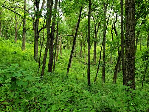
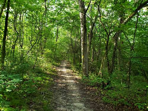
After crossing Bluff Road and the busy noisy Highway H, the trail gets into a deciduous forest and climbs 100 vertical ft heading north parallel to the noisy highway.
The trail then descends, crosses Young Road and then climbs 150 vertical feet to reach a view point.
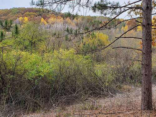
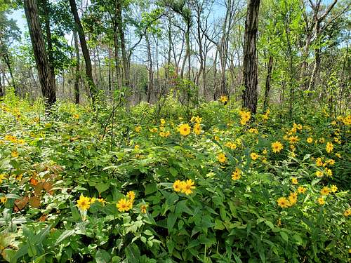
Beyond the view point, the trail continue west in a dense deciduous forest going up and down getting away from the noise of Highway H.
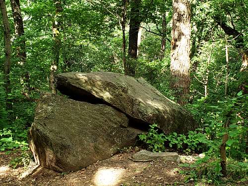
A spur trail take you a rock named Stone Elephant. I could not see an elephant.
After crossing Tamarck Road, the trail reaches Little Prairie Road.
Section 4 (Purple Line on my map)
Length=6.3 mile one way
Elevation Range=845-1030 ft
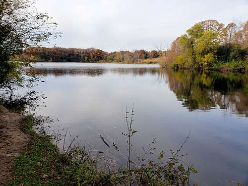
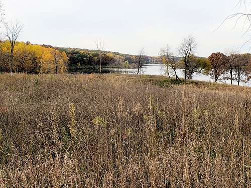
From Little Prairie Road, the trail goes into a forest, crossing Horseriders Campground, goes around a small pond and then continues west in the forest.
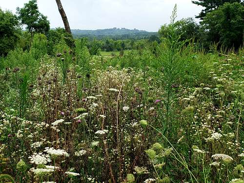
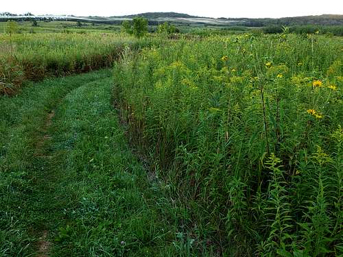
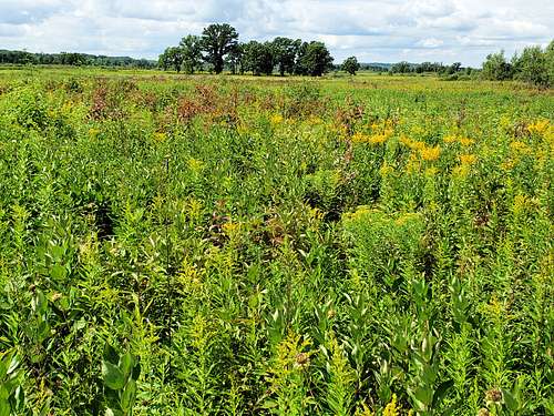
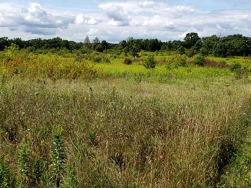
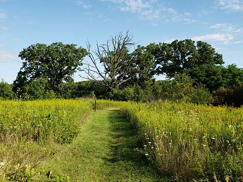
After crossing County Road Z, the trail enters a beautiful meadow and continues west for a mile or so until it enters the forest again, crosses railroad tracks and reaches County Road S (Shelter #2 is somewhere between Roads Z and S. I did not go there).
|
|
|
|
Section 5 (Orange Line on my map)
Length=6.8 miles one way
Elevation Range=845-990 ft
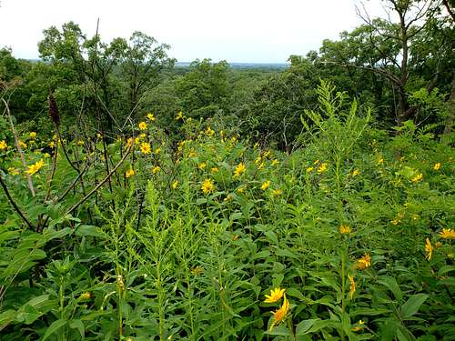
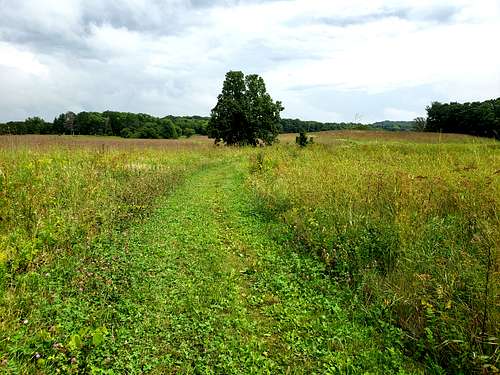
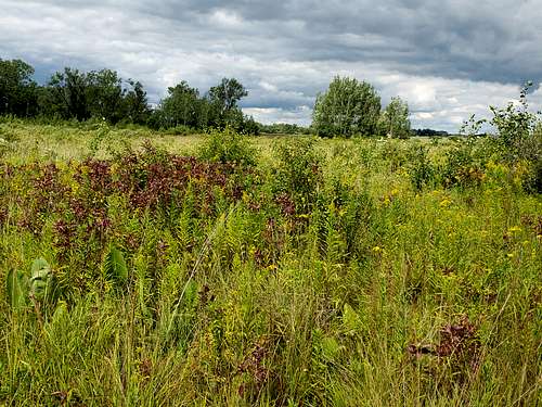
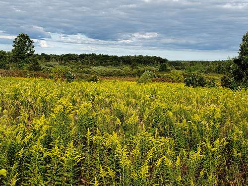
The trail follows County Road Z 1000 ft north, turns west to follow Antique Lane, then crosses to the north side of the busy/noisy Route 59 going on a dirt road 2000 ft north to reach a trailhead. You will then get onto a beautiful meadow with tall grass heading north and west away from the noise of the highways, crossing County Road N and Wilton Road.
|
|
|
|
|
|
A spur trail takes you to Brady’s Rocks named after an Irish Immigrant who settled there in the 1850s.
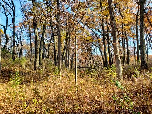
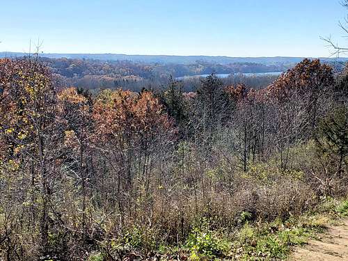
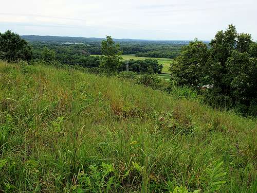
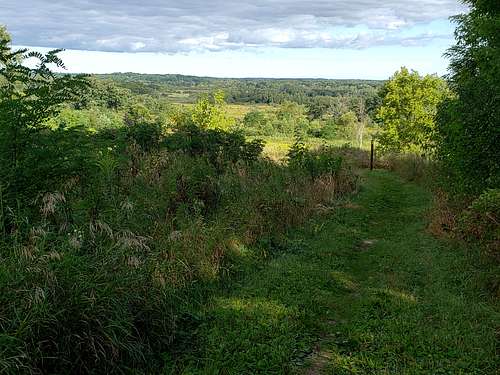
The trail will unfortunately be plagued by the noise of the nearby Highway 67 for the next 2 miles. It goes up a slope to a high point with views north (A spur trail took me to an official View Point but vegetation obstructed all view, maybe you get views in winter).
Going down north of the high point.
|
|
The trail then enters a forest and reaches a trailhead/parking lot off of Route 67.
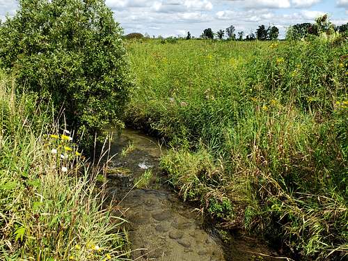
Continuing north, the trail crosses Route 67 where a spur trail goes up 100 vertical feet to Reach Shelter #1. Another short spur trail goes down to reach a stream near Route 67. You will then reach Piper Road where highway noise has mostly faded away.
Section 6 (Yellow Line on my map)
Length=5.0 miles one way
Elevation range=900-1090 ft
From Piper Road, the trail continues north in the forest going up 150 vertical feet then descending to cross County Road ZZ.
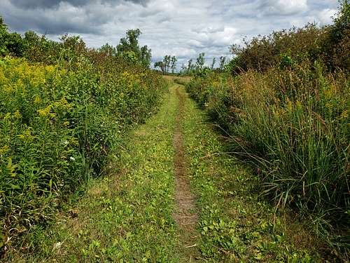
North of County Road ZZ, the trail enters a pine forest and goes west for a short time, then turns north onto a very hilly terrain with many ups and downs through a deciduous forest.
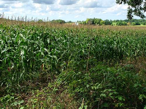
Back to a planted parallel rows pine forest, the trail crosses Pinewoods Campgrounds and ultimately reaches the edge of a corn field heading east to reach County Road C.
Getting There and Red Tape
The trail described here crosses 20 different roads/parking areas as shown on the map. Parking at official parking areas will require self pay or a Wisconsin DNR Trail Pass. Parking on the sides of quiet country roads does not require a fee. Neither do day hikes. Overnight camping does require permits. See the link to official website above for all rules and regulations.