
-
 47011 Hits
-
 86.84% Score
-
 23 Votes
|
|
Mountain/Rock |
|---|---|
|
|
36.56150°N / 105.446°W |
|
|
12481 ft / 3804 m |
|
|
Overview
Kachina Peak is a picturesque mountain located in the Wheeler Wildeness Area of the Sangre de Cristo Range. It is best known as the summit of Taos Ski Valley. This peak is most often climbed during ski season when powder seekers can hike from the top of lift # 5 via Highline Ridge. This peak is not crowded during hiking season due to it's close proximity to Wheeler Peak. The ski area makes Kachina Peak easily accessible, but above timberline this mountain becomes quite challenging. The route along the ski area boundry is class 3+ climbing to the summit.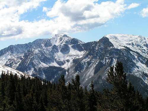
Kachina Peak and Lake Fork Peak
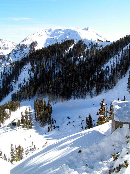
Kachina Peak
 |  |  |  |  |
 |  |  |

Getting There
From Taos, New Mexico: Drive four miles north on New Mexico (NM) state road #522. At about four miles, and at the first traffic light out of town, turn right (east) on NM 150 and drive for 15 miles until reaching the Taos Ski Valley ski area. As you arrive at the ski resort a huge "Taos Ski Valley" sign will greet you. Here the road forks. Stay left. Thanks to Alan Ellis for these directions.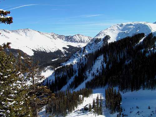
 |  |  |  |  |
Red Tape
Kachina Peak is located in the Wheeler Wilderness Area, so wilderness rules apply.The area is open for skiing usually between late November and early April. You will not be able to climb through the ski area during this time.
When To Climb
It is best to climb this mountain from late spring to early fall, depending on snowpack on the peak.Camping and Lodging
Camping is allowed in the wilderness area, but not on the ski area. There are also several campgrounds on NM 150.There is ample lodging in Taos Ski Valley and also in Taos.
Here are some useful linls:
outdoor recreation
Taos Chamber of Commerce
Carson National Forest
Taos Vacation Rentals
Mountain Conditions
Taos Mountain Web CamTaos Weather
Alex Wood - Nov 12, 2014 1:45 am - Voted 10/10
Lift to the SummitHeads up..there is now a ski lift to the summit of Kachina Peak