

Viewing: 1-2 of 2

lcarreau - Jun 7, 2008 9:26 pm - Voted 10/10
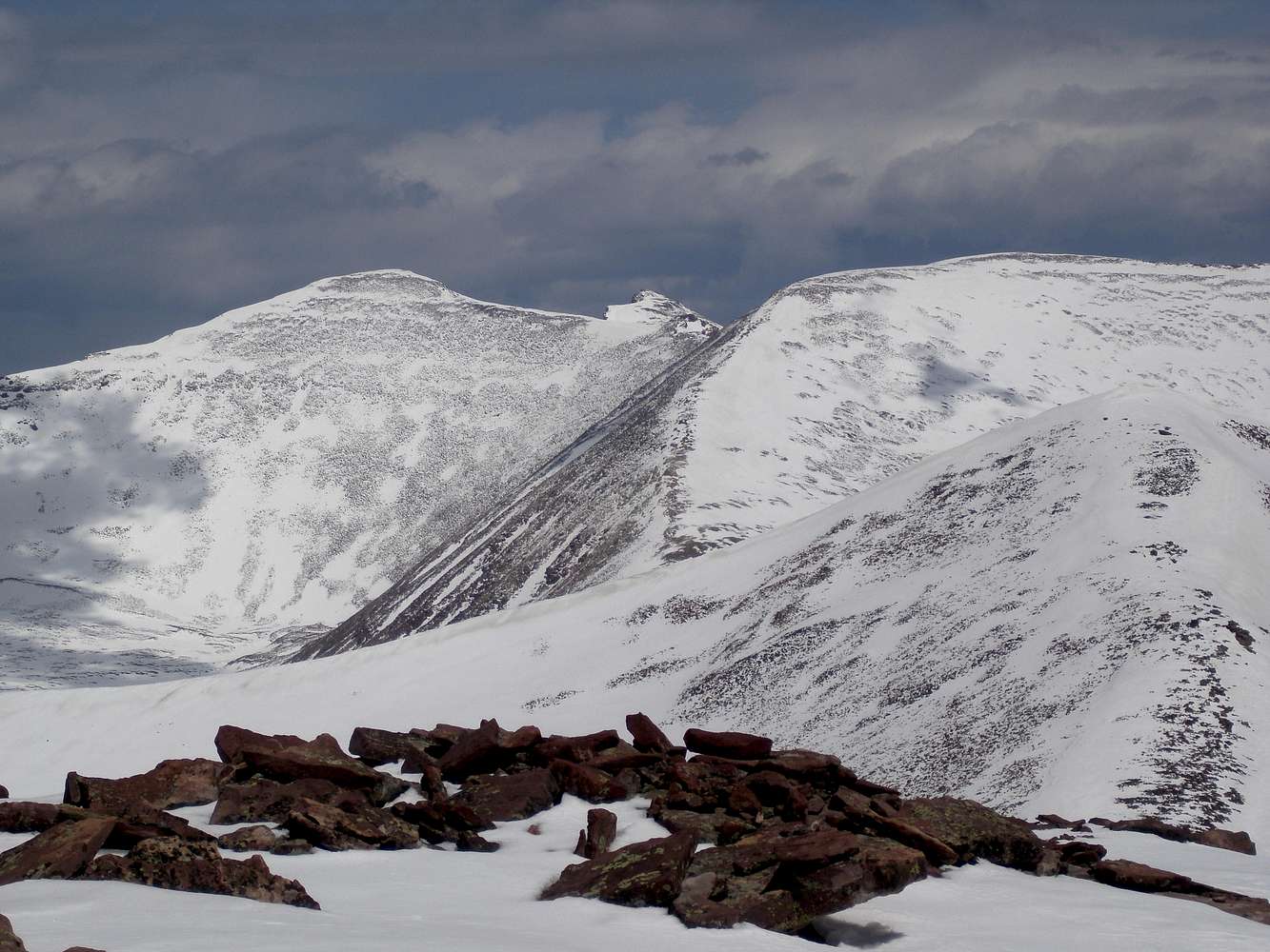
From this beautifulphoto of yours, I'm asking myself:
Why do so many people come up from
the Henrys Fork Basin side? Can a
person get to Kings from here? How
many more miles to the summit of Kings?

ZeeJay - Jun 7, 2008 10:46 pm - Hasn't voted
Re: From this beautifulFrom N Timothy Peak, following the ridge and traversing around some of the summits, it would be another 4 miles of rough hiking to Kings Peak and another 2000 feet to gain, more if you went to the tops of everything. A more reasonable way that avoids Henrys Fork might be to start at the Swift Creek TH and take the Yellowstone Trail to Anderson Pass and then take the ridge to Kings. However, this would be about 18.5 miles one way, much longer than the Henrys Fork way.
Viewing: 1-2 of 2


Comments
Post a Comment