
|
|
Mountain/Rock |
|---|---|
|
|
36.05921°N / 51.47363°E |
|
|
Tehran |
|
|
Hiking, Mountaineering |
|
|
Spring, Summer, Fall, Winter |
|
|
12303 ft / 3750 m |
|
|
Overview
Koloon Bastak glacier (Daryook glacier) is a rock glacier on the north face of Mt. Koloon Bastak in the northern part of the province of Tehran. The easy access to Mt. Koloon Bastak makes it one of the most popular and most crowded 4000m peaks of the Alborz range.
The fact that you can drive up to the elevation of 3400m to start your hike, makes your hiking trip to the summit very short. It takes you only about 2 hours to get to the summit of Koloonbastak from where you park your car. You can usually park your car at a parking lot next to a transmitter station (Mokhaberat station) at 3400m. If you go on Friday there is a chance that the parking lot is full. In that case you will have to park your car at the upper parking lot of the Dizin ski resort at 3250m.
Koloonbastak glacier may not be noticeable in fall, winter and spring because the area is covered with snow. However, in the summer you can clearly see it. In 2014/2015 the Alborz range experienced a new record low snowfall, and the fact that the summer was very hot, it makes the snow cover unbelievably low.
The top of the glacier is at 3750m and the bottom of the glacier is at 3650m. There is a lake at the bottom of the glacier called Daryook lake (Koloon Bastak lake).
Here are some pictures I took on my way to this place:
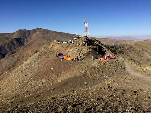
The starting point
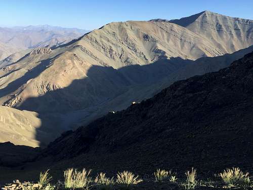
Mt. Sehchal
Mt. Koloon Bastak
Mt. Koloon Bastak
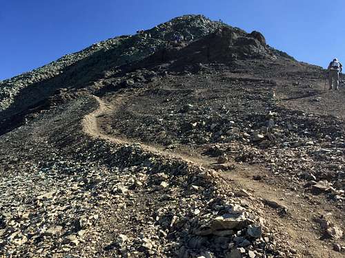
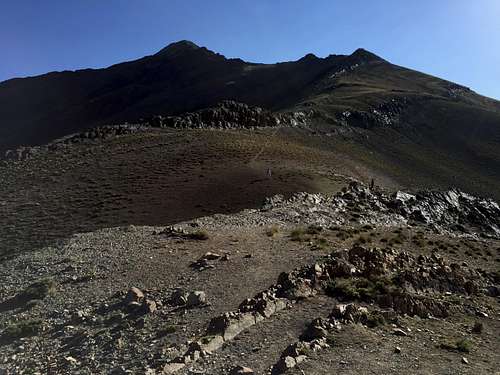
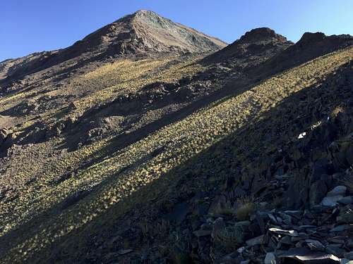
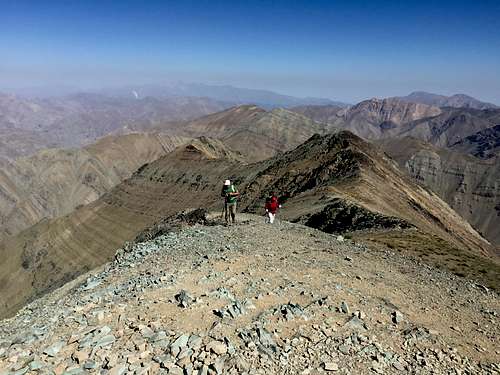
The summit
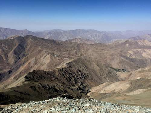
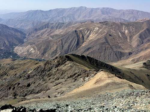
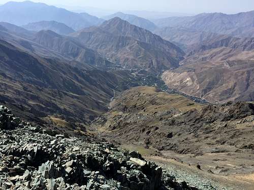
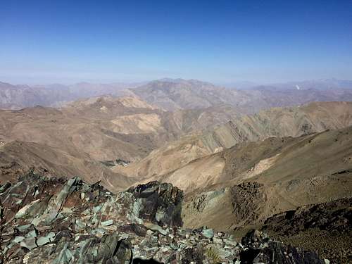
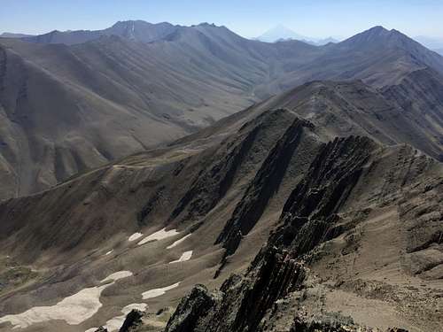
Here are some photos from the summit of Mt. Koloon Bastak:
Dizin ski area
Mt. Tochal
Mt. Mehrchal and Mt. Abak
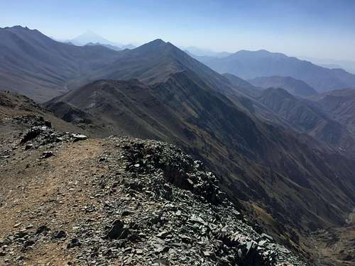 Mt. Damavand and Mt. Sarakchal
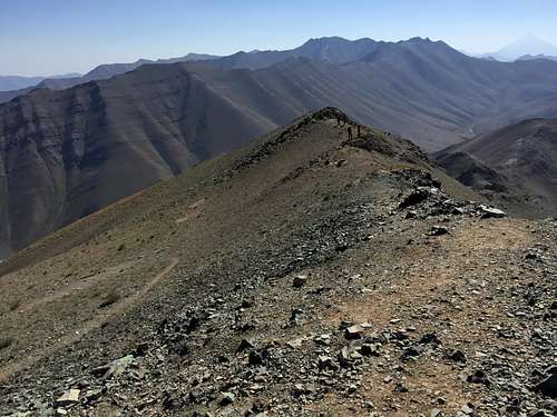
Kholeno massif
Azad kooh and Kaman kooh
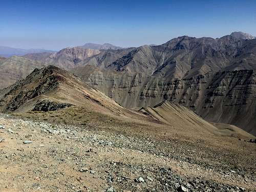
Sorkhab and Varvasht
Alamkooh massif
Garchan and Haftkhan
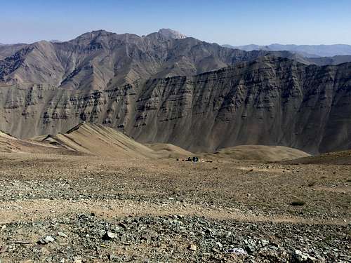
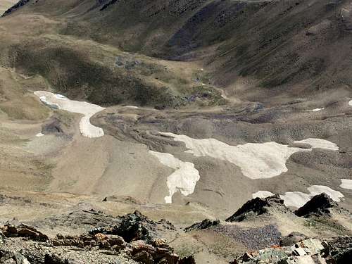
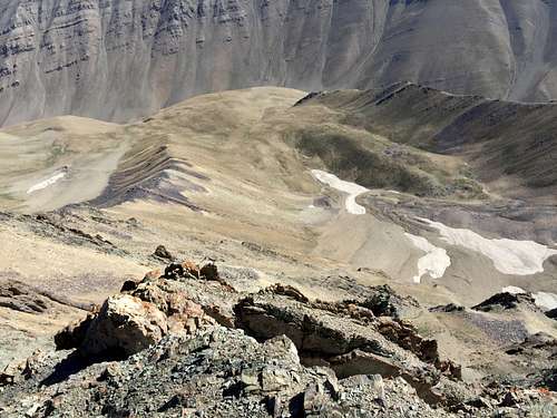
From the summit of Mt. Koloon Bastak you can hike down to the ENE, and after about 300m you can see a rock glacier called Daryook or Koloon Bastak glacier. Here are some photos:
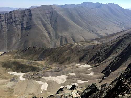
Daryook glacier
Damavand and Daryook glacier
Daryook lake
another view
hgrapid - Aug 30, 2015 1:25 am - Hasn't voted
Coordinates are offThe interactive map shows your mountain in the middle of the Atlantic Ocean. You may want to revise the coordinates.
kamran - Aug 30, 2015 8:03 am - Hasn't voted
Re: Coordinates are offThanks. I fixed it. The difference was a negative sign for the longitude.