|
|
Mountain/Rock |
|---|---|
|
|
60.80226°N / 148.74776°W |
|
|
Anchorage |
|
|
Mountaineering |
|
|
4050 ft / 1234 m |
|
|
Overview
This is a challenging climb for anyone spending a day in Whittier, AK and I climbed it in June, 2013 while waiting for a 7 day southbound Princess cruise to begin. The hike/climb is approximately 9 ½ miles roundtrip and gains about 4,000’. I climbed it the end of June and would expect that ice ax and crampons are going to be needed year around for this mountain. Once you ascend the initial steep slopes near Portage Pass, you can expect to be using crampons for several miles as you hike along the ridgetop toward the summit.Route
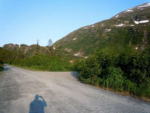
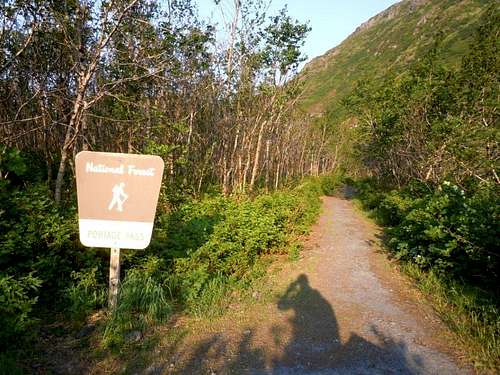
Getting to Whittier is perhaps the main challenge! I spent 20 hours there during a cruise port call. If you are approaching from the Anchorage side, there is a choice between rail or highway and since both share the same tunnel, scheduling is a requirement both ways.There is a sidewalk that runs along West Camp Road heading west toward the Anton Anderson Memorial Tunnel/Portage Glacier Hwy from the pier. Hike about 1 mile until you reach the first gravel road on your left. Turn onto that road and proceed to the next turnoff on your right which should have a sign that points toward the Portage Pass trailhead. The trailhead is by the end of this road and also has a sign indicating the trail is going to Portage Pass.
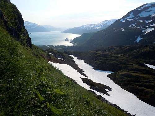
Follow the Portage Pass trail for about 2/3 mile which is the vicinity of the pass and then look for an acceptable route on your right to climb up the steep hillside (~60 degrees). This is probably the most difficult portion of the climb, especially on the down climb. Try to keep your location noted and look for several cairns along the way which may be an aid.
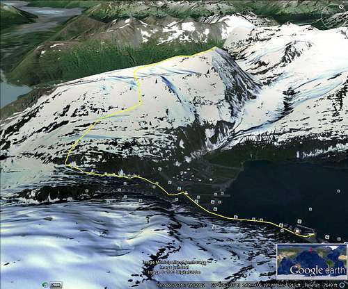
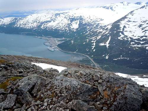
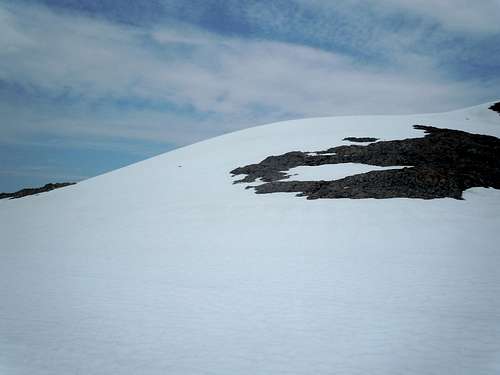
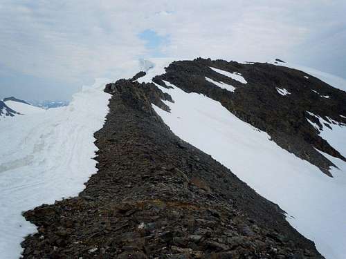
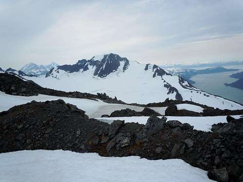
Once you climb a couple thousand feet you will probably run into snowfields which can be used to ascend most of the way to the summit if you follow the basic route I traced on Google Earth. Exercise caution along the ridge line as there were numerous cornices along the north side of the ridge. The hike along the ridge is otherwise non-technical and very enjoyable.


McCannster - Jul 6, 2013 1:27 pm - Voted 9/10
Title correctionShould be 'Maynard Mountain', instead of 'Mount Maynard'. Looks like a cool peak. I'd suggest cleaning up the formatting a little bit on the page, and I'll up my vote. -David
jimegan - Jul 6, 2013 2:12 pm - Hasn't voted
Re: Title correctionThanks for keeping me on course, more or less!!