
-
 11488 Hits
-
 86.31% Score
-
 22 Votes
|
|
Mountain/Rock |
|---|---|
|
|
61.00566°N / 149.32394°W |
|
|
Hiking, Mixed, Scrambling |
|
|
Summer, Fall |
|
|
5030 ft / 1533 m |
|
|
Overview
Nest Peak is a relatively little-known Western Chugach summit offering a rewarding day’s ramble in lonely and spectacular country. The summit register shows only one or two entries per year.
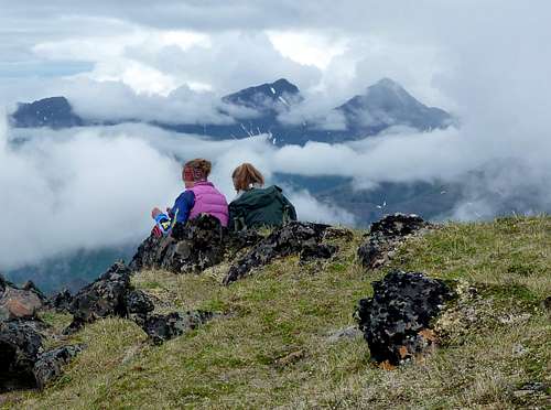
It provides wonderful views into a remote sector of the park, as well as a magnificent grandstand for its better-known and more arduous neighbor, Bird Peak, from which it is separated by a 1000-foot-deep col. Requiring 7 to 12 hours for a round-trip from the trailhead, Nest Peak is quite manageable in a summer day.
Click, then click again to enlarge
Getting There
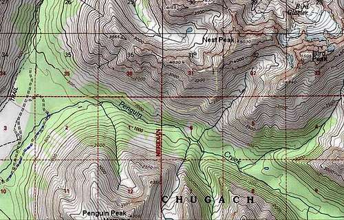
The trailhead is located about 25 miles south of Anchorage along Turnagain Arm. Proceed to Mile 100.5 of the Seward Highway (Alaska Highway 1) and turn left on Konikson Road. Drive this 0.6 miles to the ample trailhead parking at its terminus. This is the same trailhead as for Penguin Peak.Regular Route
The trailhead elevation is approximately 100 feet, so you will be climbing virtually all of Nest's 5030-foot height. Hike north on a wide, gated dirt road, staying on this past the Penguin Peak turnoff and past various ATV tracks. After about a mile you cross Penguin Creek on a vehicle bridge. Immediately bear right onto the Penguin Creek Trail, which initially is a broad ATV track. The junction is currently marked. Follow the ATV trail two miles to its end at about the 1000-foot elevation (bearing right at another junction). The end of the ATV trail is several hundred vertical feet above (and north of) Penguin Creek.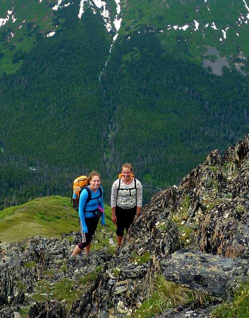
Ascending the upper slopes of the southwest ridge from Penguin Creek
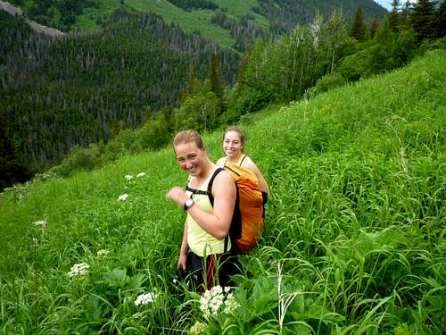
Directly ahead, a trail of use leads further up the slope. It quickly emerges from the trees and begins a generally ascending traverse to the eastward across the brush and tall grass just above treeline. Leave this trail when the time seems right and hike up-slope to the southwest ridge of Nest Peak. This can be done on any of several avalanche chutes, or you can wait till the trail ends after about three quarters of a mile and ascend via the indistinct corner between the Penguin Creek Valley and the first side valley on its northern flank. Once on the 4000-foot ridge, pleasant walking along a broad crest with expansive views lifts you gently to the 5030-foot summit.
Swatting flies on the traversing trail above Penguin Creek
Other Routes
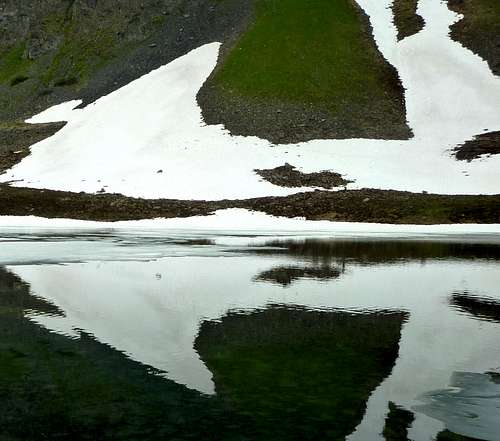
The valley due west of the summit is a beautiful spot with two nice tarns, and going between the tarns and the top of Nest involves easy class 3 scrambling or 40-degree snow. The lower stretch of this valley has no game trail, however, and it does not really offer a viable bushwhacking route to link to the Bird Creek Trail.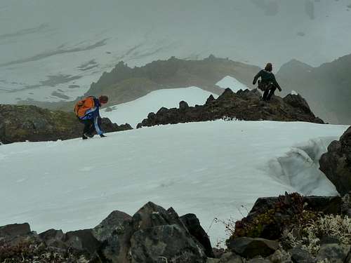
Descending the west face toward the tarns, June
The north ridge from Point 4370 seems to be class 3. There appears to be a viable scramble route from the Bird Peak-Nest Peak col as well, but I have not done it. To traverse all the way to or from Bird Peak is fifth class.

West face from the larger tarn
Camping
In the cirque west of Nest Peak
Nest Peak does not lend itself to a backpacking trip, although the tarns to its west offer excellent campsites if you have the energy to reach them. No permits are required, except for camping by large groups. Campfires are not allowed in this area of the backcountry.
There is car camping near the trailhead at Bird Creek Campground, described here.
Red Tape
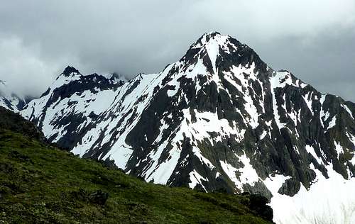
Bird Peak's impressive summit as seen from the top of Nest
The Bird Creek trailhead has a $5 parking fee if you do not have an annual Chugach State Park pass.
External Links
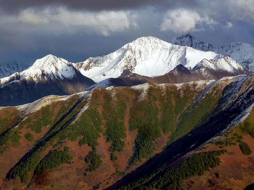
The west face of Nest Peak (sunlit, upper right center) as seen from Indianhouse Mountain in early October, 2010
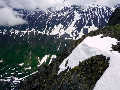
North from the summit toward Rubbletop Mountain
Chugach State Park
Article on Bird Creek Area