
-
 28700 Hits
-
 85.86% Score
-
 21 Votes
|
|
Mountain/Rock |
|---|---|
|
|
42.25820°N / 123.6618°W |
|
|
Josephine |
|
|
Hiking |
|
|
Spring, Summer, Fall, Winter |
|
|
4001 ft / 1220 m |
|
|
Overview


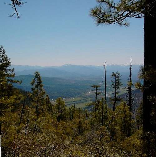
8$ is one of the 73 peaks in Oregon with at least 2,000 ft of prominence. It ranks #33 on the list with 2,521 ft of prominence. 8$ Mtn is bordered on the west by the Wild and Scenic Illinois River, on the north by Deer Creek, on the east by Hwy 199 (Redwood Highway), and on the south by Eight Dollar Mountain Road.

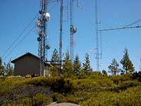
8$ is owned by the Siskiyou National Forest and the Bureau of Land Management. The summit is bisected in a north/south direction with the National Forest to the west and the BLM land to the east.
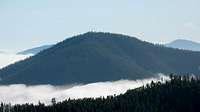
Nearby peaks include the highpoint of the Kalmiopsis Wilderness Area, Pearsoll Peak and the Josephine County Highpoint, Grayback Mountain.
Getting There

Red Tape

Rogue-Siskiyou National Forest Contact Information
Wild Rivers Ranger District
Joel King, District Ranger
2164 N.E. Spalding Avenue
Grants Pass, OR 97526
Phone Grants Pass (Galice):
Voice: (541) 471-6500
Fax : (541) 471-6514
TTY: 1-866-510-6861
Illinois Valley Ranger Station
26568 Redwood Hwy
Cave Junction, OR 97523
Phone Cave Junction (Illinois Valley):
Voice: (541) 592-4000
Fax : (541) 592-4010
TTY: (541) 592-4011

Bureau of Land Management
Medford Office
3040 Biddle Road Medford, OR 97504
(541) 618-2200
Grants Pass Interagency Office
2164 NE Spalding Ave Grants Pass, OR 97526
(541) 471-6500
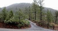
Camping

National Forest Campgrounds are listed here, some of them in the Wild Rivers Ranger District are quite a ways from the trailhead.
The best place to backpack camp is on the summit. There is no water on the summit of any developed campsites, but there are flat areas
When to Climb
