|
|
Mountain/Rock |
|---|---|
|
|
43.15270°N / 122.066°W |
|
|
Hiking, Mountaineering, Trad Climbing, Scrambling |
|
|
Spring, Summer, Fall, Winter |
|
|
9182 ft / 2799 m |
|
|
Overview
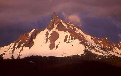
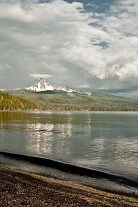
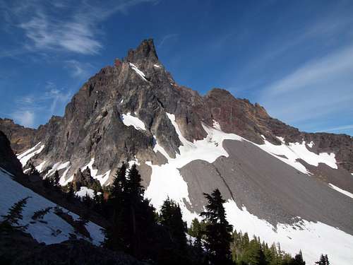
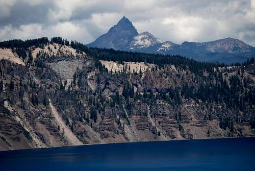
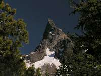
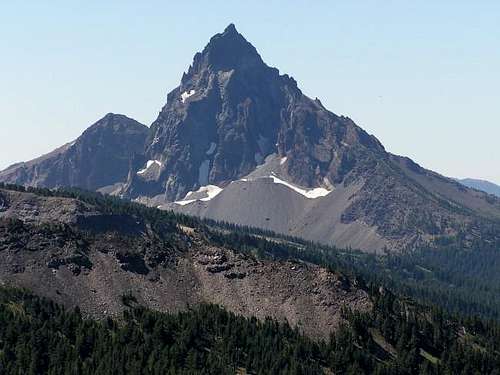
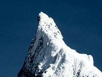
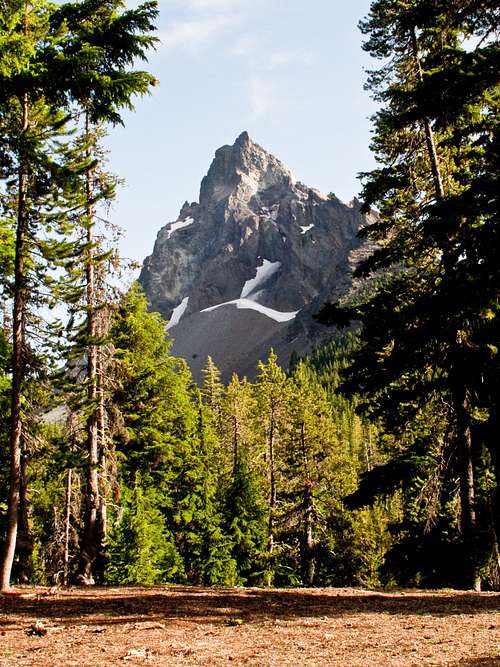
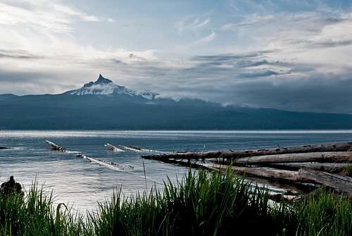
Mount Thielsen is a dramatic horn-shaped peak located in the Southern Oregon Cascades just north of Crater Lake. The peak rises abruptly from its surroundings to a very distinct spire. Its north and east faces are most impressive, towering 2200 feet upward in a near vertical fashion. Due to its dramatic spire shape, its dominance among other peaks in the region and the unstable weather this region receives Mount Thielsen is said to be struck by lightning more often than any other High Cascade peak, earning it the nickname the lightning rod of the Cascades.
This is the reigning peak in this part of the Cascades, there is no summit in the range higher until you reach the South Sister to the north and Mount McLoughlin to the south. Situated on the east side of Diamond Lake, it is directly opposite Mount Bailey, which offers sno-cat skiing and snowboarding in the winter. It is just south of Howlock Mountain, another rugged peak that is the third highest summit in the Diamond Lake area.
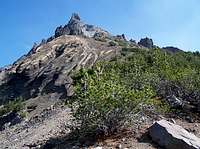
Despite its intimidating appearance, a climb of Mount Thielsen is a relatively straightforward undertaking. The West Ridge is an exhilarating route, not quite technical but with enough exposure to get the adrenaline pumping. The true summit is a spectacular spire sticking impressively upward into the sky. Standing on the summit, the land seems to drop off thousands of feet in almost every direction, giving the same feeling as if hovering high above the dense forests of the Oregon Cascades. Views are expansive in every direction, on a clear day Mount Shasta is visible to the south and the Three sisters are visible to the north. The summit of Mount Thielsen is also the only place outside of Crater lake National Park where the waters of Crater Lake are visible.
Geology:
Mount Thielsen is the eroded remnant of a shield volcano. Having gone extinct 290,000 years ago, multiple episodes of glaciation have stripped much of the rock from the mountain's lower reaches. Erosion has wiped out any trace of a summit crater. The mountain's jagged spire is all that remains of the volcano's central plug. The plug is composed of basaltic andesite, while the lower slopes are composed of pumice and volcanic breccia.
The forests on the mountain's lower slopes are typical of drier climates, despite the region's moist climate. This is due to the porous nature of the volcanic ash in the soils. Much of the rock present on the mountain today is volcanic ash from the cataclysmic eruption of Mount Mazama. This ash layer ranges from 12 to 60 feet deep, thick enough to deprive the region's trees of significant water.
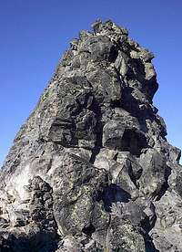
Thielsen's summit pinnacle is home to numerous lightning caused scars called fulgurites. These scars consist of small specs of obsidian-like glass on the summit rocks. Some of the more defined fulgurites appear as glass tubes that splinter and branch outward.
Mount Thielsen is also home to Oregon's southernmost glacier, the Lathrop glacier. It occupies a small cirque at the base of the mountain's massive north face, an area that sees little sunlight.
More information about the mountain's geology can be found at this link.
History:
Originally Mount Thielsen was informally named Big Cowhorn. It was one of two “cowhorn” peaks in the area along with Little Cowhorn, both peaks were capped with dramatic spires that resembled the horns of a cow. Later on the names faded away. In 1872 the peak was officially named Mount Thielsen by John A. Hulburt of Portland in honor of Hans Thielsen, a prominent railroad engineer and builder. In 1911 a storm blew the pinnacle off Little Cowhorn, and today Little Cowhorn is known as Cowhorn Mountain.
The first recorded ascent of Mount Thielsen was done by Ensign E Hayden in 1883. Hayden was a member of a USGS team studying the mountains of the Cascade Range.
In 1968 a daring first ascent of the peaks northeast ridge was performed by Tom and Bob Bauman and Gary Kirk. The route was named the McLaughlin Memorial route after Mark McLaughlin, a friend of theirs who died on Denali.
Getting There
From Medford: Head north on Highway 62 for 56 miles to the junction with Highway 230. Continue for 24 miles on 230 to to Highway 138. Head north on Highway 138 in the direction of Diamond Lake for 1.4 miles to the signed Mount Thielsen trailhead. If you wish to approach from the Thielsen Creek Drainage, continue another 3 miles to the Diamond Lake Loop Road. Head .3 miles south and turn on corral road to reach the trailhead.
From Roseburg: Head east on Highway 138 for 79 miles to the signed Mount Thielsen trailhead. If you wish to approach from the Thielsen Creek Drainage, turn 3 miles earlier on the Diamond Lake Loop road. Head .3 miles south and turn on corral road to reach the trailhead.
From Bend: Head south on Highway 97 for 75 miles to the junction with Highway 138. Head east on Highway 138 for 21 miles to the Diamond Lake Junction. From here head north on Highway 138 in the direction of Diamond Lake for 1.4 miles to the signed Mount Thielsen trailhead. If you wish to approach from the Thielsen Creek Drainage, continue another 3 miles to the Diamond Lake Loop Road. Head .3 miles south and turn on corral road to reach the trailhead.
Approaches
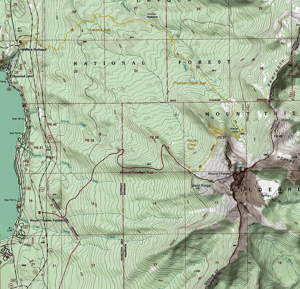
Most people climb Mount Thielsen by the standard Mount Thielsen Trail. This option is best for a short, straightforward day trip. In addition to the standard approach I've chosen to document a longer, but highly scenic approach through the Thielsen Creek drainage. Both of these approaches are shown on the map bellow. Both options involve roughly 3800 feet of elevation gain. (Note: both approaches listed here are for the standard West Ridge route.) If climbing Thielsen as part of a longer backpacking trip there are numerous other approaches, too many to list here. The Northern reaches of the Mount Thielsen Wilderness are highly scenic and worthy of a visit.
Mount Thielsen Trail: 4 miles to the junction with the PCT and the start of the West Ridge route. 5 miles to the summit.
As the name implies, this is the standard approach for Mount Thielsen. The trail begins at the Mount Thielsen Trailhead, and gradually climbs to the junction with the PCT, and the start of the use trail up the West Ridge. A section of the trail was recently re-routed to bypass a massive blow-down. No water is available.
Thielsen Creek Trail: 7.5 miles to the start of the west ridge route. 8.5 miles to the summit.
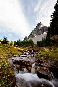
While longer than the Mount Thielsen Trail, this approach is in many ways superior. The scenery is superb and water sources are more plentiful. In addition, Thielsen Creek Meadows offers fantastic camping beneath the 2700 foot north face of this great peak. The approach follows the Howlock Trail to the Thielsen Creek trail, then follows the Thielsen Creek trail to the junction with the PCT, and then follows the PCT to the base of the west ridge. This is a great option for those wanting to do an overnight trip.
| Mount Thielsen Approach Map (click here for high resolution map) |
Routes
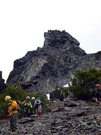
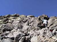
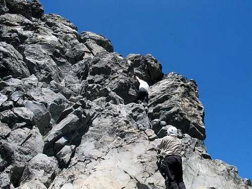
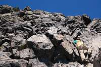
| West Ridge (Standard Route): This route begins as a use trail up the scree and talus of the lower mountain, later becoming a class 3 scramble as the ridge steepens. The final climb up the summit pinnacle is a class 4 scramble on the only solid piece of rock on the mountain.
McLaughlin Memorial Route: A seldom done route that follows the NNE ridge of the peak. The rock quality is reportedly very poor, and the route features “an unprotectable 40 foot vertical cinder pitch”. An interesting discussion of this route, including commentary from the first ascensionist, can be found here. A detailed route description can be found in Jeff Thomas' Oregon High. Rated 5.7X Grade III. |
Summit Pinnacle
Mountain Conditions
When to Climb
Red Tape
Camping
Contact and Links
2020 Toketee Ranger Station Road
Idleyld Park, OR 97447
(541) 498-2531
Fax: (541) 498-2515
(541) 793-3310


