Wind River Hiking Map & Guide

Product Description
Two large (27"x39") maps cover the massive Wind River Range-Northern Wind River Range and Southern. The Northern version encompasses 18 7.5-minute USGS Quandrangles while the Southern one contains 15 Quads. Both have indexes showing which quads they take in.Northern Wind River Range Hiking Map and Guide
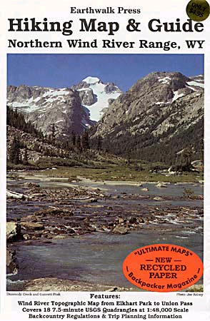
Waterproof and tearproof, this full color map is based on USGS topographic maps, and is updated regularly. It includes Gannett Peak, Horse Ridge, Union Pass, and Elkhart Park, with a detailed key enabling the hiker to identify glaciers and other natural formations. Earthwalk's Wind River Range maps also provide background information and regulations for the area, information on trail access, minimum impact techniques, as well as health and safety advice.
Map scale 1:48,000
Price-$8.95
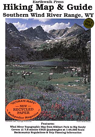
Southern Wind River Hiking Map and Guide

Waterproof and tearproof, this full color map is based on USGS topographic maps, and is updated regularly. It includes the Cirque of the Towers, Haystack Mountain, Wind River Peak, Big Sandy and Dickinson Park, with a detailed key enabling the hiker to identify glaciers and other natural formations. Earthwalk's Wind River Range maps also provide background information and regulations for the area, information on trail access, minimum impact techniques, as well as health and safety advice.
Map scale 1:48,000
Price-$8.95
Images
 |  |
Bill Reed - Apr 7, 2007 8:12 pm - Voted 5/5
Great maps!Still, if you're going into the Wind Rivers, you need to check them out!