
|
|
Mountain/Rock |
|---|---|
|
|
35.99204°N / 51.51622°E |
|
|
Tehran |
|
|
Hiking, Skiing |
|
|
Spring, Summer, Fall, Winter |
|
|
10630 ft / 3240 m |
|
|
Overview
Paynosoom peak is one of the peaks in the Roodbar-Ghasran region in central Alborz. It is located to the north of Mt. Abak. There are 3 villages around this peak, Shemshak to the west, Laloon to the northeast and Rooteh to the southeast.
The easiest way to get to the peak is to go to the village of Shemshak and hike up the Shemshak ski resort, and go a little bit to the left.
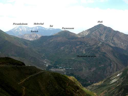
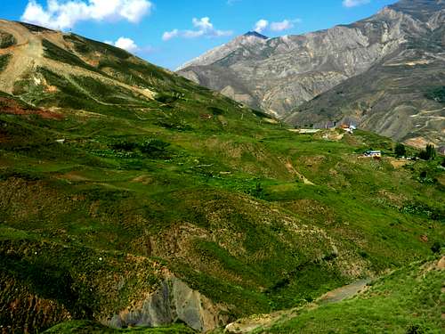
Paynosoom peak from Shemshak-Dizin road. (June 18, 2012)
It was the first day of Summer when I was there, and the area was very beautiful. Here are some pictures on my way to the peak:
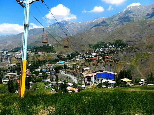
The village of Shemshak from the ski area. (June 21, 2012)
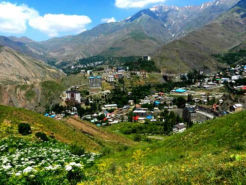
The village of Shemshak from the ski area. (June 21, 2012)
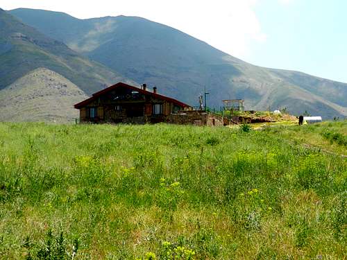
A new mid mountain restaurant from the ski area. (June 21, 2012)
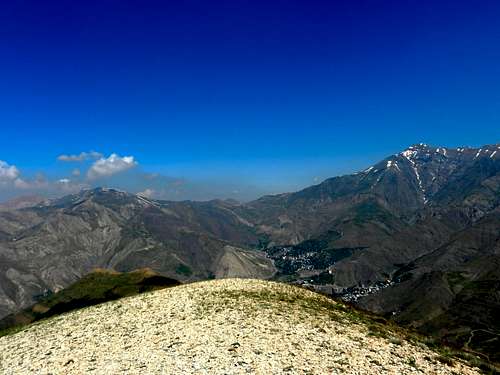
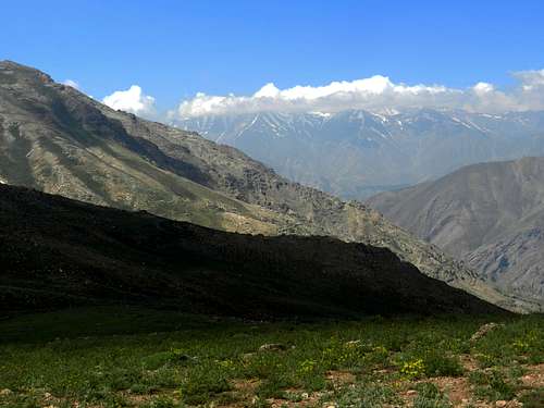
Looking SW from a spot close to the ski area. (June 21, 2012)
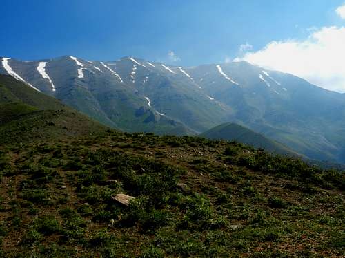
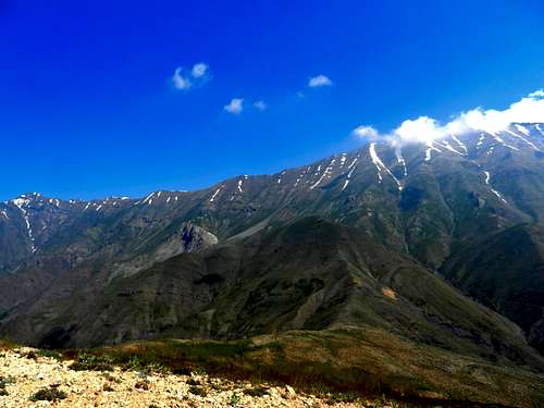
Sarakchal peaks (4221m). (June 21, 2012)
Sarakchal peaks. (June 21, 2012)
Shemshak and Darbandsar. Looking west from a spot close to Paynosoom peak. (June 21, 2012)
When I got to the Paynosoom peak, after a short time the weather got very hazy degrading the quality of the pictures. Here are the views when you are on Paynosoom peak:
Koloonbastak on the right and Seechal on the left. Looking west from Paynosoom peak. (June 21, 2012)
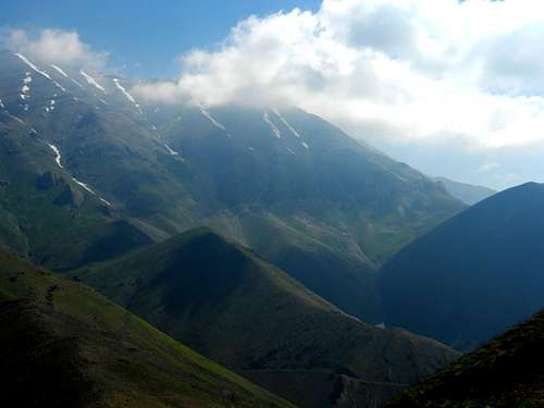
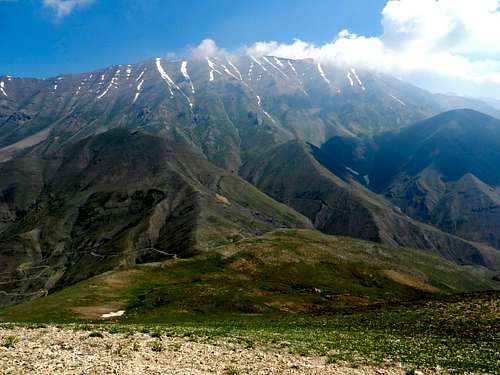
Koloonbastak (4156m) to Sarakchal (4221m) ridge. Looking NW from Paynosoom peak. (June 21, 2012)
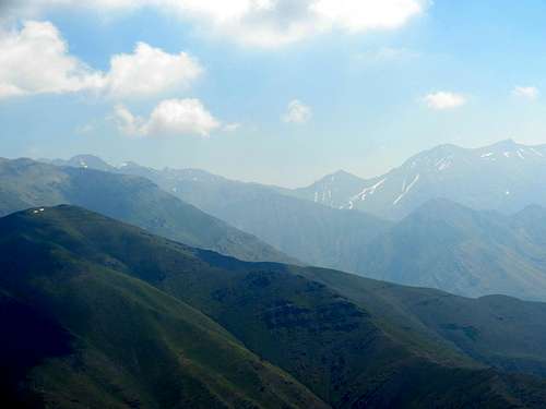
Sarakchal peaks. Looking north from Paynosoom peak. (June 21, 2012)
Kharsang peaks on the right and Janestoon peaks on the left. Looking NE from Paynosoom peak. (June 21, 2012)
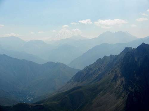
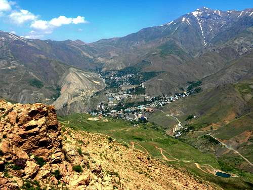
Damavand in the distance, and the village of Laloon on the lower left. Looking east from Paynosoom peak. (June 21, 2012)

Looking east from Paynosoom peak. (June 21, 2012)

Mt. Rooteh (3180m). Looking east from Paynosoom peak. (June 21, 2012)

mehrchal massif, and the village of Rooteh on the lower right. Looking SE from Paynosoom peak. (June 21, 2012)

Mt. Abak (3488m). Looking south from Paynosoom peak. (June 21, 2012)
Mt. Tochal from a spot close to Paynosoom peak. (June 21, 2012)

The highest peak is the summit of Mt. seechal. Mt Kashoolak is in front of it. Looking west from Paynosoom peak. (June 21, 2012)