-
 5935 Hits
-
 81.18% Score
-
 13 Votes
|
|
Mountain/Rock |
|---|---|
|
|
46.50229°N / 114.39899°W |
|
|
Ravalli |
|
|
Mountaineering, Scrambling, Skiing |
|
|
Spring, Summer, Fall, Winter |
|
|
8570 ft / 2612 m |
|
|
Overview
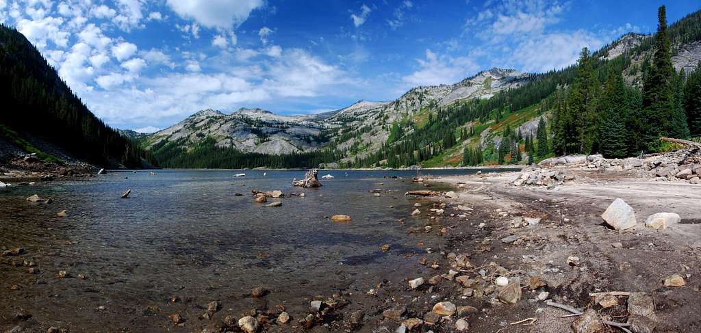
Sitting on the ridge – and the Montana/Idaho state line – south of Ranger Peak, this highpoint is sometimes mistaken for Ranger Peak, probably because being closer to the viewer the perspective makes it appear more lofty. Though not the case, it is a worthy climbing goal.
Though maps show the highpoint of this mountain to be where its north, south, and east ridges meet, that is not the case. The summit is actually on the north ridge a slight distance north of that spot. The highpoint is marked with a state-line marker, a vertical 4' section of steel pipe.
Though this peak can be climbed as a 1-day outing from the Big Creek Trailhead, it is much more enjoyable to establish a base-camp near the Big Creek Lakes and turn the climb into a multi-day event.
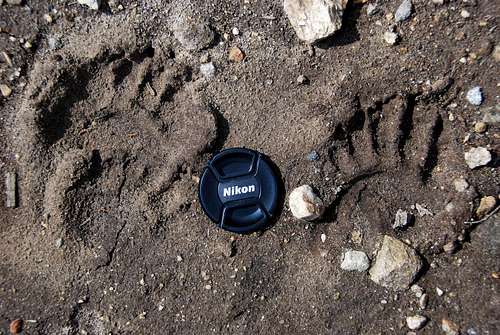
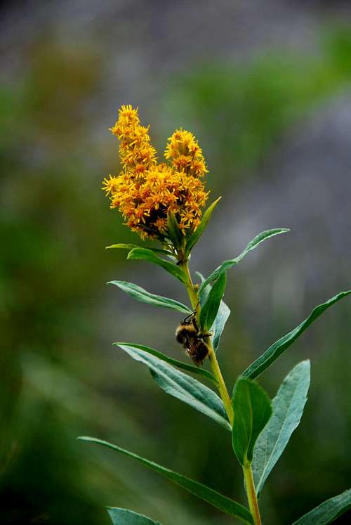
If you're not a "fitness god", reaching this summit will be a multi-day affair. Camping by the very picturesque and remote Big Creek Lakes for a day or two only enhances the experience of reaching this wilderness summit.
The trial to Big Creek Lakes is heavily used by area horsemen and women, especially during weekends. In fact, the local chapter of the Back-Country Horsemen do a lot of work (annually) on this and other Bitterroot stock trails to keep them in good condition. Thanks!
Getting There
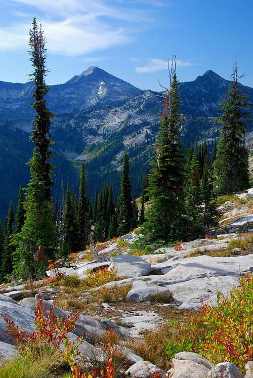
The Big Creek Trailhead provides the easiest access to this summit.
From the Stevensville turnoff on Hwy 93, drive south for 5.5 miles to Big Creek Road. (This junction, with its flashing yellow light, is also known as Bell Crossing.)
Turn right (west) onto the gravel Big Creek Road, then follow the signs to the Big Creek trailhead, approximately 4.5 miles from Hwy 93.
Less than a half mile from Hwy 93, the road makes a couple of 90 degree turns (right then left – north then west) before continuing for another mile where it reaches FR 738.
Proceed northwest on FR 738, then, at about three miles from Hwy 93, the road crosses the old Curlew Mine (open-pit) before continuing to a junction.
At the junction, bear to the right (northwest) and follow the road a short distance to its end.
The trailhead has an outhouse, several picnic tables, and lots of room for parking.
Area Restrictions (Red tape)
Just under 1.5 miles from the trailhead you pass into an official wilderness area, The Selway-Bitterroot. All wilderness rules and regulations apply.
Camping
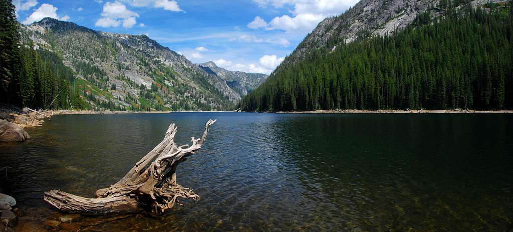
There is no camping at the trailhead for this route. However, there are some truly superb sites at Big Creek Lakes, both near the dam and along the western shore.
There are also established campsites 5 miles in along the trail at "Teepee Rock."
Although the trail-side sites are more than adequate, I highly recommend camping at the lakes.
The Route
The easiest route begins on the trail along the west side of Big Creek Lakes and uses the east ridge to reach the summit. There is some serious bushwhacking at the beginning of the off-trail section of this track, but it doesn't last too long. Climbing need be no more difficult than Class 2+.
Trailhead to Base-Camp
Route Type – Hike
Class Level – Class 1
Effort Required – Moderate
Elevation of Lake – 5,865''
Elevation Gain – 3,303' (rt - base-camp at Big Creek Lakes)
Distance – 17.4 Miles (rt - base-camp at Big Creek Lakes)
Base-Camp to Summit
Route Type – Scramble
Class Level – Class 2+ or 3
Effort Required – Moderate
Summit Elevation – 8,570'
Elevation Gain – 2,904' (rt - base-camp at Big Creek Lakes)
Distance – 6.1 Miles (rt - base-camp at Big Creek Lakes)
Approach – Trailhead to a Camp Near the Dam on Big Creek Lakes
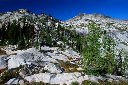
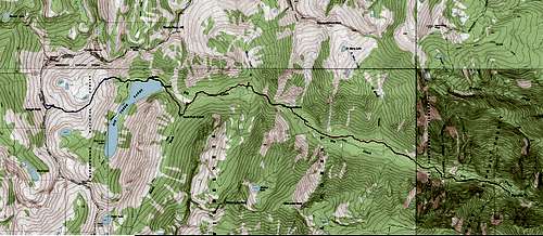
From the trailhead proceed along the trail as it heads west into the canyon, basically following Big Creek. The trail crosses a pack bridge about 1.5 miles from the trailhead, then crosses Saint Mary Creek around 3 miles in.
Just over 5 miles from the trailhead, the trail passes Teepee Rock, a huge boulder on the right (north) side of the trail (46.48957 N / 114. 30458 W – elevation 4,890'). There are several campsites in this area.
Over the next couple of miles the trail uses rustic log bridges to cross a mountain stream, Beaver Creek, and Big Creek.
The track forks at the South Big Creek Trail (46.48683 N / 114.34842 W – elevation 5,500'), 7.9 miles from the trailhead. Some may find it interesting that this pack trail leading south to South Fork Lake, was cleared during 2009 for the first time in ten years.
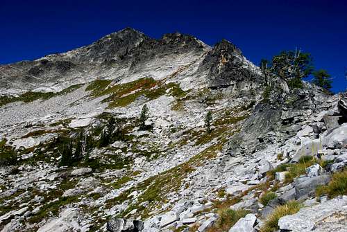
Less than one mile after the trail junction, the track finally reaches the outlet of Big Creek Lakes.
There are several nice campsites close to the dam end of the lakes; however, the best sites are farther down the west side of the lake near a small peninsula. But, because there is a small grassy meadow close by – perfect for grazing livestock – these camping spots are almost always occupied by stock users.
Climbers' Route – Base Camp to the Summit
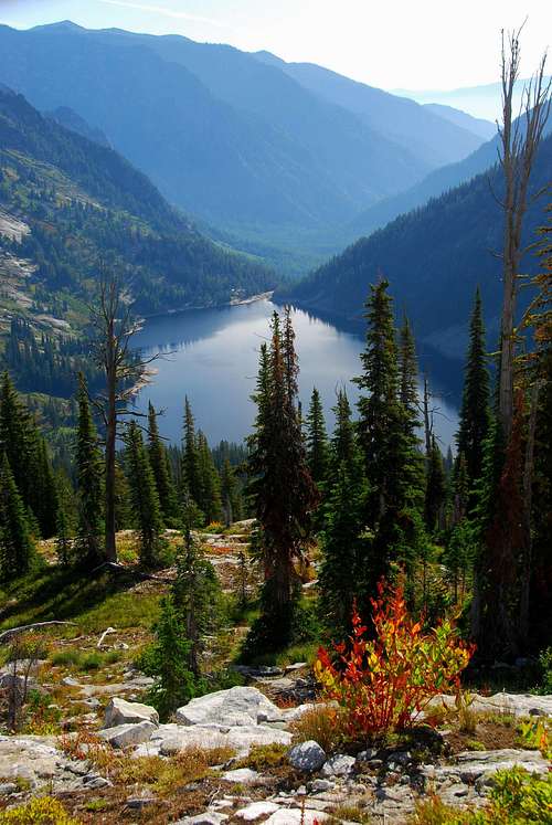
Beginning from the area of the dam on Big Creek Lakes – the most likely place you'll be able to find an empty campsite – head northwest then west on the trail around the north end of the lake.
Just where the trail turns to the south (46.49673 N / 114.36621 W – elevation 5,950'), go off-trail and bushwhack your way uphill through the dense foliage and over sections of slab-granite. There is no “perfect” way through this section of the route. Everyone must pick a line and just “go for it.”
Eventually you will break out of the thick brush and foliage and enter an area of grass and groves of trees, somewhere around an elevation of 6,600'. The ridge leading to Ranger Point – to the south – should be quite obvious.
Cross the stream which drains this upper portion of the cirque and hike south-southwest up the crest of the ridge. Continue climbing the ridge as it makes a slow swing toward the west.
Just before the ridge competes its westward turn, around an elevation of 7,600', leave the ridge-crest and traverse along the right (north) side of the ridge using a series of small ledges. This traverse enables one to bypass several gendarmes which guard the crest of the ridge.
Regain the crest just above 6,800' and continue following the ridge-crest upward.
At 8,200' there are a series of cliff-bands which cross the ridge. Though it is possible to ascend these cliffs using Class 3 climbing, it is easier to drop off the right (north) side of the ridge onto talus and boulders and perform a climbing traverse around the bands to reach the summit ridge.
Once you reach the summit ridge turn right (north) and complete the easy short hike to the highpoint indicated by the state-line marker.
To descend either reverse this route to the lake or continue along the north ridge to Ranger Peak.

When To Go
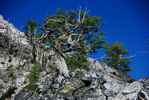
It's possible to visit this summit at any time of the year. But the best time is during the summer and fall. I especially like to go late in the season after the mosquitoes and other biting bugs have mostly disappeared.
Essential Gear
Other than standard hiking gear, nothing special is required to reach this summit. However, it is much more enjoyable to camp near the Big Creek Lakes and make this a multi-day outing. In fact, your best bet is to include ascents of Ranger Peak and Old Stormy and turn it into a three-day affair.
Note: There is some exposure to avalanche just below the summit as you approach the top of the ridge, so it's best to limit “winter” ascents of this summit to late in the season after the snow is well consolidated.
Route Statistics
Gain – 6,207'
(total round trip)
Distance – 23.5 miles
(total round trip)


