-
 7464 Hits
-
 81.84% Score
-
 14 Votes
|
|
Mountain/Rock |
|---|---|
|
|
45.97181°N / 114.29668°W |
|
|
Ravalli |
|
|
Mountaineering, Scrambling |
|
|
Spring, Summer, Fall |
|
|
9265 ft / 2824 m |
|
|
Overview
|
|---|
|
Could it be the high canyon walls which protect the Little Tin Cup Cirque – Chaffin Canyon’s south rim and Tin Cup Canyon’s north rim – have kept it so free from human visitations? Both rims look formidable, but come on, we’re climbers after all. We’re supposed to like climbing.
Or maybe it’s the fact that the Little Tin Cup Cirque has no trail into its upper reaches. The tarn which is the headwaters of Little Tin Cup Creek has no man-made dam, so no trail was ever built. I think both of those things – lack of trail and protection by high canyon walls – have certainly contributed equally to this area’s lack of visitors. Not on the beaten path, the area of the Little Tin Cup Cirque is “out-of-sight, out-of-mind” of those who pass along the trails in the canyons to the immediate north and south. And from the valley floor where the peaks of the Little Tin Cup are clearly visible to anyone who looks, people’s eyes are drawn to the more recognizable peaks with which most valley residence are familiar. I know of only two people, other than those I have taken myself, who have visited the Little Tin Cup Cirque and it magnificent surrounding summits. I guess I’ll have this mostly unknown area to myself for years to come. Too bad! |
|
The Little Tin Cup Headwaters
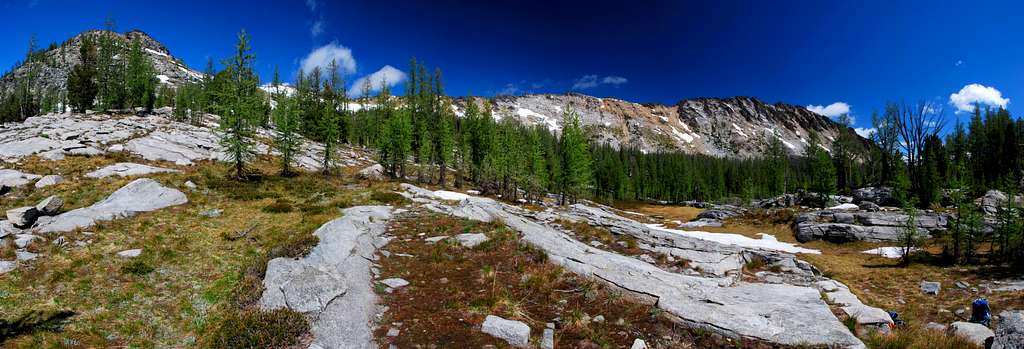
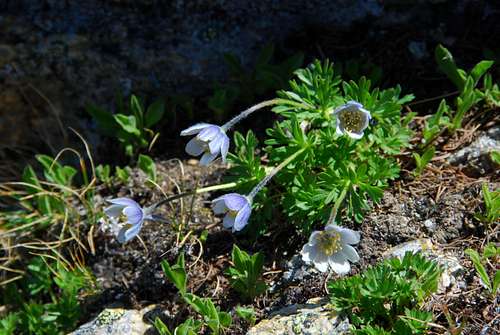
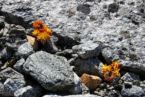
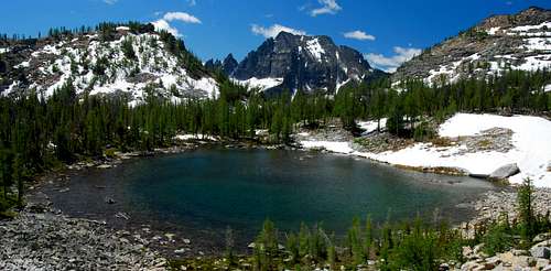
High above and south of the Chaffin Creek Trail is hidden a small hanging valley. Home to the headwaters of Little Tin Cup Creak this valley has been visited by an extremely small number of people and with good reason. Besides being hidden from view and therefore from notice, it is quite difficult to reach. The western end of this valley terminates at the base of Little Tin Cup Peak. Bordered on the north by shear cliffs and protected by trackless wilderness to the east, the most practical way to reach this beautiful place is from the Chaffin Creek Trail. Even then, a southern approach is problematic because of the many cliffs and gendarmes which lie between the trail and the hanging valley. Fortunately there is one rather wide talus-filled gully which gives comparatively easy access, at least when judged against the other possibilities for admittance. It is the strenuous climb up this gully which allows access to two interesting yet easy-to-climb mountains – Little Tin Cup Point and Little Tin Cup Peak – both of which offer some of the most spectacular views one could hope for. Covered with a mix of grasses and different types of heather growing under an open forest of Whitebark Pine and Alpine Larch, there may be no more wonderful place to camp anywhere in the Bitterroots. Small streams of melt-water, a small high-mountain tarn, and uncountable numbers of wildflowers only add to the beauty. Because of its high elevation and orientation, this hanging valley holds snow well into the climbing season, often past the last days of July. That, plus the existence of a more-than-adequate number of mosquitoes certainly shorten the period of time when camping here can realistically be enjoyed. And there is one other thing. The number of people willing and able to climb to this hanging valley carrying a backpack full of camping equipment can probably be counted on one hand. But if you’re one of those people, what a wonderful place to establish a base-camp during late summer or early fall (after mosquito season) for a multi-day climbing adventure. |
Getting There
|
|---|
Area Restrictions (Red tape)
| A little over 2.5 miles from the trailhead the Chaffin Creek Trail passes into the Selway-Bitterroot Wilderness. All wilderness rules and regulations apply. |
Camping
| The only good place to camp anywhere along this route is in the hanging valley which is the headwaters of Little Tin Cup Creek. Getting there is hard enough without carrying camping gear. Still if you’re going to make this a multi-day outing, that’s the place to camp. Just be sure you’re up to the ascent of the access gully with extra weight on your back. |
The Routes
| South Face Route |
|
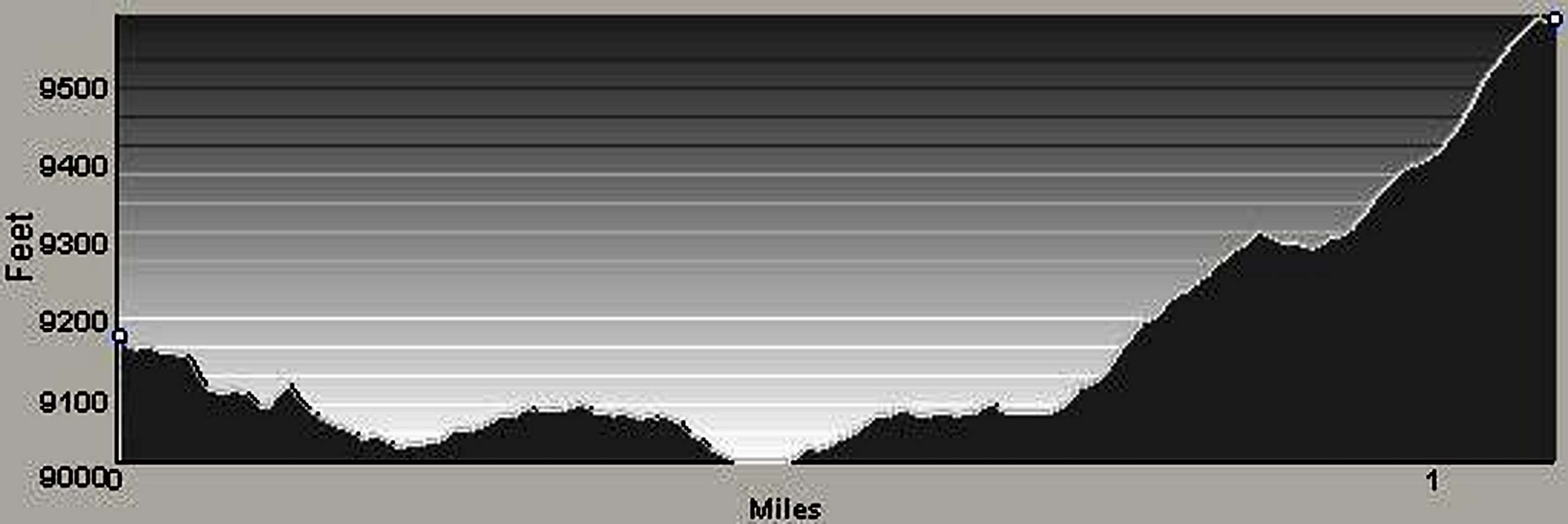
Climbing this mountain is not technically difficult (Class 2+), but reaching the hanging valley for access is quite strenuous.
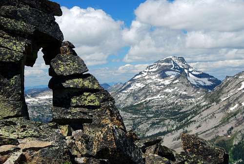
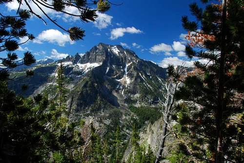
Views from this summit are simply astounding. Too bad they have been only enjoyed by a very few. The mountain and hanging valley above which it sits are well worth the effort required to reach them. |
|
|
|---|
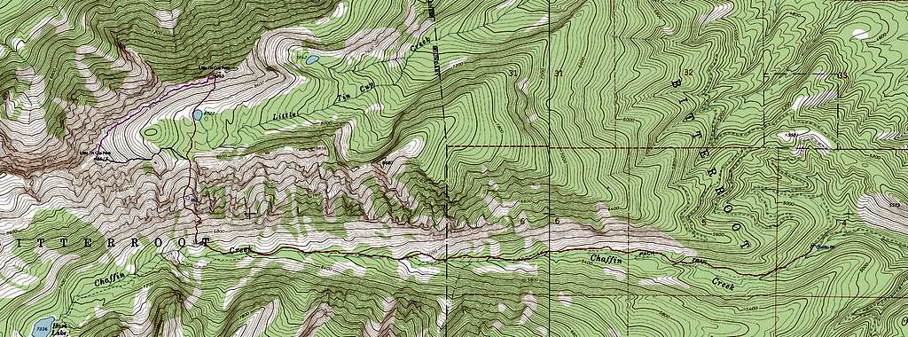
| At about 4.3 miles you will have finished a series of switchbacks up the north side of the drainage and reached an elevation of approximately 6,750’. You will be on a grass-covered moraine just south of and below the largest gully up the north side of the canyon (45.95584 N / 114.30217 W). This is the place where you leave the trail to reach the Little Tin Cup Cirque. |
|
|---|
|
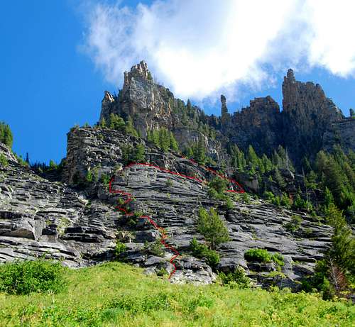
Follow the second ledge back toward the west until you reach an easy way upwards and to the northeast. Climb up through the sparse trees until you reach the edge of a small field of talus and boulders below a large granite face.
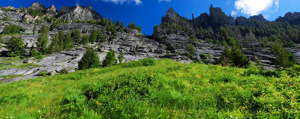
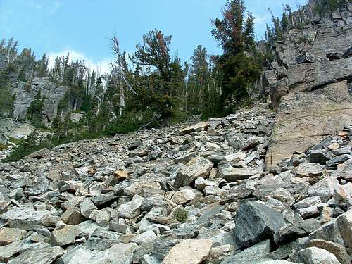
Change your direction of travel to the northwest and cross the talus field heading for the base of the granite face. When you reach the face keep your track heading northwest and hike through a thick section of trees and brush. Keep heading northwest, avoiding trees and brush where necessary. There is a small stream (seldom dry) flowing down the gully. Look for a place of your liking to cross the stream and, keeping your direction of travel in a northwesterly direction, cross the stream. Once over the stream, gradually change your direction from northwest to north as the terrain dictates. You will need to negotiate several small groves of trees and areas of brush as you climb. Just take your time and look for the easiest path. |
|
|---|
|
There are several gully-like depressions on the face ridge’s, each of which must be negotiated as you climb. There is nothing difficult but you may find it makes sense to detour around some of the rock outcrops and depressions.
When you arrive at an elevation slightly above 8,800’ you should have arrived at a shallow gully which reaches the ridge-crest. Begin climbing the gully directly north. The highpoint of the ridge, Little Tin Cup Point is just left (west) of the place where you reach the ridge. There are several paths from the top of the gully to the highpoint. I found one which did not exceed Class 2+ on the south side of the ridge. It may take a bit of trial and error to find it, but I guarantee it’s there. Descend by reversing this route or continuing west along the ridge to Little Tin Cup Peak.
|
| Connecting Ridge Between Little Tin Cup Point and Little Tin Cup Peak |
| For extra credit, climb both Little Tin Cup Point and Little Tin Cup Peak during one outing using the connecting ridge. Little description is required for negotiate this ridge. It’s a straightforward climb which is mostly Class 2 but does include Class 3 moves at a few of the more difficult spots. |
|
|
|---|
When To Go
|
Because the chute used to reach the Little Tin Cup Headwaters is susceptible to avalanche, you pretty much have to wait at least until all the snow has melted from the chute. Most years that is by the end of June.
But, the best time to visit this summit is from mid-July to mid-September. Given the preponderance of mosquitoes, waiting until they’re beginning to diminish – usually mid August – is the best. |
Essential Gear
| Unless you’re planning to camp in the Little Tin Cup Cirque, only hiking gear is required to reach this summit. Water is available in the cirque all year, so if you carry a water filter, you can lessen your load for the climb up the chute. |
Route Statistics
|
|


