-
 7713 Hits
-
 85.36% Score
-
 20 Votes
|
|
Mountain/Rock |
|---|---|
|
|
46.16328°N / 114.31769°W |
|
|
Ravalli |
|
|
Hiking, Scrambling, Skiing |
|
|
Spring, Summer, Fall, Winter |
|
|
8905 ft / 2714 m |
|
|
Overview
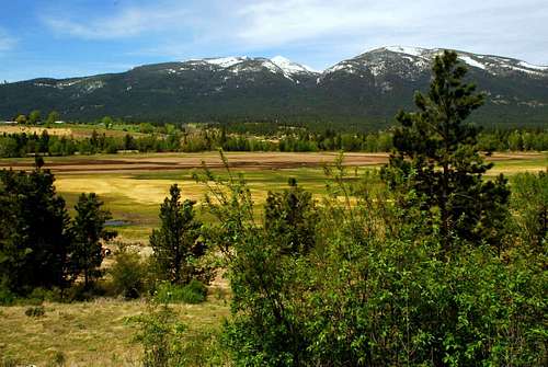
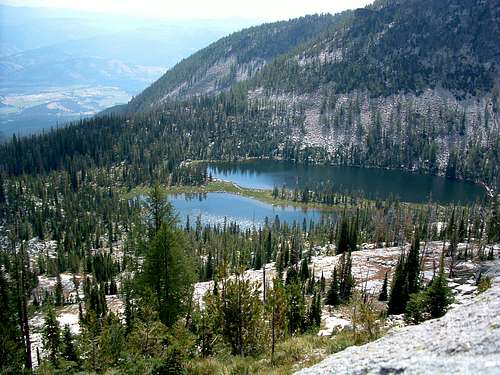
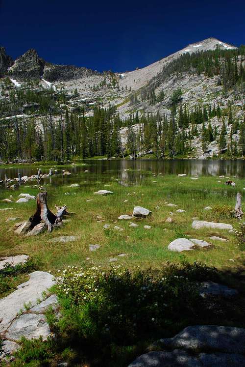
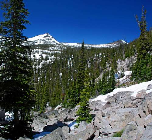
Route Type – Scramble Elevation – 8,905’ Class Level – Class 2+ Length of Time Required To Complete Route – one day Camas Peak is a 1.5 mile long ridge which curves around the southwest end of the Camas Cirque. After some discussion, Bob Sihler – who, with me recently climbed all five highpoints around the cirque in one day – and I decided there were two reasons to post the mountain as three separate pages. One is, that although close together, the two highpoints (Point 8905 and 8934) which comprise the peak's two highest points have quite different climbing characteristics. And two, while Point 8905 drains into Camas Lakes and Creek, Point 8934 is just west of the cirque and drains into Roaring Lion Creek. We agreed to refer to Point 8905 as Middle Camas Peak and Point 8934 as West Camas Peak which makes Point 8766, East Camas Peak. Almost hidden from the floor of the Bitterroot Valley, Middle Camas Peak appears on the western horizon as hikers approach Lower Camas Lake. And as one moves west along the trail to Middle then Upper Camas Lake, the mountain begins to take shape. But it’s only when one climbs above the lake into the upper portions of the cirque that the best of what Middle Camas Peak has to offer can be seen, great backcountry skiing. That’s not to say that Middle Camas Peak is not a great mountain for climbers. It is. The views of the surrounding area are wonderful and inspire thoughts of possible climbs. But to Bitterrooters, those of us who live in the Bitterroot Valley, Middle Camas is best known as a destination for adventurous souls who love to ski the backcountry. Getting ThereCamas Lakes TrailheadTurn right (west) onto Lost Horse Road. Drive 2.4 miles to a posted junction with FR 496. Take the right fork (northwest) onto the gravel road and drive for 6.1 mile to the well-marked pull-off for the trailhead. There is ample parking for several vehicles but no restroom facilities. Area Restrictions (Red tape)The region of the Camas Lakes, the Camas Cirque, and the highpoints which lie on the rim of the cirque are outside the official Selway-Bitterroot Wilderness. When the Wilderness Boundary was drawn, for some reason it was felt that Lost Horse Canyon – the area just south of the Camas Cirque – should not be included in the wilderness area. (Aren’t politics fun?) In order to accomplish that, much of the area around Ward Mountain and the Camas Cirque was left out of the official wilderness area.So, Wilderness rules and regulations do not apply, only Forest Service rules. CampingThere are plenty of good camping spots at Lower and Upper Camas Lakes, and some of the best camping in the Bitterroots can be had around Kidney Lake.The Route
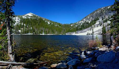
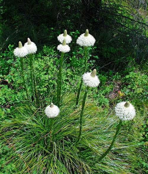
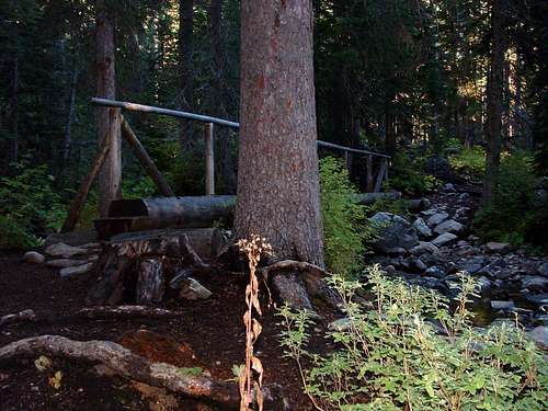
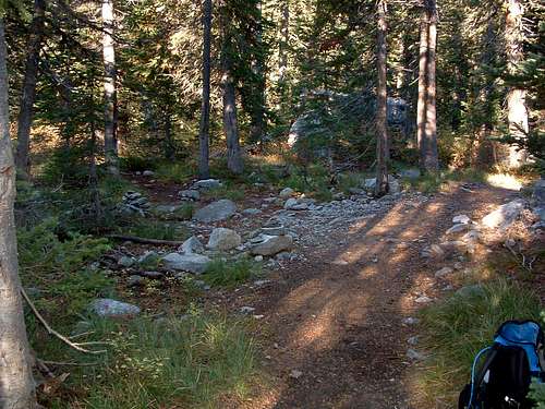
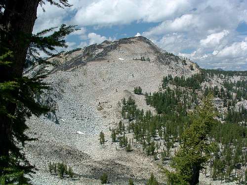
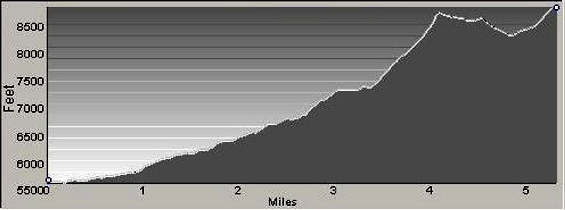
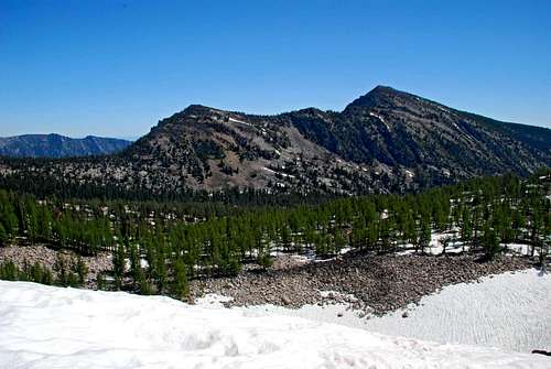
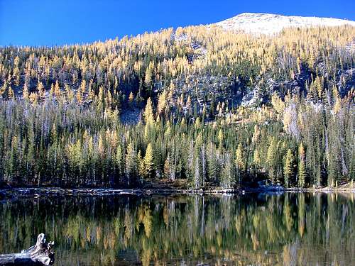
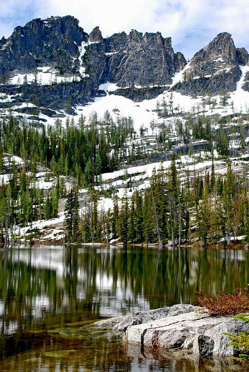
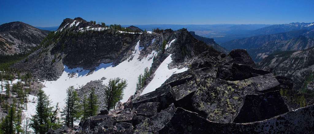
At a point approximately 2 miles from the trailhead, you will cross two bridges in rapid succession over a couple of rushing streams. The trail then begins a more rapid ascent, but there are several switchbacks to lessen the impact on your legs. The trail levels off a bit as you approach 2.5 miles. At an elevation of about 6,800’ (46.15419 N / 114.27371 W) there is a faint trail to your left (southwest) which is sometimes marked by one or more smallish cairns. You will take this trail which leads to Kidney Lake. Note: This side trail has been abandoned by the Forest Service, and you will often find the cairns which mark its beginning have been kicked over or are missing altogether. You really have to pay attention or you’ll miss the turnoff. Why this trail has been abandoned by the Forest Service is a mystery to me. Kidney Lake is one of the nicest little lakes in the Bitterroot Mountains, one I highly recommend to anyone interested in backcountry camping or fishing for Cutthroat Trout in a seldom-visited and almost-pristine lake. Abandoned or not, the trail to Kidney Lake is in good shape and fairly easy to follow. The original engineering was good at using switchbacks to ascend slope. The only problem on this old trail is within 100 yards of where it leaves the Camas Lakes Trail. You have to cross a rushing stream (Camas Creek) which can be quite difficult to navigate during periods of high runoff without getting soaked; but once you’re over, it’s easy going up to the lake. You reach Kidney Lake about .75 mile after leaving the "official" Camas Lakes Trail. On the north side of the lake, you will see a ridge crest leading up to Point 8,766 which is west-northwest of the lake. Head around the east end of the lake - sometimes this area can be particularly spongy and wet, so you may want to make a slight diversion or two - to the ridge crest and begin ascending the slabs and boulders, intermingled with patches of Beargrass and trees. The going is not particularly steep or difficult. Upon leaving East Camas, follow the ridge crest as it slowly works its way downhill in a northwesterly direction, doing your best to stay as high on the ridge as you can; however there are a couple of places where you may want to skirt some particularly irksome rocks by staying off of the ridge-crest to your right (northeast). When the ridge takes a turn to a more westerly direction, you will see a saddle to which you must descend before the final ascent to your destination, Middle Camas Peak (Point 8,905). Pick your line, but save your legs by not descending below the saddle. Giving up 450’ from Point 8,766 to the saddle is payment enough! As you descend, study the ridge crest leading to the summit, paying close attention to where groves of trees are in relation to the ridge. Keeping their location in mind will help you pick a good line during the ascent. Upon reaching the saddle, take a few minutes to study possible lines up the southeast ridge. Though it’s difficult to tell from your vantage point in the saddle, there are several especially steep sections close to the summit (if you veer too far to your left), and remembering where the signpost (trees, distinguishable rock outcroppings, etc) are in relationship to the ridge crest will help you keep a better route.
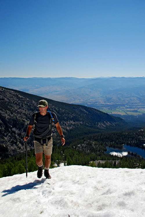
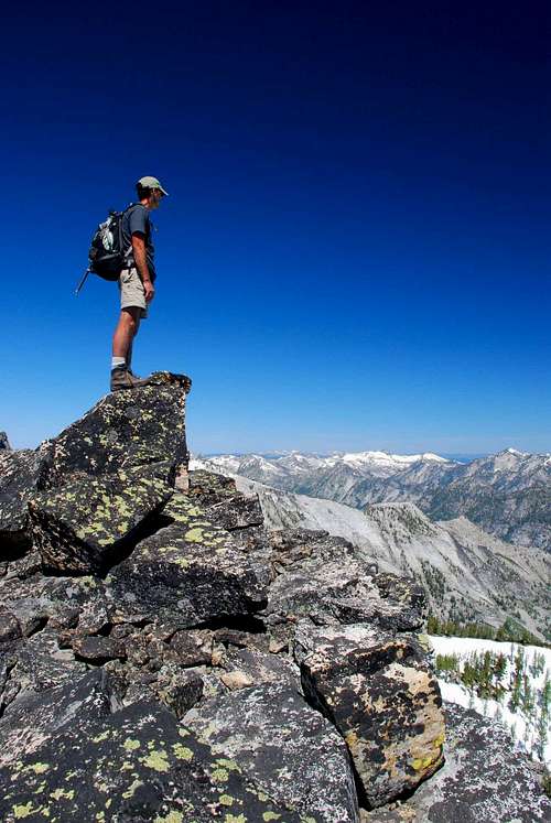
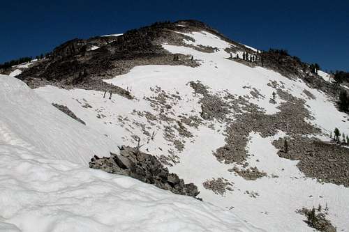
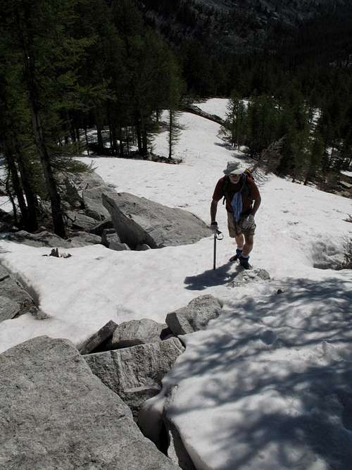
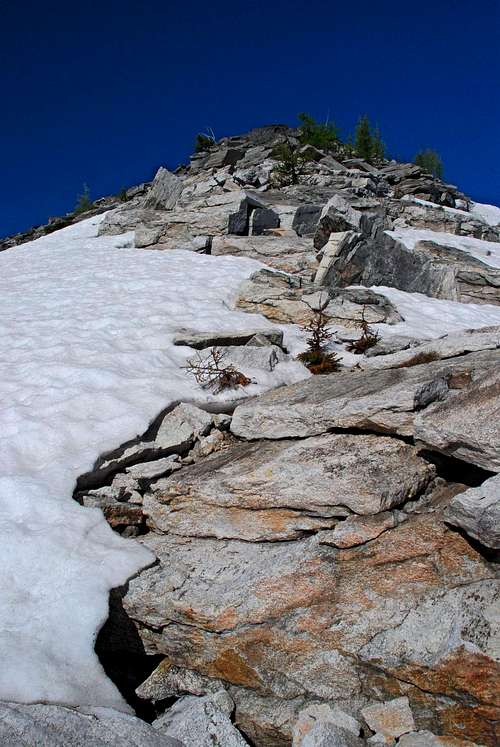
Begin the final push to the summit, almost 600 feet above. I believe you’ll find the easiest line to the top will be close to the ridge crest. But, if you're interested in more difficult Class 3 or 4 climbing, go a bit left and scramble up the steep granite guarding the south side of the summit. Note: There is another more direct way to the summit of Middle Camas Peak. It entails hiking past all three Camas Lakes, bushwhacking into the upper section of the Camas Cirque, hiking directly up the middle of the cirque, then climbing the northeast ridge (or the east face) to the mountain's top. This is the most-used route by skiers, though not as interesting to hikers and climbers. When To GoThis summit can be (and is) visited at any time of the year. Many use the east face of this peak during the winter and spring for some superb backcountry skiing, though they do not always use the route I describe to reach it.There is little chance of avalanche on this route because once it leaves the protection of the woods it stays mostly on ridge-crests. However that doesn’t mean it couldn’t happen. You should always stay alert and know what you’re doing if you travel on snow-covered slopes. Because of high water during the spring runoff, it’s almost impossible to cross Camas Creek at the beginning of the trail to Kidney Lake. If high water is present, the best bet is not to cross the bridge(s) over Camas Creek (about 2 miles from the trailhead), but to leave the trail at that point and bushwhack west-northwest until you find the trail to Kidney Lake (a little less than half a mile). Essential gearGood hiking boots and weather-appropriate clothing, along with the necessary food and liquids to complete the trip, are all that’s required for this route during the summer hiking season. If you attempt it when snow is present, you will need an ice axe at a minimum and may need crampons, too.Route StatisticsEye Candy - Additional Photos
|


