-
 7831 Hits
-
 81.16% Score
-
 13 Votes
|
|
Mountain/Rock |
|---|---|
|
|
46.17359°N / 114.31604°W |
|
|
Ravalli |
|
|
Hiking, Skiing |
|
|
Spring, Summer, Fall, Winter |
|
|
8909 ft / 2715 m |
|
|
Overview
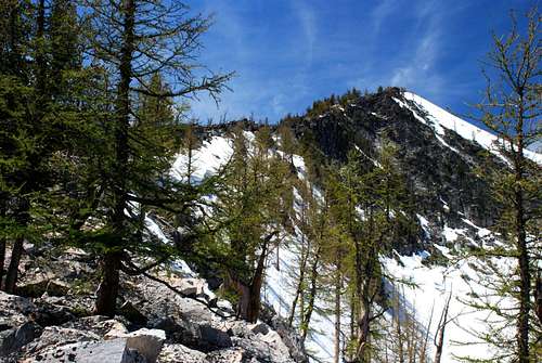
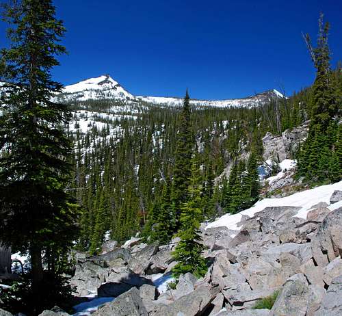
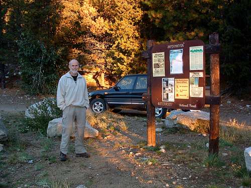
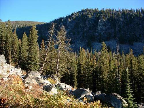
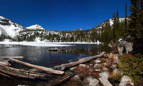
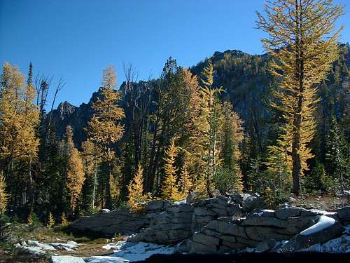
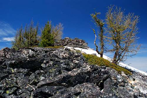
Elevation – 8,909’ Route Type – Hike Class Level – Class 2 Length of Time Required to Complete Route – one day Whenever I hike or climb toward the top of a mountain, I’m continually looking for another peak to reach. And when I see an interesting one, I’ll ask anyone who will listen, "What’s the name of that peak?" I’ve often climbed in the area of the Camas Cirque and Ward Mountain and each time have been particularly intrigued by the unnamed summit standing along the north rim of the Camas Cirque, Point 8909. Because this particular cirque is a favorite of backcountry skiers, I asked several of those who ski the Bitterroot Backcountry if they were familiar with this highpoint. Some knew of the peak but only a couple had bothered to visit it on skis. I found this surprising because of Point 8909’s south-facing slope – still holding snow when I visited during June 2008 – covered by widely scattered Whitebark Pine and Alpine Larch and falling gradually toward the middle of the Camas Cirque. It appears that few have climbed Point 8909(or as I call it, Camas Point) during any season. One reason may be that, although the summit is higher than another highpoint along the buttress which supports this spot on the Camas Cirque rim from the north, the elevation is not noted on Topo maps of the area. (Upon the advice of a surveyor, I let my GPS sit in one spot on the summit for approximately 20 minutes to get a comparatively accurate reading of the elevation.) Or, it could be that because it sits behind - west of - the north buttress of Point 8765, Camas Point is just barely visible from the floor of the Bitterroot Valley and then only from a few selected spots. Whatever the reason, I found this summit to be well worth the time and effort required to reach it. Another bit of information. Point 8909 is the northern-most highpoint of the six on the rim surrounding the Camas Cirque. The others are: Point 8766 - East Camas Peak (directly south of Upper Camas Lake and east of Kidney Lake); Point 8905 - Middle Camas Peak (west of Upper Camas Lake on the southwest corner of the cirque’s rim); Point 8934 - West Camas Peak (the western-most highpoint on the cirque’s rim); Point 8765 (north of Upper Camas Lake); and Ward Mountain (northeast of Upper Camas Lake and the highest point on the rim). Getting ThereCamas Lakes TrailheadDrive south from Hamilton, MT for a little over 9 miles. Turn right (west) onto Lost Horse Road. Drive 2.4 miles to a posted junction with FR 496. Take the right fork (northwest) onto the gravel road and drive for 6.1 mile to the well-marked pull-off for the trailhead. There is ample parking for several vehicles. There are no restroom facilities. Area Restrictions (Red tape)This route to the summit of Point 8909 passes mostly through the National Forest; however once you reach the last portion which climbs the southeast ridge, the route enters official Wilderness Area. All Wilderness regulations apply.CampingThere are several good camping spots near both Lower Camas Lake and Upper Camas Lake – the area around Middle Camas Lake is too swampy for camping – but, the best camping is above Upper Camas Lake near a small tarn in the grassy portions of the Camas Cirque.The Route
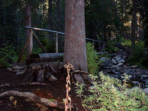
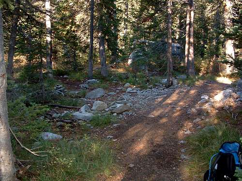
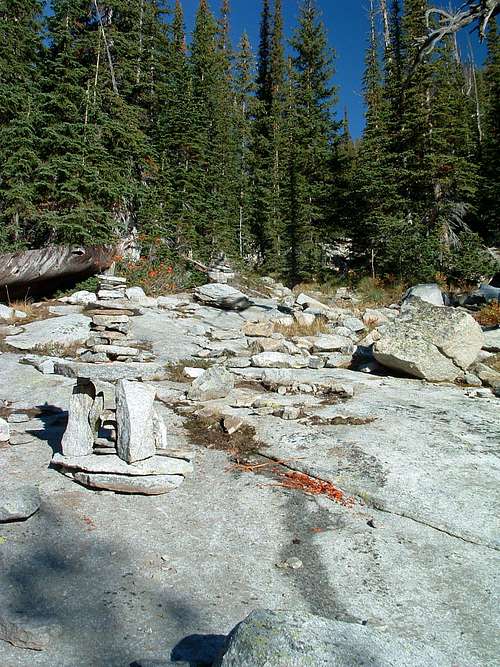
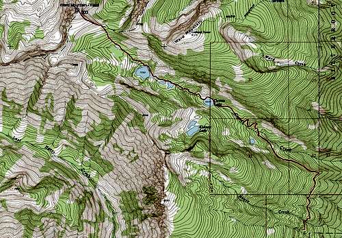
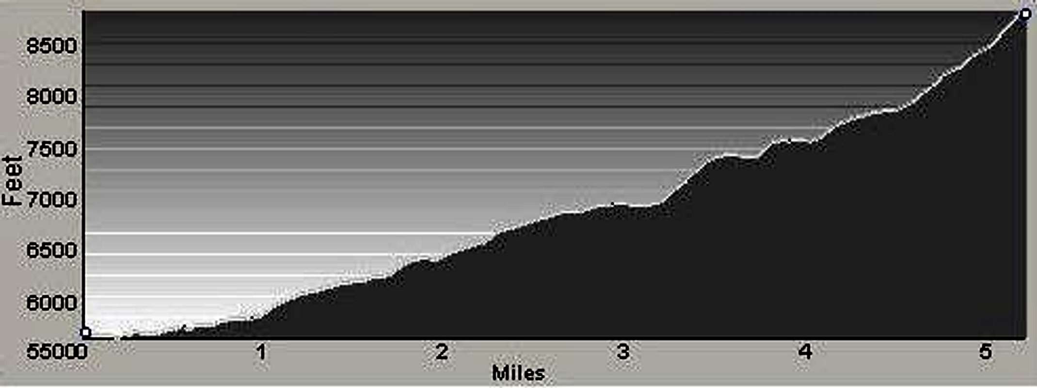
At a point approximately 2 miles from the trailhead, you will cross two bridges in rapid succession over a couple of rushing streams. The trail now begins a more rapid ascent but there are several switchbacks to lessen the impact on your legs. The trail levels off a bit as you approach 2.5 miles. At an elevation of about 6,800’ (46.15419 N / 114.27371 W) there is a faint trail to your left (southwest) which is sometimes marked by one or more smallish cairns. This trail leads to Kidney Lake. Note: This side trail has been abandoned by the Forest Service, and you will often find the cairns which mark its beginning have been kicked over or are missing altogether. You really have to pay attention or you’ll miss the turnoff. Why this trail has been abandoned by the Forest Service is a mystery to me. Kidney Lake is one of the nicest little lakes in the Bitterroot Mountains, one I highly recommend to anyone interested in backcountry camping or fishing for Cutthroat Trout in a seldom-visited and almost-pristine lake. At just under 3 miles you will reach Lower Camas Lake. Looking across the lake toward the northwest you can see a talus fan flowing down Ward’s southwest side all the way to the lake. The route around the lake is along a trail on the north side and over that talus. Your best bet across the rock is to stay low, as close to the lake shore as you can. If you do, you will be dumped right onto the trail on the far side of the talus. From Lower Camas to Middle Camas Lake is about .5 mile. For the most part the trail is good though there are a few places where you may lose it when crossing huge sections of slab granite. Fortunately, there are some good cairns along this section of trail, a few rather interesting and ornate. The trail continues along the north side of Middle Camas Lake and stays quite close to the shoreline. By the time you reach the far (west) end of the lake you will have a good view of Middle Camas Peak. After Middle Camas Lake the next .25 mile of trail is quite good until it nears Upper Camas Lake at which point it grows indistinct (braided in some places) as it approaches a series of small granite cliffs. Don’t worry about keeping too closely to the trail. All you have to do is head directly west, up, over, or around the easily-negotiated granite cliffs and you will find the lake. Follow the trail around the north shore to the northwest corner of the lake. From this point on, you will be finding your own way; there is no trail. Pick a line almost directly northwest and head uphill through the fairly open woods across bear grass and through mixed undergrowth. It doesn’t take long before the terrain levels off as you enter the upper portions of Camas Cirque. Take a good look at the flank of Ward (on your right) and the slab granite which populates its lower edge. Work your way along the low side of those slabs as you continue to travel northwest. If you get too high, the going is more difficult (side-hilling) and if too low, you’ll be traveling through brush and deadfall unnecessarily. Your route should take you to the saddle along the northern edge of the Camas Cirque where Ward’s west ridge begins. The saddle is pretty easy to see through and above the trees. Just keep studying the terrain ahead as you progress uphill. Once you reach the saddle, about 4.75 miles from the trailhead, take a few minutes to appreciate the surroundings as you view at the area’s rather interesting highpoints, each with a character of its own. From the saddle, simply head northwest along or near the crest of the ridge leading to the summit. This section of the route is no more difficult than Class 2. The only difficulty here, if one could even call it that, may be in attempting to avoid a few small groves of Alpine Larch growing on the ridge. For extra credit you can descend north from the summit of Camas Point then climb the connecting ridge to Point 8799 (Lion Point). Though only a little more than 100’ lower in elevation, Lion Point offers a slightly different perspective of the area. Warning: Do not attempt the trip to Lion Point when the slopes and ridge are covered with snow unless you have and know how to use crampons and an ice axe. The north slope of Camas Point is quite steep and dangerous when snow covered. It's also avalanche prone, so stay off until the snow is well consolidated. When To GoThis route can be used at any time of the year, but be advised the road to the trailhead is often snow covered during the winter which can extend the length of the route significantly. Many people from the Bitterroot Valley use variations of this route to reach the slopes around the cirque for backcountry skiing.The only area along this route which appeared to be even remotely susceptible to avalanche is along the south-facing slope of the ridge leading eastward toward Ward Mountain. That area can easily be avoided by swinging slightly south once you reach the cirque above Upper Camas Lake. Essential GearNothing more than sturdy hiking boots and weather-appropriate clothing is required for this route, unless you attempt it while there is snow on the ground. Then, depending upon conditions, you will need skis (with skins) or snowshoes. Once the snow is well consolidated in the spring, it is unlikely you will need either crampons or ice axe because of the gradual incline of the slopes.Route Statistics |


