Overview
Harney Peak was the first state highpoint I ever hiked. After spending the summer working Western Montana, I had learned about the concept of "highpointing" from a co-worker. After realizing it wasn't a drug or sex thing, I was still happy to make it a hobby of mine.
The day before the hike, I had driven from the west of Butte, past Billings, and down past Sheridan Wyoming. Now on I-90 in Wyoming, the roads were painted red. I got down to Devils Tower just before sunset, where I was able to snap a couple good shots.
![Devil s Tower at sunset....]() Photo of Devils Tower just before I got to the park
Photo of Devils Tower just before I got to the park![Sylvan Lake off of highway...]() Sylvan Lake
Sylvan Lake
After taking some photos, I got back in my car and headed to South Dakota. It was getting very dark. In a remote, rural section of Wyoming (which is not hard to find in that state) there were no lights and the sky was pitch black. It was actually pretty cool.
In South Dakota, I found a hotel room for the night in Spearfish, South Dakota. I was lucky to find one since this was the last day of the Sturgis bike festival.
The next morning I awoke, ready to travel to Sylvan Lake and tackle Harney Peak. I took 385 south until I hit route 87, where Sylvan Lake was only 6 miles away. The drive was very slow on 87 because it is a ridiculously curvy mountain road. I payed $5 and drove into the parking lot. I drove to the parking lot right next to Trail #9, three miles from the summit.
The Hike
The started off pretty flat, but started climbing after a mile or so. I ran much of the first mile and then hiked the steep parts. At one point the trail descended, but then climbed back up.
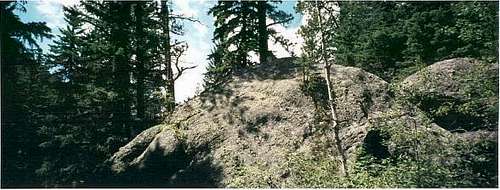
There were some interesting rock formations along the trail.
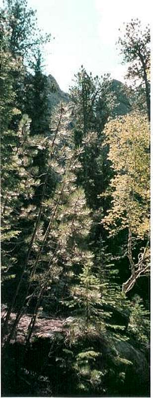
Views started opening up higher on the trail, including the classic view of the summit and summit tower.
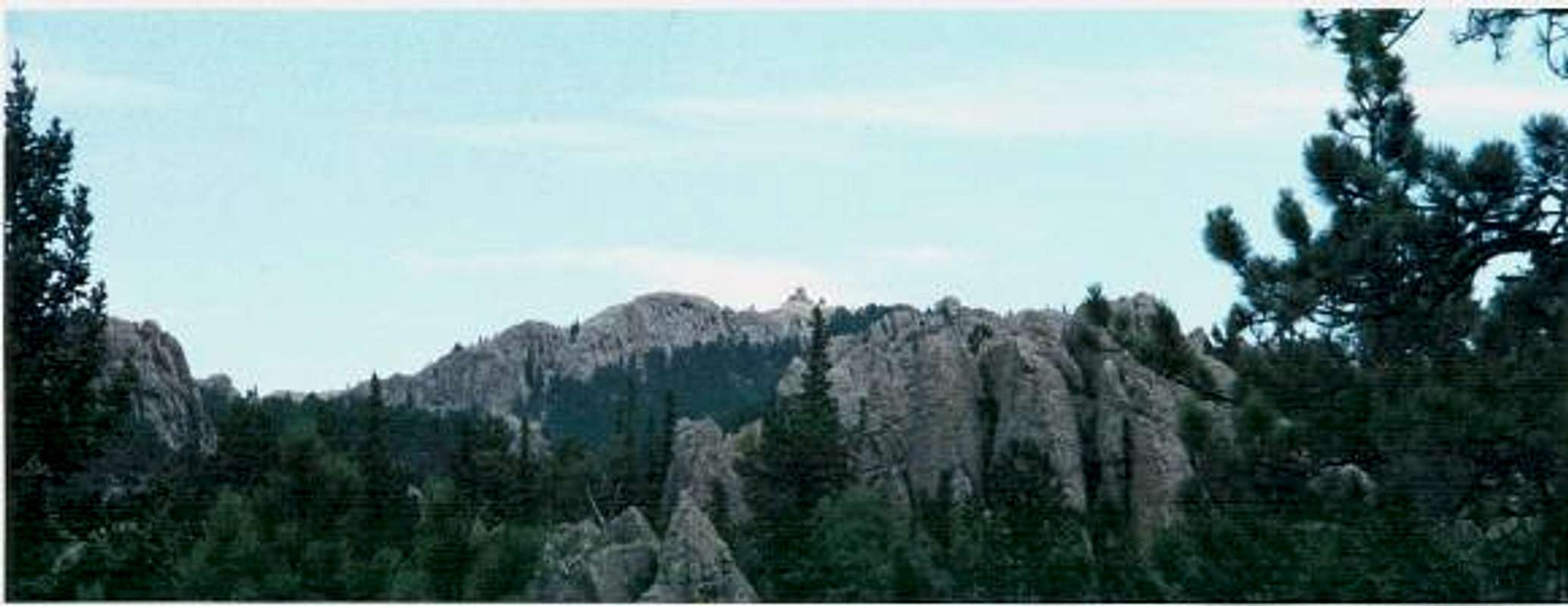
Harney Peak from the trail
There were also interesting open shots of the large rock formations.
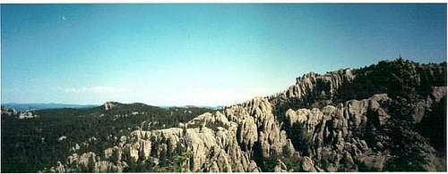
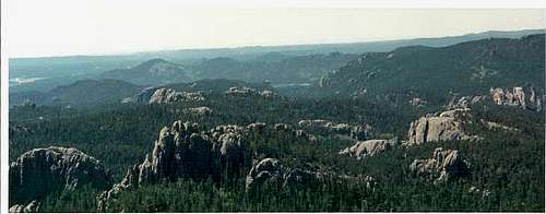
The final stretch to the summit was the steepest part of the hike. Once on top it was really crowded. There are plenty of boulders to scramble down to enjoy the 360 degree views.
[img:34295:aligncenter:medium:]
The whole run/walk to the summit took about 54 minutes.
Conclusion
Overall, this is a pretty fun place to visit. What is interesting about the rock formations in this is area is that they are solid. They aren't boulder fields, although you will find some boulder fields in this region, like in the foreground of Mount Rushmore.
The views on the trail are interesting, with thick Western pine trees and big boulders. The whole area is verdant with lush, fresh forests. After leaving Harney Peak, I found Western South Dakota has a lot to offer in natural beauty. Past the Black Hills, the badlands are colorful and unique.
Comments
No comments posted yet.