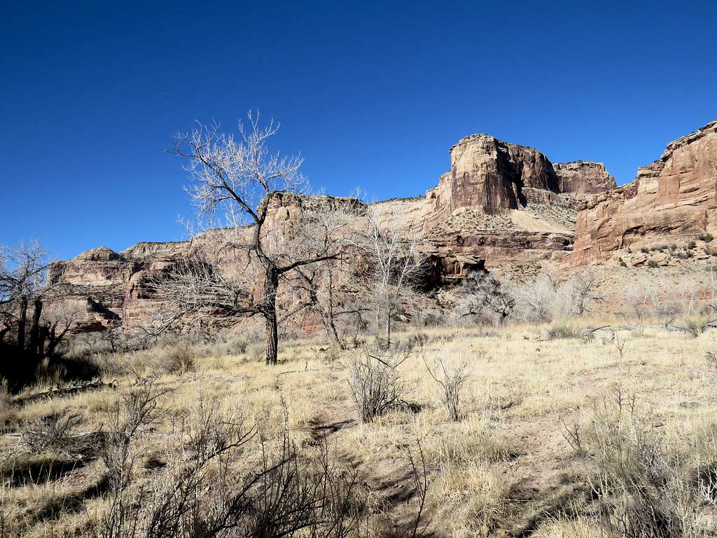
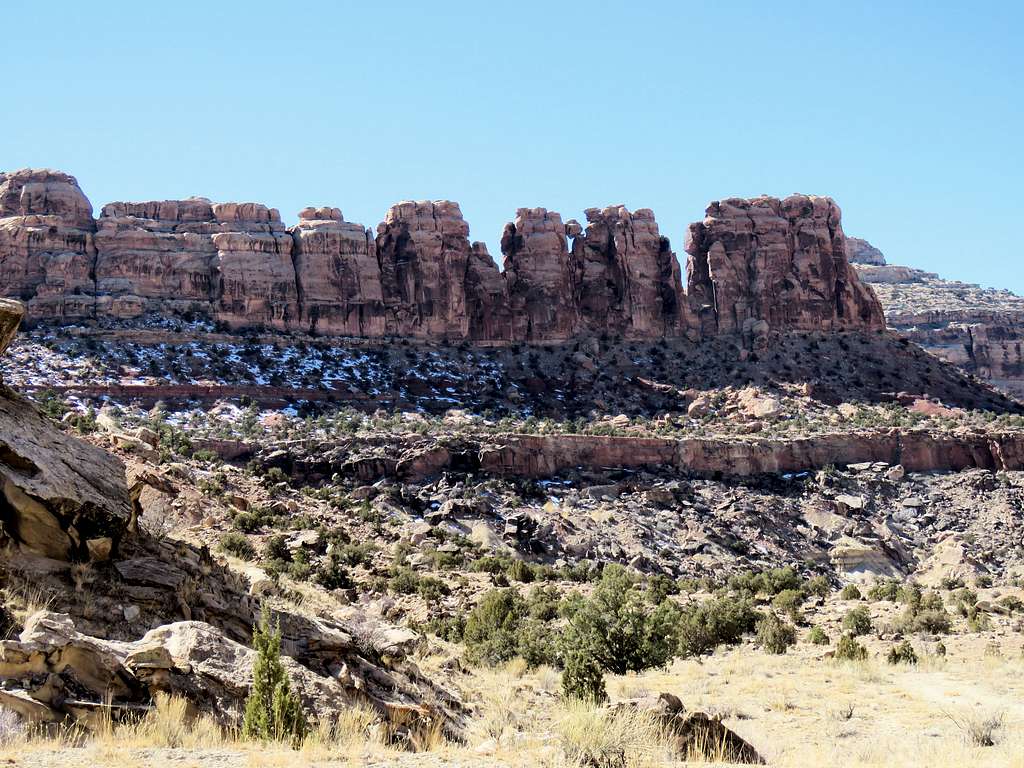
On its way to join Green and subsequent to that, Colorado River, San Rafael River carves a canyon more than a thousand feet deep in central Utah to the east of the town of Castle Dale. Due to its resemblance to Grand Canyon (220 miles away on a straight line and probably more than a thousand river miles away), San Rafael River canyon has been referred to as “Little Grand Canyon”.
A dirt road starts just to the north of Castle Dale and takes you to a spot on the northern rim of the canyon known as “The Wedge”. A branch of the same road goes down into the canyon to cross the river and then continue south to reach I-70. On satellite imagery I had seen what looked like a trail following the southern banks of the river. I started my hike near where the road crossed the river and followed the path west at the bottom of the canyon until after the junction with Good Water Canyon where I had to cross the river. Given the frigid temperatures on the day of my hike, I found it unwise to attempt to cross the river and returned the way I went to create a 9.5 mile roundtrip hike.
Trip Report
Hike Length: 9.5 miles
Minimum Elevation: 5120 ft
Maximum Elevation: 5200
Left the motel in Ferron, Utah at 6:50 a.m. (sunrise around 7 a.m.). It was 18 degrees Fahrenheit. Drove around 14 miles north on Route 10 to just north of the town of Castle Dale. As I kept going, the Jeep’s thermometer kept dropping going down to a minimum of 4 degrees F (minus 15 degrees C). I have had plenty of experience doing short few hours long hikes in the sub-zero F temperatures in the snow-filled forests near my hometown of Janesville, WI. My concern for the day was that I was going alone deep into the wilderness. If something where to happen to me, I would have to survive at least one terribly cold night before I could potentially be rescued (I always leave a detailed map of my hike for my wife). My backpack was filled with warm clothing. Nevertheless, I did not like those temperatures.
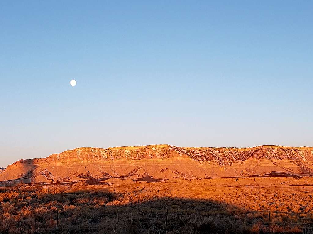
The moon could be seen setting behind the mountains to the west of Route 10.
Moon setting over the mountains to the west of Route 10
North of Castle Dale, turned east onto the dirt road that was marked only as San Rafael Wilderness access. The road was actually well-graded. It went over a flat desert plain. The low sun was shining directly into my eyes making it hard at times to see what I was driving into. Behind me, I could see columns of steam from a power plant rising into the frigid air.
Steam from power plant in frigid air
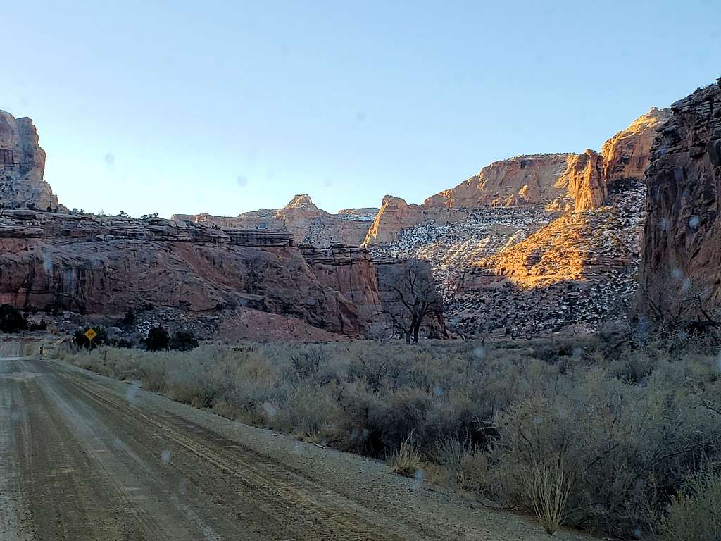
After some 15 miles, the dirt road went into a drainage that quickly turned into a deep canyon. Temperatures were fortunately slowly rising.
Driving down to San Rafael River
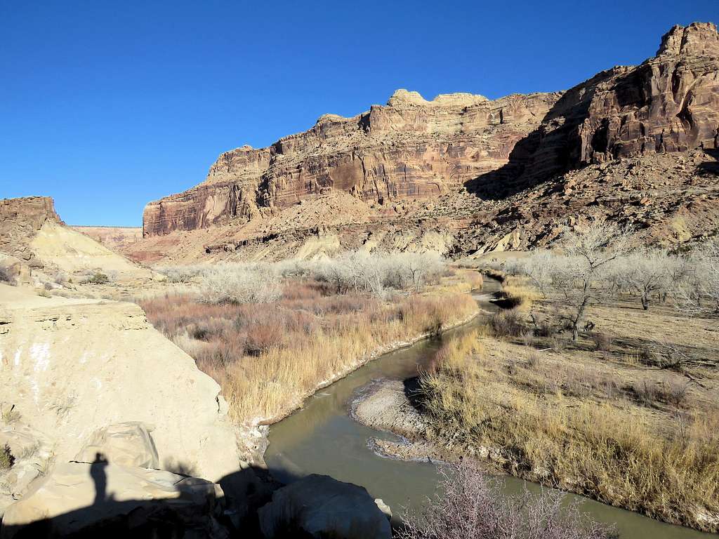
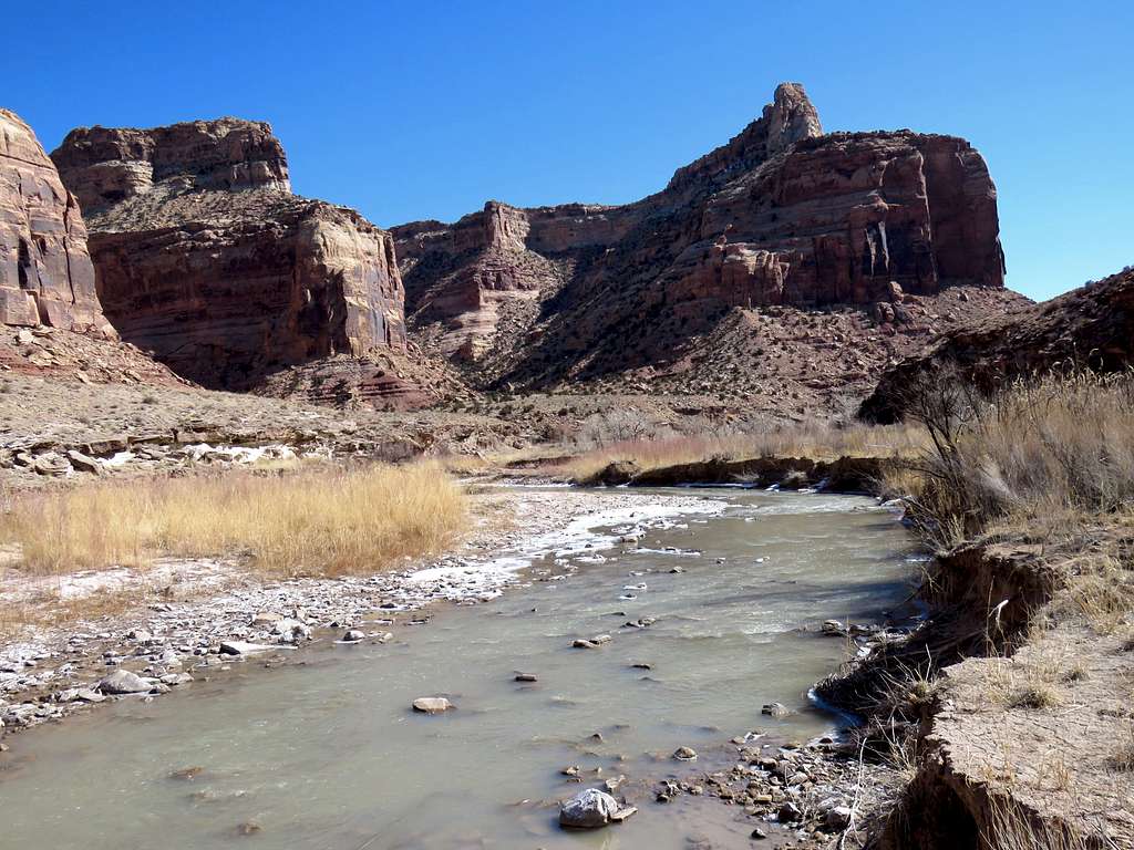
25 miles from start of the dirt road, the canyon suddenly opened up and I drove over a bridge to the south side of San Rafael River. Turned onto a side road on the west side of the main road (that I had seen on satellite imagery) and went a mile to reach the start of my hike. No one was there. In fact I did not see any other hikers until near the end of my hike when I was back close to the trailhead. It was sunny and 24 degrees F.
Start of the hike
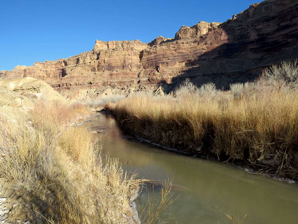
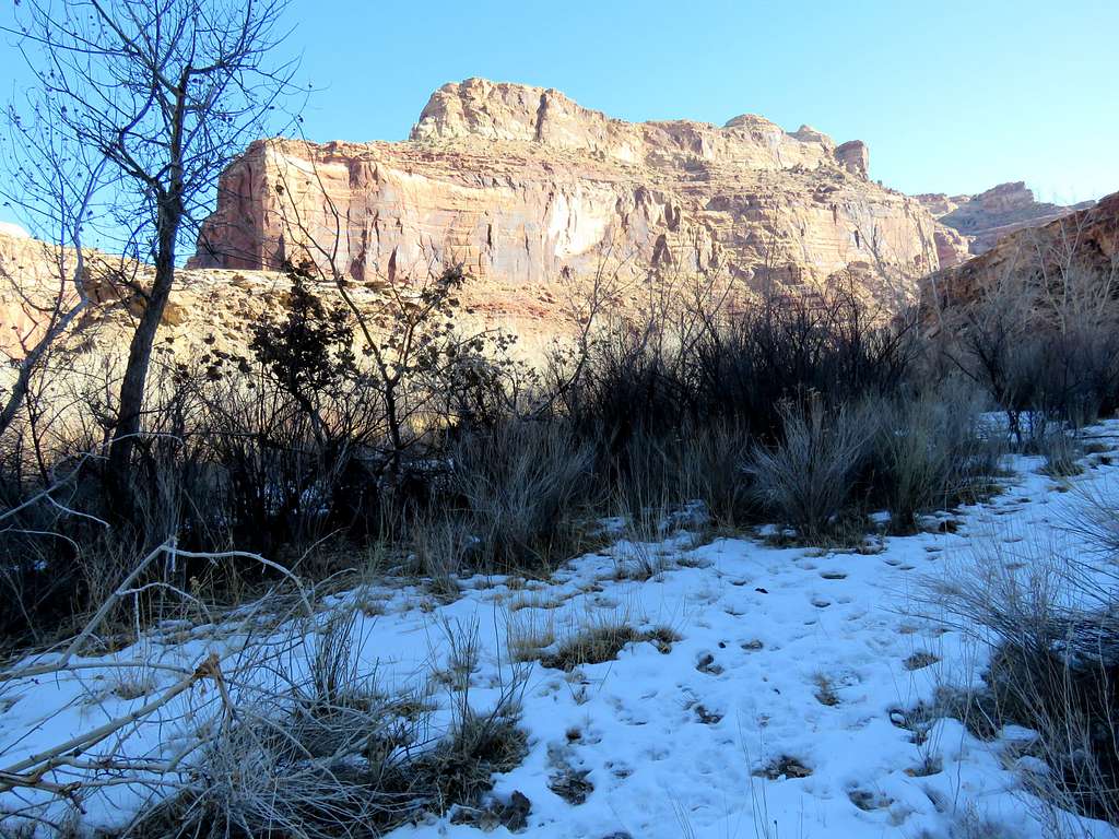
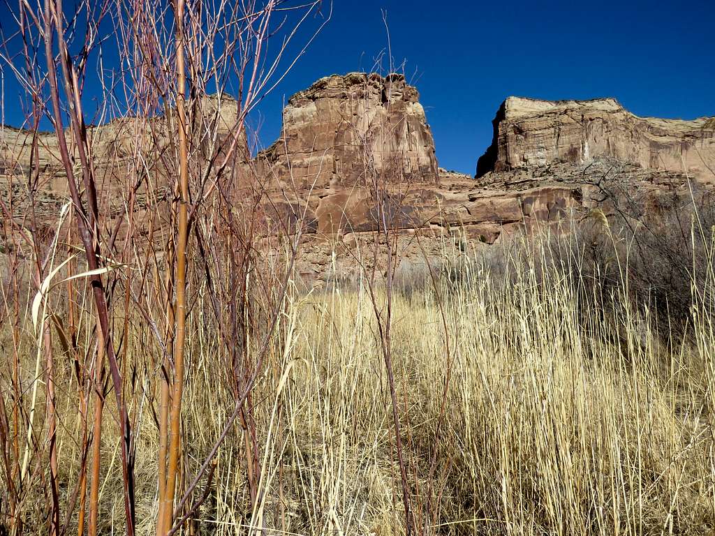
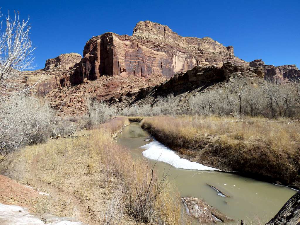
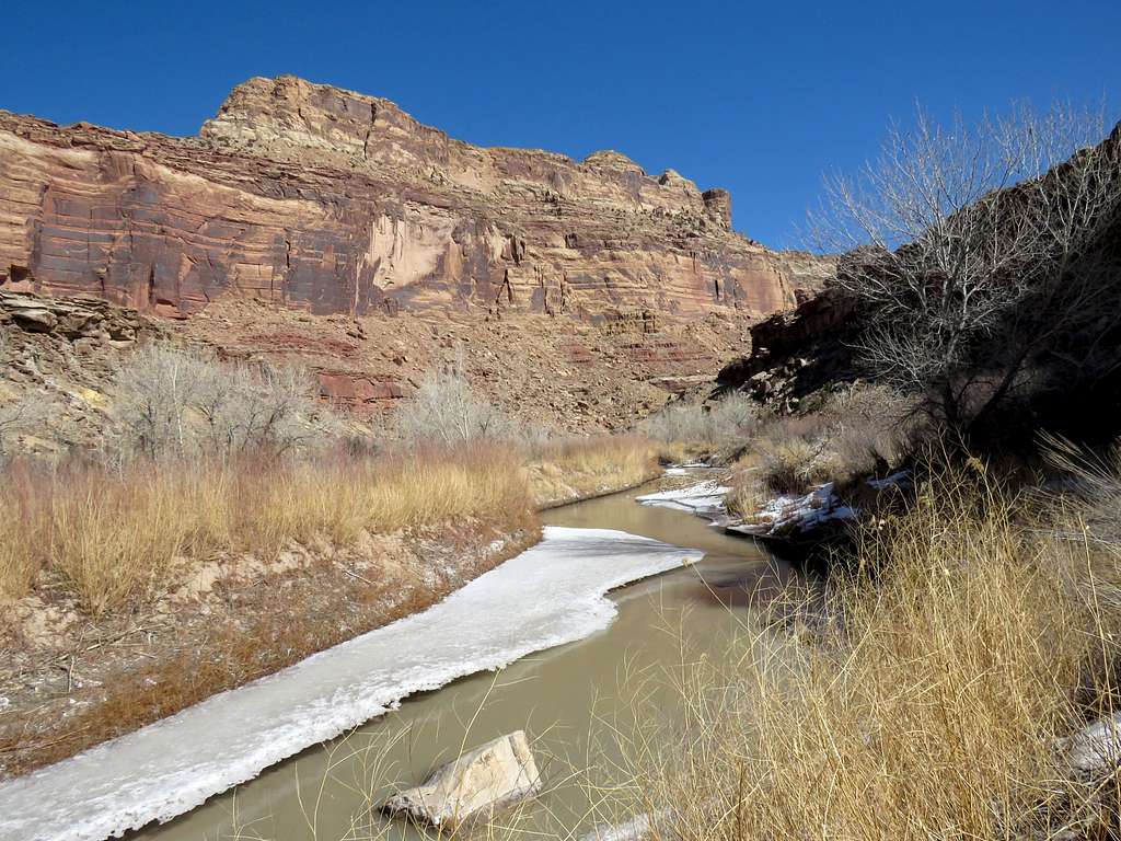
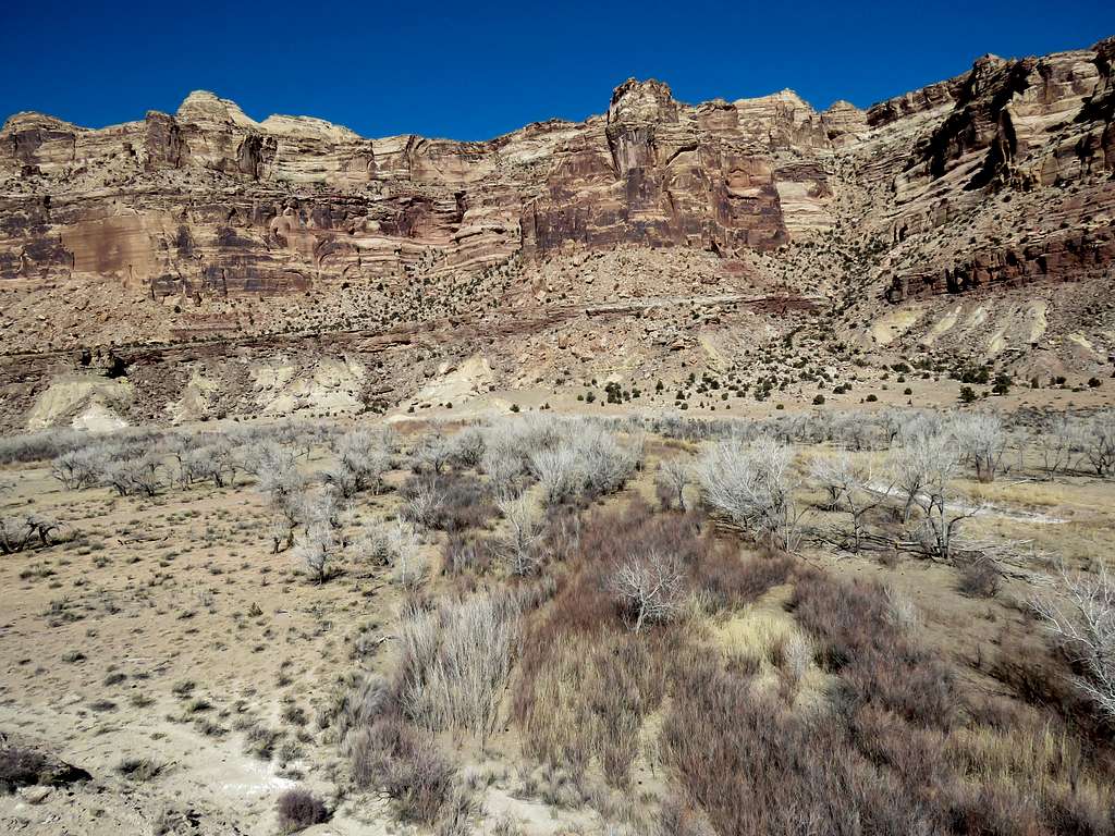
Started my hike at 8:10 a.m.Headed west on the trail that entered the canyon and followed the San Rafael River to the south of it at the bottom of the canyon.
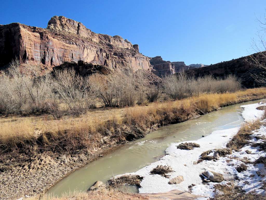
Slopes of Point 6690 ftSan Rafael River
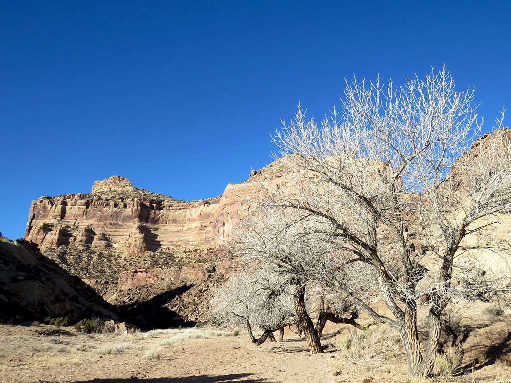
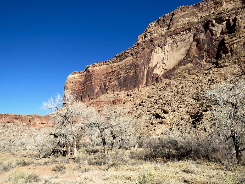
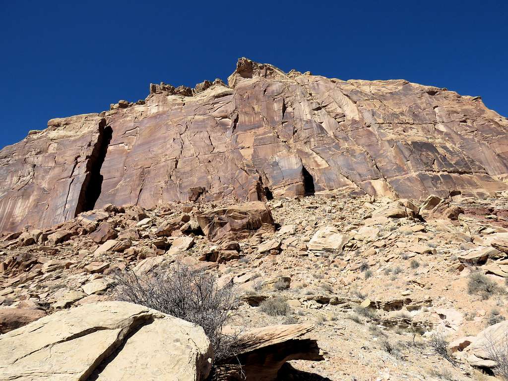
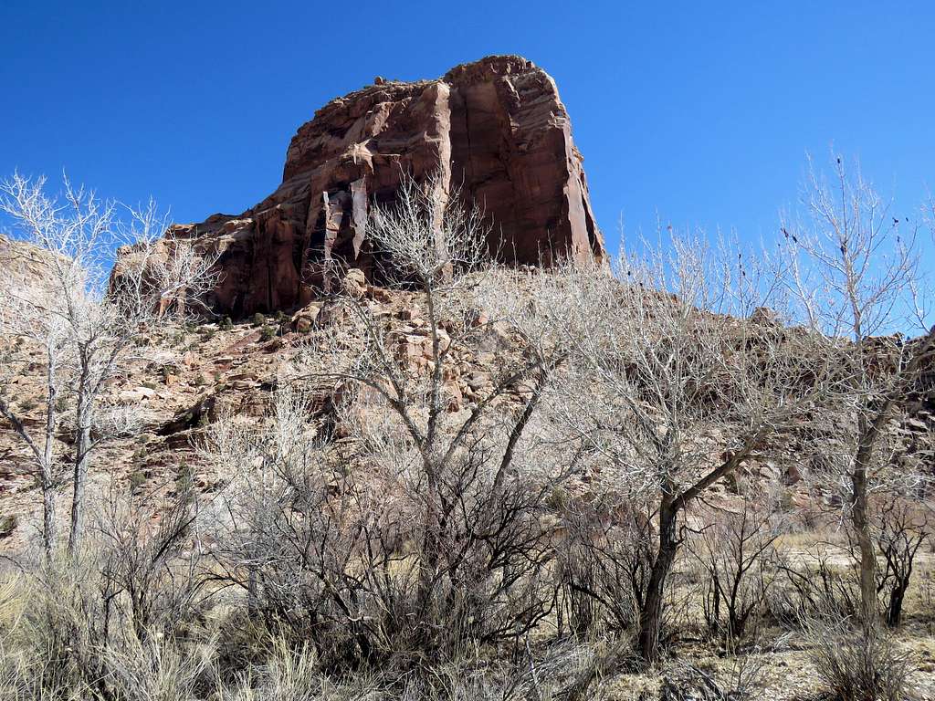
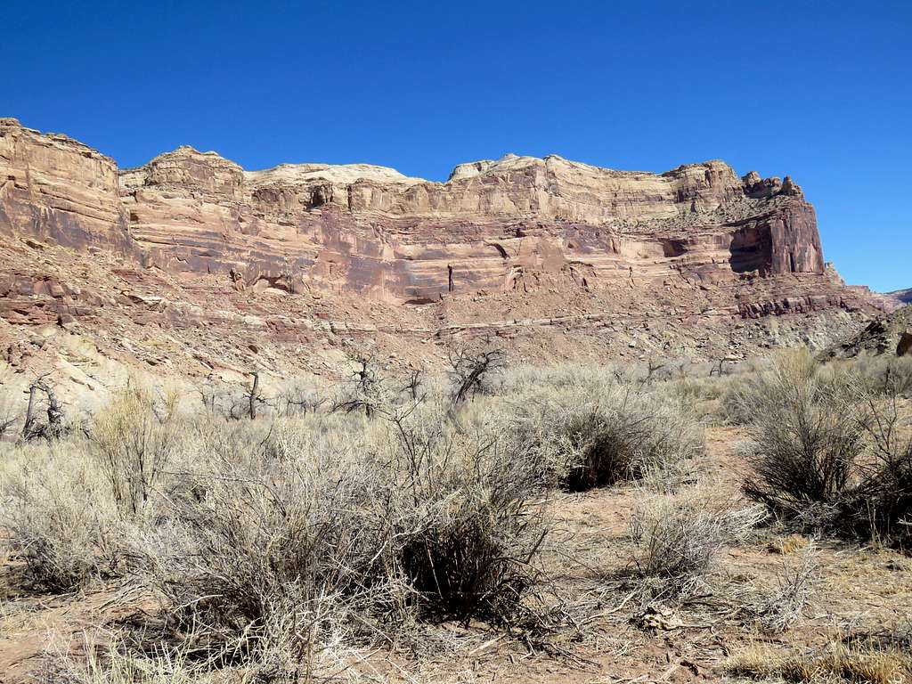
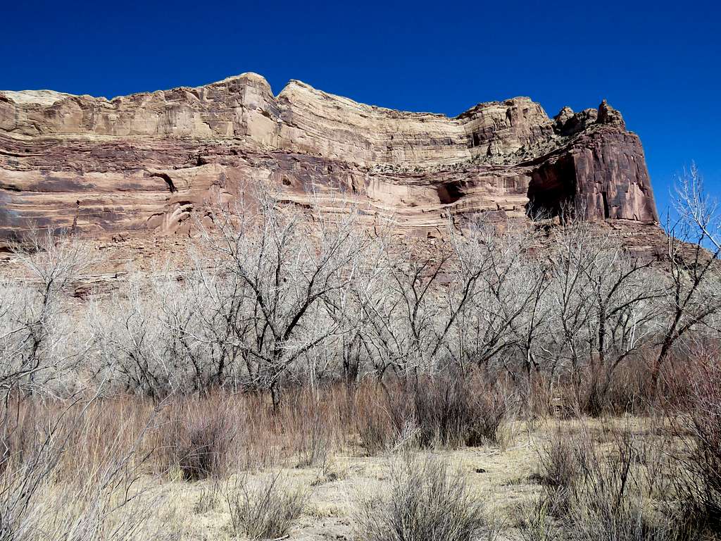
Interesting wall.
Interesting
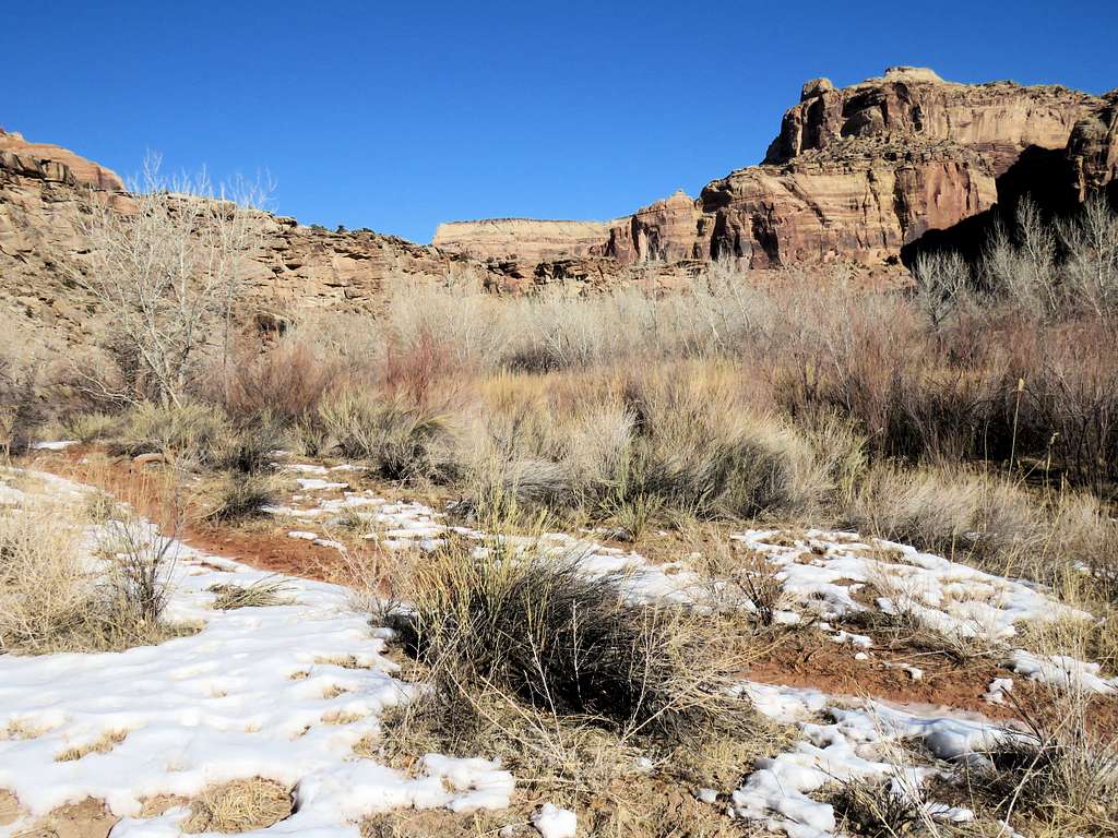
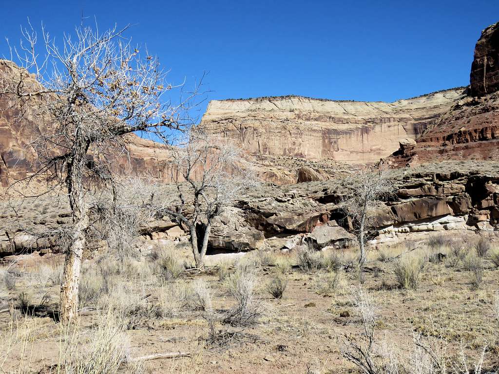
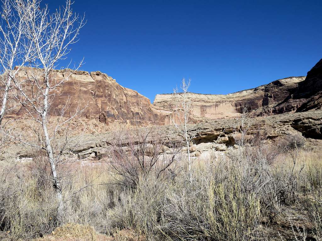
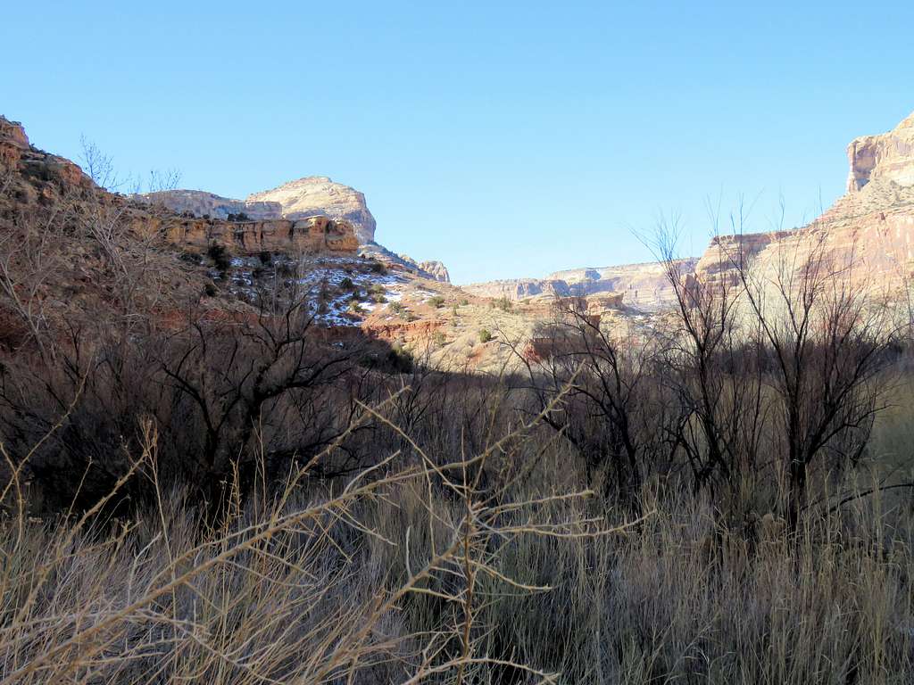
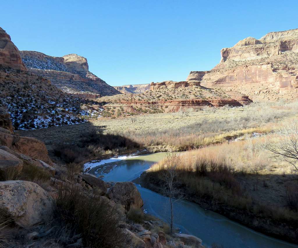
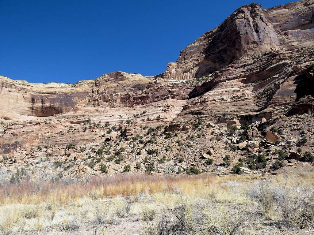
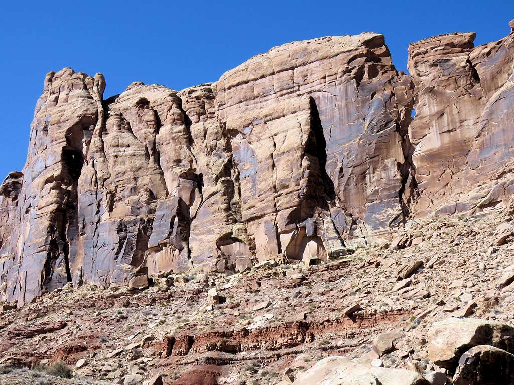
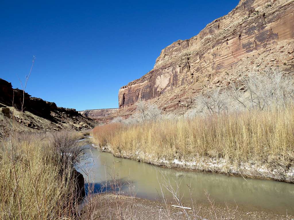
The trail sometimes went by the river and at other times followed the river from a distance.
CanyonCanyonCanyon
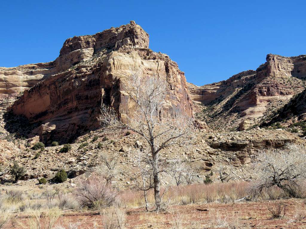
Point 6095 ft at the junction of the first side canyon.
Point 6095 ft
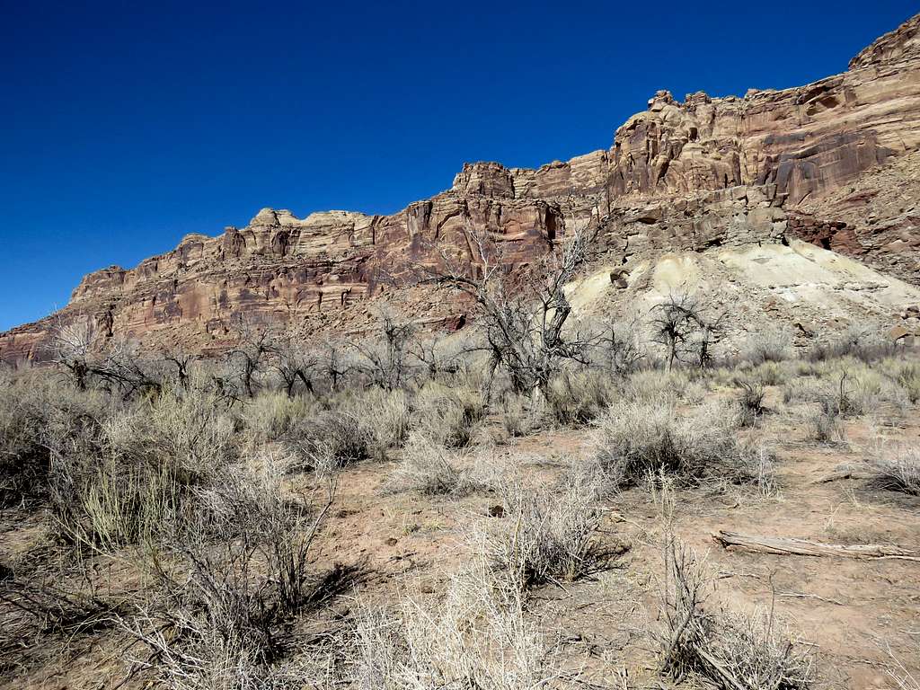
After the first side canyon.
Canyon
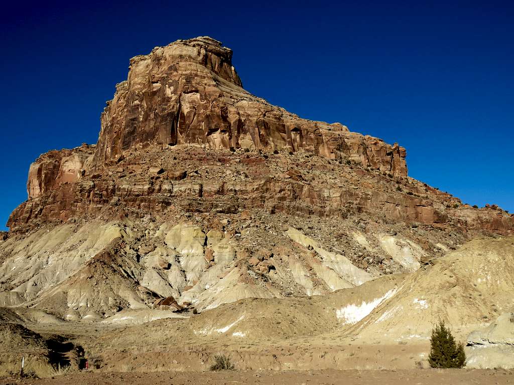
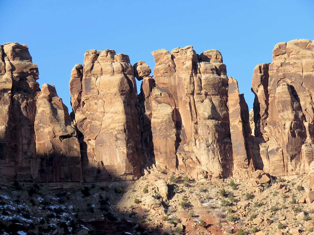
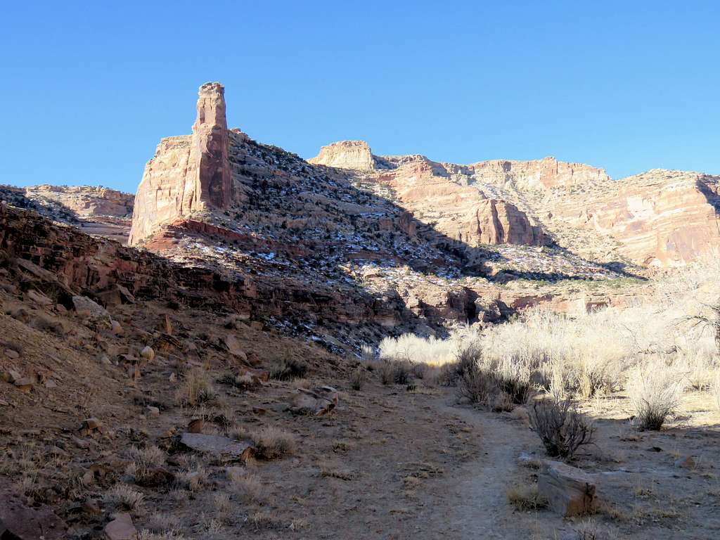
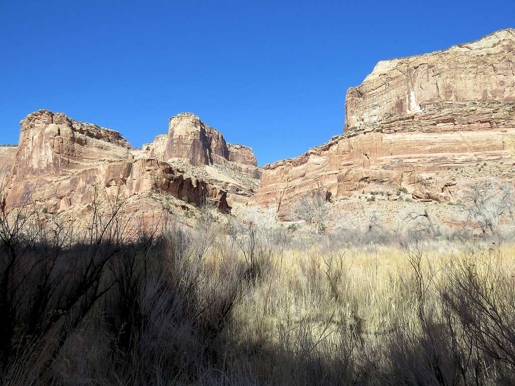
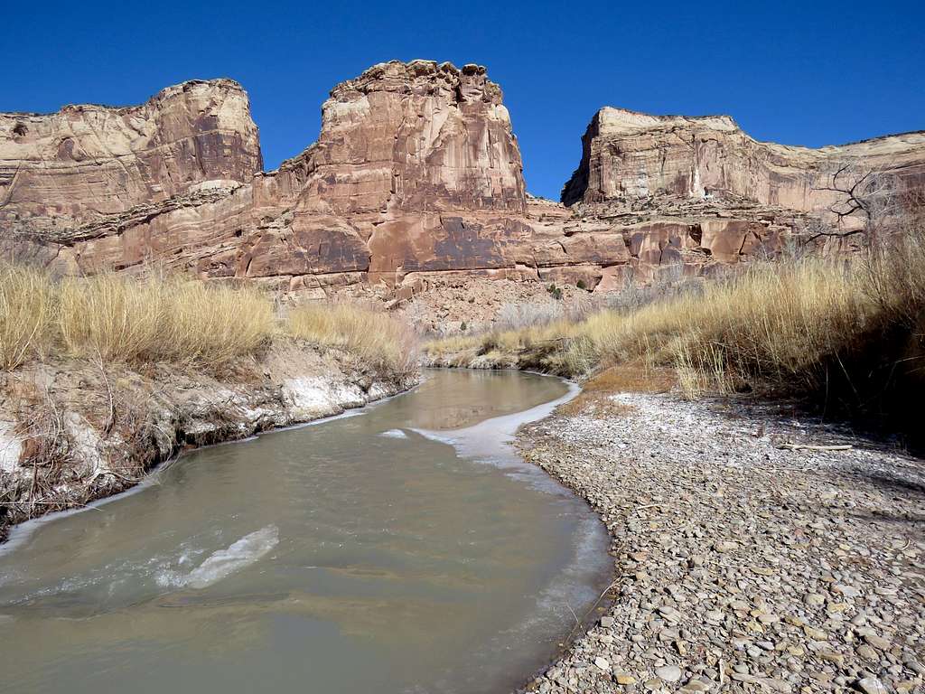
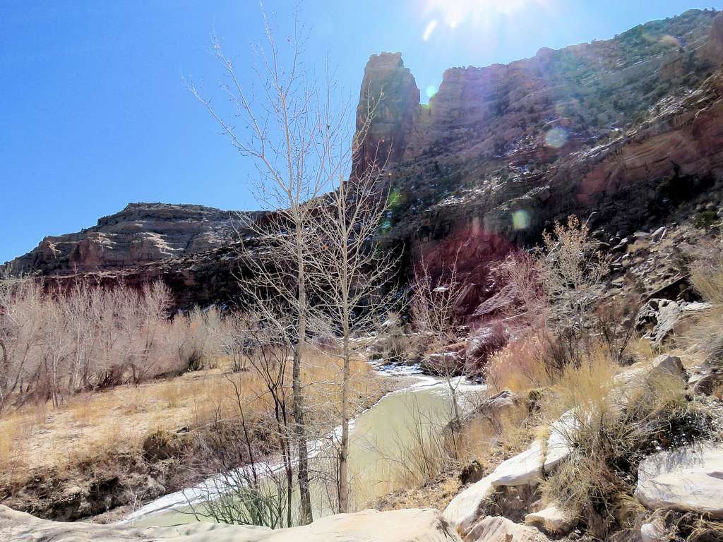
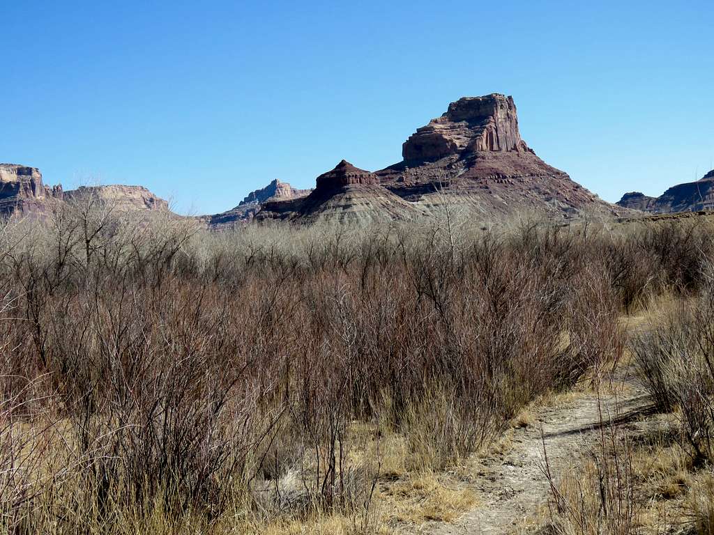
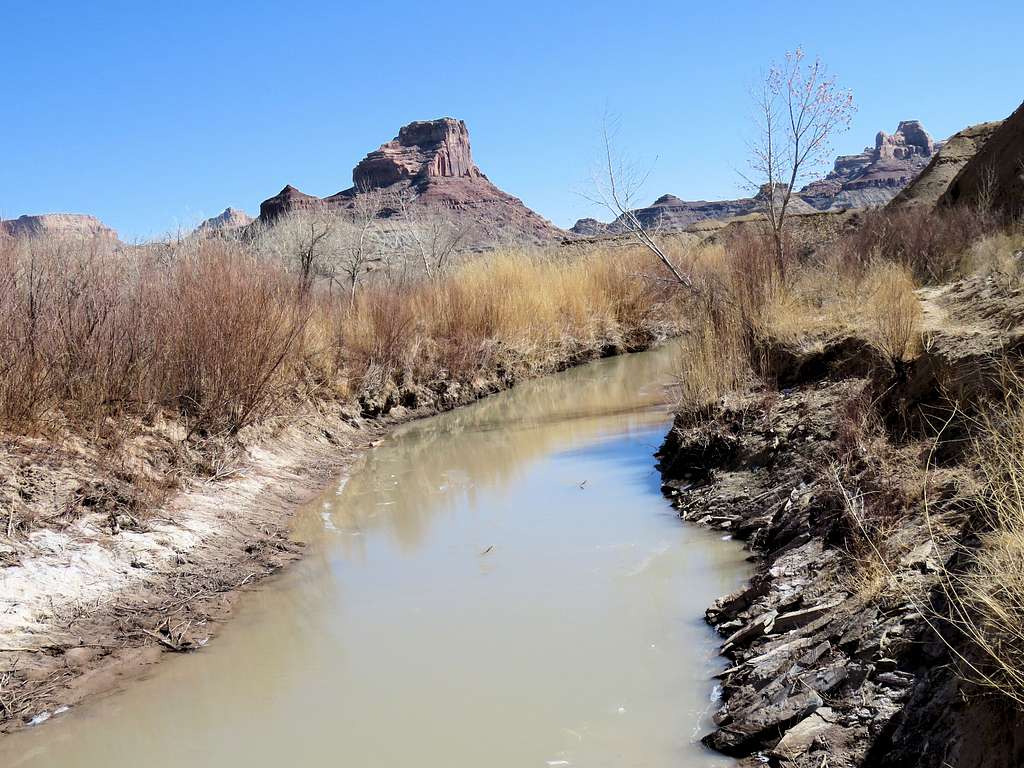
This impressive tower appeared at a big bend in the river. On the USGS Map, I identified it as a tiny spot with contour lines of 5800-5840 ft so I called it the 5820 ft Tower.
5820 ft tower
Into the shade and then sun again.
CanyonCanyonSan Rafael River
Another look at the 5820 ft tower.
5820 ft tower
Strange rock.
Canyon
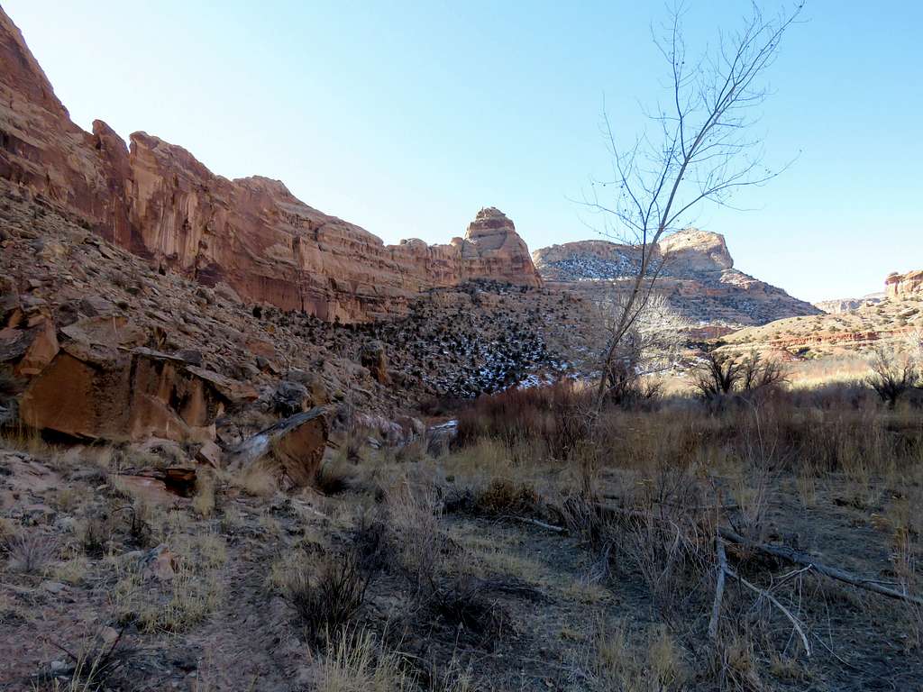
Junction with Cane Wash.
Point 5860 ft
By 9:30 a.m. I had been in the sun for a while and there had been no wind. I felt warm enough to take off my jacket, wool hat and ski gloves. Put on the cowboy hat.
CanyonCanyon
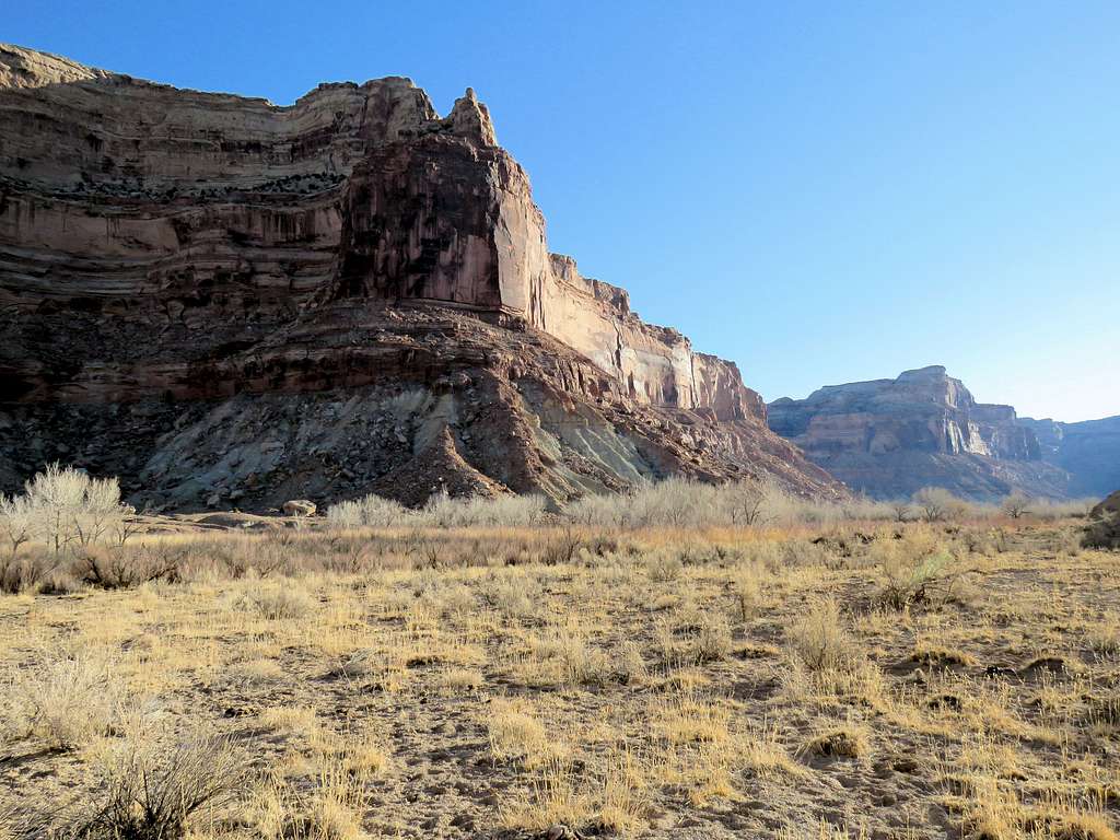
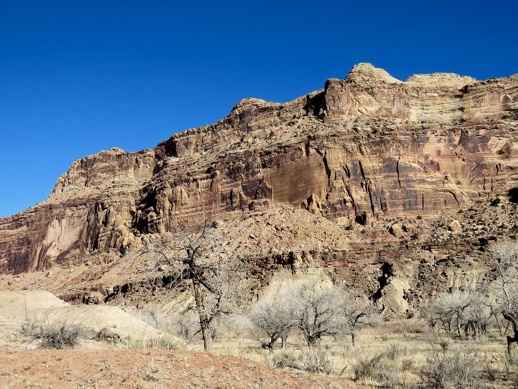
After exactly 4 miles of hiking I reached some type of a barrier which I assumed was to prevent horses from going any further (I had seen a lot of horse droppings on the trail). Had no problem continuing to hike beyond the barrier (and the horse droppings continued). I knew I was on the eastern side of a goose neck bend in the river and would soon make a 180 degree turn to be hiking on the west side of the wall that rose to my west.
Points 6325 ft and 5860 ftCanyon
Followed the river around a 180 degree turn and went into the shade. A little bit of wind began to blow making me feel very cold but thought it was too much of a hassle to pull the warm clothing out of the backpack again so kept going hoping to reach sunny areas soon.
CanyonCanyonPoint 5780 ft
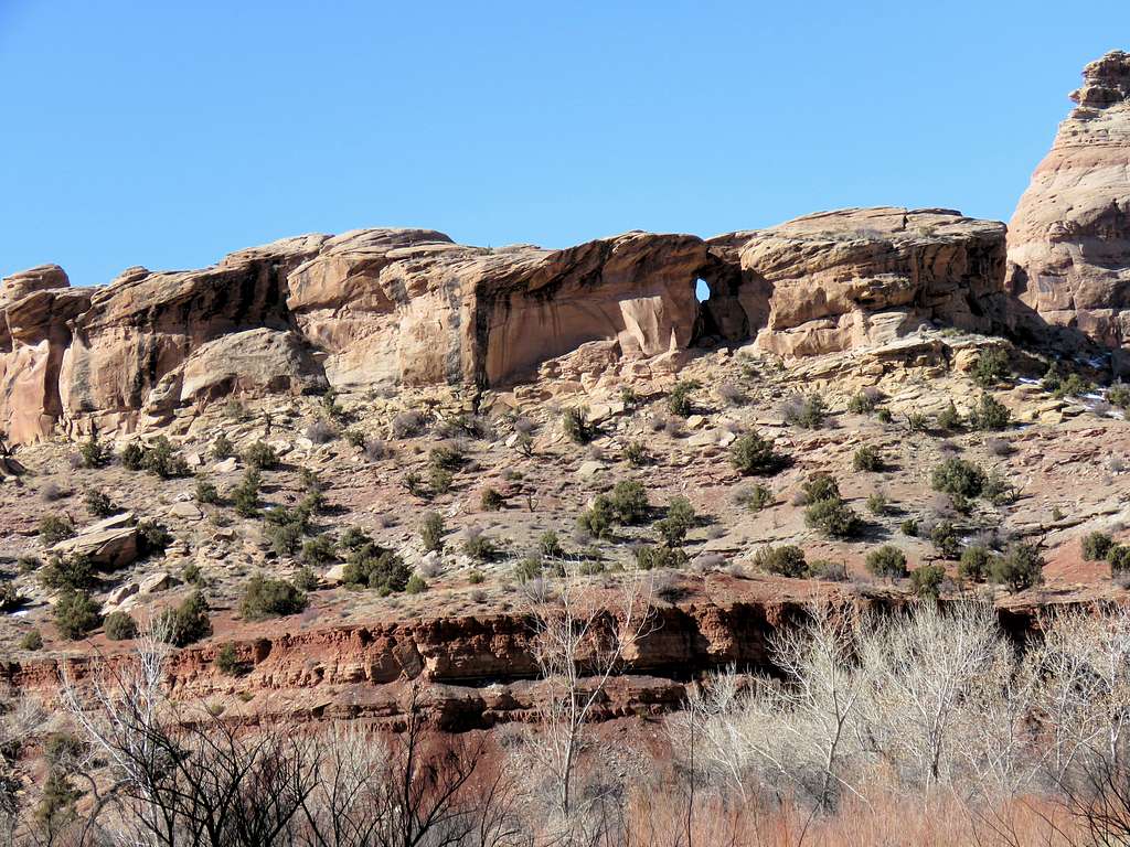
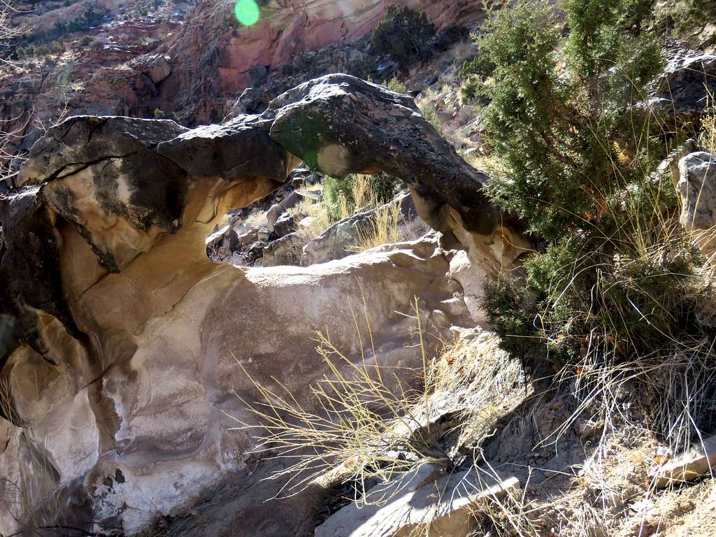
Zoomed view of an arch.
Arch
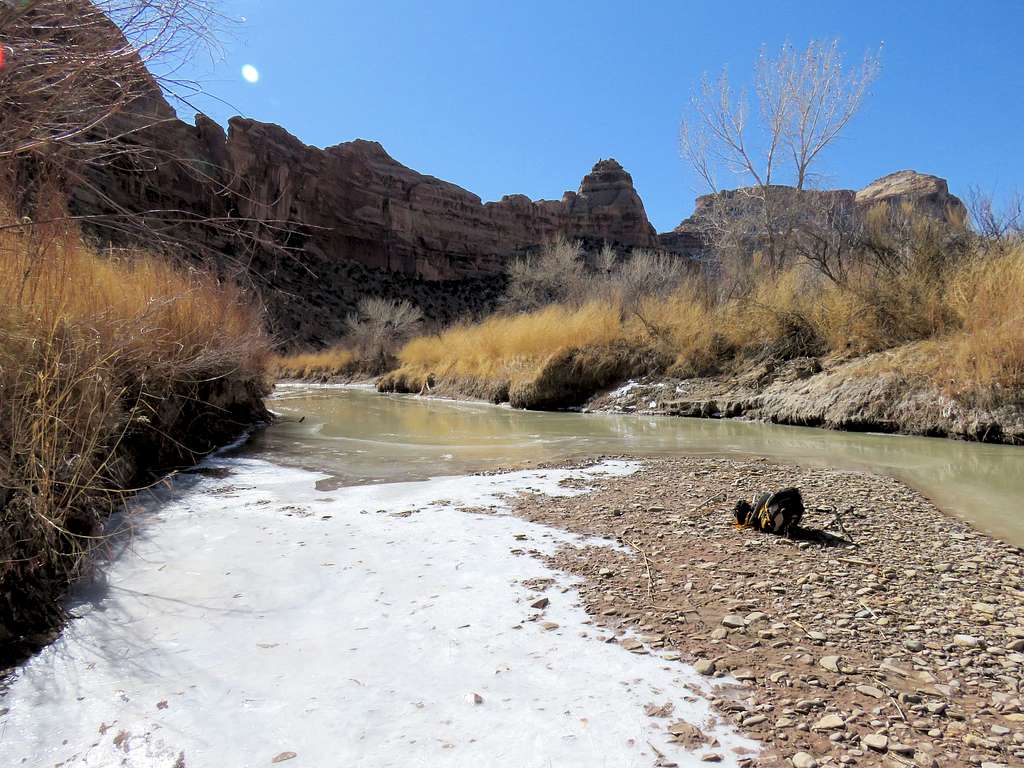
I soon reached an area where I had to cross the river. I did not find a good place to do so and given the frigid temperatures, I told myself to not even think about it. To stay on the same side of the river, I had to go up and traverse a talus slope. I did go up the slope some 40 vertical feet or so but then thought that there was no point in trying to go further. I needed to find a good place by the river to rest and have my lunch.
From the talus slopeFrom the talus slopeFrom the talus slope
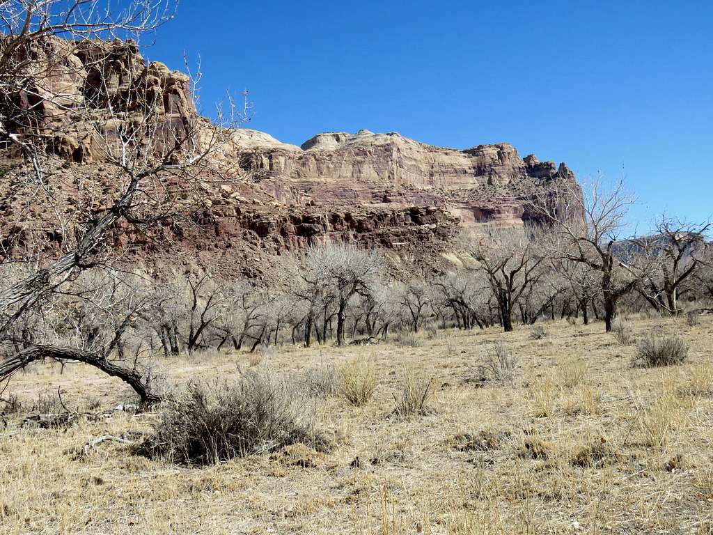
Went down the slope onto a beaten path among the tall grass.
Tall grass
Found a perfect sand and gravel bar in the river where I sat to put on warm clothes again and rest. It was 10:43 a.m. and I had hiked 4.88 miles.
Where I had lunchWhere I had lunch
Left at 11:00 a.m. and began to go back the way I had come. View of the northern end of the wall at the goose neck bend of the river.
At the goose neck bend
When I reached the horse barrier, I found this little opening which I had not noted when I was hiking up the canyon earlier in the morning.
Near the barrier
Down the canyon.
CanyonPoint 5860 ftPoint 6485 ft
Wall at the goose neck bend.
Wall at the goose neck bend
Hole in the wall.
Hole in the wall
East of Cane Wash.
Point 6485 ftCanyonCanyonPoint 6485 ft
5820 ft tower again.
5820 ft tower
I had not noted this arch on my way up the canyon.
Arch
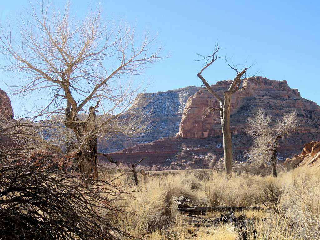
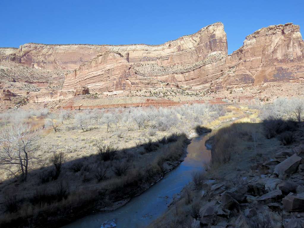
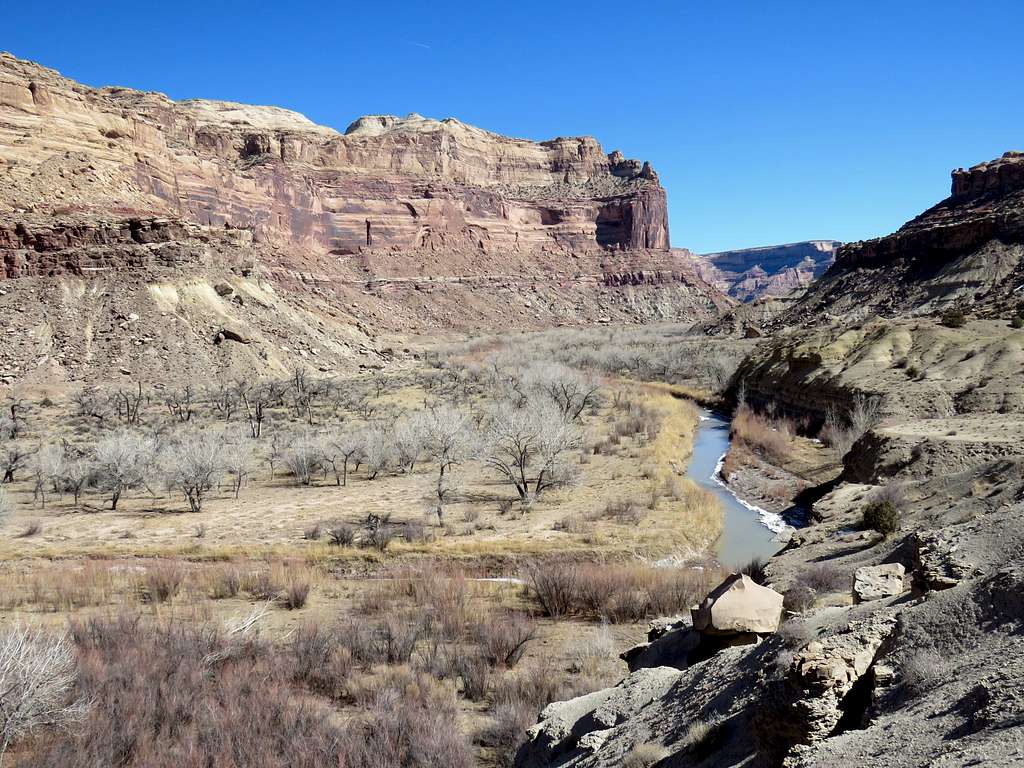
Continuing down the canyon.
San Rafael RiverSan Rafael RiverCanyonCanyonCanyonPoint 6690 ftCanyon
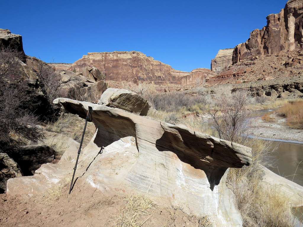
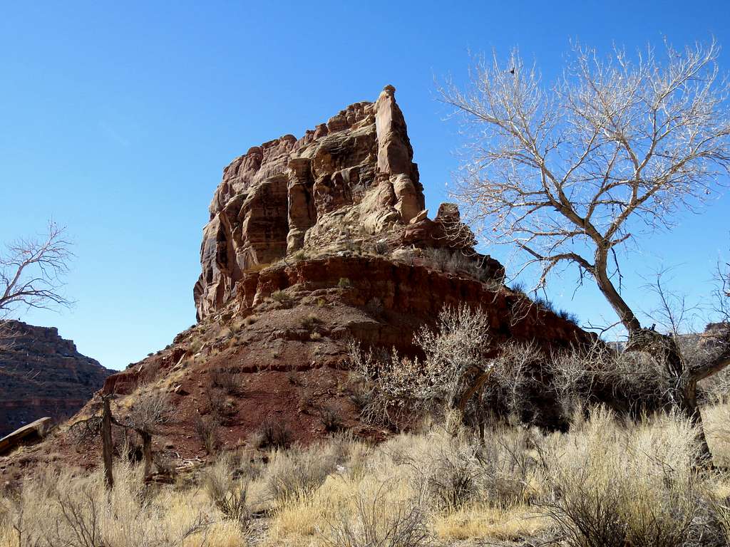
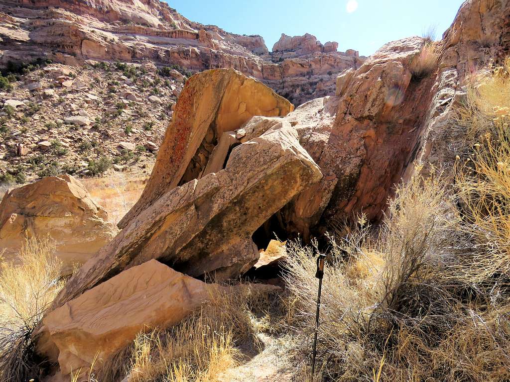
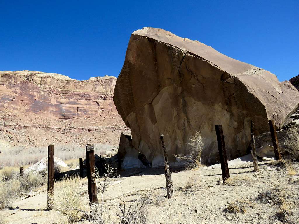
I had seen this big boulder and the posts in the morning. There was no sign telling me what this was.
Huge boulder
The interesting wall again.
Interesting wall
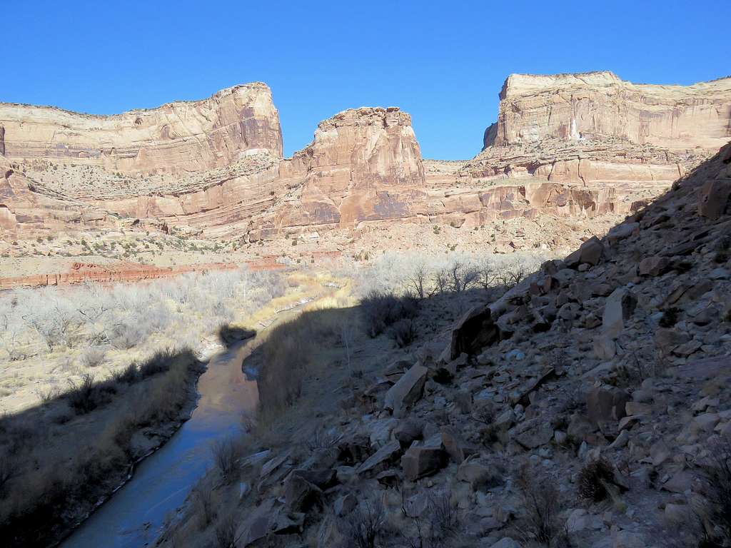
Ran into a couple walking up the canyon and later a single person.
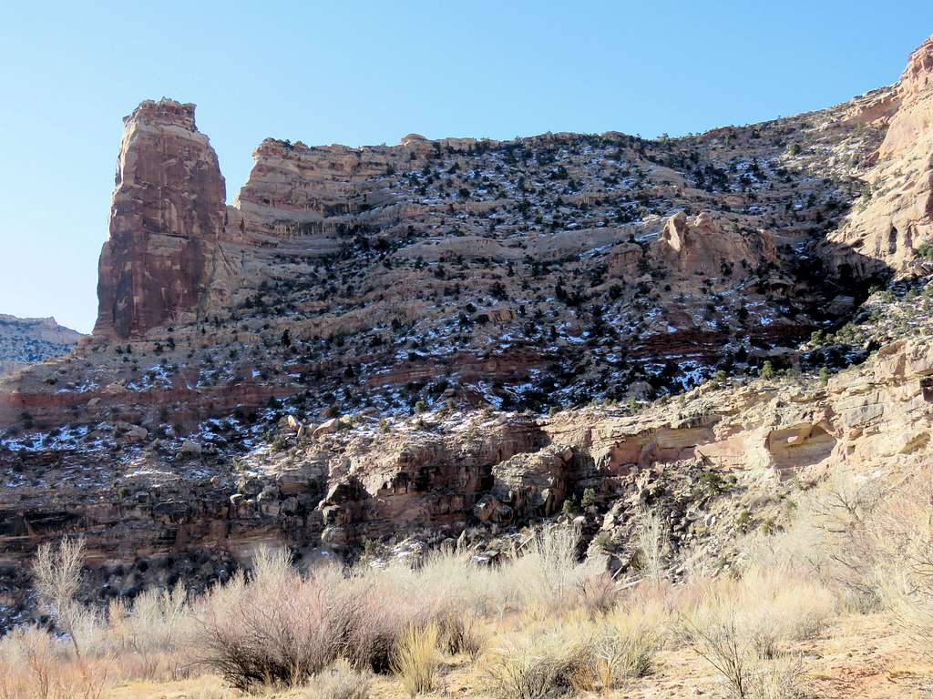
Assembly Hall PeakPoint 6690 ftWindow Blind & Assembly Hall Peaks
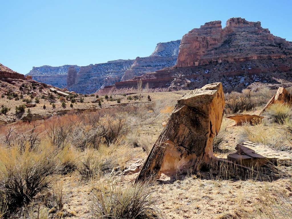
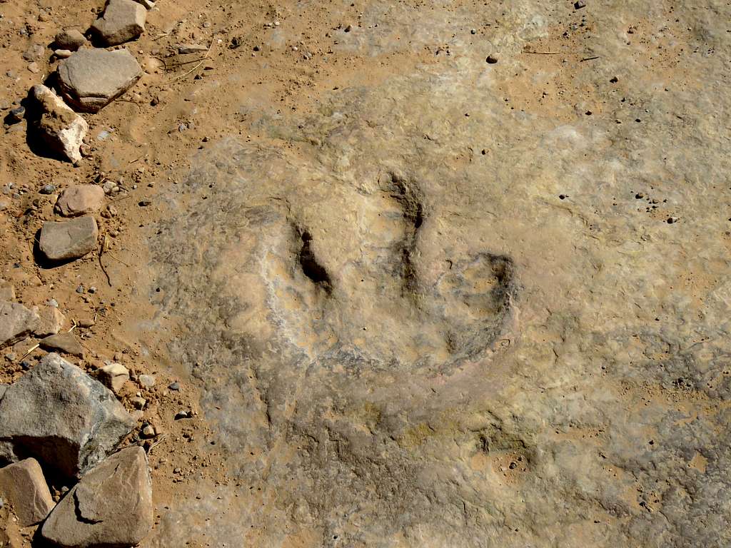
Reached my Jeep at 1:13 p.m. Temperature had risen to 37 degrees F. Driving back up the road, I stopped at a signed place and hiked a short distance to reach the dinosaur foot print.
Just in case you are interested, you can hike all the way past Virgin Spring Canyon without crossing the river.
If you go up Cane Wash a short distance (maybe 1/4 to 1/3 of a mile) there is a faded trail going through a notch on the right that leads you back down to the river. It avoids the river crossing that you turned back at. If you take that notch route it's smooth sailing with no river crossings all the way to Virgin Spring Canyon.
Thanks for the info. I think I can see the notch on the map. Maybe in retirement, if I still have the stamina, I will go back to do many of my hikes again.
Parents refers to a larger category under which an object falls. For example, theAconcagua mountain page has the 'Aconcagua Group' and the 'Seven Summits' asparents and is a parent itself to many routes, photos, and Trip Reports.


Comments
Post a Comment