
-
 1492 Hits
-
 75.23% Score
-
 6 Votes
|
|
Mountain/Rock |
|---|---|
|
|
35.90218°N / 51.39596°E |
|
|
Shahrakestan Shemiran |
|
|
Summer |
|
|
12320 ft / 3755 m |
|
|
Overview
Sarbaz Peak is part of the Alborz’ Tochal ridge north of Tehran. Sarbaz means “soldier” in Persian (Farsi). Maps produced by the Ghitashenasi Geographical & Cartographic Institute such as the Guide Map for Climbing the Peaks of Central Alborz issued in 1999 and the Atlas of the Shemiran Subprovince of 2002 chart Sarbaz Peak at 3.755 m.
Getting There
At the top of the steep Velenjak Blvd in northern Tehran, there is an asphalted promenade leading to the ‘Tochal Telecabin’ cable car station at 1.900 m. Fromthere you can either use the cable car or hike the dirt road (not recommended in summer) to the cable car terminal situated at 3.746 m. Beyond and 200 m below the terminal you will see the Tochal Hotel, half Ski resort and half mountain hut, situated at 3.550 m. If the nearby ski lift is running you can use it to reach the hotel. Sarbaz Peak can be accessed from there.
Route Description
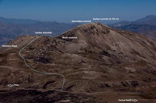
Sarbaz Itinerary
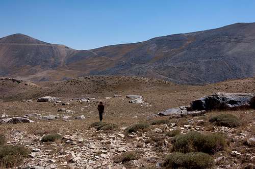
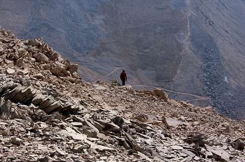
Start from the northern side of the hotel, beyond the workshop and personnel facilities and take the trail to the pass West of the Hotel for a few hundred yards (I did not measure unfortunately) before turning North West cross country towards the preceding hills. On the way you will have noticed cairns on a hilltop to the North. I do not believe they serve as a reference point for Sarbaz climbers. We took several gentle passes between the hills heading NNW until we reached the steep wall plunging into the valley to the West.
Sarbaz NNW approach
Sarbaz' steep West Face
You have no choice but to turn North where you face a slightly steeper hill which is but a shoulder of Sarbaz. Follow the ridge up this shoulder.
Sarbaz shoulder
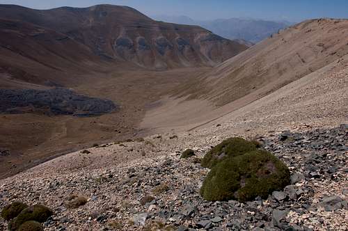
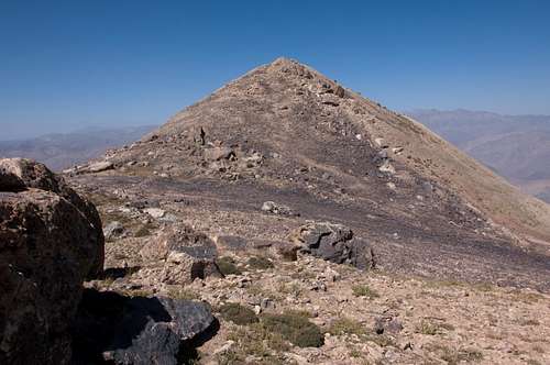
You will run into interesting looking huge boulders strewn across the landscape. Then, still heading north, it is downhill and across what looks like a cast of black moraine on to the next slope, much steeper this time, leading to the jagged ridge on the Sarbaz secondary summit. At this point the hike changes and one has to brave boulders requiring sturdy mountain boots. My altimeter measured the secondary summit height at a mere 2 m below the actual summit.
Sarbaz Secondary Summit
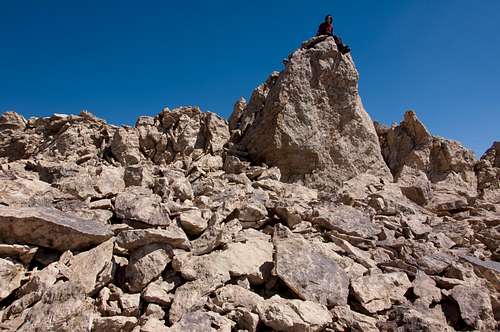
Sarbaz Secondary Summit
But down it goes again and across yet another cast of black moraine before reaching the last slope leading to the summit.
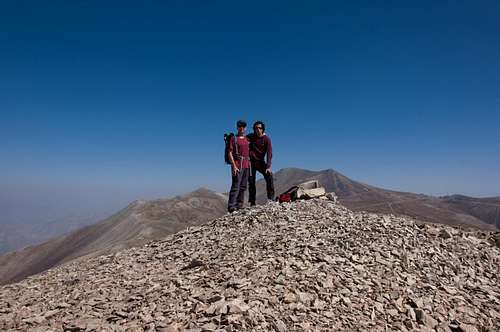
Sarbaz summit with Ghezghoonchal (left) and Tochal (right)