
|
|
Mountain/Rock |
|---|---|
|
|
38.95417°N / 106.497°W |
|
|
Chaffee |
|
|
Mountaineering |
|
|
Summer |
|
|
13255 ft / 4040 m |
|
|
Overview
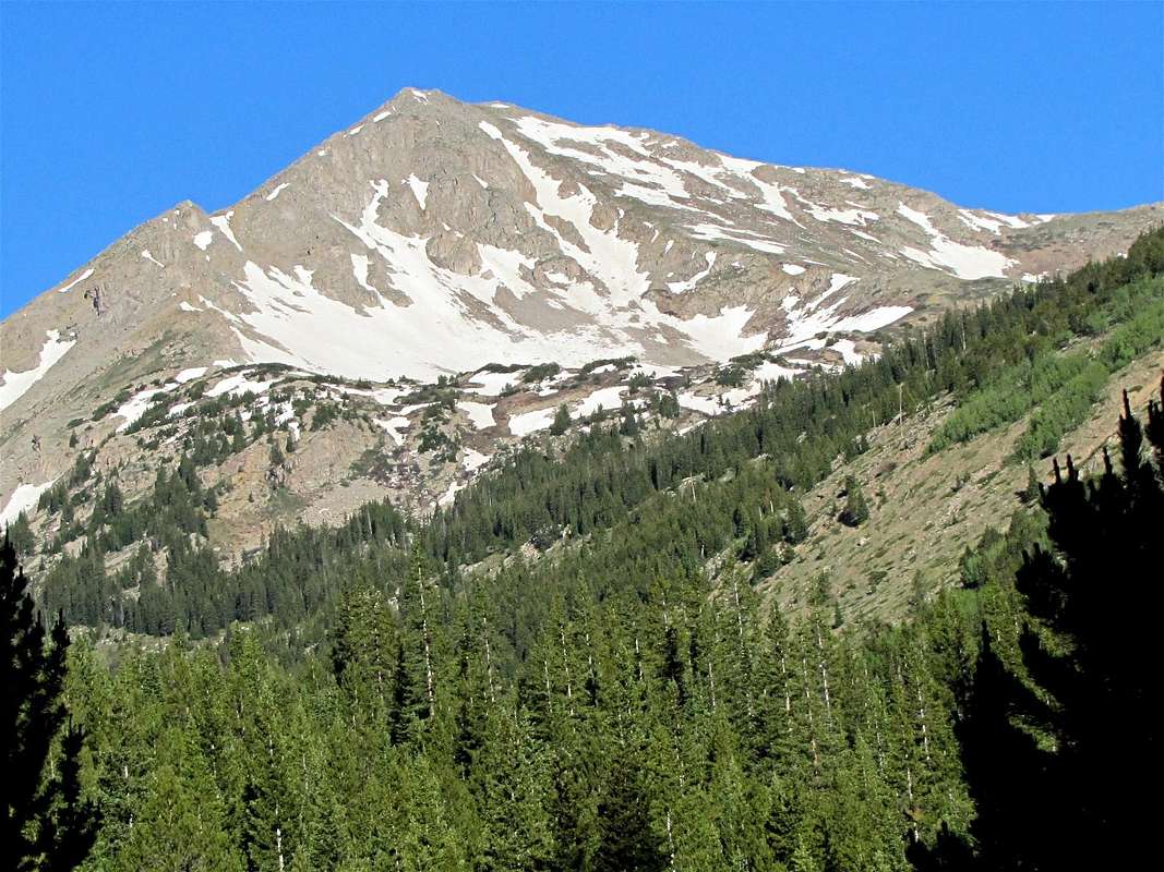
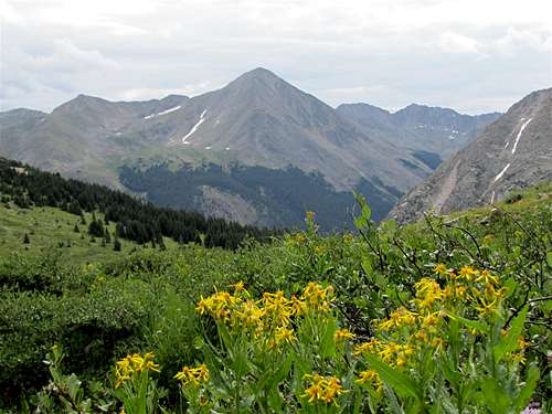
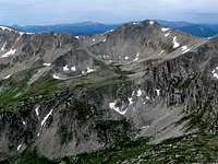
East face of Sheep Rock Mountain
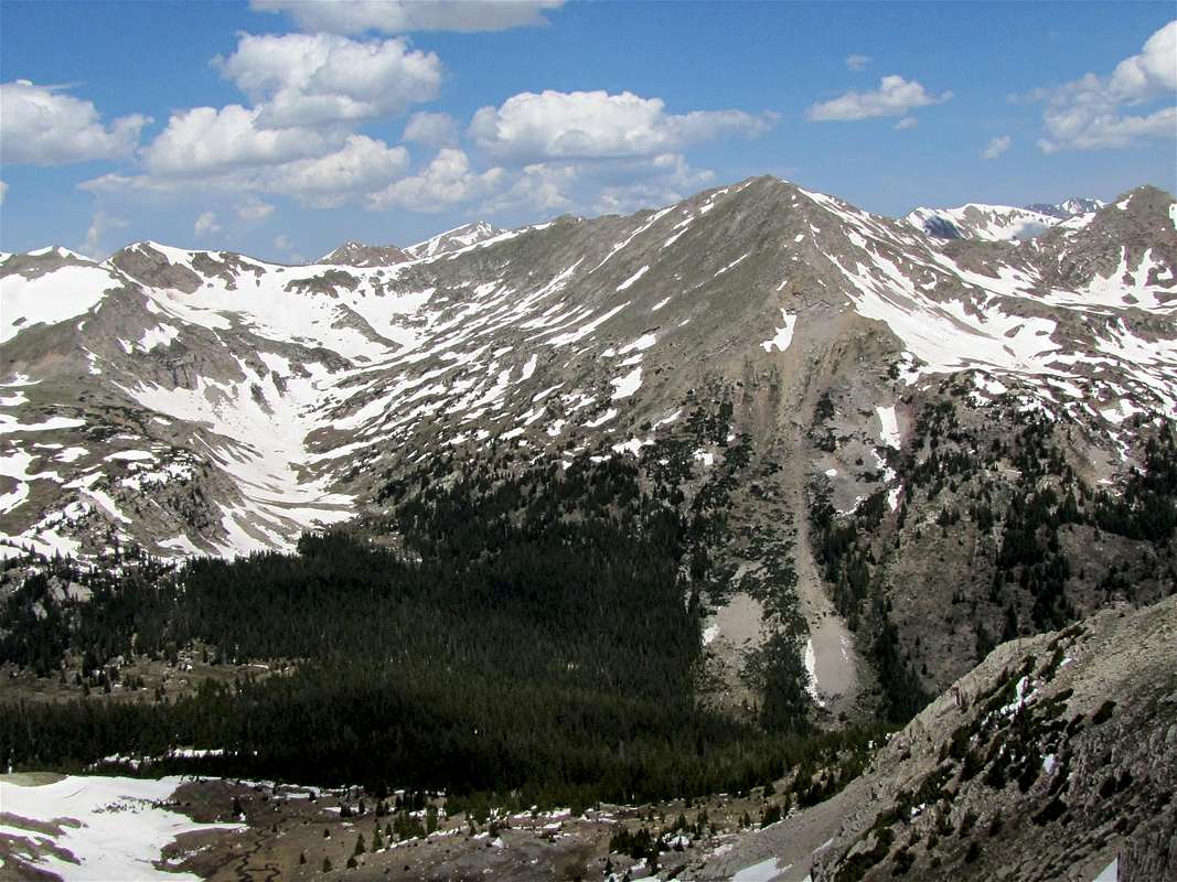 SE Face of Sheep Rock Mountain | Note about name: This peak is officially unnamed. Some maps refer to it as “Sheep Rock Mountain”. Sheep Rock Mountain rises in the upper parts of the Clear Creek Valley in the Sawatch Mountains of central Colorado near the 14er Huron Peak. Sheep Rock is the highest point of a ridgeline that separates the North Fork of Clear Creek from the South Fork. To the north of Sheep Rock Mountain, the ridgeline gives rise to 3 more 13ers. These include: West Virginia Peak 13140 ft, Virginia Peak 13088 ft and Winfield Peak 13077 ft. To the south of Sheep Rock, the ridgeline connects to unnamed Peak 13235 ft. |
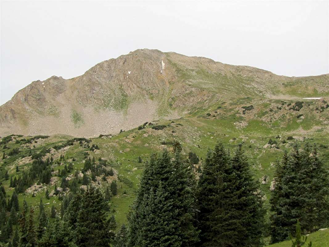
An abandoned 4WD road that is now (as of 2011) overgrown with bushes and small trees, starts near the Huron Peak trailhead and goes up the slopes of Virginia Peak to a nonspecific spot at an elevation of 11250 ft. From the end of the road, you will have to find your own way above tree-line to reach a beautiful basin surrounded by Sheep Rock, West Virginia and Virginia Peaks. You can then hike up the northeastern slopes of Sheep Rock to access its summit.
East face of Sheep Rock Mountain
Pictures
Clear Creek Valley: Ice Mtn. & Apostles |  Ervin Peak | 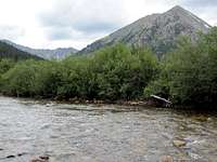 Granite Mtn & Clear Creek |
Overgrown Rd./Hiking toward tree-line:
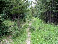 Overgrown Road | 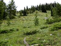 Going above treeline |
Near tree-line:
 Sheep Rock Mountain | 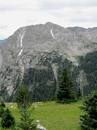 Granite Mountain |  Sheep Rock Mountain |
Alpine Basin:
 Sheep Rock |  Virginia |
 Sheep Rock Mountain | |
 West Virginia | 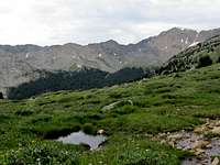 Peak 13253 ft |
 Huron Peak | |
Slopes of Sheep Rock Mtn.:
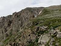 Below Summit | 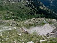 Below Summit |
Views from the summit:
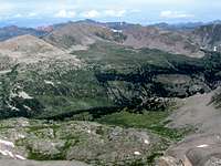 Grizzly Peak/NW | 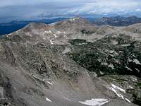 Jenkins Mountain/W |  Grizzly Peak/SW |
 Peak 13235 ft/S | 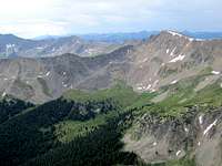 Peak 13253 ft/S-SE | 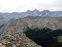 Apostles/SE |
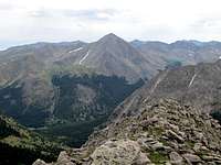 Huron Peak/E | 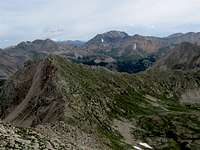 La Plata/N | 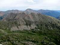 Virginia/NE |
Getting There
The trailhead for Sheep Rock Mountain is the same as the trailhead for Huron Peak. From Buena Vista, drive 15 mile north (or 19 miles south from Leadville) to Clear Creek Reservoir Road (County Road 390). Drive Clear Creek Reservoir Road 11.7 miles to reach the ghost town of Winfield (this is a dirt road passable by most/any car). In Winfield, turn left and cross the bridge to reach a parking area. You might see signs for Huron Peak Trail. If you have 4WD, you can drive another 2 miles to the end of the road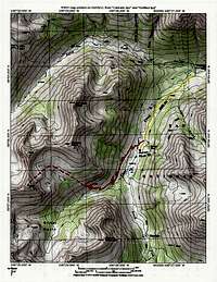 Map |