Snow Creek is a relatively popular spring climb for its potential to have 5000' of sustained climbing on snow. Not being a mountaineer, a spring climb never appealed to me. But when Snow Creek Steve posted pictures of he & Fernando doing the climb in the summer, I was highly intrigued. The climb looked beautiful and had a lot of scrambling. When Steve suggested doing it again, I was in.
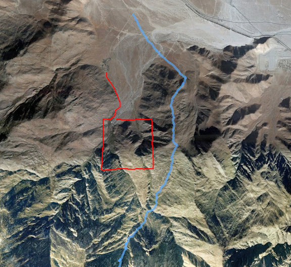
The old standard was a route trespassing through DWA's private property up the canyon. Since a bunch of ninnies started announcing all their illegal plans online, the DWA cracked down, leaving people looking for an alternative. Rick Kent and GigaMike explored a route along the ridge east of the creek, and Steve and Fern have done and "refined" this route 5 or so times, so a harder, yet legal alternative appears to be set. Add on the increased difficulty of rock scrambling / climbing instead of a snow ascent, this route is very strenuous!
We started a bit after 4 am about 1/3 of the way up Snow Creek Rd. Fern couldn't make it, but he still got up and help us with a car shuttle. Then he went to go run / cycle up the tram road for a while. At 4 am!
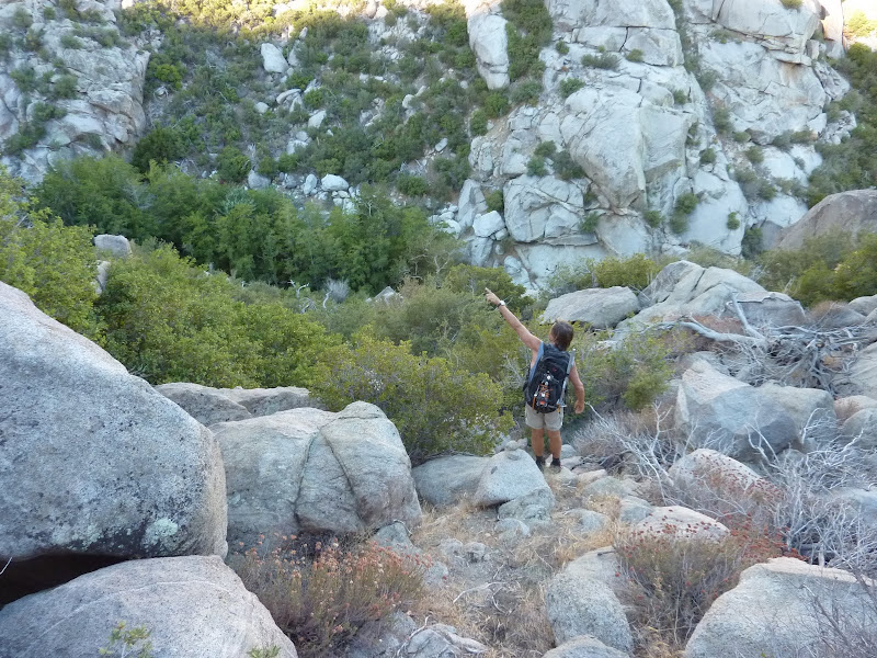
After traversing SE for a while, we approached the base of the ridge. It was very steep, and I probably was carrying too much weight as usual. This was going to be fun.
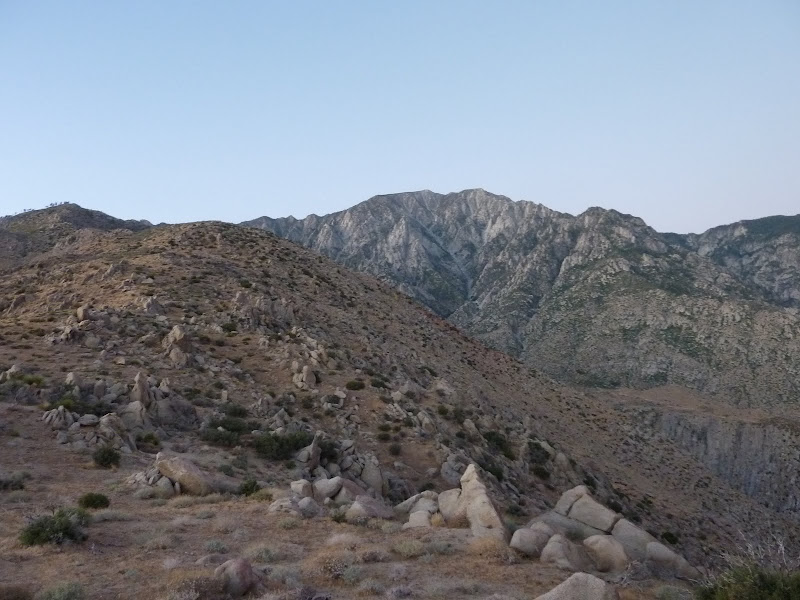
After 1500 ft of climbing the grade lessens a bit and we get our first view of San Jacinto
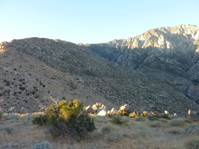
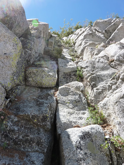
We hit a bump at 4300' and began a slight descent while traversing on the west side of the ridge. You can sort of see a shelf in the terrain to follow, but it wasn't that easy.
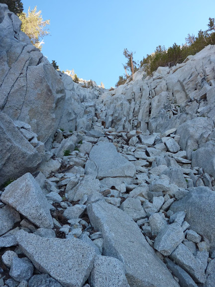
Most of the traverse was a mix of this
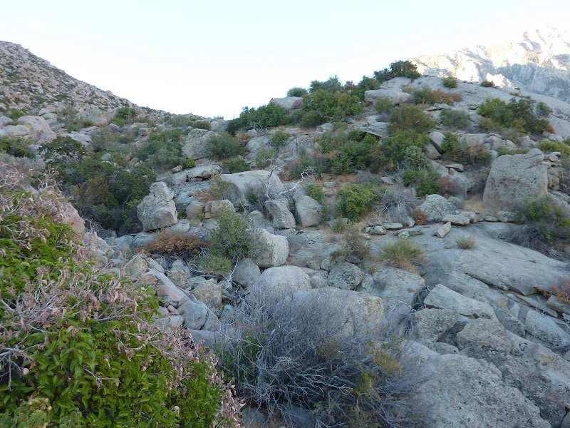
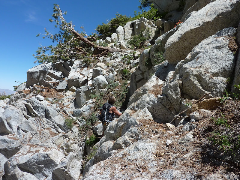
It took ~ 80 min to do the traverse down to Falls Creek. We took a break under the trees below
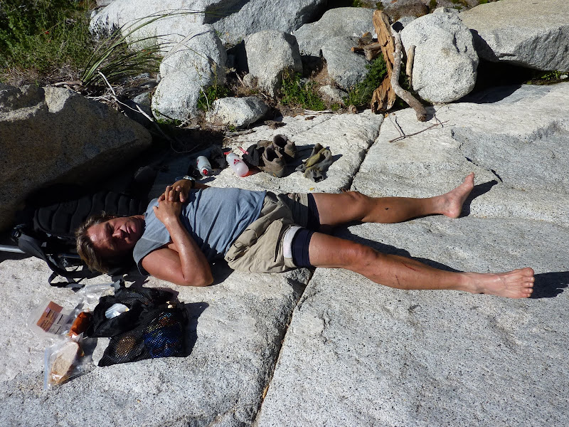
After a short climb onto the west side, we connected up with the old route on a use trail. We reached Snow Creek at 5400' and took a nice break. I wanted to ice my ankle a bit but the water was so cold I could only hold it in for 30 seconds! Steve took his weekly nap:
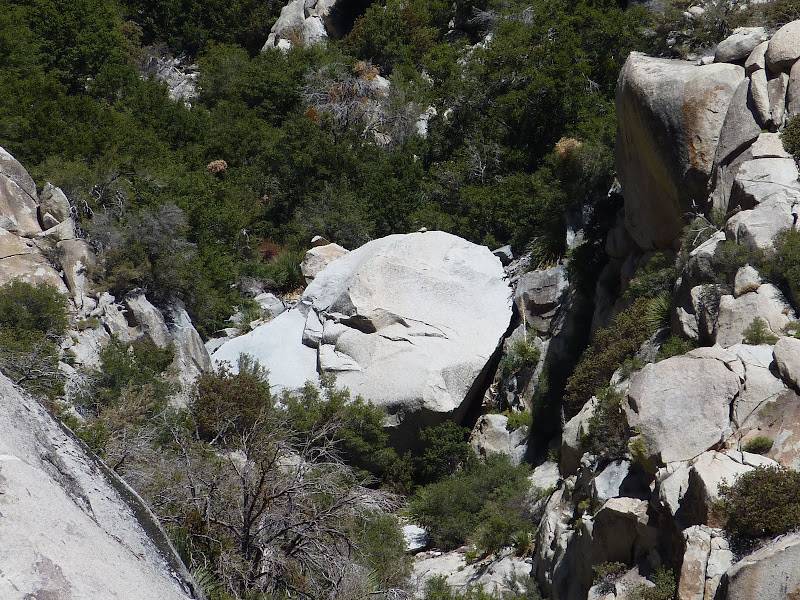
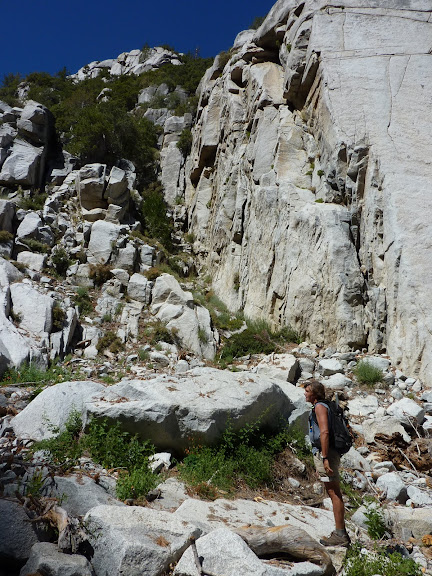
While I was resting I saw this rock that looks a lot like an angry man's head. Maybe he's watching you to make sure you don't trespass!
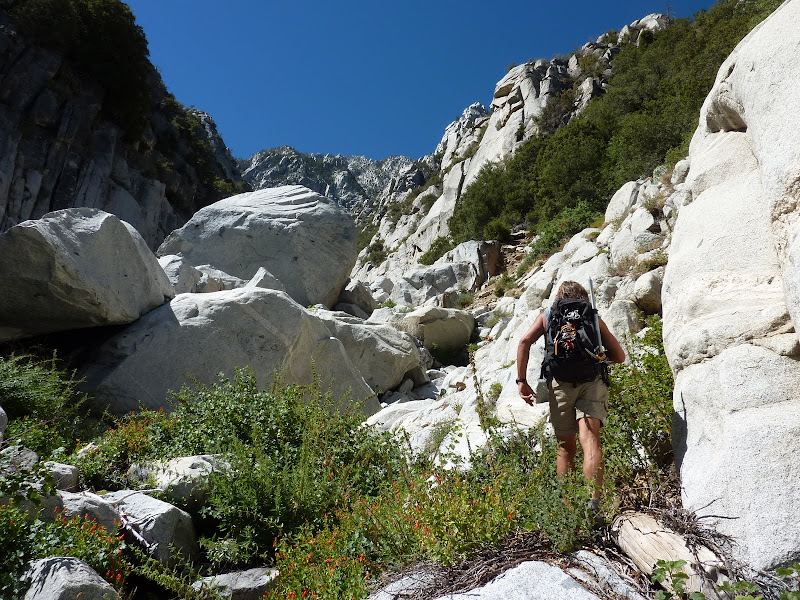
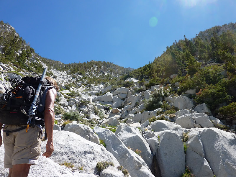
After a bit we continued up, where the rock scrambling begins. I let Steve go first so he could check out his favorite plant, stinging nettle.
We approached the chockstone, and took this chute to the right to get around it.
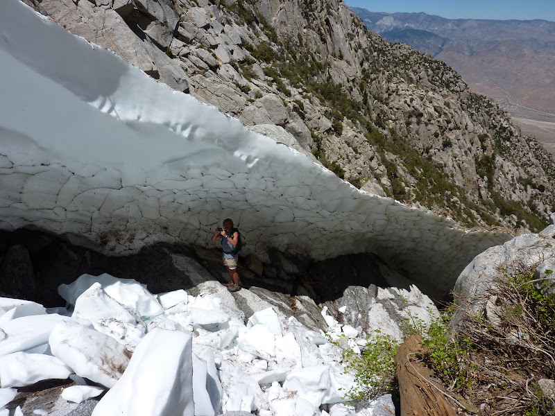
Then we hit the main slab of snow left, with perhaps 800' of climbing. And it's melting away fast.
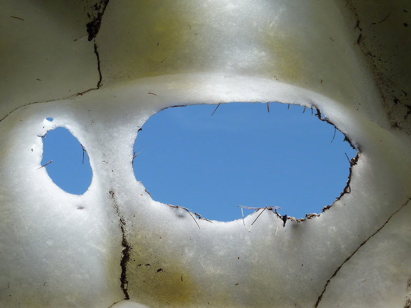
Now if you know me, I have no real interest in winter climbing, but I knew this short climb should be relatively innocuous - it wasn't that steep and it would have been hard to slip on that snow. The main concern was making sure we did not step walk around parts that had been severely melted away underneath.
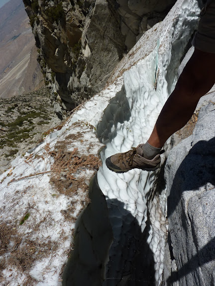
The crux may have been the transition from snow to rock. According to Steve a few weeks ago there was a direct transition, but now there was a 3 foot gap that we had to jump across. Our main concern was that the snow would give out when we jumped, but it turned out pretty solid.
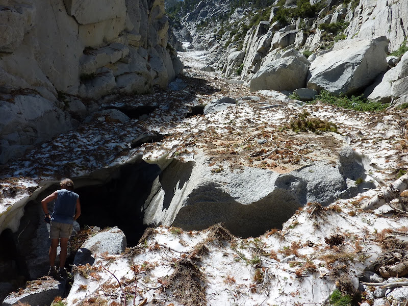
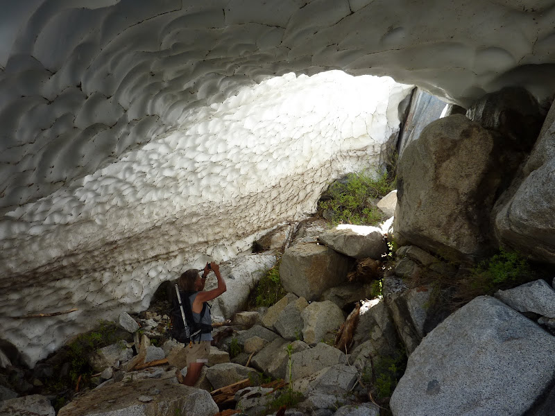
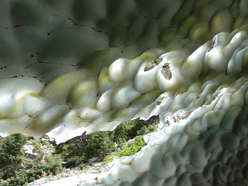
We hiked underneath a few more snow tunnels. This was really cool and one of the main things I was excited about seeing. It did not disappoint.
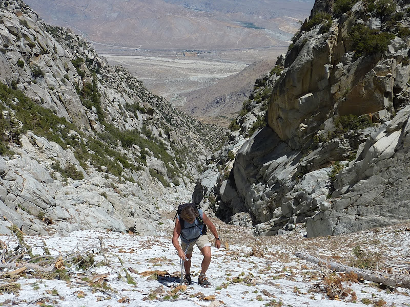
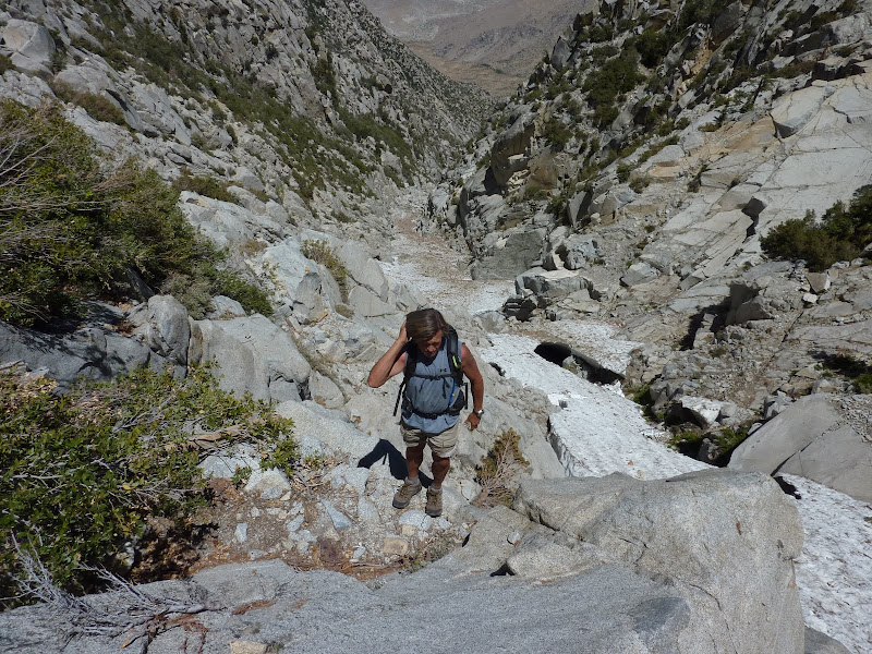
Now, we're at around 6800', so there's still 4000 ft of scrambling left! It was a lot of fun, but tiring. Climbing up is more work than walking up a steady incline for sure, and that definitely adds up on this route. We took the chutes that end up directly hitting the peak (R R L R).
I was definitely feeling it. I was drinking lots of fluids but still getting a headache. Not surprising since I hadn't been hiking much lately and was not used to the altitude nor whole day exertion. Heading up the final chute was a nice feeling.
We hung out on the top for a brief moment before heading down. It was an exhausting 15 hr day, but well worth it. The views were spectacular. There was a unique feeling of isolation in the canyon, we could see the 10 freeway but were so many hours away from people. This is definitely a special hike/climb and the toughest I've done.
As for avoiding private property, this is the route compared to DWA's property.
Well written trip report and great pictures.
Its a rough trip to do in one day and almost as difficult in two. This is something to be proud about. Well done.
Parents refers to a larger category under which an object falls. For example, theAconcagua mountain page has the 'Aconcagua Group' and the 'Seven Summits' asparents and is a parent itself to many routes, photos, and Trip Reports.


Comments
Post a Comment