-
 1193 Hits
-
 77.48% Score
-
 8 Votes
|
|
Route |
|---|---|
|
|
47.42078°N / 11.60447°E |
|
|
Hiking, Mountaineering |
|
|
Summer, Fall |
|
|
Most of a day |
|
|
I |
|
|
Overview
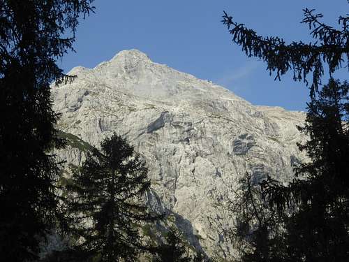
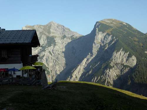
Sonnjoch is one of the most outstanding summits in the area of the Eng valley. This is mainly due to its solitary position. The neighbour summits Schaufelspitze and Lamsenspitze are separated from Sonnjoch by deep cols.
There are three main routes leading to the top of this mountain. Two of them are easy hiking routes, starting at the end of Eng valley or at the end of Falzthurn valley.
The third route is not exactly a difficult one but it is steep, exposed, lonely, with some rock scramble and it is rather unknown. You will not meet too many people on this route.
This is the Bärenlahner (also Bärlahner) route.
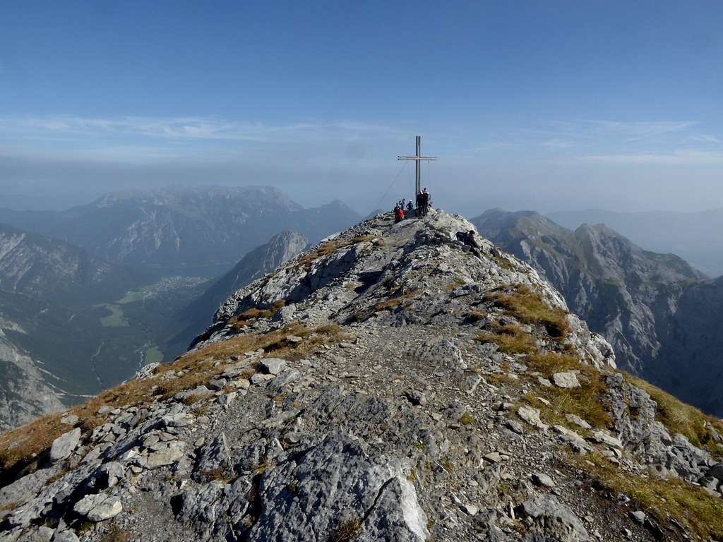
“Lahner” means avalange slope. You will notice steep meadow and rock slopes when ascending the first part of the route which are prone to avalanches, when there is enough snow. How bears did come into that I only can guess.
Bärenlahner route for me is by far the most interesting route to Sonnjoch. Sonnjoch itself is a fantastic viewpoint. With a descent via west – southwest ridge and Gramai Hochleger Alm hut you will have an excellent one day round trip.
Trailhead
The trailhead for Bärenlahner route is alongside the toll road into Falzthurn valley.
From the village of Pertisau go on the toll road into Karwendeltäler and turn left at the first road junction into Falzthurn valley.
Keep right at the next road junction (the lefthand road goes to Falzthurnalm). Go on for about 3 km until you reach a bridge, which crosses the Bärenlahner gully.
There is a parking possibility 150 m before you reach the bridge on the west side of the road. To the east a forest road branches off the toll road.
No public transportation from Pertisau to this trailhead.
Route Description
Bärenlahner route
A forest lane enters the woods between the parking lot and the bridge at a fence to the right; there are signposts too. Follow the lane until it ends. A trail starts there and goes to the mostly dry riverbed of Bärenlahner creek.
Follow the riverbed in western direction – the trail is regularily destroyed by flooding – until the trail reappears on the right (orografic left) side of the river bed and zigzags steeply up the woods.
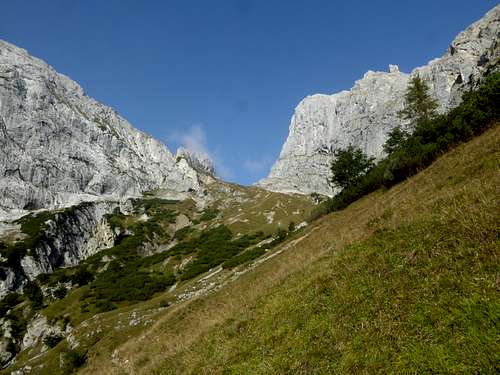
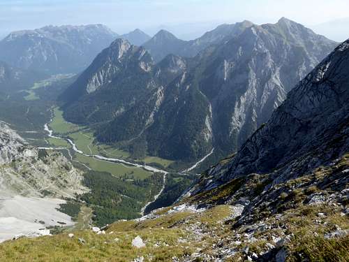
Shortly above the timberline the trail traverses to the center of the steep Bärenlahner valley and ascends steeply the meadow slopes, eventually crossing some rockier sections with easy rock scramble.
High up the valley and under the impressive rock faces of Schaufelspitze the trail enters a depression, crosses a scree field and zigzags up some steep slopes until it reaches Bärenlahner col.
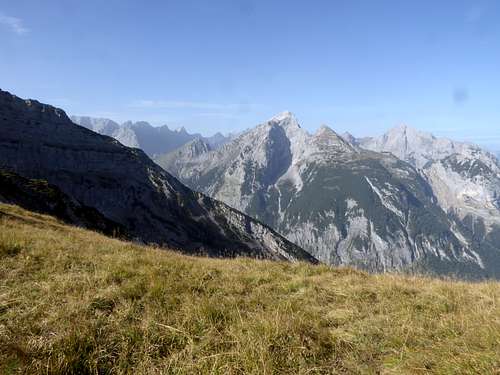
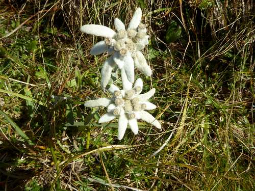
To the north there is the 400 m high rock face of Schaufelspitze, which hosts some difficult trad climbing routes. To the west the view reaches the very heart of Karwendel ranges. On the west side of the col there is during summer until early autumn a beautiful Edelweiß – Stella alpina adorned meadow to explore. A good place for a sip and a bite…..
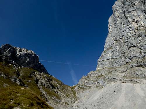
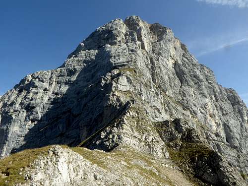
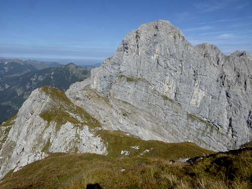
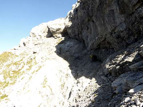
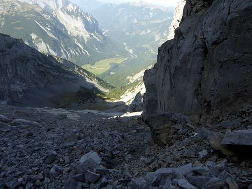
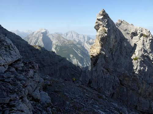
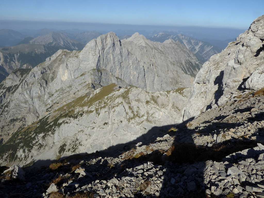
The route turns south and navigates round a first rock obstacle on its west side. Over some easy rocks and a meadow the trail gains the meadow ridge crest and follows it, crossing some bumps, until there is a second rock obstacle blocking the further ascent on the now steep and rocky ridge crest. You have to turn right and descend over some rocks and scree into the northwest cirque of Sonnjoch. This is a spectacular landscape with steep rocks, huge ledges and intimidating deep views.
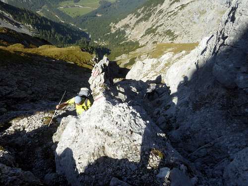
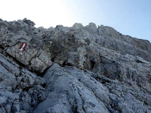
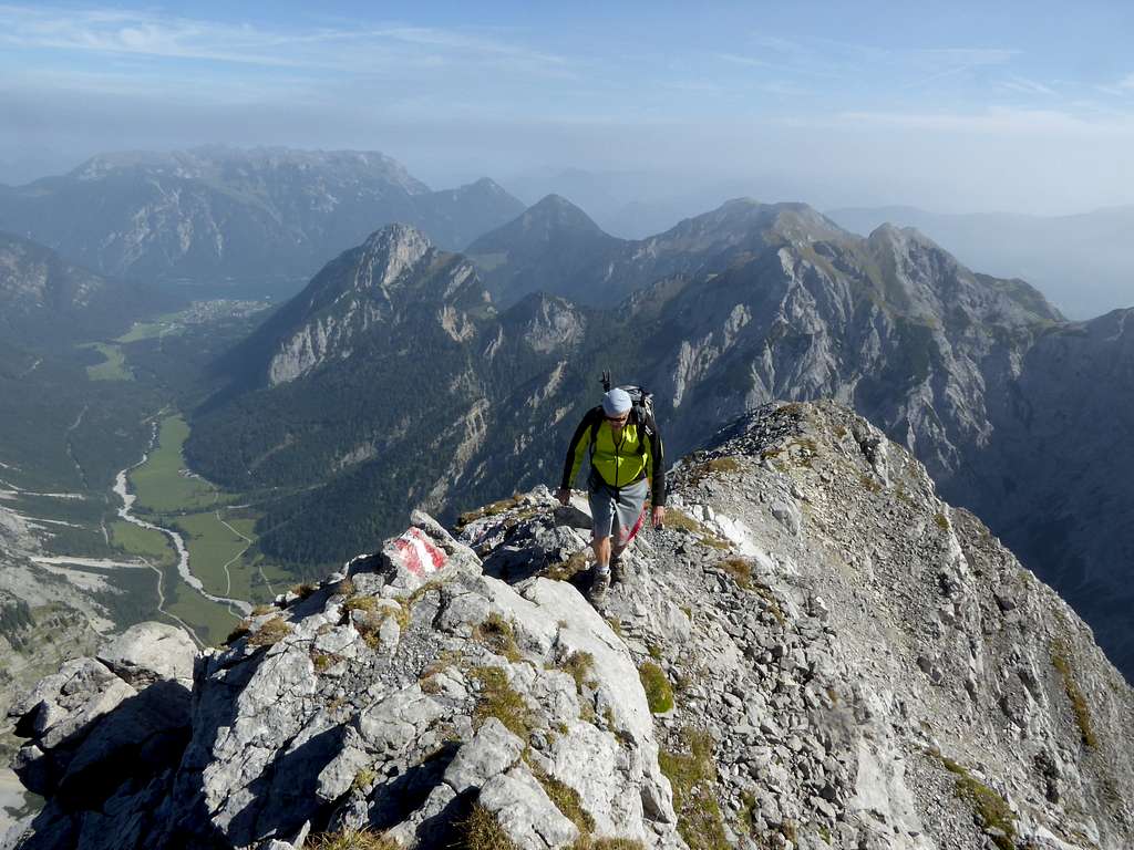
At the end of the short descent you arrive on a steep scree ledge, this is the only annoying part of the route – at least a part within a spectacular surrounding. Ascend the steep scree ledge to a notch. The route then changes onto the northeast slopes of Sonnjoch and the route uses scree, rock and meadow ledges with beautiful flowers and a breathtaking views to the about 1000 m lower trailhead.
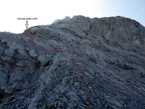
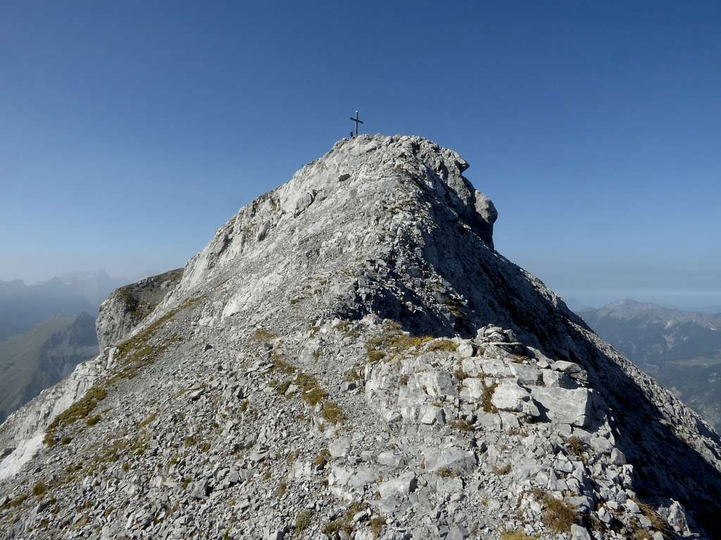
Over some easy rocks you reach an upper scree field and at its end a short and steep rock step wich requires some grade I moves.
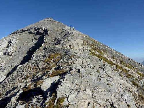
At its top a last rock ledge leads sharply up to the east ridge of Sonnjoch summit. Follow the easy ridge crest with spectacular views to both sides up to the near summit cross.
Descent route:
Follow the marked trail down the west and southwest slopes of Sonnjoch, first over scree and easy rocks and then over meadows and through the dwarf pine zone.
Arriving at the meadows of Gramai Alm there is a trail junction; take the left hand trail (2023 without signposts !) which leads down to Gramai Hochleger. Follow then the forest road down to Gramai Alm Hotel at the end of Falzthurn valley. From there use the forest road (signpost for Falzthurn Alm and Pertisau) until you are face to face with the Bärenlahner valley. Leave the road to your left, cross the dry streambed and look for the short forest road wich arrives the toll road directly at the trailhead / parking lots.
Essential Gear & Mountain Condition
Bärlahner route is a summer and autumn undertaking, depending on the snow condition on the mountain. The steep and rocky upper parts of the route are located on the north side of the mountain, thus the route gets difficult up to impossible after the first snow in autumn.
The route requires some stamina and experience in steep and rocky terrain. A helmet for some extra safety in the upper parts of the route is recommended.
Watch out for dry and safe weather condition – no go with immediate thunderstorm threat!
Current Weather:
Valley weather Pertisau
Weather condition on Sonnjoch
Wildlife
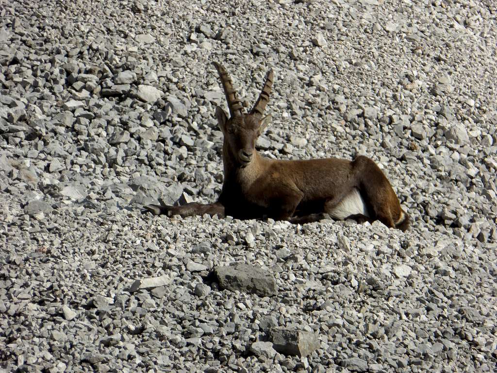
There is a huge flock of ibexes roaming the slopes of Sonnjoch, always a beautiful experience. I saw them everytime I was on Sonnjoch.
This time they where lazily placed in the sun on a scree field of Bärlahner valley, not at least disturbed by our presence…..
