
-
 30044 Hits
-
 81.18% Score
-
 13 Votes
|
|
Mountain/Rock |
|---|---|
|
|
44.01120°N / 71.8409°W |
|
|
4523 ft / 1379 m |
|
|
Overview
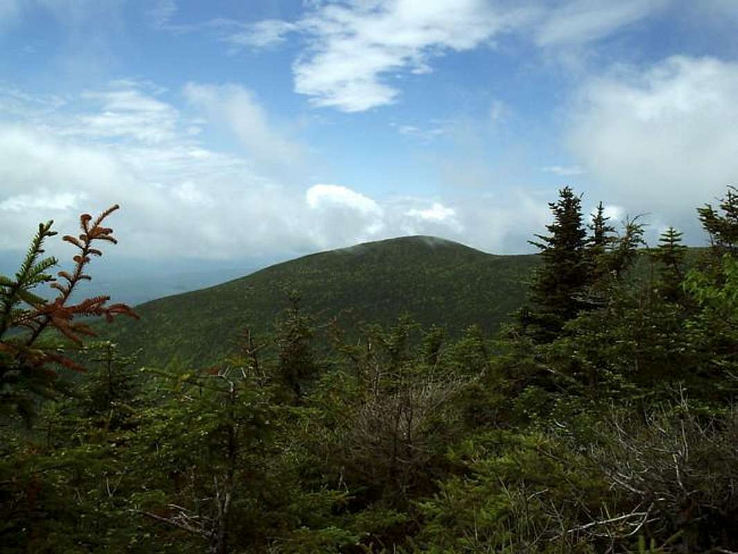
South Peak is a next door neighbor of Mount Moosilauke which is the highest mountain in the western White Mountains (west of Franconia Notch). Although South Peak is not considered on the official list of New Hampshire 4,000 footers , it surpasses that mark by over five hundred feet.
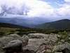
Commonly South Peak is passed on an ascent or descent of Mount Moosilauke via the Carriage Road /Snapper Trail. The scrubby (meaning 360 degree views, but still some dwarf scrub) summit can be obtained via a short spur path that is about two tenths of a mile in length and well worth it for the views up to Mt. Moosilauke and out over the Connecticut River valley. Another way of reaching South Peak is by ascending the Glencliff Trail in which you can bag South Peak and continue onto Moosilauke.
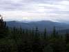
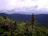
South Peak is another great example of the high elevation terrain of the White Mountains with its many specimens of wild flowers and alpine only trees. Many of the plants found here can't be found anywhere else in the U.S. except for the alpine regions of the American west. On your way to the summit you'll be stepping over glacially scoured pebbles and boulders that stand as a testament to glacial activity which occurred thousands of years ago.
From below, Mount Moosilauke dominates the picture in this mountain group which includes Mt. Blue, Mt. Jim, Mt. Waternomee, Hurricane Mountain, and South Peak. South Peak is the third highest in this group behind Mts. Moosilauke and Blue, however South Peak has the second best views by far of any in the range.
 |  |  |  |  |
Getting There
From Boston:
Take Interstate 93 north towards Franconia Notch for approximately 1 hour and 45 minutes. When you see signs for Lincoln and North Woodstock you'll want to start paying attention. When you reach the exit for Highway 112/North Woodstock get off of I-93 and head west. In two and a half miles you'll reach the junction with Highway 118. Take Highway 118 for about seven miles. You'll be able to see Moosilauke in front of you. You'll also head up the mountain and go over a pass with a lookout near the top. Continue down the other side for about one mile and the signs for Ravine Lodge will be on your right. Follow the signs to the trailhead and parking area.
From Littleton, NH:
Head south on I-93 for approximately thirty miles until you reach the exit for Lincoln and North Woodstock also known as Highway 112. Take the exit and in two and a half miles you'll reach the junction with Highway 118. Take Highway 118 for about seven miles. You'll be able to see Moosilauke in front of you. You'll also head up the mountain and go over a pass with a lookout near the top. Continue down the other side for about one mile and the signs for Ravine Lodge will be on your right. Follow the signs to the trailhead and parking area.
For the Glencliff Trail trailhead continue down 118 until you reach the junction with Route 25. Take Route 25 north and once you reach Glencliff you'll see signs for trailhead parking which is in approximately 1 mile.
 |  |  |  |
Red Tape
There are no permits required to hike this mountain or for parking at the trailheads. The mountain is owned by Dartmouth College so do be just as courteous here as you would in any other spot in the White Mountains. For conservation purposes follow the “LEAVE NO TRACE” program and you'll be fine.
When To Climb
This summit is attainable at all times of the year, but would definitely be more challenging in the winter months. Remember, you're only about forty miles from Mt. Washington and the Moosilauke Group is the highest point in the western mountains so it will get the brunt of all the bad weather. If the weather is supposed to be bad in the Presidentials, it will often be worse here. Make sure to check the weather reports before you head out and hit the trail.
Summer would definitely be your best bet for a good weather attempt on this mountain and its neighbors. Even then, bad weather can strike at any moment so be aware of your surroundings. The col running between and including South Peak and Mt. Moosilauke is fully exposed to any weather as it is all above treeline. If there is a threat to bad weather before to turn around long before you reach the summit of South Peak.
Another gorgeous time on the mountain is in the fall of the year. New England's fall foliage is quite a sight to see, especially from the summit of one of the high peaks, so if you ever get the opportunity take full advantage. Snow can occur here anytime from October to May and sometimes even into the summer.
Camping
There is no camping allowed on the mountain since it is owned by Dartmouth College. There are a few options though in the form of the Moosilauke Ravine Lodge at the base of the mountain on the southeast side. Also, there is a shelter beyond Mount Blue along the Beaver Brook Trail called the Beaver Brook Trail. This is a section of the Appalachian Trail.
Mountain Conditions
For current and up-to-date weather conditions click on the link below:
weather.com
For weather in the White Mountains region also check out the Mount Washington Observatory's website below:
Mount Washington Observatory
External Links
- Mount Moosilauke Page
This page contains everything you need to know about Mt. Moosilauke and all its adjacent peaks i.e.....trails, routes, history, geology, and lots of other good stuff.