
Comments
No comments posted yet.
|
|
Trip Report |
|---|---|
|
|
34.73540°N / 98.7522°W |
|
|
Download GPX » View Route on Map |
|
|
Nov 25, 2020 |
|
|
Hiking |
|
|
Fall |
Sunset Mountain is a 0.9 mile long north-south running ridgeline that rises in the Wichita Mountains National Wildlife Refuge to the northwest of Lawton, Oklahoma. It gives rise to many high points. The USGS Map does not provide an exact elevation for Sunset Mountain. It only shows contour lines with 10 foot intervals. The words Sunset Peak appear on a 2175 ft high point at the south end of the ridgeline. The true summit of the ridgeline sits in the middle of it and is 2255 ft high. There are no trails in the area.
I approached a 2205 ft prominent rocky high point at the northern end of the ridgeline but had to turn around 30 vertical feet below the top due to walls and impenetrable growth of bushes. I was however able to reach the true summit (Point 2255 ft) where I got great views of the surrounding mountains and grassy plains. To explore more of the area, I returned via a different valley creating a loop hike.
Length of Hike: 5.9 miles
Elevation at Highest Point: 2255 ft
Elevation at Lowest Point: 1630 ft
Total Ascent: 1450 ft
November 25, 2020
Left the vacation rental house in Medicine Park, Oklahoma and got on Route 49 entering Wichita Mountains National Wildlife Refuge. It was a nice sunny morning after 3 days of clouds and rain. The rising sun gave a beautiful intensity to the yellow color of the vast grassy plains. Rocky mountains rose above the plains in the horizons.
After 20 miles of driving, I reached a small pullover on the side of the road. I had seen the pullover on satellite photos and planned to start my hike at that spot since there were no other close by parking areas. The map identified the pullover as “Buffalo Gap” but I did not see any signs.
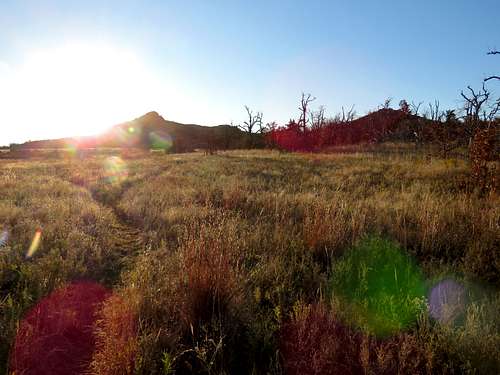
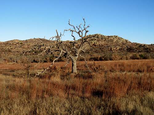
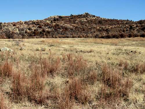
Started my hike at 8:00 a.m. It was 38 degrees F and elevation was 1760 ft. Headed southeast over the grassy plains right into the rising sun toward Point 2205 ft. There were no trails but beaten paths that suddenly ended in nowhere could be found in many places.
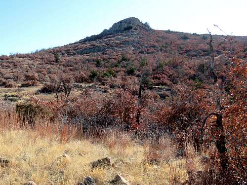
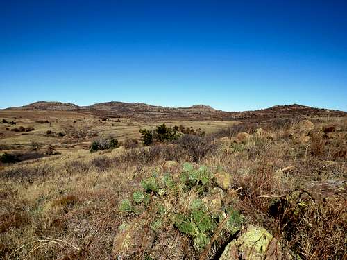
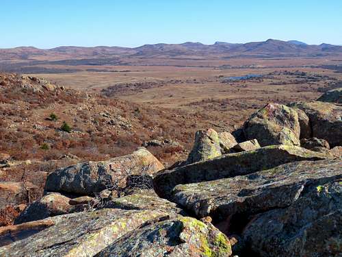
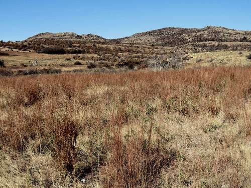
Grassy plains and Big Four Mountain.
|
|
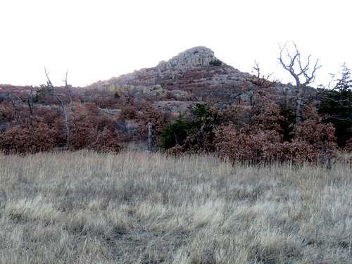
After 0.7 miles, I reached the base of Point 2205 ft and went into the shade.
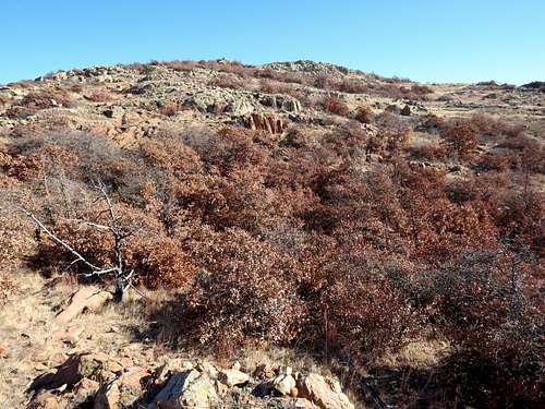
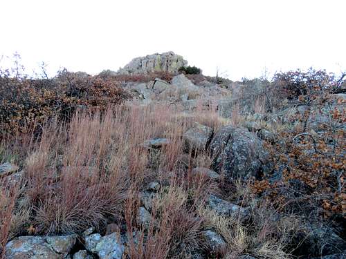
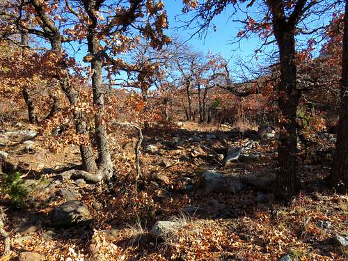
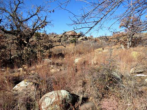
The path that I had entered into my GPS was supposed to take me up a gentle slope to the top of the ridgeline but I could see that the path was covered by a seemingly endless growth of dense vegetation that would require intense bushwhacking. My best bet was to go directly up toward Point 2205 ft but even that path did not look promising. I was hoping to do a pleasant hike not an intense bushwhack in a supposedly tick and snake infested environment (I think the cold weather helped me a lot since I only saw one tick and no snakes during the five days that I was in the area). Despite that, I began walking up the slope toward Point 2205 ft. I often reached impenetrable vegetation and had to change course.
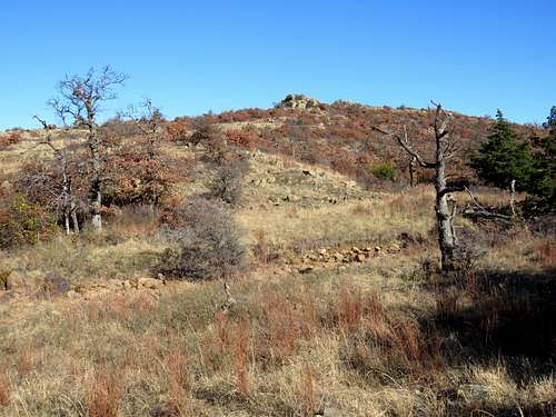
Looking back at the triangular shadow of Point 2205 ft on the plains to the northwest.
Farther up, it became steep and boulders came to cover the ground. Boulder hoping all alone among the bushes was potentially dangerous and not my idea of fun but I could not stop myself. There had to be a bush free path to the summit.
|
|
|
|
|
|
|
|
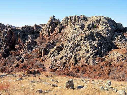
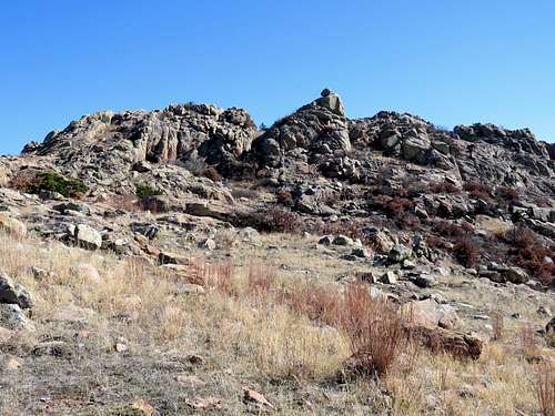
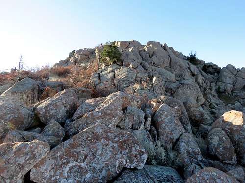
Once I reached this area of rocks and impenetrable bushes, I just gave up (when I later downloaded my GPS track onto the online map, I saw that I had been only 30 feet below the top).
Using my GPS, I retraced my exact path down the mountain being careful not to get myself entangled with nasty bushes. Once back into the open, I decided to just follow the path of least resistance south into a valley. I wanted to enjoy the beautiful fall colors and no longer had a particular destination. It was still only 9:45 a.m.
|
|
|
|
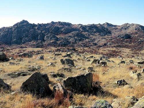
A look back at Point 2205 ft.
I soon realized that I needed to be up in elevation to get the best views. It appeared that I could zigzag my way up grassy slopes, avoiding the bushes, to reach the rocky top of Point 1965 ft so I began to go that way.
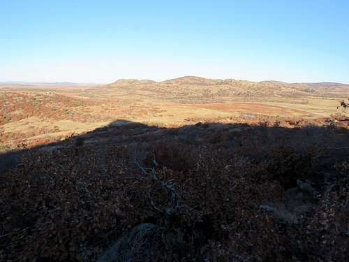
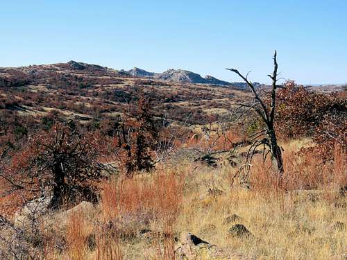
The top of Point 1965 ft turned out to be a plateau with good views of Charons Garden Mountains to the south.
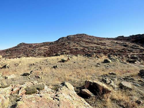
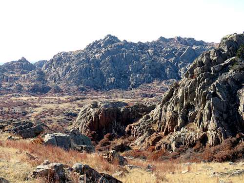
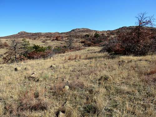
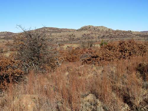
The true summit of Sunset Mountain was then in good view. Most of its slopes were free from bushes. That meant that I could hopefully reach the top after all.
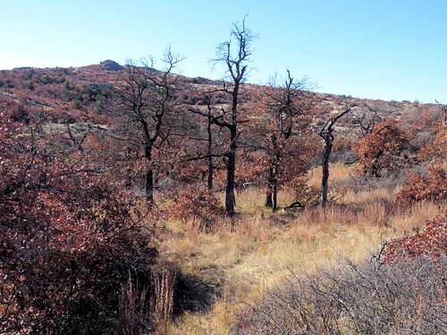
Down into a forested area and then up toward the true summit (Point 2255 ft).
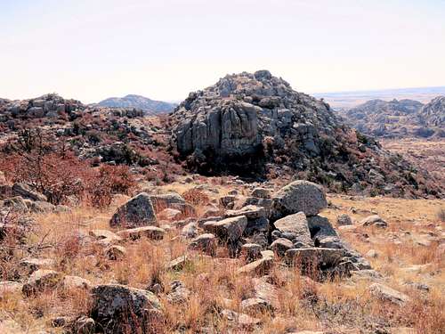
The interesting Point 2005 ft with a huge round boulder on top of it sat behind me.
Another view of Charons Garden Mountains.
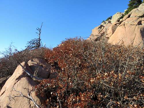
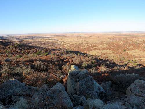
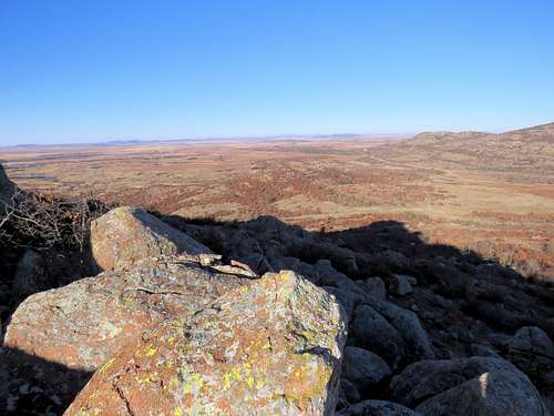
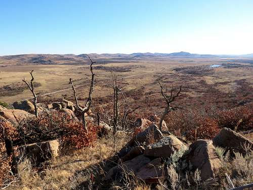
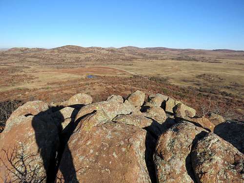
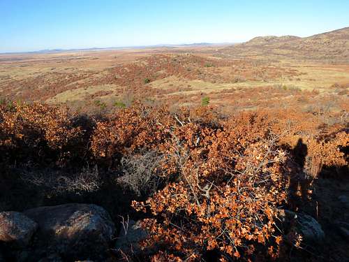
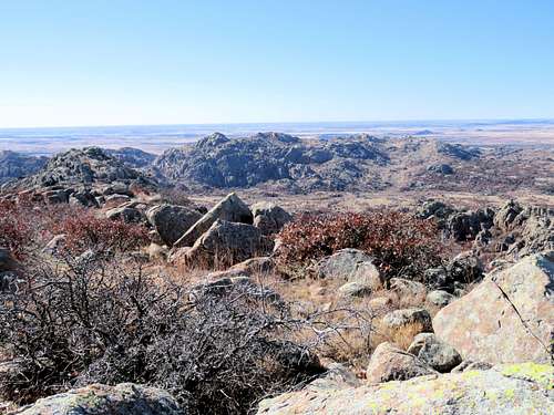
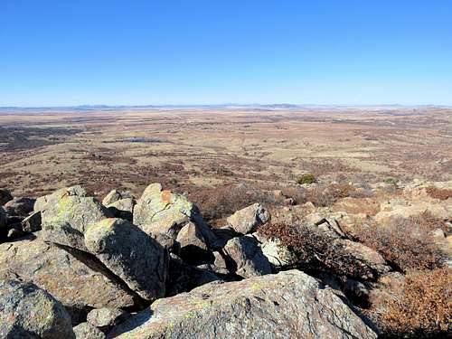
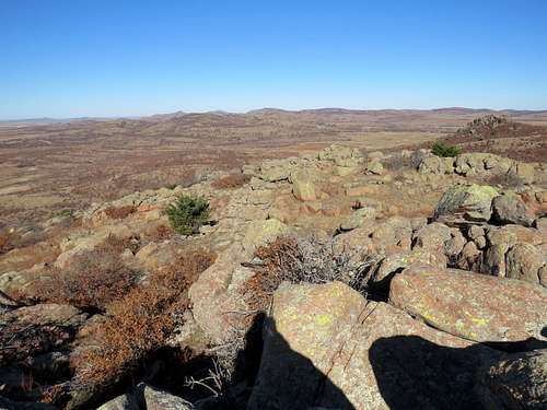
Avoided the bushes as much as I could but in one spot, I had no choice. Whacked my way through a short area of dense vegetation, went up the boulders and reached the top of the true summit (Point 2255 ft) at 11:20 a.m. A cold wind was blowing. I had hiked 3.71 miles.
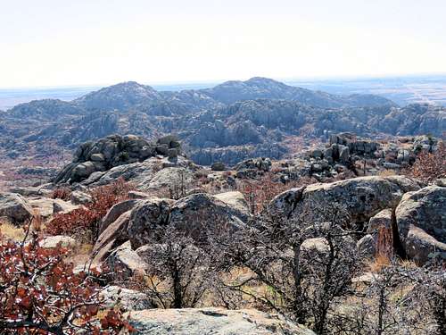
Views from the summit.
|
|
|
|
|
|
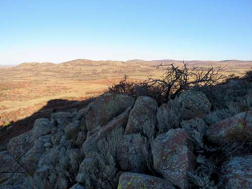
Had lunch, enjoyed the views and left at 11:55 a.m. going back down the mountain. Point 2175 ft (where USGS puts the words “Sunset Peak”).
I wanted to return via a different path so I continued to go west downhill beyond where I had come from. View of the “Back side” of the round boulder on top of Point 2005 ft that I had seen earlier.
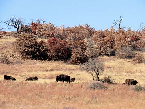
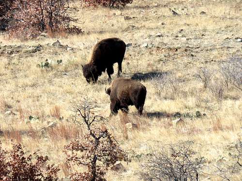
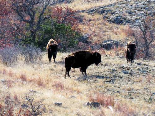
Could see Bison on the plain below. Did not want to get close to them so took some zoomed pictures from far away.
|
|
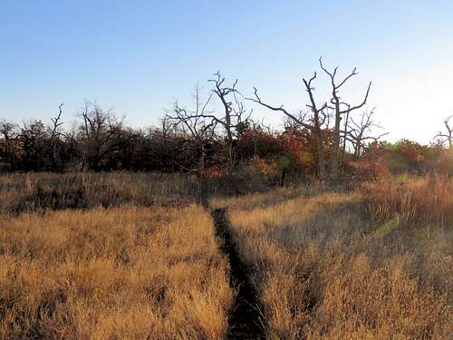
Turned north and began to hike back toward my starting point. Everything looked so beautiful. I was getting one of those “glad to be alive” feelings that I sometimes get on my hikes.
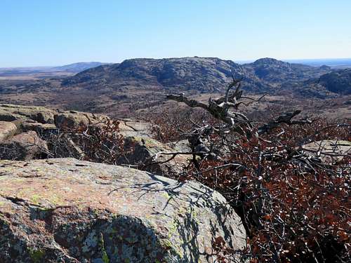
Point 2255 ft and Point 2205 ft to the east.
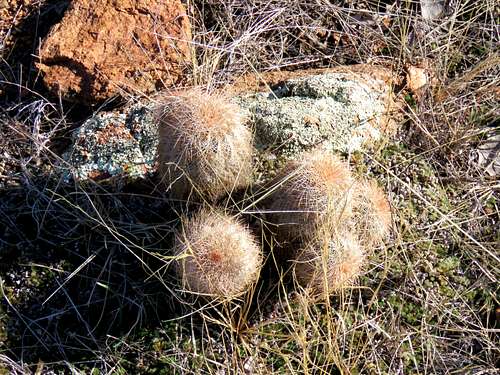
Don’t step on those.
|
|
So beautiful.
|
|
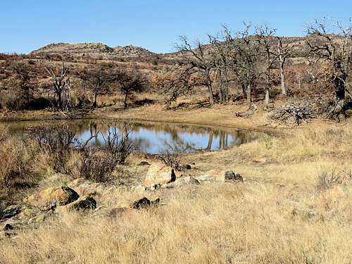
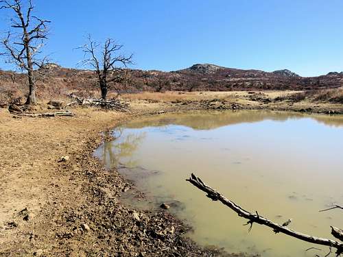
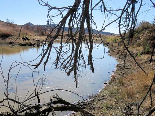
Walked to this pond. Looking north at Big Four Mountains.
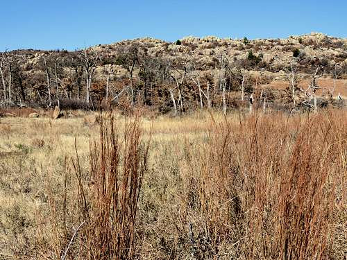
Sunset Mountain to the east.
Charons Garden Mountain to the south.
Another herd of Bison.
Continued north until I reached my car at 1:32 p.m. It was 55 degrees F.
|
|