
Comments
No comments posted yet.
|
|
Trip Report |
|---|---|
|
|
47.33760°N / 91.1988°W |
|
|
Jul 4, 2020 |
|
|
Hiking |
Tettegouche State Park sits on the north shore of Lake Superior 60 miles to the northeast of the city of Duluth, Minnesota. It preserves forested hills, scenic shorelines and a number of waterfalls. From a parking area near Route 61, I followed a trail on the edge of the cliffs above Lake Superior to a spot called Shovel Point, then I returned to near the starting point and went on another trail on the east side of Baptism River to reach Two Step Falls and High Falls.
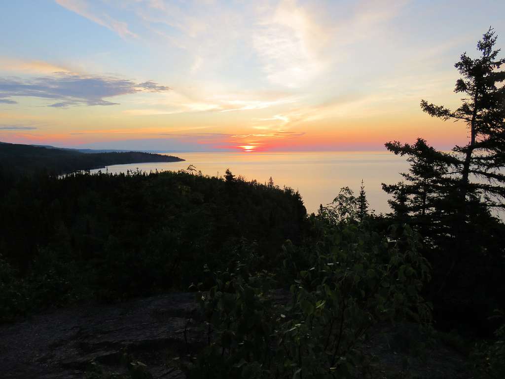
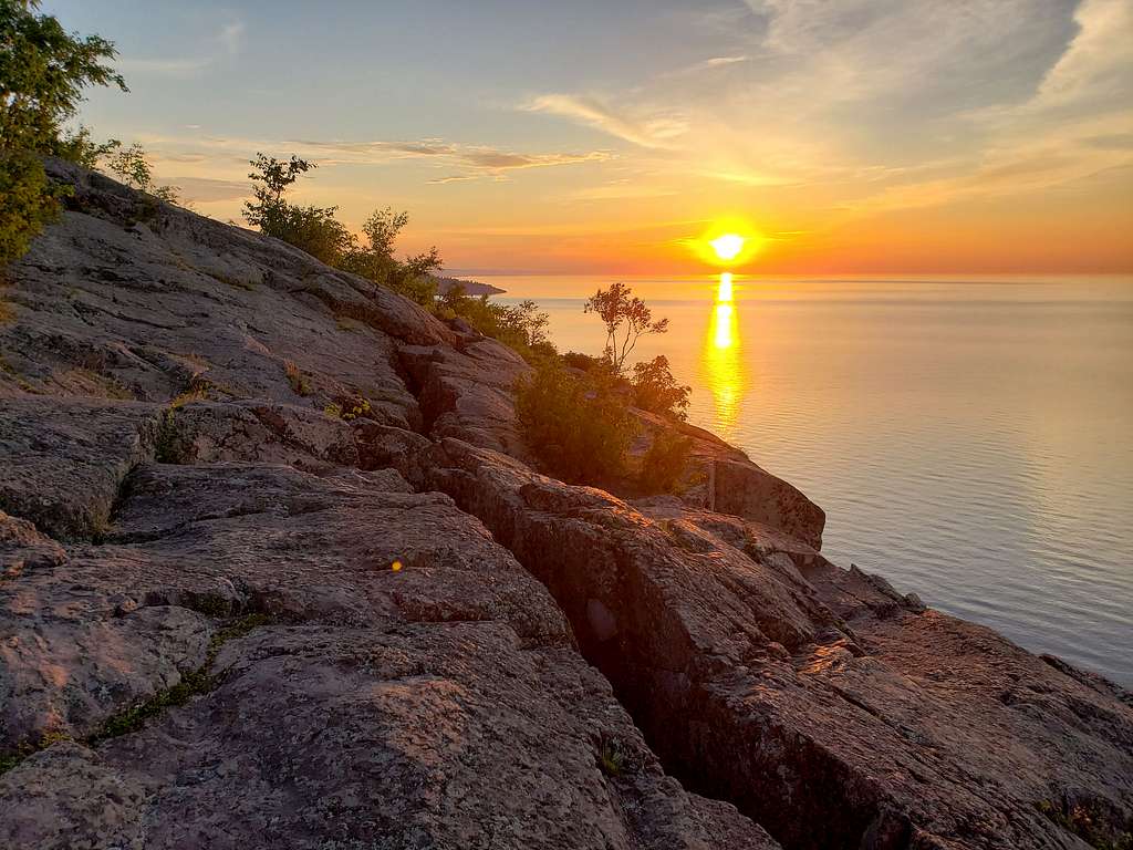
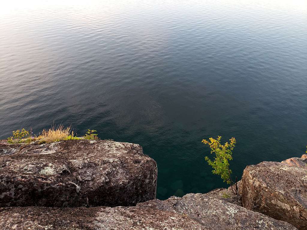
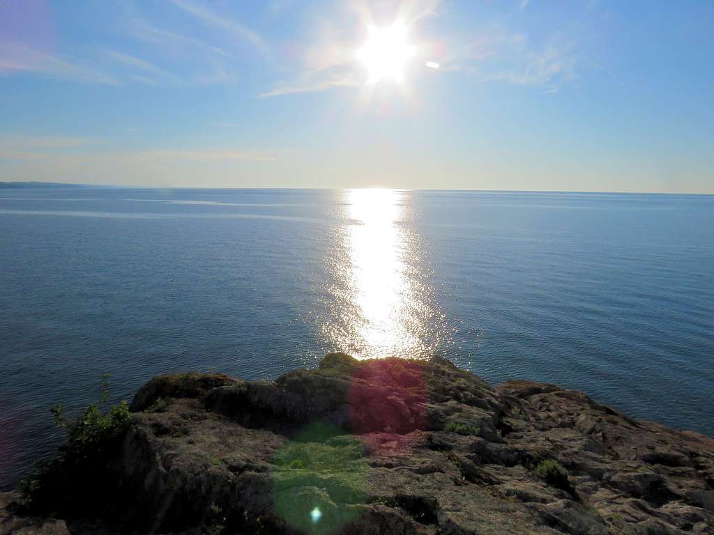
Palisade Head is a rocky block that rises as much as 335 ft (elevation of 935 ft) directly above Lake Superior. A short road goes from Route 61 to a parking area at the base of an antenna where cliffs drop 200 ft into the lake. I watched sunrise from the top of Palisade Head.
Hiking Distance: 1.35 miles
Total Ascent: 231 ft
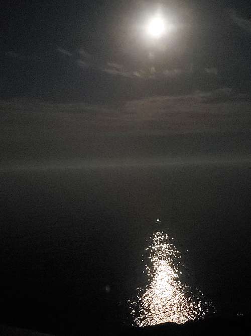
Happened to wake up around midnight in our vacation rental condo on the shores of Lake Superior in Tofte, MN to see bright moonlight reflecting on the surface of the lake. Took this picture and went back to bed.
Got up at 4:10 a.m. (sunrise was at 5:12 a.m.). Left the condo at 4:40 a.m. and drove 30 miles southwest on Route 61 to the road to Palisade Head. The gate on the road was locked. I saw a few other cars there. Started my hike at 5:10 a.m. (elevation 700 ft). walked up the short road to the end of it at 835 ft at the base of an antenna (Elevation of Lake Superior is 600 ft). A number of other people were also there watching the sunrise.
There was no trail. Walked aimlessly on the rocks among the bushes to catch various views.
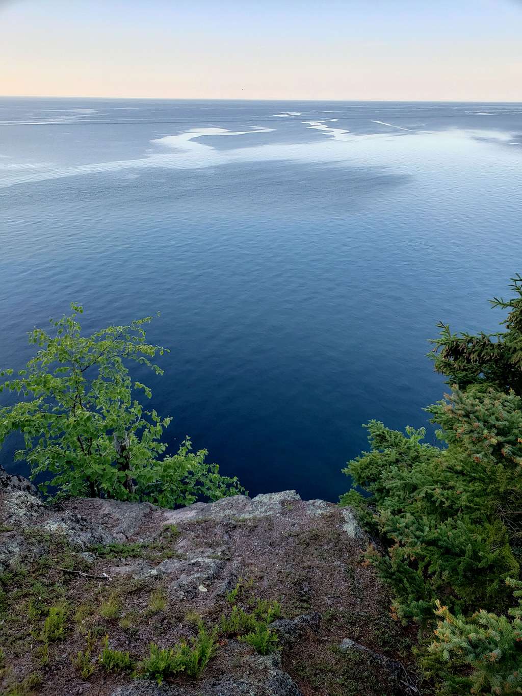
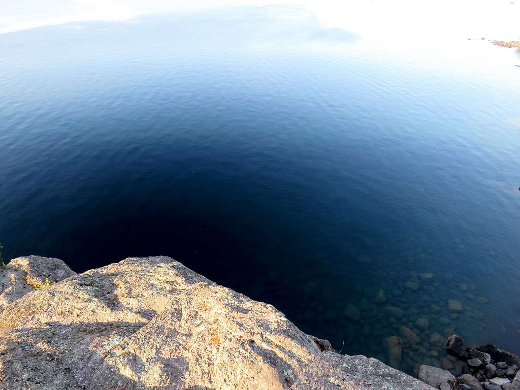
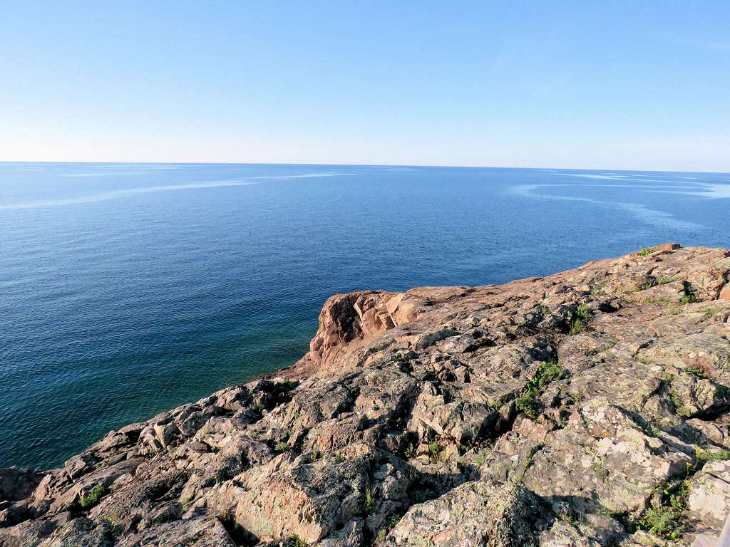
Close to the edge, cliffs dropped 200 ft into the lake.
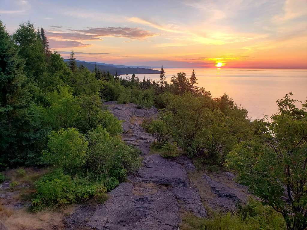
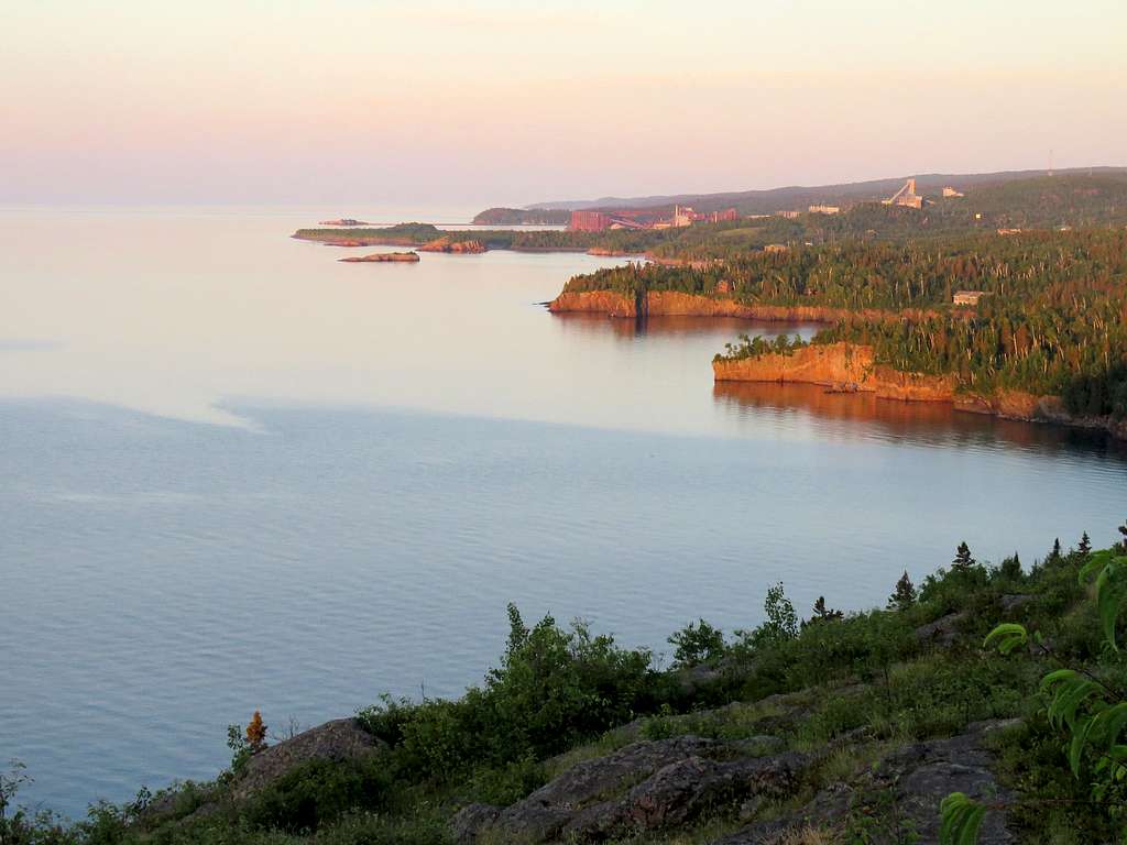
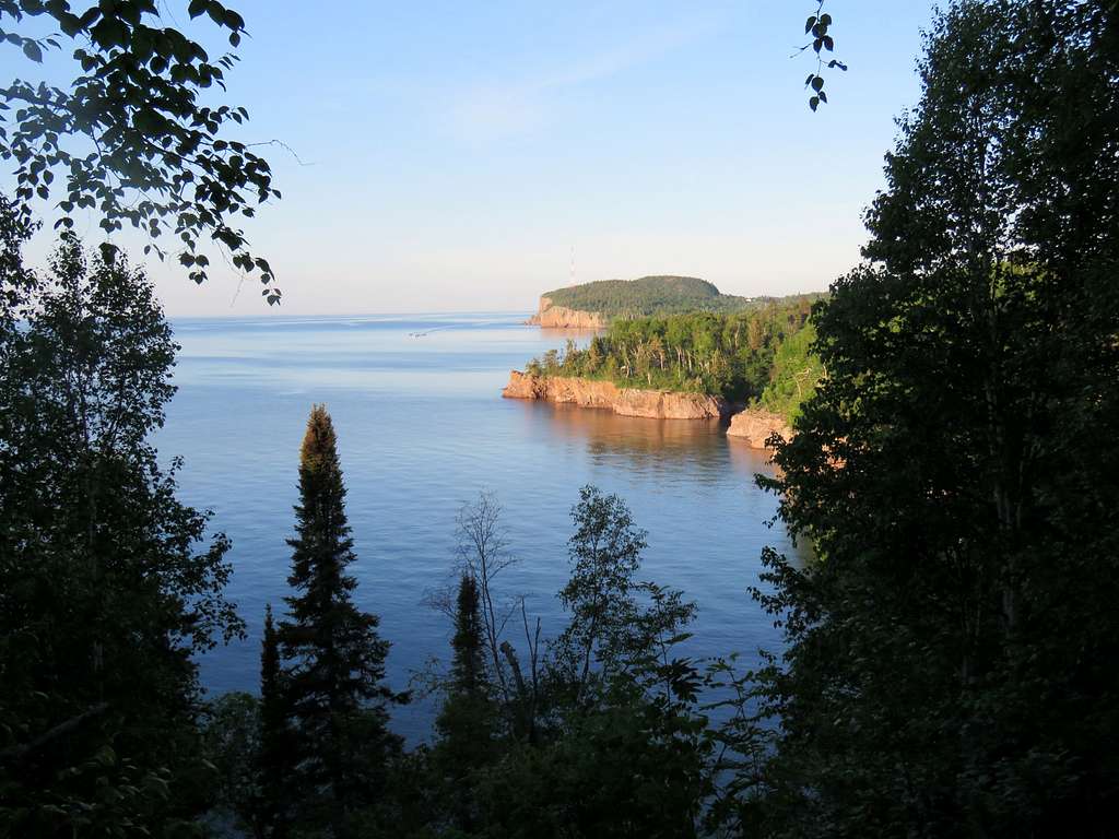
Hiking further up to some 900 ft, the cliffs around Silver Bay came to view to the southwest.
I then returned to the car by 5:57 a.m.
Hiking Distance: 5.70 miles
Total Ascent: 1220 ft.
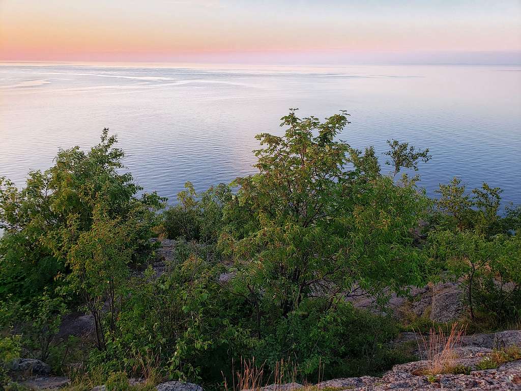
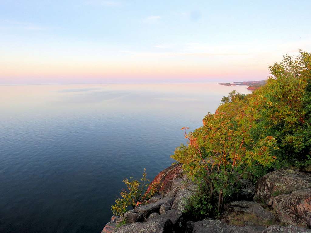
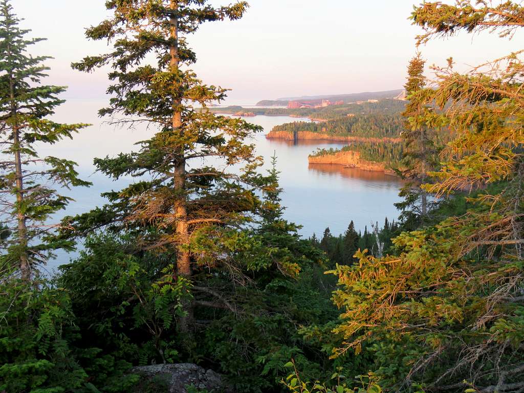
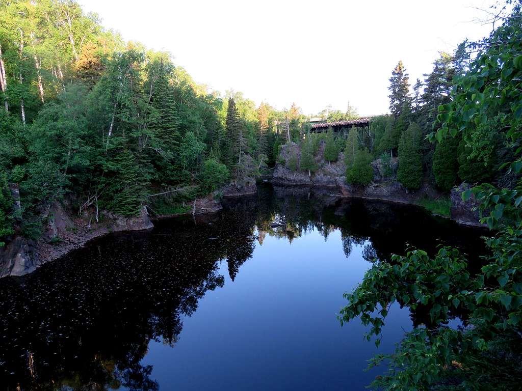
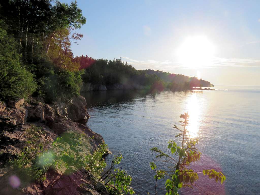
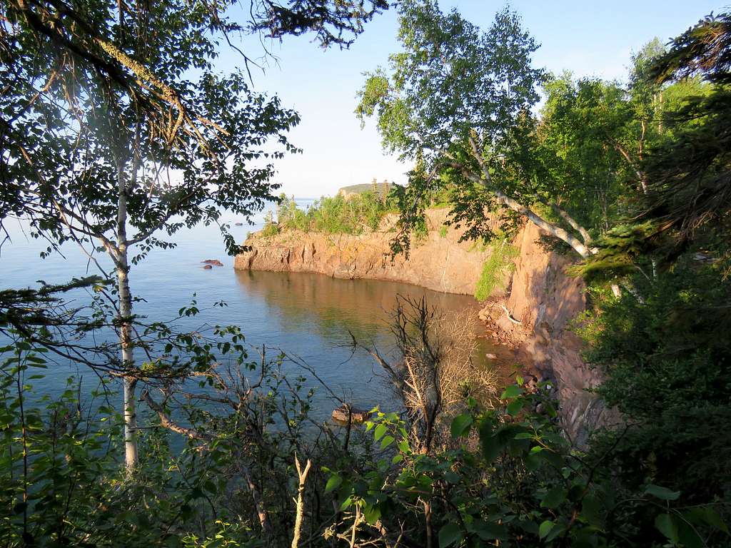
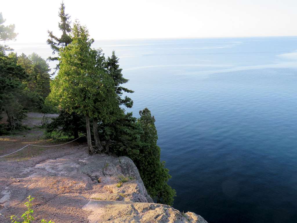
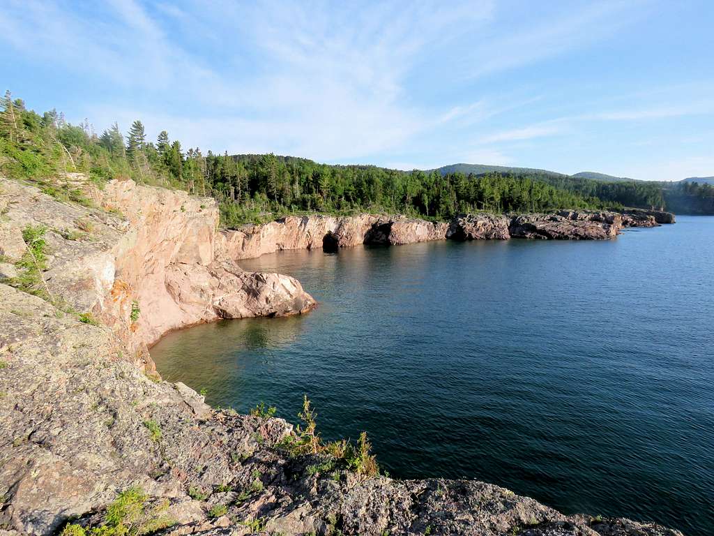
Leaving Palisade Head, I drove a few miles northeast on Route 61 to Tettegouche State Park. Wanted to hike the shoreline, before the crowds would appear. Started my hike at 6:15 a.m. (elevation was 700 ft, Lake Superior is 600 ft). Went on a trail on the east bank of Baptism River which ran at the bottom of a small rocky canyon.
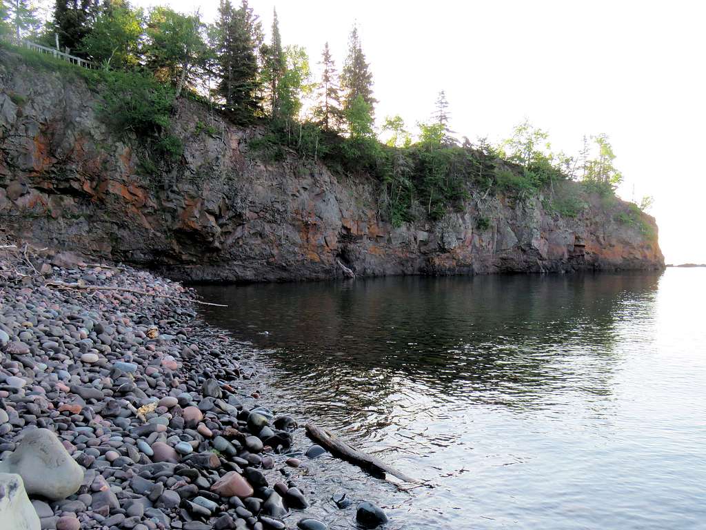
Mouth of the river where it empties into Lake Superior.
Looking back at the mouth of the river from the top of the cliffs.
Looking northeast at the early morning sun.
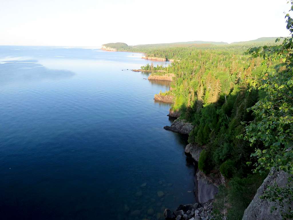
Palisade Head to the southwest.
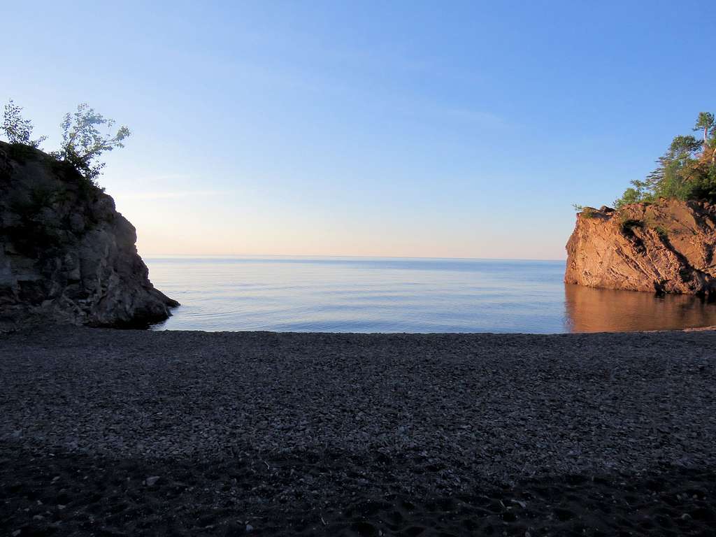
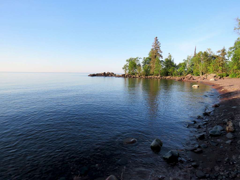
A spur trail went down 103 boardwalk steps plus sloped trail to reach the lake at a place called Lake Superior Beach.
Back to the main trail on top of the cliffs.
The amount of work that had gone into creating the boardwalk that formed much of the trail was amazing. In one spot I counted 227 boardwalk steps up to a high point at 775 ft elevation. Views from the high point.
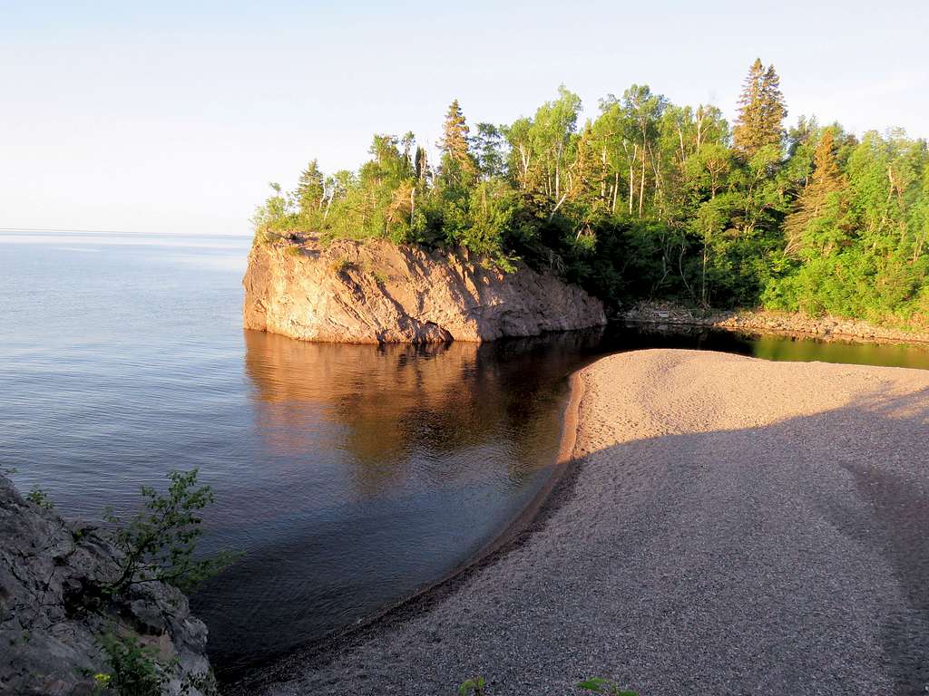
Followed the trail downhill to the end of it at a place called Shovel Point. A pleasant breeze was blowing. I was very happy.
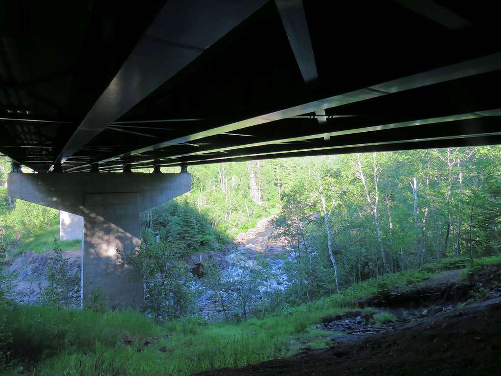
I then walked back to near where I had started my hike. Only saw 2 groups of people. The trail went north under the bridge over Baptism River following it uphill in a forest with no view of the river or anything else.
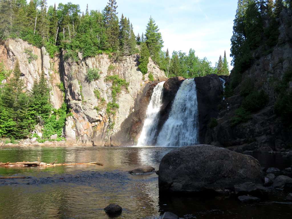
Went past the junction with the spur trail to Two Step Fall going up to 920 ft elevation, then going downhill until a spur trail took me down a number of steps to reach the base of High Falls at 8:18 a.m. 780 ft elevation. The waterfall was really scenic. Sat there to have my meal. A few people came and went.
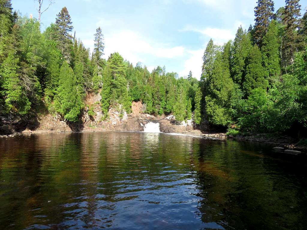
Left at 8:45 retracing my way back to the junction with Two Step Falls where a sign said 200 steps down to the falls. The spur trail did go down 200 steps plus other sections of sloped dirt trail altogether descending 250 vertical feet to reach a view point for Two Step Waterfall.
On my way back to the car, I ran into many other hikers.