
Comments
No comments posted yet.
|
|
Trip Report |
|---|---|
|
|
47.62790°N / 90.7753°W |
|
|
Jul 3, 2020 |
|
|
Hiking |
Moose (Lutsen) Mountain
The 1688 ft high Moose Mountain is a 1.75 mile long ridgeline that rises 1090 ft above the northern shores of Lake Superior 1.6 miles away from shoreline near the coastal community of Lutsen, Minnesota. The largest ski resort in Minnesota (Lutsen Mountain) sits on the southern slopes of Moose Mountain.
Oberg Mountain
The 1555 ft Oberg Mountain rises 950 ft above Lake Superior a short distance to the southwest of Moose Mountain. It has a relatively flat top with a number of clearings through the forest that can provide you with good views of Lake Superior to the south and Oberg Lake to the north. A 1.4 mile loop trail follows the periphery of the upper flat portion of the mountain giving access to view points. This loop can be reached by hiking half a mile from a trailhead on Onion Creek Road.
My Hike
I did a 9.6 mile one way hike from Lutsen Mountain Ski resort to Moose Mountain and then Oberg Mountain to end at the trailhead on Onion Creek Road Trailhead. Oberg Mountain provided me with good views but unfortunately, the forest blocked all views on the rest of the hike except for the spot on top of Lutsen Mountain ski runs.
Hiking Distance: 9.6 miles
Total Ascent: 1725 ft
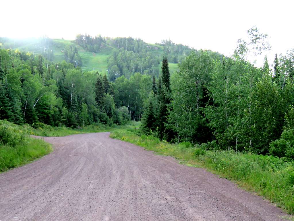
My wife Mary dropped me off at the trailhead on Ski Hill Road in Lutsen Mountain Ski Area at 6:10 a.m. (elevation 1260 ft). I asked her to pick me up at the trailhead on Onion Creek Road around 12 noon.
Got on Superior Hiking Trail heading west. The trail crossed Poplar River over a bridge.
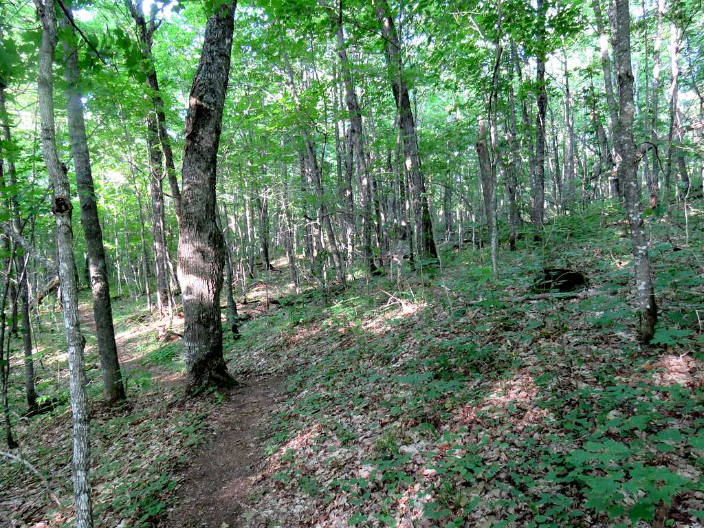
I then entered a forest with no views of anything and began to go up in elevation. Mosquitos immediately began to attack me and did not leave me alone until near the end of the hike. The bug repellent that I had brought with me turned out to be a “natural”, “free from harsh chemicals” product that proved to have no efficacy. Fortunately I had pants and long sleeves on but my hands and face were exposed. I soon reached a designated view point but found myself completely surrounded by bushes and trees. Kept walking around but there were no views to be had. I suppose in winter when the trees are bare, one could look north to see Poplar River Valley.
After 1.65 miles of hiking, I was up to 1650 ft elevation near the top of a mountain to the north of Moose Mountain. Kept looking for an open spot in the woods to see Lake Superior. There was only one such spot. Haze over the lake made it hard to distinguish it from the sky.
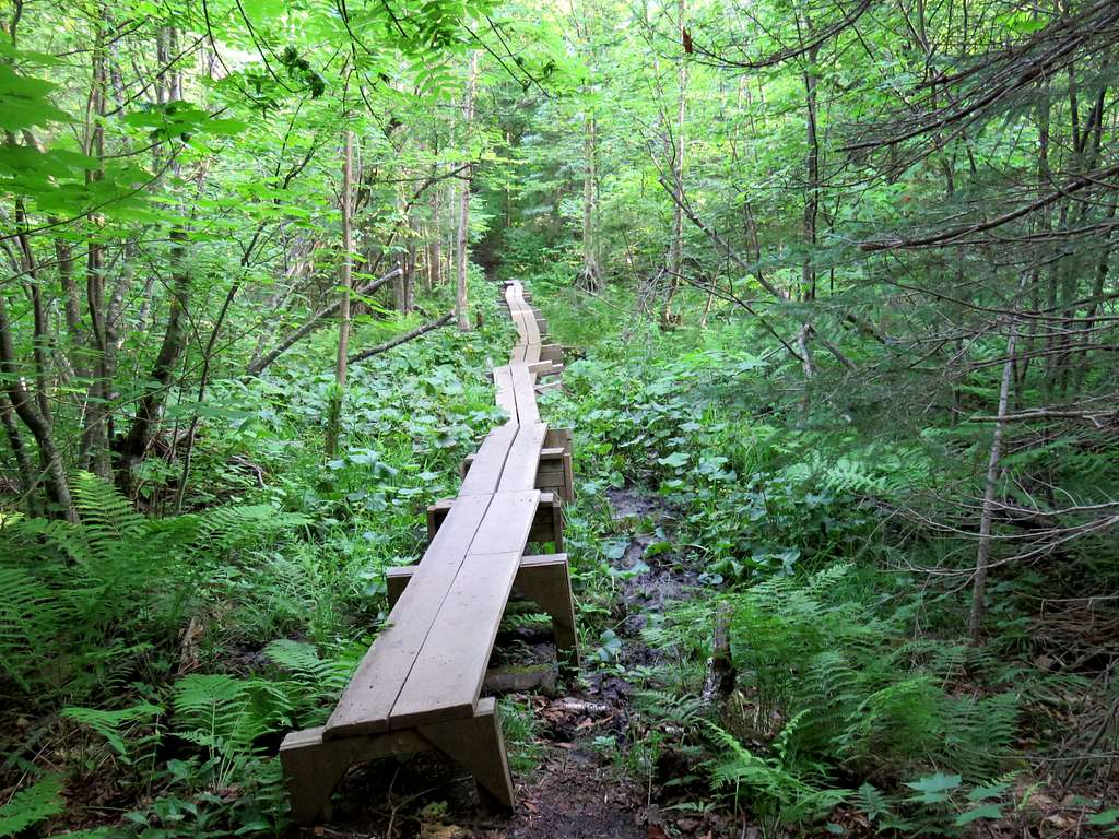
A lone backpacker went by. I then followed the trail down wide switchbacks in the forest to reach a boggy badly mosquito infested place at 1300 ft elevation. A wooden walkway saved me from sinking in the mud.
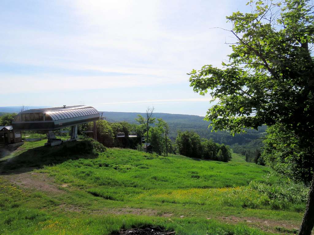
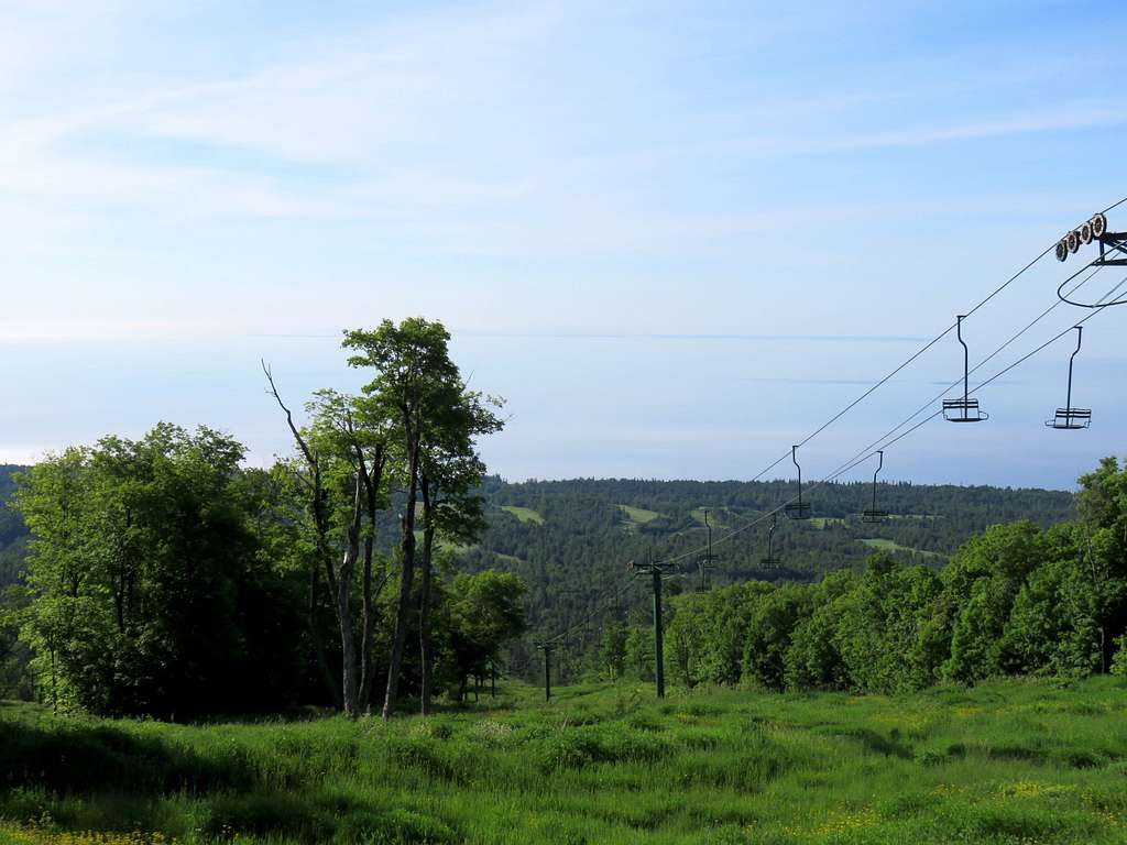
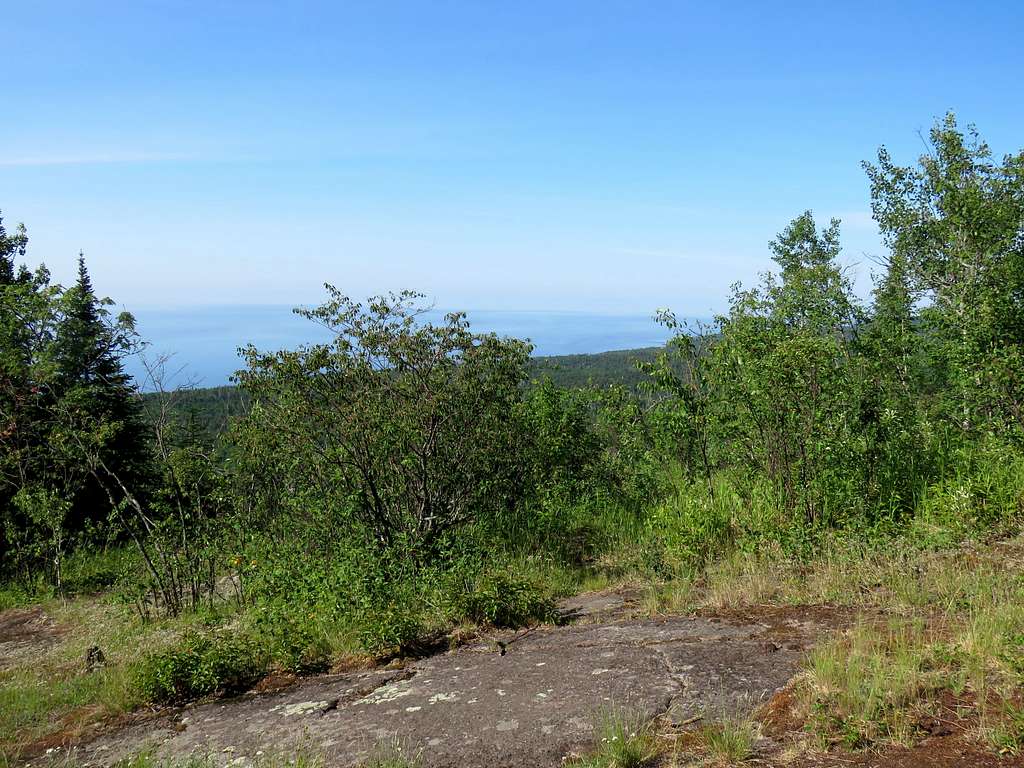
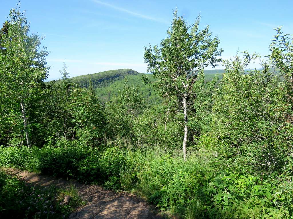
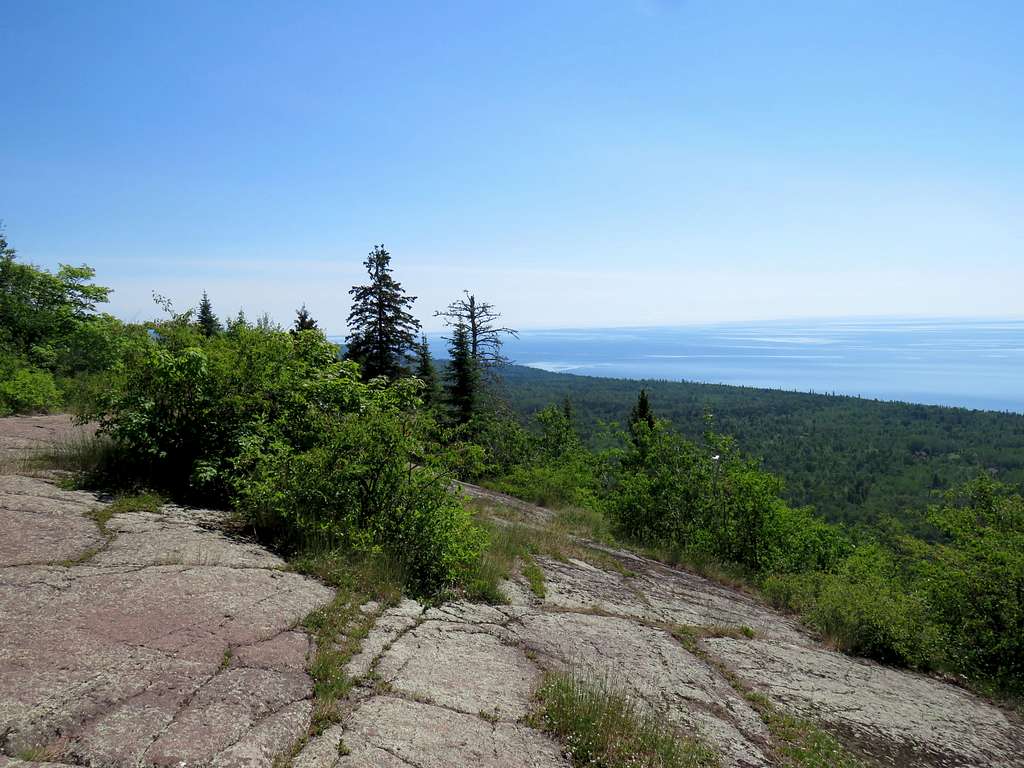
After crossing the buggy place, the trail began to go up the northern slopes of Moose Mountain steeply. As I went up, I kept hoping to get views but the forest blocked all views. At 7:50 a.m., 3.2 miles of hiking and 1600 ft elevation, I reached a spur trail that went to the top of Lutsen Mountain ski runs. I knew going there would be my only chance of getting any views. Got on the spur trail and followed it northeast just to the north and below the crest of Moose Mountain’s long ridgeline. Got on another spur off of the first spur trail and suddenly found myself on top of a ski run at an elevation of 1680 ft. Clear cut ski runs below me to the south provided me with views but Lake Superior still remained hazy and hard to distinguish from the sky. I was 1080 vertical feet above the lake.
Had something to eat and then followed the spur trail back to Superior Hiking Trail which headed southwest along the crest of Moose Mountain’s long ridgeline. I was getting frustrated with lack of views especially because I knew that Lake Superior sat 1000 vertical feet below me to the left and there was hilly terrain to the right but all I could see were the few trees in front of me.
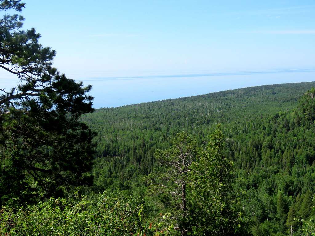
1.2 miles after the junction with the spur trail, I reached the southwestern edge of the long ridgeline of Moose Mountain at an elevation of 1475 ft. There was a clearing in the forest and I finally got a half decent view of Lake Superior. The haze had partially cleared.
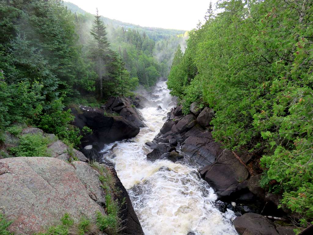
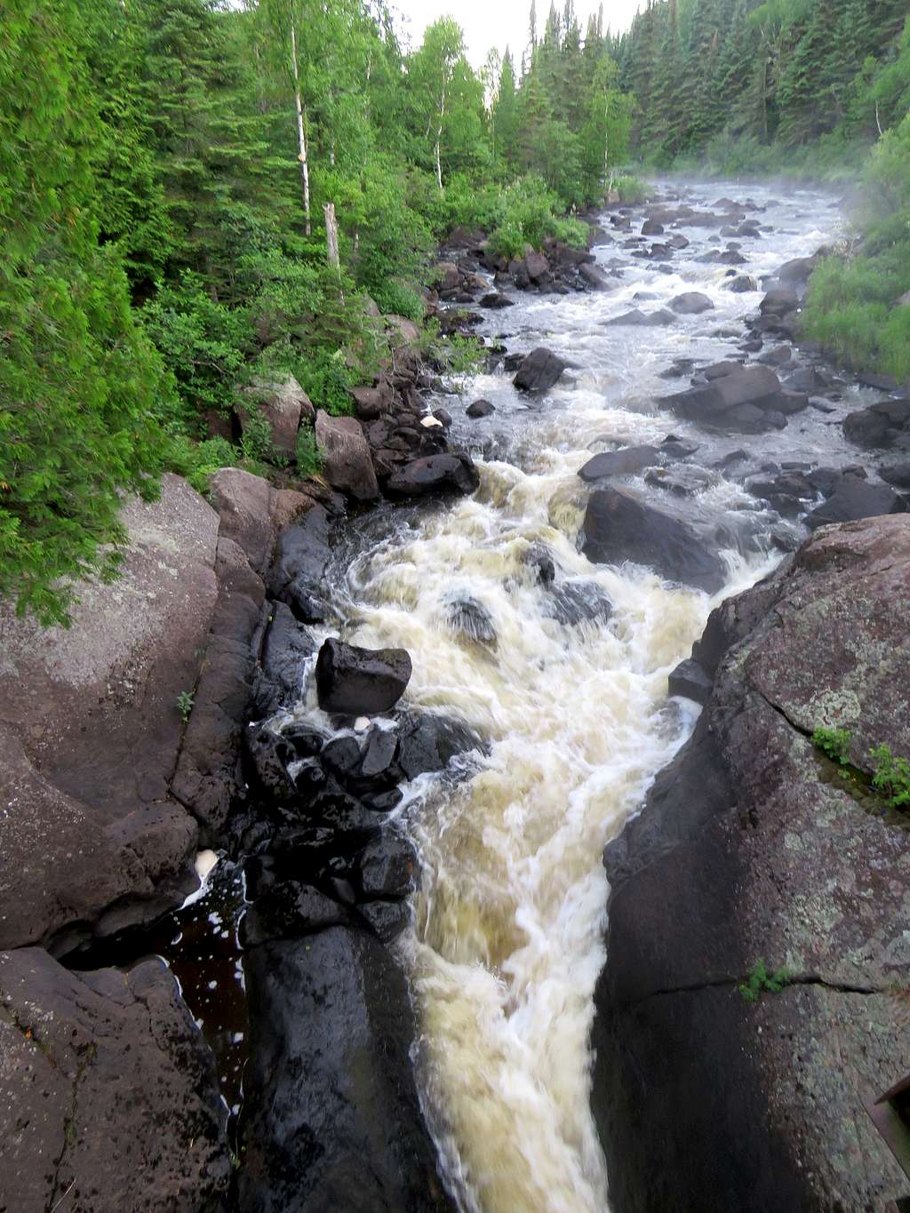
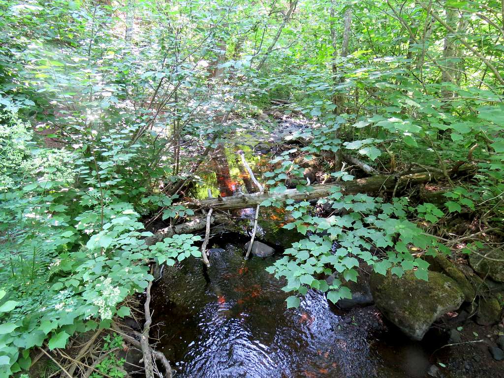
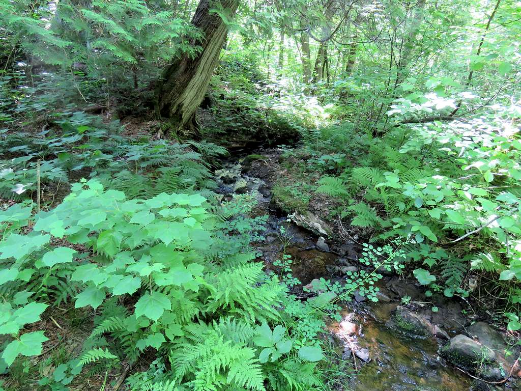
The trail then went back in the forest and in only 0.6 miles went down to 1060 ft elevation crossing Rollins Creek and then another creek.
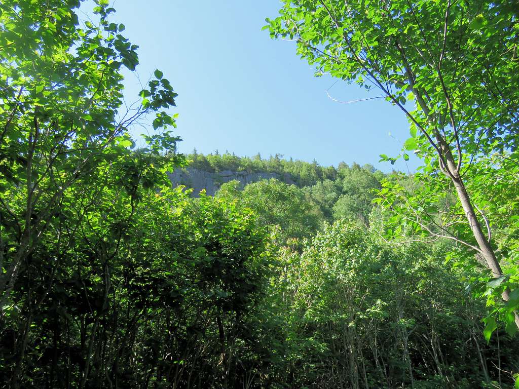
I was hot and sweaty. Mosquitos had become a real nuisance. I suddenly saw an opening in the canopy and a rocky wall above me. That must have been Oberg Mountain.
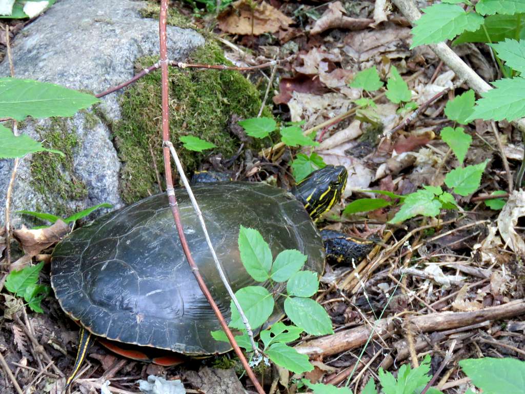
Turtle on the trail.
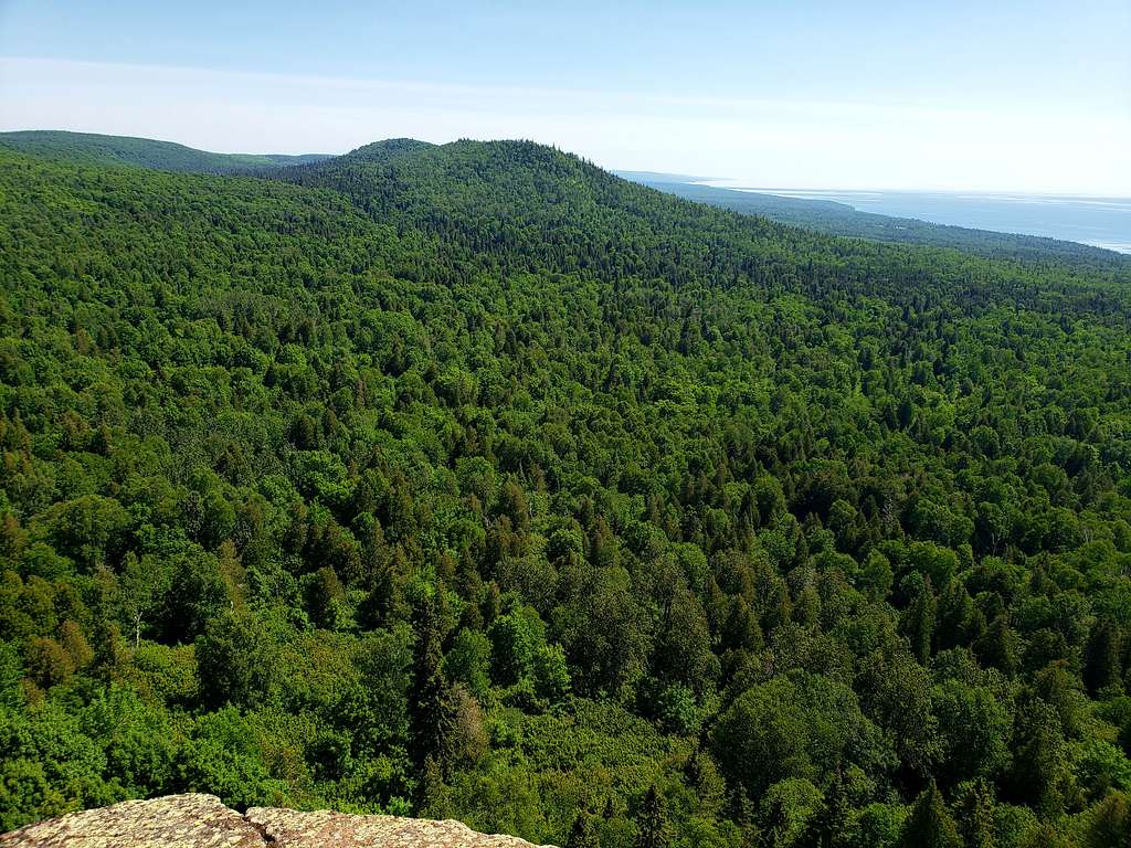
At 10:05 a.m., 7.24 miles and elevation of 1330 ft, I reached the junction with Oberg Mountain Trail. At that point, I was less than half a mile away from the trailhead on Onion Creek Road. Suddenly began running into people who had come from that trailhead. Went up to reach the loop on top of Oberg Mountain. The first clearing in the forest gave me views of Leveaux Mountain.
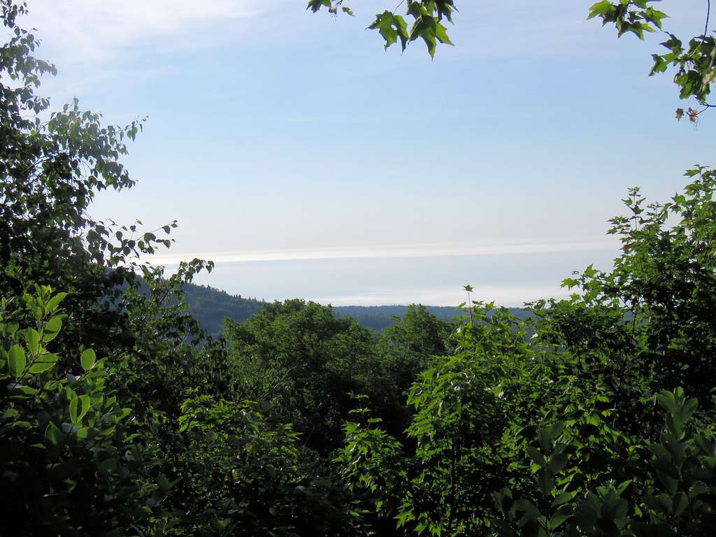
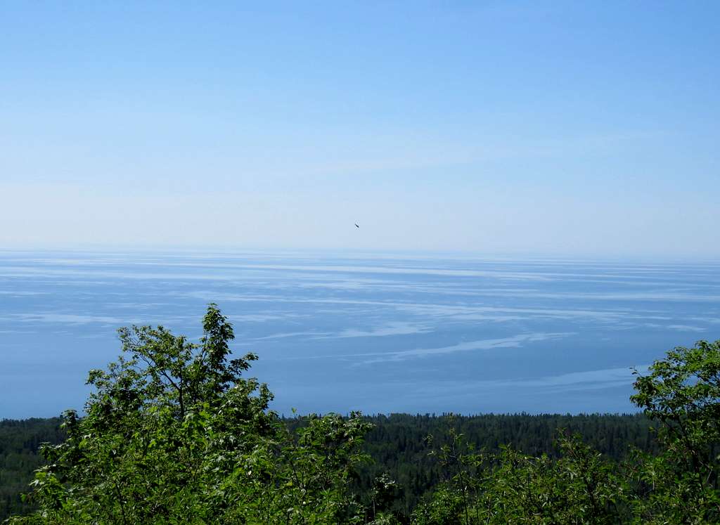
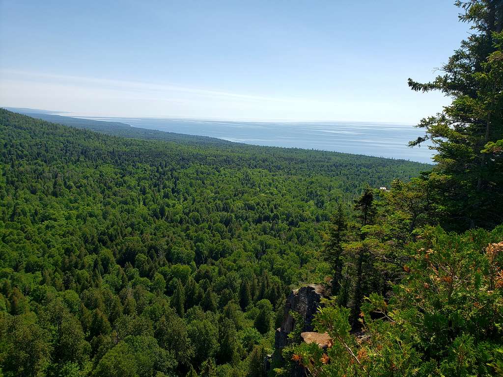
The next clearing in the forest on the southwestern side of Oberg Mountain gave me views of Lake Superior.
In the forest again to the next clearing with good Lake Superior views (850 ft above the lake). Had my lunch and called Mary asking her to come sooner.
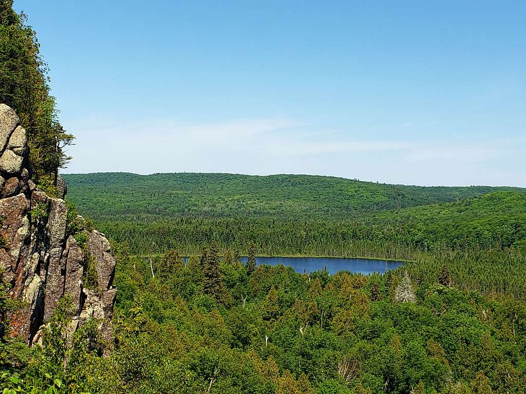
Next came views of Oberg Lake and Moose Mountain.
Made it to trailhead on Onion Creek Road at 11:20 a.m. where the beloved wife was waiting for me. A lot of people were there.