
-
 36989 Hits
-
 89.76% Score
-
 30 Votes
|
|
List |
|---|---|
|
|
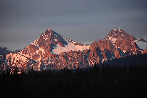
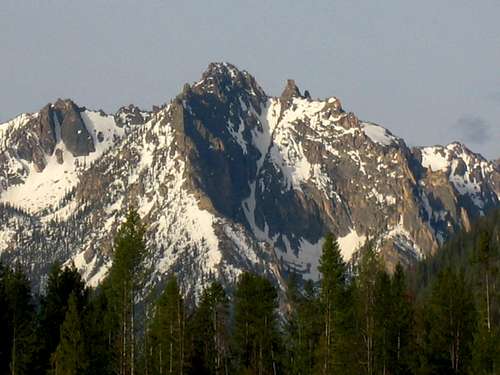
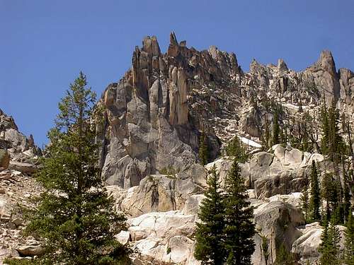
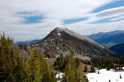
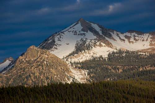
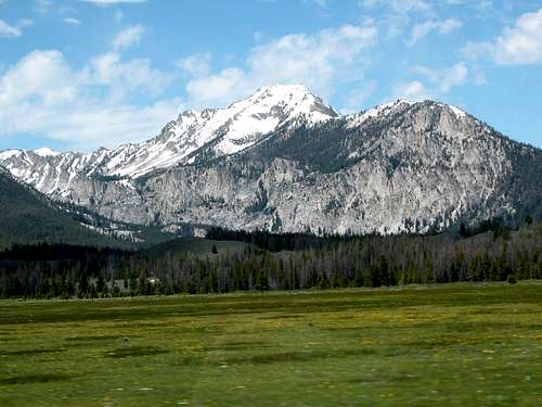
Top 10: Easy Peak Scrambles in the Sawtooths
| Peak | Route | Class | RT Distance
(miles) |
Elevation
Gain (Feet) |
RT Time
Range (hours) |
Notes | Image |
| Observation Peak | East Ridge via Grandjean | 1 | 12.2 | 4405 | 5-8 | The only Sawtooth peak with a trail to the top. Can be approached from Stanley Lake or Grandjean. This peak affords tremendous views of the range, particularly Regan and the Warbonnet area. Possible early / late season hike compared to the rest of the range. Trail is good by Sawtooth standards, mediocre by general standards. Possible snowshoe / ski options. Approach road to Grandjean does get snowed over. |
 |
| Alpine Peak | West Slopes | 2-3 | 11.7 | 3481 | 4-8 | This is one of the most popular peaks to climb in the range. Not only do you get to scale a great peak, but you hike up to scenic Sawtooth Lake, one of the most scenic spots in Idaho. Leave the trail about 2/3 the way south along the lake. Follow the path of least resistance up the scree slopes (represented on the topo) to the summit. This is a great backpacking area- Sawtooth Lake, Alpine Lake, Iron Creek. |
 |
| Grand Mogul | Northeast Ridge | 3 | 8.7 | 3538 | 3-7 | The Grand Mogul sits at the end of Redfish Lake, clearly visible from the Redfish Lodge and all summer visitors. This area is one of the most popular in the range and the route assumes you utilize the shuttle boat ride (fee). From the Redfish Inlet the trail climb up onto a moraine and you cross the avalanche gully. There is some route finding challenges, but there is also many ways to reach the top via Class 3 or below. The summit has tremendous views. The north side of this peak has one of the great couloir climbs in the range- The Chockstone Couloir. |
 |
| Payette Peak | East Face | 2-3 | 16.3 | 3876 | 8-12 | Payette Peak is tucked in the backcountry above Imogene Lake, but offers a pretty straight forward scramble with awesome and unique views of the range. Imogene Lake and the unnamed lakes above offer great backpacking options. The upper Hell Roaring trailhead is reached via a very rugged 5 mile road (high clearance required). The trail to Imogene lake is excellent, although it really wanders to avoid steep climbs. The scrambling above Imogene Lake is about as easy and carefree as anything in the range. The summit affords views of upper Payette River amongst other rarely seen sites. |
 |
| Braxon Peak | East Ridge | 3 | 7.5 | 3925 | 5-8 | This interesting scramble requires some route finding but it takes you up into a tiny lake basin and along a ridge next to the Rotten Monolith. Assuming the Redfish shuttle boat is utilized this is a reasonable outing with outstanding views of the Elephant's Perch. and other peaks near the Grand Mogul. Unlike other routes, to successfully reach the summit via Class 3, one must find the side gully where you leave the trail, and the gully that runs from the small nestled lakes north to the Braxon ridge. |
 |
| Abe's Armchair | East Ridge | 2-3 | 3.7 | 2657 | 3-6 | Located in the southeastern part of the range, this peak is not typical Sawtooth in nature, but it affords a relatively short and steep slog. In addition, the summit can be reached from nearly every direction and combined with nearby Vienna Peak. Because of the short approach, this peak can be snow-shoed or even skied. There is a climber's trail along Sawmill Canyon. |
 |
| Imogene Peak | East Ridge | 3 | 7.0 | 3185 | 4-8 | The East Ridge is preferred over the South slopes because it has less scree and looseness, but it does require more careful route finding. Imogene sits at the eastern front of the ridge that has Payette Peak and Mt. Cramer. This peak is located above many beautiful lakes- Yellow Belly, Farley, McDonald, and Imogene. The best spot to start is at Yellow Belly and the road in is decent, not great. |
 |
| Decker Peak | South Ridge | 3 | 11.0 | 3990 | 6-9 | Decker Peak is the 3rd tallest in the Sawtooth Range, yet chances are you will have this peak to yourself. From the Decker Creek valley pick your way up the SE slopes, avoiding large, unstable boulders. Once on the ridge, follow it north to the summit. Typical approach starts at upper Hell Roaring, but there is also a Decker Flat option that avoid that awful road. |
 |
| Parks Peak | South Open Slopes | 3 | 10.9 | 4133 | 5-8 | As one of the taller peaks in this part of the range, Parks towers above the Alice Lakes trail (one of the most popular backpacking options) and has good views of the southern Sawtooths. There are many options to gain the summit- utilize scree or more solid rock for your ascent. The northernmost point on the ridge is considered the high point. |
 |
| Grandjean Peak-West Summit | North Slope | 3 | 8.4 | 4178 | 5-8 | Grandjean Peak is one of the most complex set of towers in the Sawtooths comprised of 5 rock towers. The true high point is the east summit 9144, but that requires ropes and serious route finding. The west summit 9105 is where a summit register is and it makes for a great scramble. Because of it's northern exposure, this route is recommended during summer only. In addition, Baron Creek could be difficult to cross during high water. A trip report of the entire traverse from west to east can be found here. |
 |