
|
|
Mountain/Rock |
|---|---|
|
|
37.77158°N / 107.78562°W |
|
|
San Juan |
|
|
13432 ft / 4094 m |
|
|
Overview

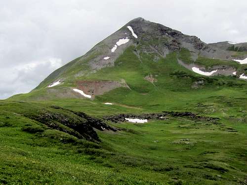
The north face of the northeastern twin
Twin Sisters rise in the San Juan Mountains of southwestern Colorado near the town of Silverton. With an elevation of 13432 ft, the northeastern twin (Twin Sisters East) is the higher peak. The lower twin has an elevation of 13374 ft and sits to the southwest. A 12980 ft saddle separates the twins. This gives the lower twin 394 ft of prominence making it an independently ranked peak. This page will provide hiking information only about the higher twin.
Every source that I have ever seen, recommends approaching the Twin Sisters via Rico-Silverton Trail. That route seems to expose you to nasty scree slopes and will require you to first make it to the top of Point 13205 ft and then the lower twin before reaching the higher one. As an alternative, I will describe here a route via a forgotten trail that takes you to the base of the summit of the higher twin where you can go up steep grassy slopes to reach the summit.
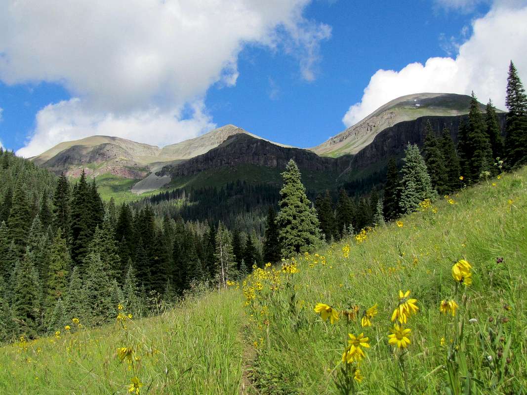
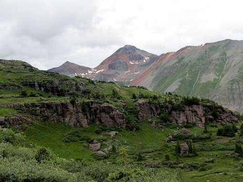
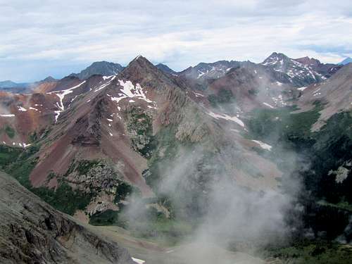
Southeastern face, right to Left: Northeastern Twin 13432 ft, Southwestern Twin 13374 ft & Point 13205 ft
Getting There
From the town of Silverton drive 2 miles north on Route 550 and turn left onto the South Mineral Campground Road. This is a well graded dirt road passable by any car. Drive roughly 5 miles to reach the campground. Parking area is available across from the campground. Beyond this the road will require 4 wheel drive and will be described below as part of the hiking route.
Route
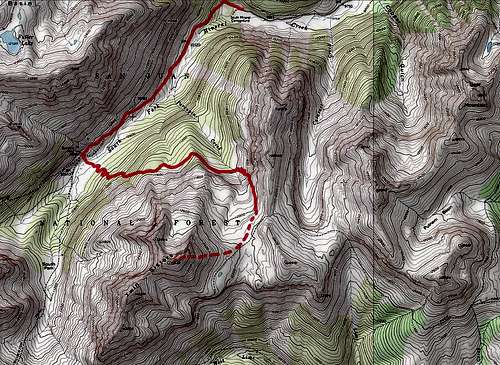
Near the parking area, you may see a sign for Ice Lake Basin Trail. That is obviously not where you want to go. Get on the four wheel drive road and start to hike or drive the road along the South Fork of Mineral Creek. As you go, the northeast twin will come to view and then go out of view.
 Twin Sisters East
Point 13156 ft (where the road to Clear Lake goes) can be seen behind.
 Point 13156
Porcupine Creek can be seen to the left.
 Porcupine Creek
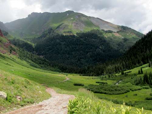
After 2 miles, you will reach the abandoned Bendora Mine (I did not look for and did not see any sign of a mine). The road ahead begins to go downhill toward South Park. You need to leave the road here and get on the nameless trail. A beaten path may be found in the grass going 100 vertical feet straight down the slope to reach the South Fork of Mineral Creek. You will have to cross the creek. When I did the crossing, the water was ankle deep getting me wet. Depending on the flow, the water may obviously become even deeper. The GPS coordinates for where I crossed the stream are: 37:47.253 North, 107:47.788 West.
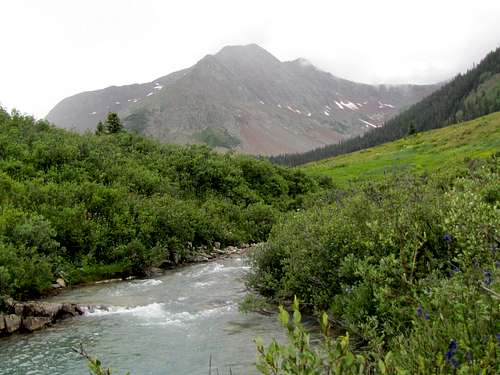 Rolling Mountain from creek crossing
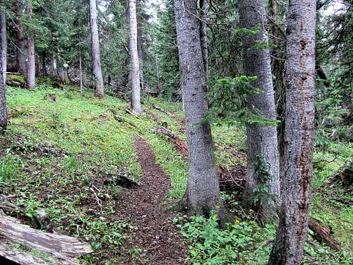
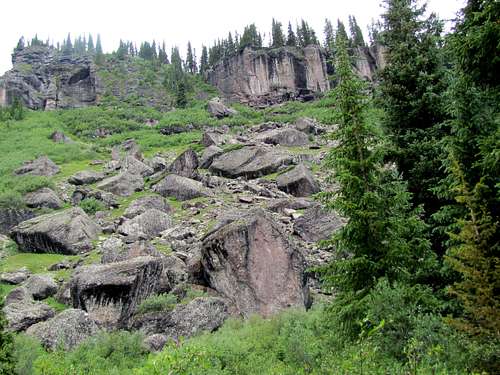
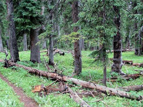
Immediately after the creek crossing, the trail seems to follow a dry streambed. When I was in the area, the trail quickly appeared and remained well established after this. It made a number of switchbacks in an opening in a pine forest going up steeply before going deep into the pine forest.
 |
 |
Fuller peak and the stream below it will be well visible.
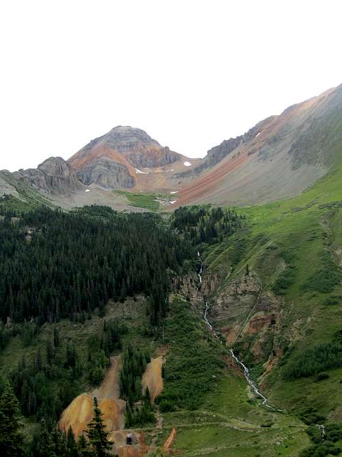 Fuller Peak
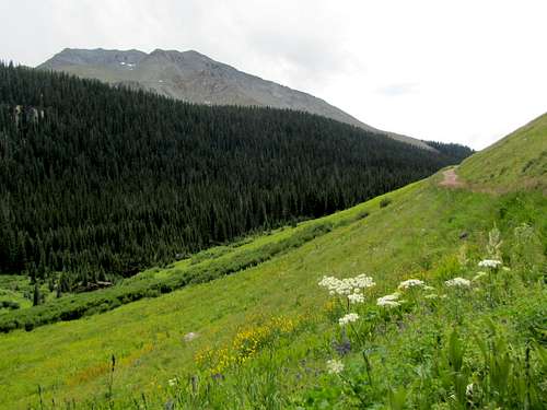
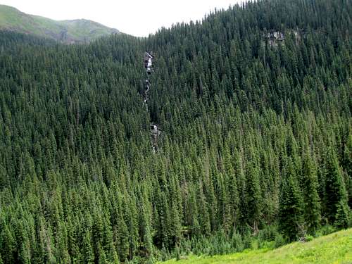
The trail will take you up to some 11300 ft or so where you will reach the base of a huge scree field on the slopes of the higher twin. It will then go 100 vertical feet down to go around the field.
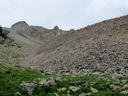 Scree field
Following the trail in the forest.
 |
 |
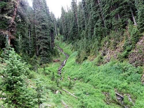
You will then go down another 100 vertical feet to cross Porcupine Creek.
 Porcupine Creek
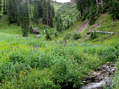
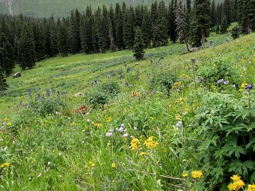
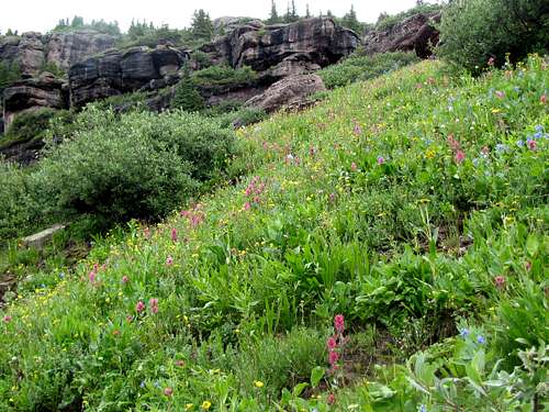
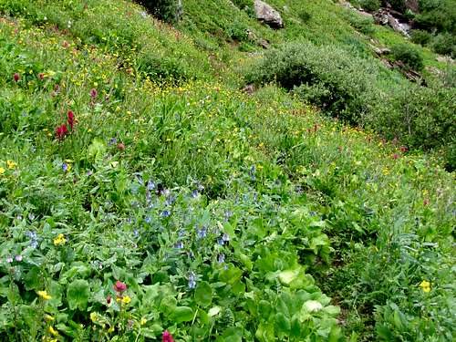
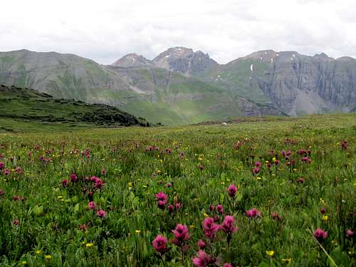
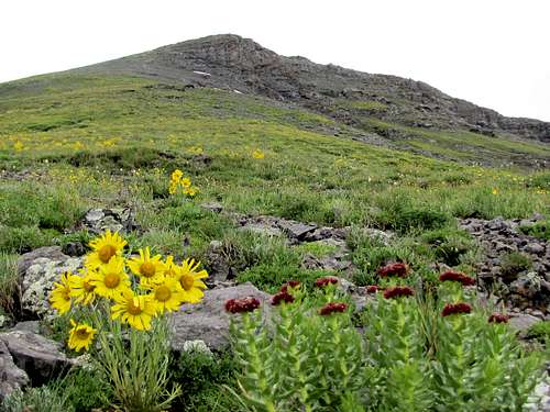
You will soon go above tree-line going up a slope covered with beautiful alpine flowers.
 |
 |
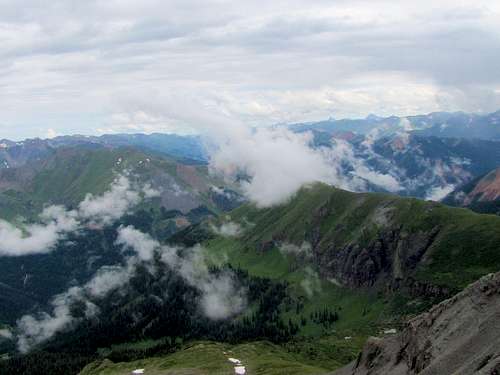
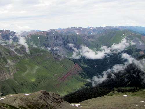
View of the nearby peaks.
 Fuller & Beattie Peaks Fuller & Beattie Peaks |
 US Grant, V2 & V3 US Grant, V2 & V3 |
 Fuller Peak & Golden Horn Fuller Peak & Golden Horn |
 Lookout Peak & V2 Lookout Peak & V2 |
As you go higher, the false summit of the northeastern twin will come to view.
 False summit of Twin Sisters East
At just below 12100 ft, you should leave trail and hike over the grassy slopes to reach the base of the summit.
 Grassy slopes
Hike up the steep but otherwise easy grassy slopes to the false summit and then the real summit just behind. Views from the summit.
 Uncompahgre & Wetterhorn Uncompahgre & Wetterhorn |
 Mt. Sneffels Mt. Sneffels |
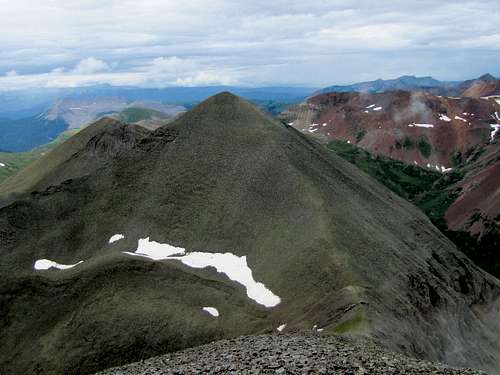 Lower Twin Lower Twin |
 Engineer Mountain Engineer Mountain |
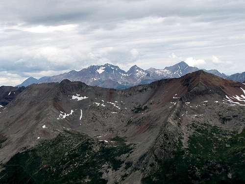
 Snowdon & the Grenadiers Snowdon & the Grenadiers |
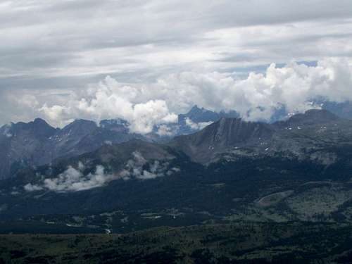
 Ice Lake Basin Peaks Ice Lake Basin Peaks |
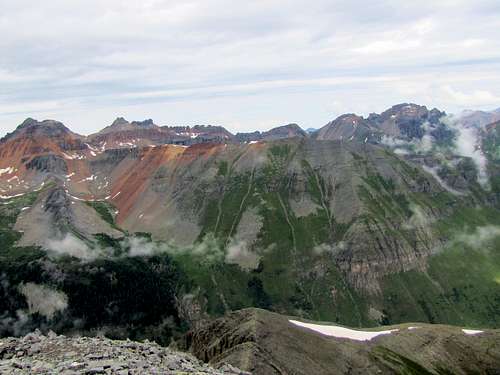
 The Wilson Group The Wilson Group |
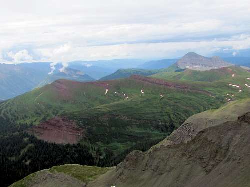
 Rolling Mtn, San Miguel, Grizzly Rolling Mtn, San Miguel, Grizzly |
Red Tape
No fees or permits required.