
|
|
Mountain/Rock |
|---|---|
|
|
39.16380°N / 106.56773°W |
|
|
Pitkin |
|
|
Hiking, Mountaineering |
|
|
Spring, Summer, Fall |
|
|
13001 ft / 3963 m |
|
|
Colorado’s lowest ranked 13er
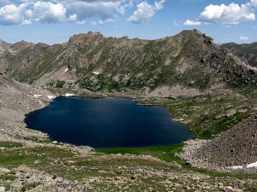
Back in the overlooked reaches of Colorado’s Sawatch Range, standing amongst an area characterized by green valleys carved long ago by forgotten glaciers, stands a lowly three-humped mountain. A humble peak which demands almost no attention be paid to it except for one notable fact....in a state that boasts 637 ranked 13ers, UN 13,001 holds the distinction of being the lowest member of this lofty group.
UN 13,001 may be a humble mountain, yet due to the fact that it resides in a neighborhood full of 13ers, its modest stature is enough to allow it to break the 13,000 foot elevation mark. The space surrounding UN 13,001 is a beautiful area which is fairly well traveled due to its easy access from Colorado Highway 82, and its proximity to the veritable “outdoor” playground of Aspen. Despite the fairly regular foot traffic, the area to the south of UN13,001 is still a nice place to go to be amongst the mountains, and to lose yourself within the alpine world. It is also very possible to visit this area at the right time of the year, and week, and to not see another soul. In contrast to the easy accessible area to the south of the mountain, the area to the north is quite the opposite, and provides a much less traveled wilderness experience.
Summer and early fall are the best times of year to climb UN 13,001, if not for the simple reason that Highway 82 over Independence Pass is closed typically from late October through late May.
Getting There
The upper (east) trailhead of Lost Man Trail provides the most direct
From Aspen: drive 18.5 miles east of Aspen on Colorado Highway 82 to the switchback where the road crosses the Roaring Fork River, the trailhead parking is on the north side of the road.
From Twin Lakes Reservoir south of Leadville: Drive west on Colorado Highway 82 to Independence Pass. Continue past the pass for 1.9 miles to the switchback where the road crosses the Roaring Fork River, the trailhead parking is on the north side of the road. The lower trailhead is 4 miles down the road to the east.
UN 13,001 could also be accessed from the north by a much longer approach that takes the South Fork Pass Trail as it follows the South Fork Fryingpan River up to its source. UN 13,001 stands at its head of this drainage. Starting at Basalt, CO, The Fryingpan Road (Co Rd 4) provides access to this Trailhead. (The Fryingpan Road also goes to the Ruedi Reservoir.)
Red Tape/Hunter-Fryingpan Wilderness
UN 13,001 resides within the Hunter-Fryingpan Wilderness, and the standard Wilderness Area regulations apply.Hunter-Fryingpan Wilderness
White River National Forest
Camping
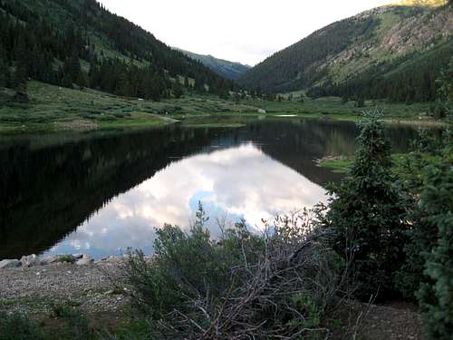
You can camp at the Lost Man Campground,
Lost Man Campground
You can also camp within the Hunter-Fryingpan Wilderness. Be sure to abide by the Wilderness Area regulations. Please also be kind to the fragile alpine ecosystem.
Current Conditions and Weather Forecast
The Weather Channel
National Weather Service Spot Forecast
To check the status of CO 82 Independence Pass please visit: www.cotrip.org
Google Map
View Larger Map