
|
|
Mountain/Rock |
|---|---|
|
|
39.16170°N / 106.5518°W |
|
|
13202 ft / 4024 m |
|
|
Hunter Frying Pan Overview
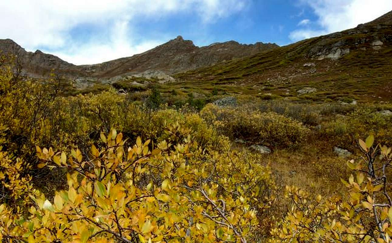
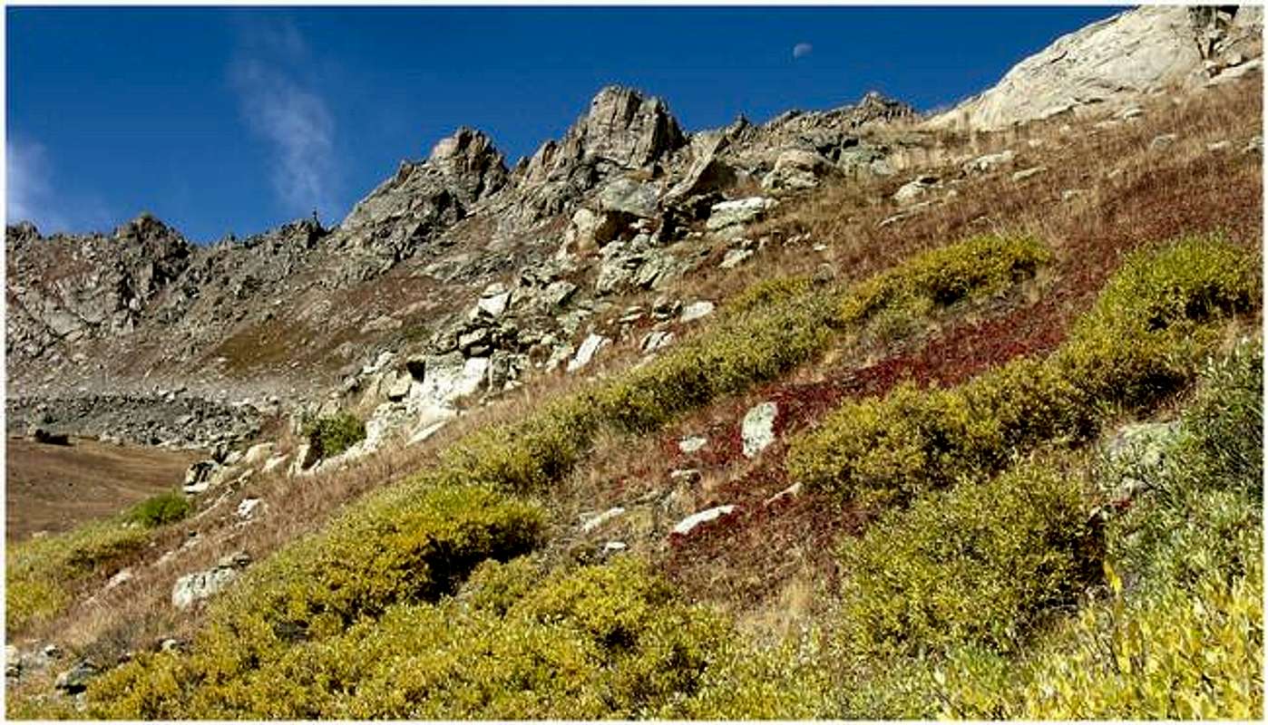
Over time, the mighty Gods of erosion have rendered some nice handiwork northwest of Colorado's highest paved pass, Independence Pass. If you're climbing Sawatch 14ers, expect a different kind of Sawatch. Beginning with the rounded ridges and immense bulk of Mount Oklahoma, terrain east and southeast of the Divide gradually gives way to smaller, more shapely peaks. A lot of these peaks are bridged together with skinny ridges, which make for excellent class 3 scrambling. These are the mountains that seem to go on forever looking west from the popular 14ers Mount Elbert and Mount Massive. These are the mountains of the Hunter-Fryingpan Wilderness. Most of these high 12'vers and low 13ers are unnamed, which isn’t a bad thing when you’re looking for solitude.
UN13,202 & Point 13,150
Along Colorado’s Continental Divide, just northeast of Twining Peak/“Blue Peak” and Point 13,545, rests UN13,202 and Point 13,150. Together with neighboring Deer Mountain, these 13er summits anchor the very northern end of the North Fork Lake Creek Drainage, a place with excellent accessibility from the paved CO 82. The above highpoints provide a natural boundary between the Mount Massive Wilderness to the south and the pristine Hunter Frying Pan Wilderness to the north.
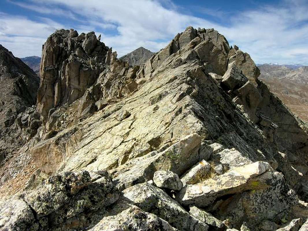
UN13,202 is an officially ranked Colorado 13er with 422 ft of elevation rise and 2 miles of ridge between it and Twining Peak, the parent peak. This 2-mile ridge harbors many high points including Point 13,250, Point 13,545, and Point 13,366. All of them make for worthy side trips especially Point 13,150. Combining all of the mentioned highpoints can be done, however the ridge between Point 13,336 and Point 13,150 is too steep and rugged to be climbed safely. This section of ridge resides just east of Lost Lake. You can avoid this section by descending east from Point 13,150 and traversing below the difficulties to Point 13,366’s northeast slopes. The rock on this ridge is surprisingly good, but be aware of a few loose gullies, which require careful climbing. The scrambling is fun class 3 with an occasional class 4 move, climbing here is as difficult as you want to make it.
Getting There
Red Tape
USGS 7.5 minute quadrangle: Winfield
Trails Illustrated #129 Buena Vista/Collegiate Peaks
2015 North Poplar - Leadville, CO - 80461
Phone (719) 486-0749
Fax (719) 486-0928
Mountain Conditions
Click image to enlarge
Click here to view a 7-day forecast for UN13,202 and Point 13,150-ft at 13,000-ft in rural Lake County
