Overview
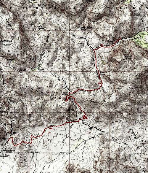
Two days before this hike, on the internet, I had read about Upper La Barge Box Canyon. The writer had said that unlike Lower La Barge Box Canyon, Upper La Barge Box Canyon was not spectacular but certainly was worth a visit. Looking at my maps, it appeared that I could combine the eastern parts of Dutchman Trail with Whiskey Spring and Red Tank Trails to reach Upper La Barge Box Canyon. The sources that I had did not give the distances between trail intersections so I did not know how long the hike would turn out to be but I had estimated it to be around 15 miles.
![Map]() Map
MapGetting There
Left our rental house near the Superstition Mountains at 6 a.m. Drove a few miles east on Route 60 to the well signed Peralta Road. Followed the well graded dirt road 7 miles to the end of it at Peralta Trailhead (which serves as trailhead for Peralta Canyon, Bluff Springs and Dutchman Trails)..
Hike Statistics
All distances and Total Vertical Uphill are per my GPS measurements.
| Place | Elevation | Distance |
| Peralta Trailhead | 2400 ft | zero miles |
| High Point | 2540 ft | - |
| Low Point | 2350 ft | - |
| Coffee Flat Trail Jct | 2580 ft | 2.75 miles |
| Miners Summit/Whiskey Spring Trail Jct | 3250 ft | 1.60 miles |
| High Point | 3380 ft | - |
| Red Tank Trail Jct | 2780 ft | 2.15 miles |
| End of my hike | 3040 ft | 0.70 miles |
| Total Roundtrip | - | 14.40 miles |
| Total vertical uphill | 2580 ft | - |
Trip Report
There were a few people at the trailhead but every one of them must have gone on Peralta Canyon Trail. I did not see a single person during the 7 hours that I was on the trail. I was in the shade but the sun was shining brightly over the rocky face that rose immediately to the west of the trailhead.
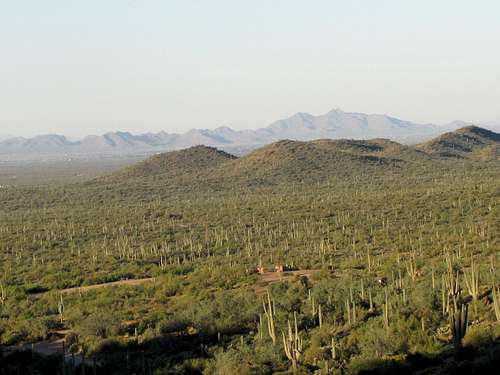
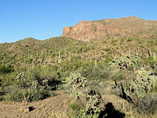
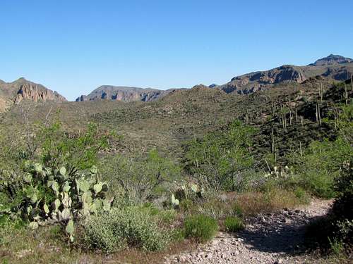
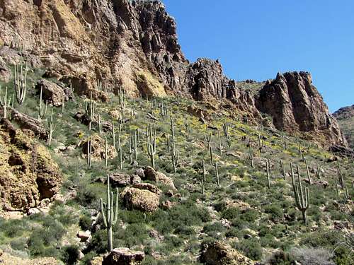
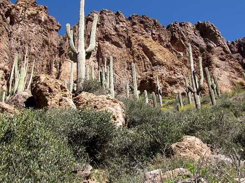
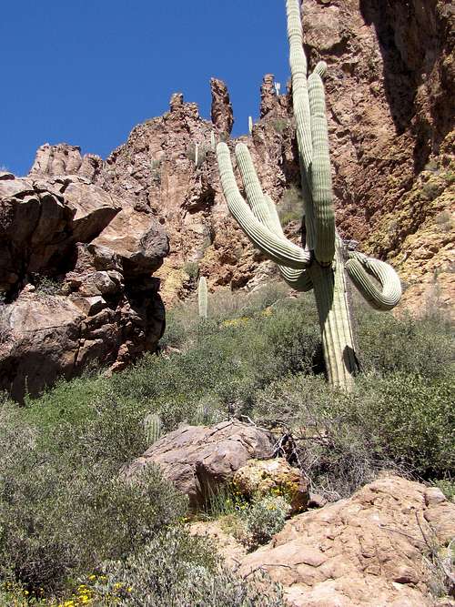
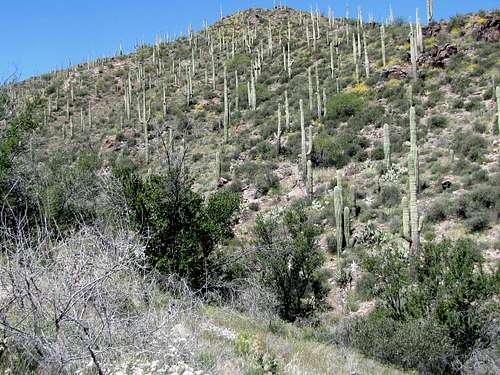
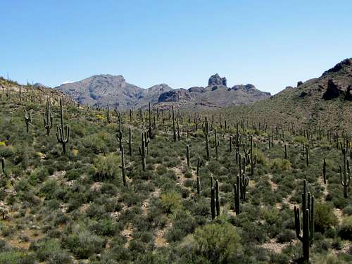
Started the hike at 6:50 a.m. by going on Dutchman Trail. It went up to a high point where I got a good view to the southwest. A big plain separated where I was from the San Tan Mountains to the southwest. Saguaro cacti grew all over the plain below me.
![View of San Tan Mountains]() View of San Tan Mountains
View of San Tan Mountains
I then came out of the shade.
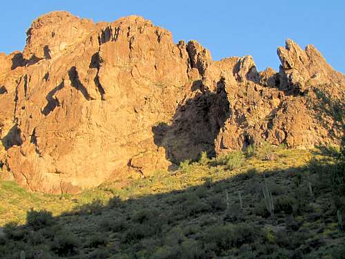
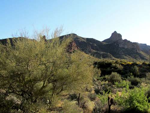
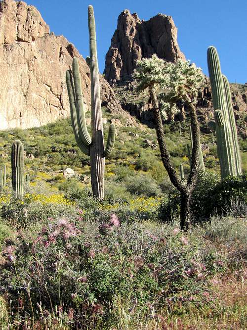
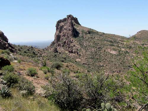
The 3648 ft high Miners Needle came to view to the east. The sun was behind it making it appear as a big shadow.
![First view of Miners Needle]() Miners Needle
Miners Needle
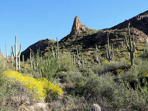
The trail went down a short distance and then headed east on a plain at the southern edge of the mountains. The early morning sun was shining directly on my face. I was getting closer to Miners Needle.
![Miners Needle]() Miners Needle
Miners Needle![Miners Needle]() Miners Needle
Miners Needle
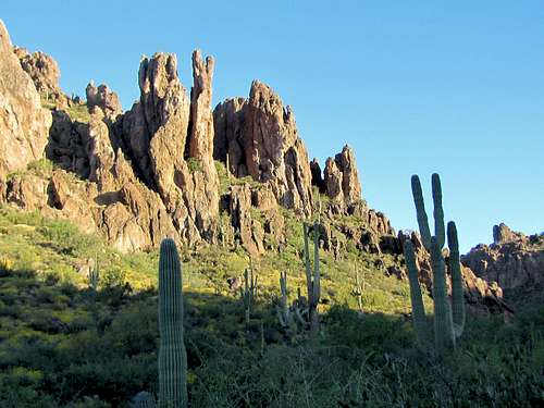
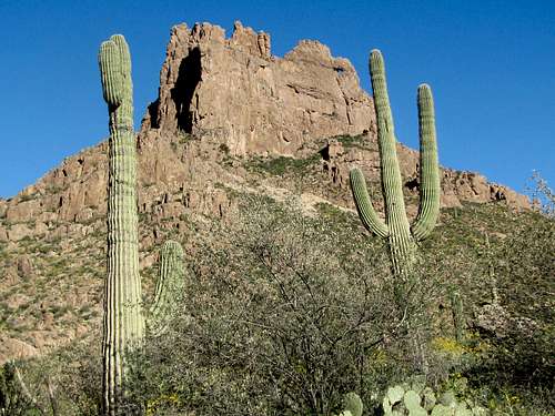
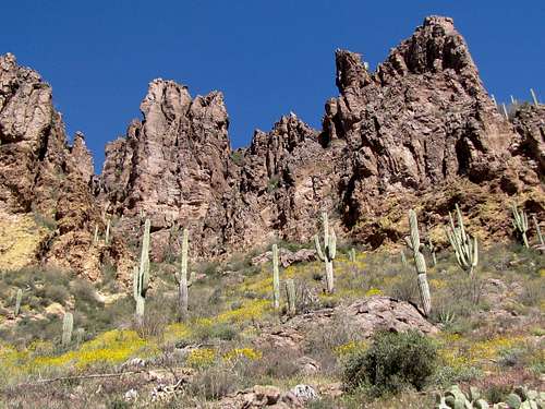
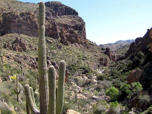
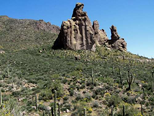
At 7:53, after 2.75 miles, when I was at the southeastern base of Miners Needle, I reached the junction with Coffee Flat Trail but I stayed on Dutchman Trail. I could now see a small tunnel in the upper cliffs of Miners Needle.
![Tunnel in Miners Needle]() Miners Needle, note the tunnel on the right
Miners Needle, note the tunnel on the right
The trail began to make many twists and turns going up a valley to the east of Miners Needle toward Miners Summit.
![Miners Summit]() Going up toward Miners Summit
Going up toward Miners Summit
I soon reached the north side of Miners Needle. I could now see the other side of the tunnel I had seen earlier.
![North face of Miners Needle]() North face of Miners Needle, note the tunnel on the left
North face of Miners Needle, note the tunnel on the left
At 8:41 a.m., I was at the 3250 ft Miners Summit.
![Looking north from Miners Summit]() View north from Miners Summit
View north from Miners Summit
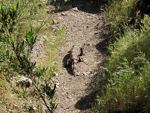
Left Dutchman trail and went on Whiskey Spring Trail which went further up to a 3380 ft high point. I then saw something crawling on the trail. I recognized it as a Gila Monster. Although I had seen Gila Monsters on nature shows on TV, I had never seen a real one (I did not know that only 2 days later I will see another Gila Monster on
Fraser Canyon Trail). It was either a slow moving animal or did not care about my presence. Very slowly, it moved out of the trail going under the bushes.
![Gila Monster]() Gila Monster
Gila Monster
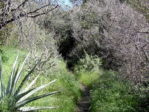
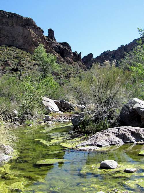
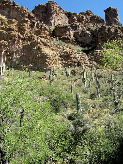
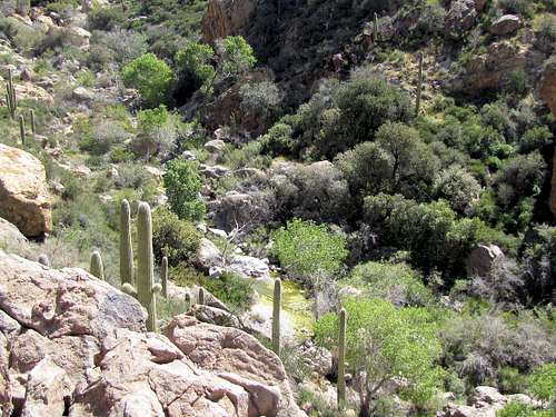
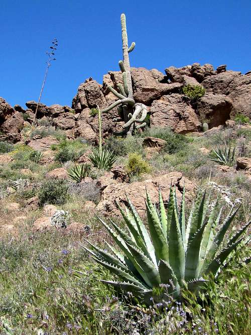
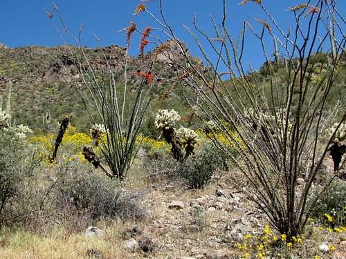
The trail went down the slopes steeply to reach a creek that had a small amount of running water and then followed the creek downhill. The banks of the creek were very lush having a thick growth of bushes and real trees (not just cacti) providing a cool welcoming area.
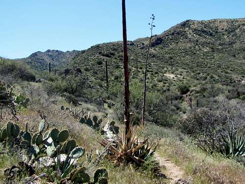
In places where the trail went away from the creek, desert flora came back again.
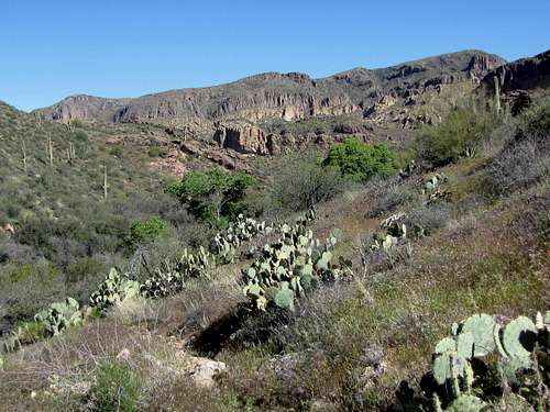
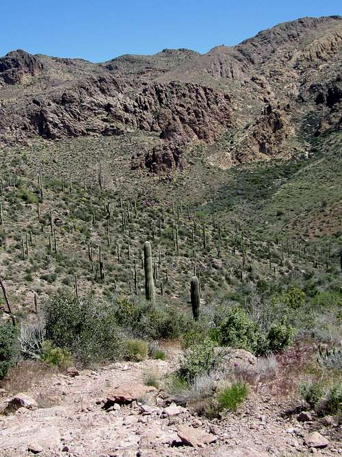
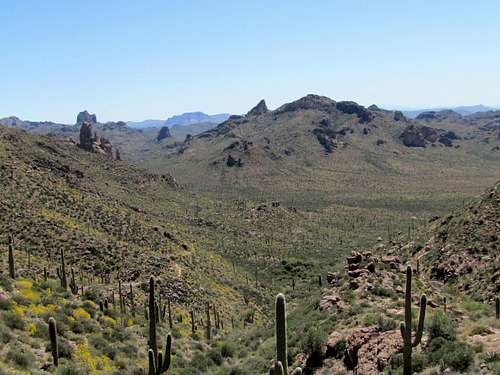
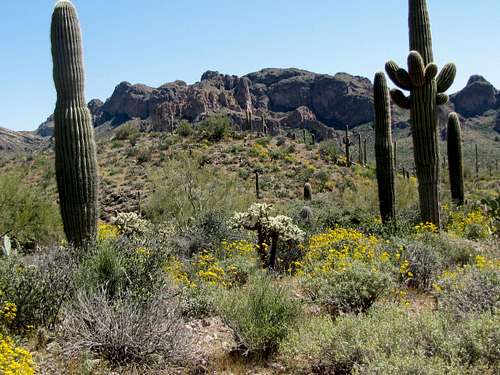
As I went lower in elevation, La Barge Canyon, where Red Tanks Trail runs, came to view.
![La Barge Canyon]() La Barge Canyon
La Barge Canyon
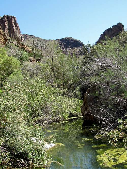
I then crossed La Barge Creek to reach the junction of Red tanks Trail.
![La Barge Canyon Creek]() La Barge Canyon Creek
La Barge Canyon Creek
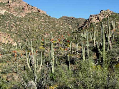
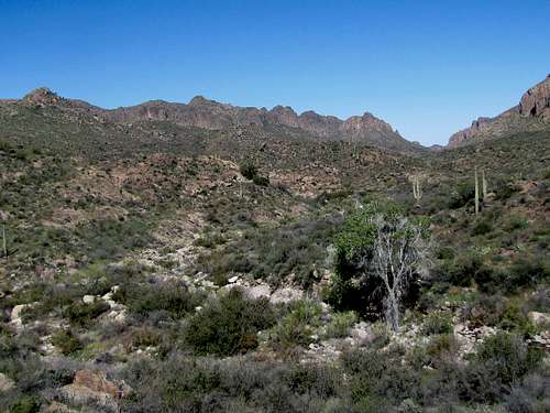
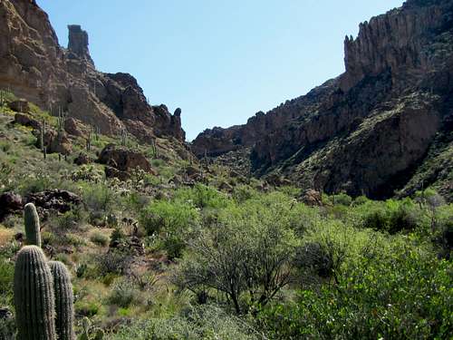
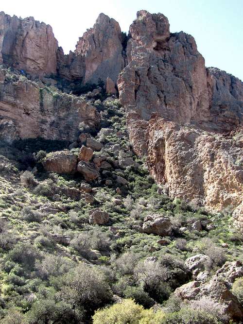
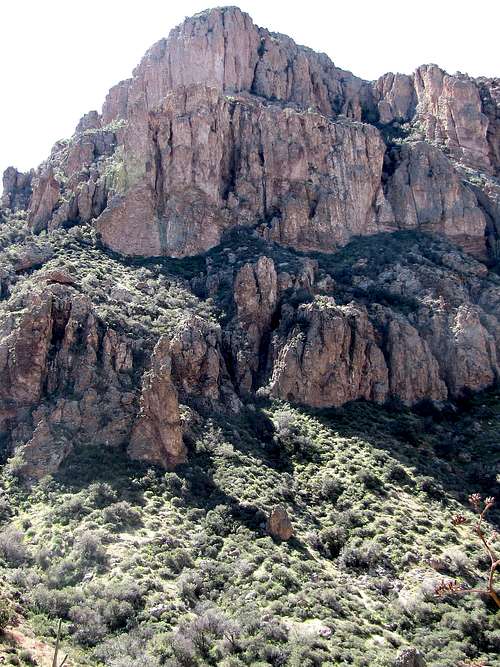
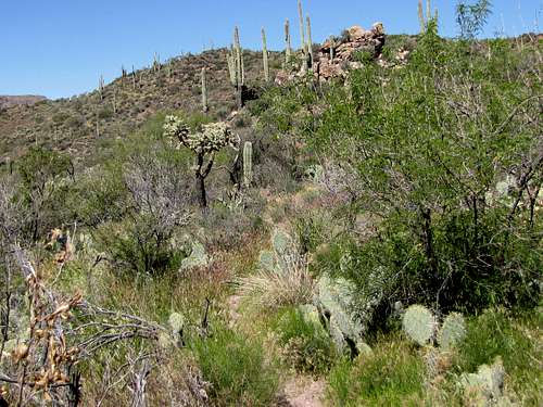
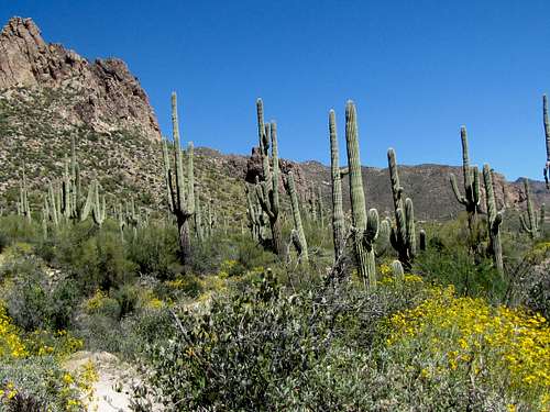
Went on Red Tanks Trail heading east. The canyon began to become narrow with rocky walls forming on both side of it.
The trail crossed the stream a few times sometimes going a few tens of feet above the stream. The banks of the stream were quite overgrown with bushes.
I knew I was supposed to reach Hermans Cave soon. In a place where the trail was on the north side of the creek, I looked north and saw a small cave a short distance up the slopes.
![Hermans Cave]() Hermans Cave
Hermans Cave
At 10:18 a.m., I reached a spot where I decided to end the hike. It seemed that if I went further east, the canyon would begin to open up. I was a few tens of feet above the bottom of the canyon. Sat there to eat, drink and enjoy the views.
Left at 10:35 a.m. and began to walk back the way I had come. By 11:00 a.m., I had reached the junction of Whiskey Spring Trail.
![On Red Tanks Trail]() On Red Tanks Trail
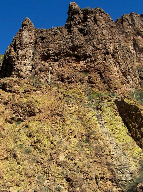
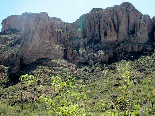
On Red Tanks Trail![Walls of Picacho Butte]() Walls of Picacho Butte
Walls of Picacho Butte
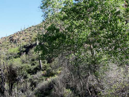
Got on Whiskey Spring trail and began to hike back up, first through the lush area by the creek and then the steep slopes to reach the high point of the trail.
![Steep Trail]() Steep Trail
Steep Trail
As I reached the high point, the 4553 ft Weavers Needle came to view to the west. In the morning it had been behind me and I had not noticed it.
![The tip of Weavers Needle]() Weavers Needle
Weavers Needle![Weavers Needle]() Weavers Needle
Weavers Needle
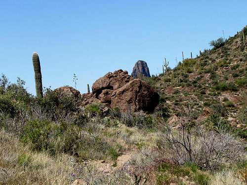
Miners Needle appeared too.
![Miners Needle]() Miners Needle
Miners Needle
At 12:08 p.m., I reached Miners Summit and went on Dutchman Trail. I then hiked down the twist and turns of the trail to reach the plain below.
![Looking south from near Miners Summit]() Looking south from near Miners Summit
Looking south from near Miners Summit
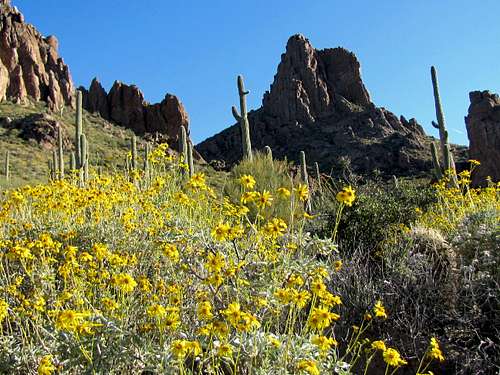
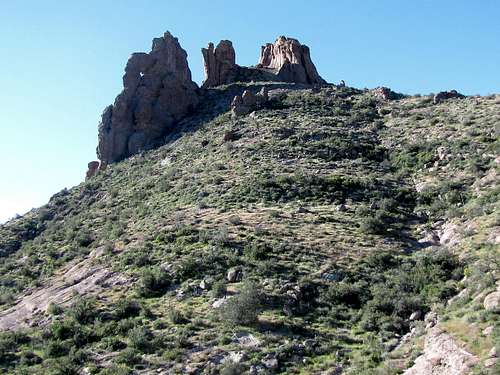
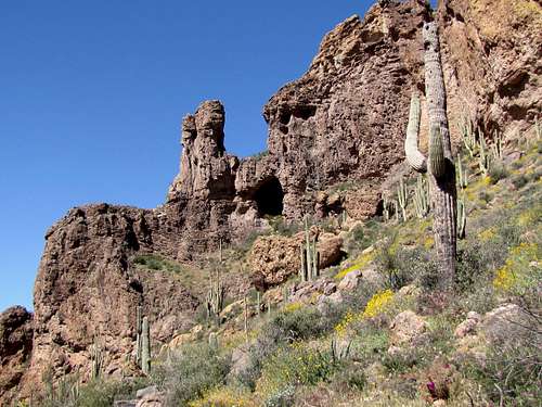
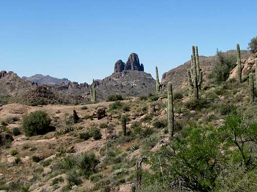
Near the junction with Coffee Flat Trail, Cathedral Rock came to view. In the morning, the sun had been behind it but now I had a good view of it.
![Cathedral Rock]() Cathedral Rock
Cathedral Rock
I then continued on the trail until I reached the Peralta Trailhead at 2:00 p.m. 14.4 mile roundtrip.

Comments
Post a Comment