Garfimi
Offline
A Little About Me
The whole wilderness seems to be alive and familiar, full of humanity. The very stones seem talkative, sympathetic, brotherly. No wonder when we consider that we all have the same Father and Mother. -John Muir
My Images

My Trip Reports (4)
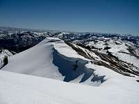
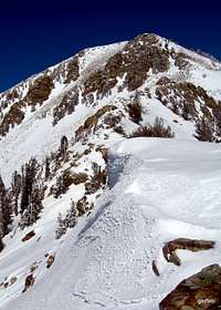
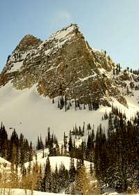
- Ben Lomond via "South Ridge" Ben Lomond
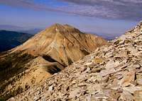
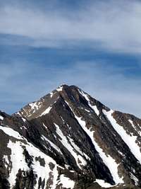
- BORAH! Borah Peak
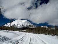
- Pilot Peak FINALLY!!! Pilot Peak
- Pilot Peak in March 08' Pilot Peak
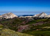
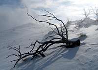
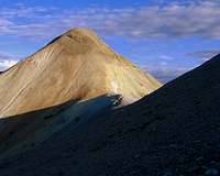
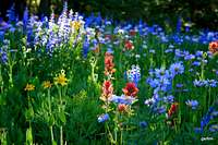
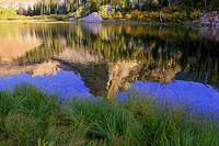
My Albums (16)
- A hike to the Avenue Twin Peaks
- A morning hike to Thurston Peak Thurston Peak
- Cellphone Pictures of Little Cottonwood Canyon
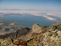
- Fall Hike on Antelope Island Frary Peak (Antelope Island)
- Farmington Canyon to Francis Peak, Feb. '09 Wasatch Range (North)
- Grandeur Peak via Church Fork Grandeur Peak
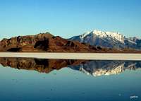
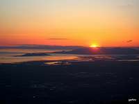
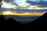
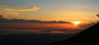
- Great Salt Lake Sunset Wasatch Range (North)
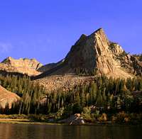
- Lake Blanche in Fall 2008 Sundial Peak
- Mount Belknap / Tushar Mountains Tushar Mountains
- Nevada's Pride
- Not Sure Yet High Uintas Wilderness
- Peak Bagging Evening
- Red Rocks/Turtlehead Peak in January '09
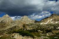
- Teton Crest Trail
- Thursday hike to Red Pine Lake Wasatch Range (Central)
- Winter Hike to Lake Blanche 2010 Wasatch Range (Central)
Climber's Logs I've Signed (50)
Mountains & Rocks (43)
- Gilbert Peak High Uintas Wilderness
- Piestewa Peak Phoenix Mountains and Neighboring Ranges
- Picacho Peak
- Quandary Peak Colorado 14ers
- Mount Elbert Colorado 14ers
- Graham Peak Silver Island Mtn Range (UT)
- Dude Benchmark Wasatch Range (North)
- Borah Peak Idaho County Highpoints
- Hayden Peak High Uintas Wilderness
- Malan's Peak and Basin Wasatch Range (North)
- Pilot Peak Ultra-prominence Peaks of the 48 States
- Mt. Timpanogos (UT) Wasatch Range (South)
- Buck Mountain Teton Range
- Mount Raymond Wasatch Range (Central)
- West Grandaddy Mountain High Uintas Wilderness
- Mount Millicent Wasatch Cottonwood Ridge
- Mount Wolverine & Mount Tuscarora Wasatch Cottonwood Ridge
- Flagstaff Mountain Wasatch Cottonwood Ridge
- Mount Aire Wasatch Range (Central)
- Avenues Twin Peaks Wasatch Range (North)
- Desolation Peak Wasatch Range (Central)
- Circle All Peak Wasatch Range (Central)
- Sunset Peak Wasatch Cottonwood Ridge
- Silver Peak, UT. Wasatch Range (Central)
- Sugarloaf Peak Wasatch Alpine Ridge
- Mount Belknap Tushar Mountains
- Turtlehead Peak Spring Mountains
- Grandeur Peak Wasatch Range (Central)
- Gunsight Peak High Uintas Wilderness
- West Gunsight (a.k.a. Dome) Peak High Uintas Wilderness
- Wheeler Peak Nevada County Highpoints
- Kings Peak Kings-Emmons Ridge
- Deseret Peak Utah County Highpoints
- Pfeifferhorn Wasatch Alpine Ridge
- Thurston Peak Utah County Highpoints
- Willard Peak Utah County Highpoints
- Ibapah Peak (UT) Utah County Highpoints
- Gobblers Knob Wasatch Range (Central)
- Delano Peak (UT) Utah County Highpoints
- Bountiful Peak Wasatch Range (North)
- Mount Nebo Utah County Highpoints
- Middle Teton Teton Range
- Frary Peak (Antelope Island) Utah Western Desert Ranges
Routes (6)
- Bald Mountain Trail Bald Mountain
- Southwest (Chicken-Out) Ridge Borah Peak
- North East Ridge Mount Raymond
- East Face Buck Mountain
- Miners Canyon Pilot Peak
- Aspen Grove Trail Mt. Timpanogos (UT)
Canyons (1)
- Pine Creek Slot Zion National Park
My Lists
Content loading here...
Messages I Posted/ Editable Objects
Reviews I Posted/Reviews Posted to my Gear
Objects Others Have Attached to My Objects
Content loading here...
Photos Others Have Attached to My Objects
Content loading here...