PrestonRhea
Offline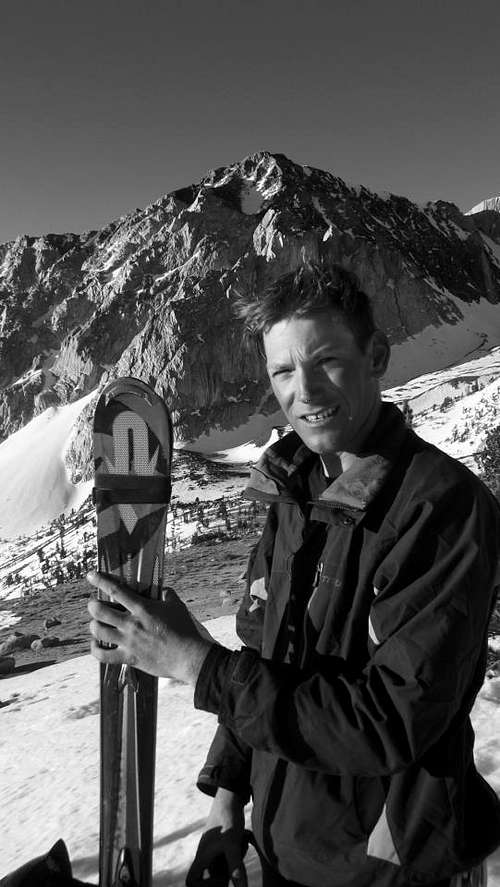
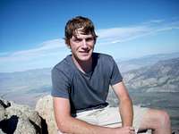
A Little About Me
For after all what is man in nature? A nothing in relation to infinity, all in relation to nothing. A central point in between nothing and all and infinitely far from understanding either.
-Blaise Pascal
-Blaise Pascal
My Images
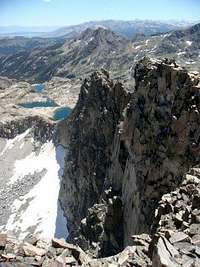

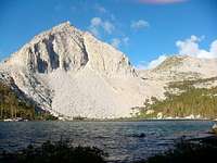

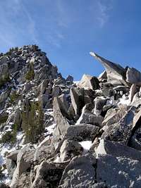
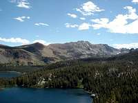
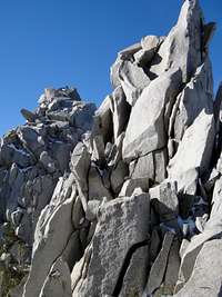
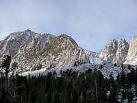
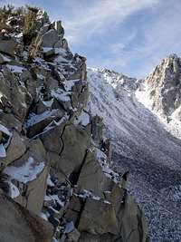
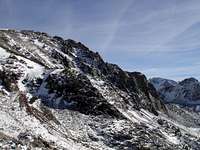
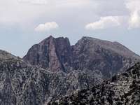
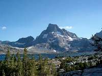
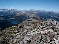
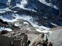
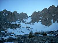


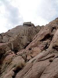
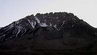
My Mountains & Rocks (3)
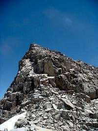
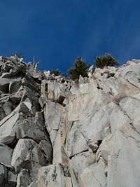
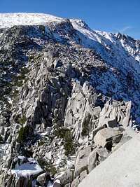
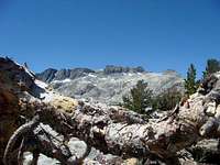
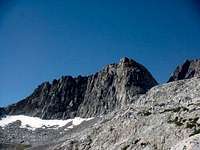
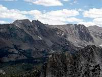
- "Herlihy Peak" John Muir Wilderness
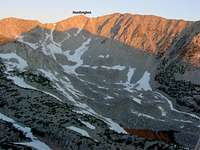
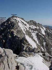
- Mount Huntington John Muir Wilderness
- Peak 3497m Ansel Adams Wilderness
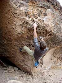
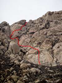
My Routes (4)
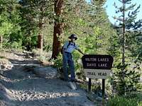
- Mostly Dead "Pyramid Peak" (Mammoth Lakes)
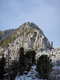
- NE Ridge "Herlihy Peak"
- Northwest Ridge Peak 3497m
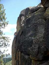
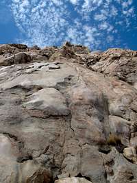
- South Arete Variation El Cajon Mountain
Climber's Logs I've Signed (27)
Mountains & Rocks (18)
- Mount Thompson Sequoia/Kings Canyon NP
- North Peak Yosemite National Park
- Laurel Mountain John Muir Wilderness
- "Herlihy Peak" John Muir Wilderness
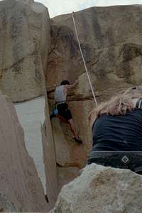
- Intersection Rock Joshua Tree National Park
- "Pyramid Peak" (Mammoth Lakes) Mammoth Lakes Basin
- Mount Shasta California County Highpoints
- Tahquitz Peak Peninsular Ranges
- Tahquitz Rock (Lily Rock) Peninsular Ranges
- El Cajon Mountain Peninsular Ranges
- Mount Huntington John Muir Wilderness
- Mammoth Mountain Mammoth Lakes Basin
- Bloody Mountain John Muir Wilderness
- Mount Starr John Muir Wilderness
- Basin Mountain John Muir Wilderness
- Banner Peak Ansel Adams Wilderness
- Peak 3497m Ansel Adams Wilderness
- Mount Davis Ansel Adams Wilderness
Routes (9)
- Front Chute (NOT Recommended) Sherwin Rock Chute
- NE Ridge "Herlihy Peak"
- North Couloir (aka Bloody Couloir) Bloody Mountain
- Casaval Ridge Mount Shasta
- Tahquitz Rock to Lookout Tower Traverse Tahquitz Peak
- Northwest Ridge Peak 3497m
- From Catherine Lake (Minimal Glacier) Banner Peak
- Northeast Ridge Bloody Mountain
- South Arete El Cajon Mountain
My Lists
Content loading here...
Messages I Posted/ Editable Objects
Reviews I Posted/Reviews Posted to my Gear
Objects Others Have Attached to My Objects
Content loading here...
Photos Others Have Attached to My Objects
Content loading here...