
-
 4784 Hits
-
 80.49% Score
-
 12 Votes
|
|
Area/Range |
|---|---|
|
|
39.01157°N / 122.81061°W |
|
|
Hiking |
|
|
Spring, Summer, Fall, Winter |
|
|
1608 ft / 490 m |
|
|
Overview
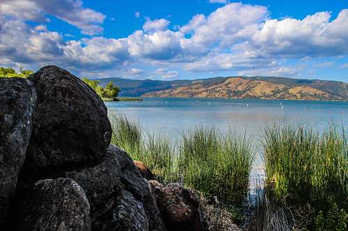
Across Clear Lake from the park beach area
There are 4 campgrounds with 149 total campsites without electrical or water hookups.
There are also cabins available all through reservation. There is a small system of easy hiking trails on the hill above the coastline and water walkways by the creek.
A Visitors Center offers historical and cultural and environmental programs and brings attention to the unique characteristics of this State Park.
Other amenities include boat launch, docks, picnic area, showers, and restrooms
Getting There

State Park map
Kelsey Creek
Red Tape
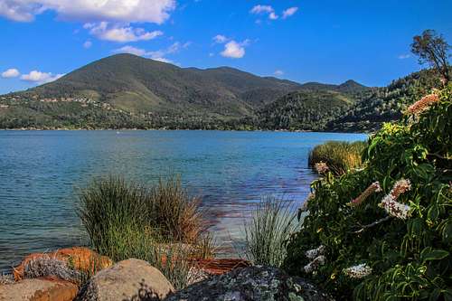
State Park coastal springs and Mt. Konocti
Camping
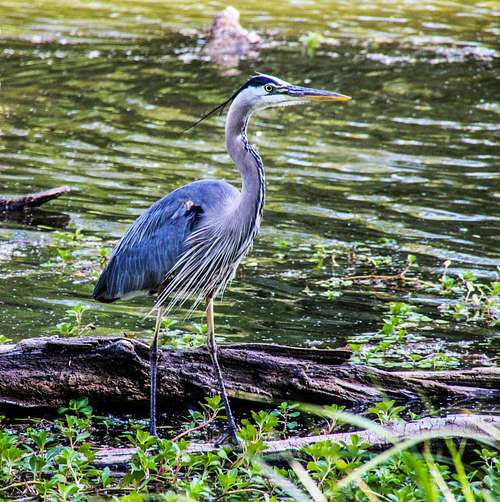
Great blue heron
Current weather and forecast

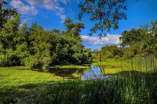
Dorn Nature Trail

Kelsey Creek