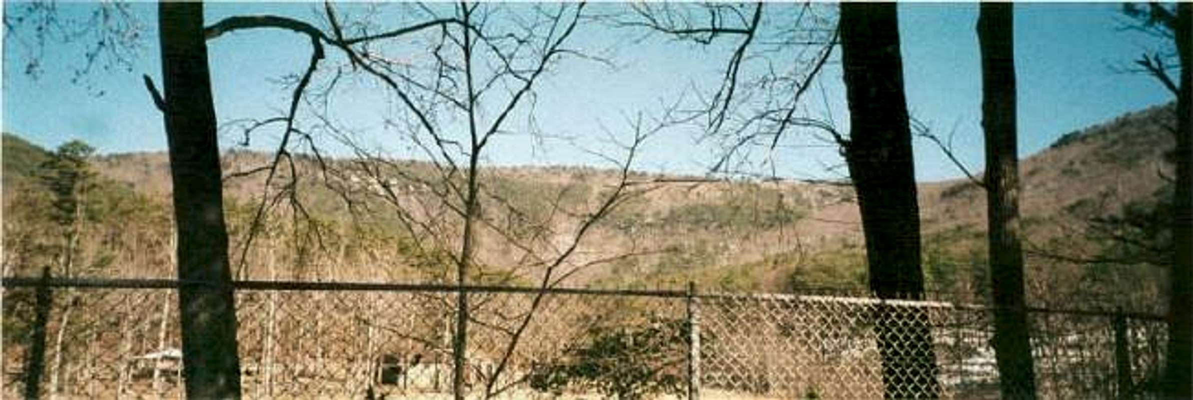
My friend Brian and I took a trip down South to attempt some Southern highpoints. We spent the first night camping in Grayson Highlands. The next day we drove down to Alabama to tackle Cheaha Mountain in Tallageeda National Forest. We stayed in Anniston the night before, and took the main road in town all the way down to the Cheaha Mountain area. We took rt. 21 down and then took signs for a road leading to the mountain. From afar, Cheaha looks enormous, like a giant among the flat Alabama landscape. When you get closer, you realize it is not as big as it seems, but it certainly shows impressive prominance. They closed the road to the summit because of ice, so we had to hike 2 miles to the summit of Cheaha Mountain. Alabama doesn't fund the use of salt to melt ice being that it is ALABAMA. We hiked up the road a bit, until we got bored, so we took a detour through the woods. The hike was fun through the woods, crossing over branches and logs, until we decided to take another shortcut and ran into some nasty thorn bushes. After making our way through, we were on the summit area. There was a visitor center and a parking area. We hauled up the last 1/2 mile or so on foot, and got to the summit where the Cheaha sign greeted us. This is certainly a pretty area. After you complete the summit, go back to Anniston and get some BARBEQUE!
Comments
No comments posted yet.
