
|
|
Mountain/Rock |
|---|---|
|
|
35.28310°N / 120.8593°W |
|
|
Hiking |
|
|
Spring, Summer, Fall, Winter |
|
|
1076 ft / 328 m |
|
|
Overview
Hazard Peak sits in California’s Montana De Oro State Park south of the community of Morro Beach roughly half way between Los Angeles and San Francisco. The distance between the summit of Hazard Peak and the Pacific Ocean is 1.3 miles on a straight line. Due to its “broad hump” shape, from trailhead, Hazard Peak appears inconspicuous compared to the prominent Valencia Peak to the south of it.
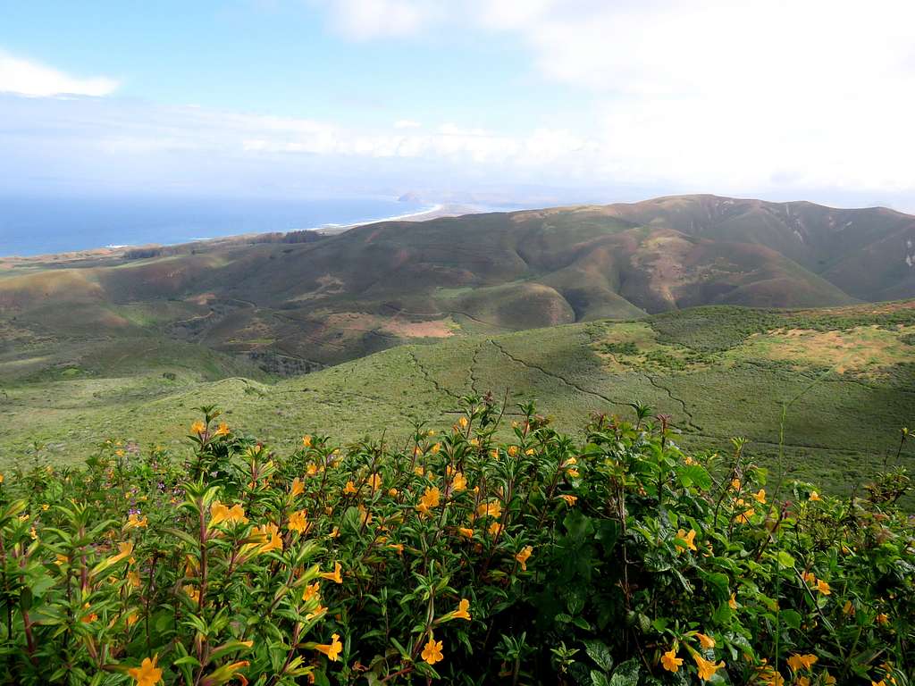
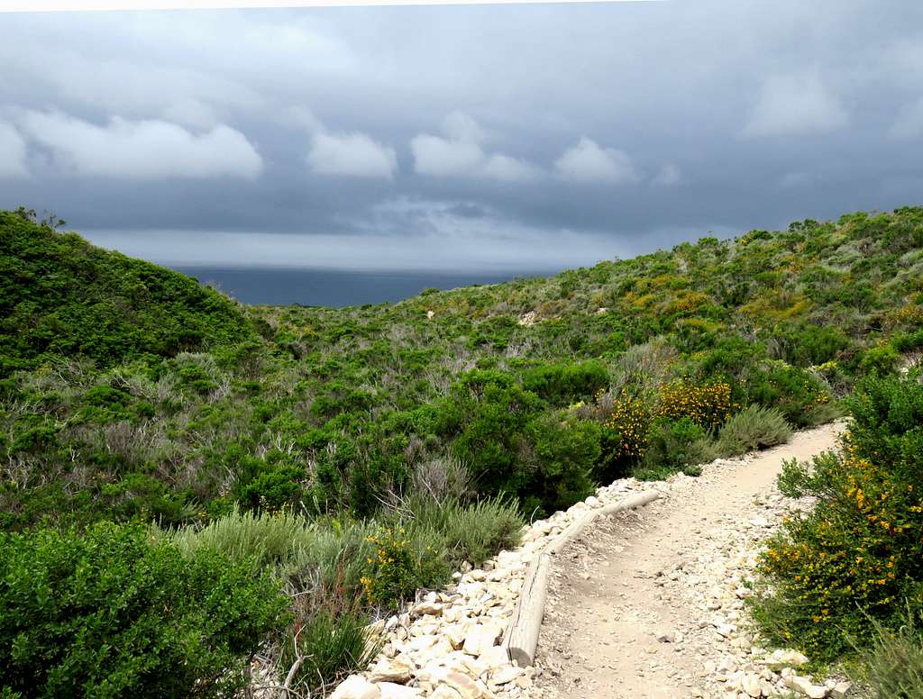
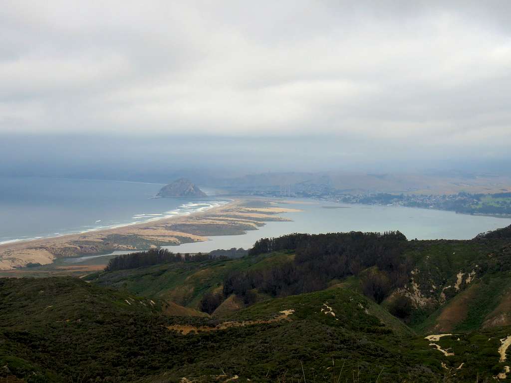
A winding and gently sloped trail goes from near the ocean to the summit of Hazard Peak. This trail is popular with mountain bikers. For little effort, the summit of Hazard Peak provides you with spectacular views of Pacific Ocean, Morro Bay, Morro Rock and the mountains further inland.
Getting There
Hazard Peak Trailhead is on Pecho Valley Road as noted on the attached map.
Route
Trailhead Elevation: 120 ft
Summit Elevation: 1076 ft
Roundtrip Hiking Distance: 6.0 miles
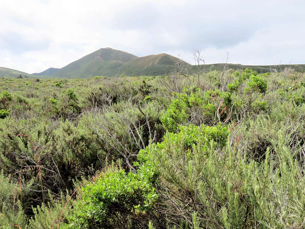
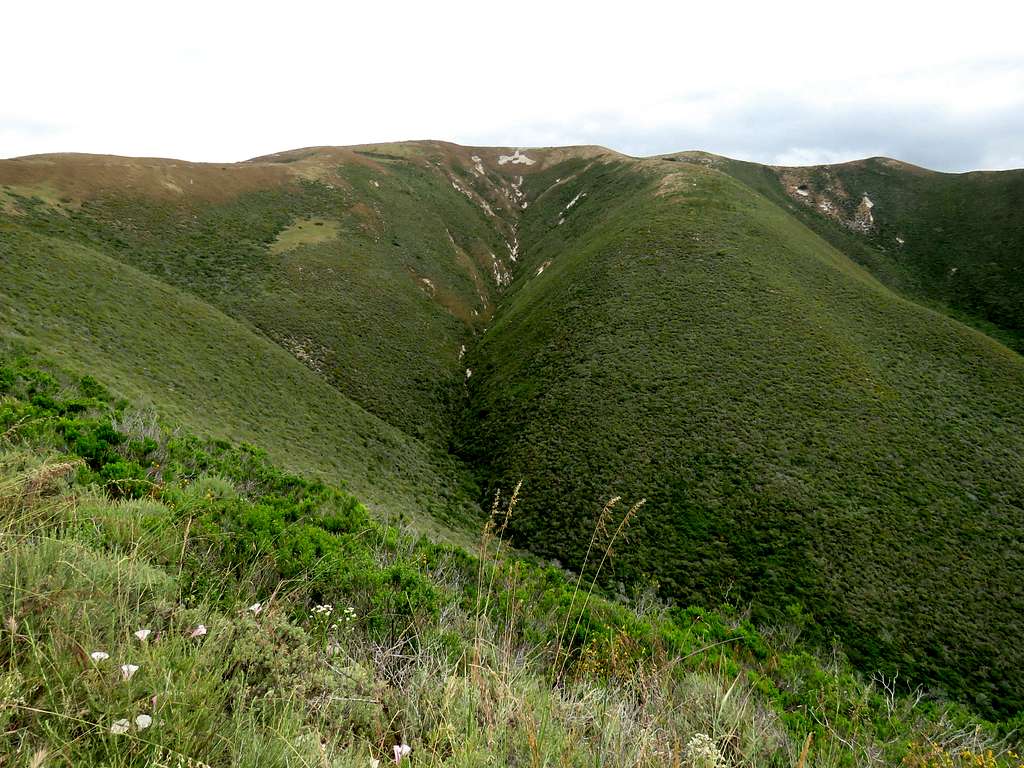
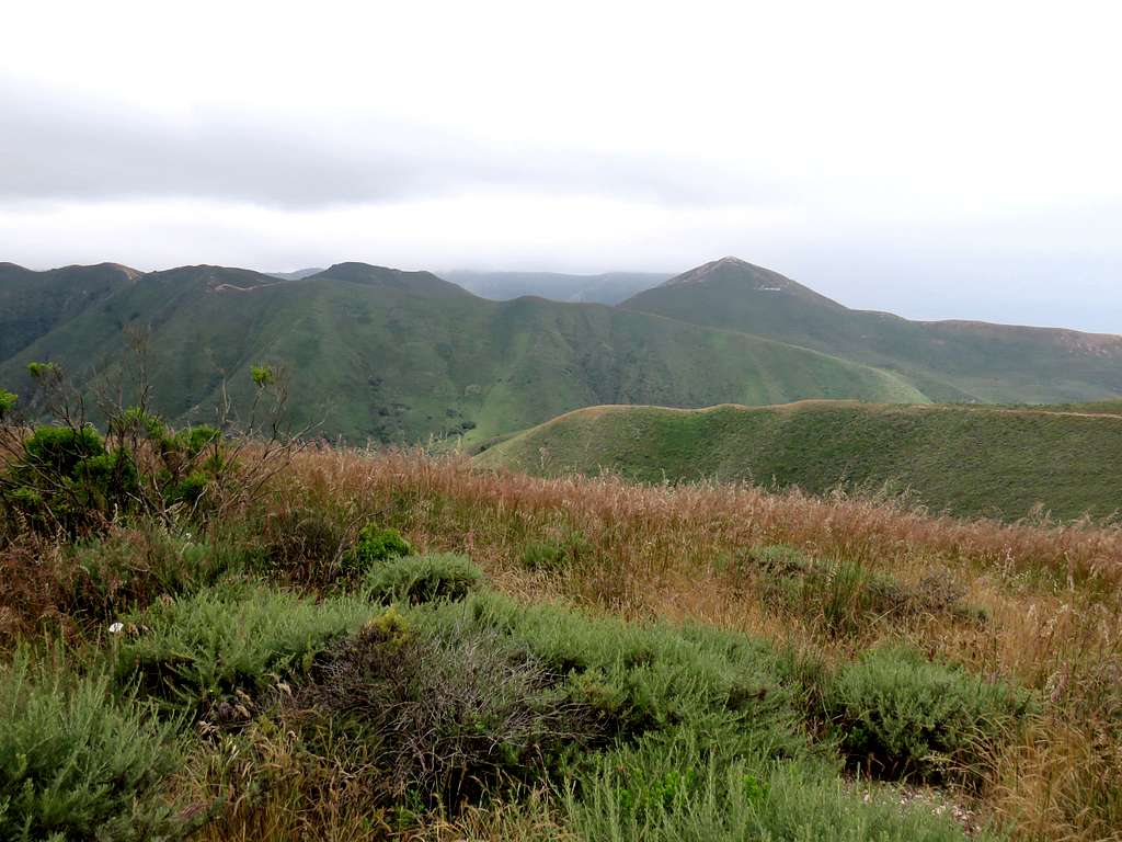
Valencia Peak is in good view from trailhead and may be confused with Hazard Peak.
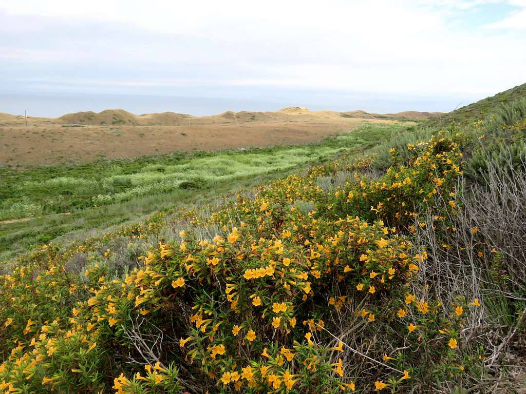
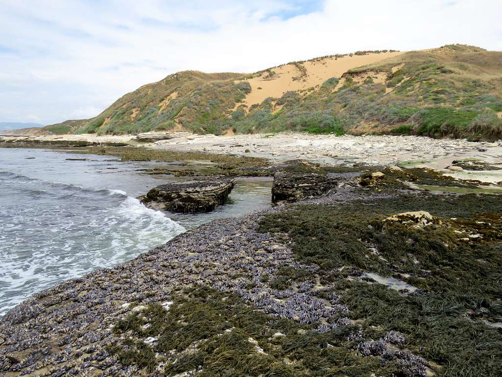
Coastal sand dunes.
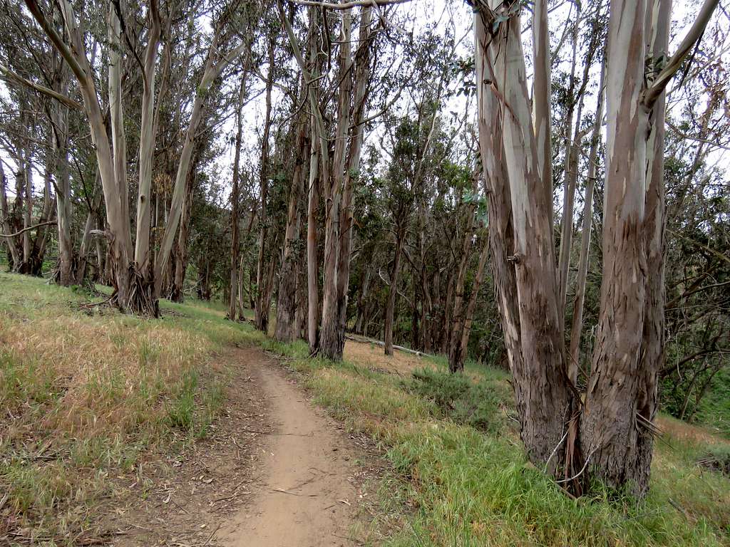
In one place, the trail goes through a growth of Eucalyptus Trees.
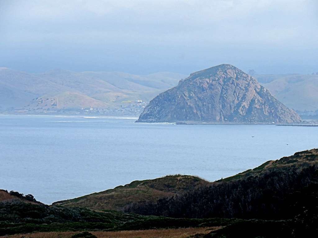
Zoomed view of Moro Rock.
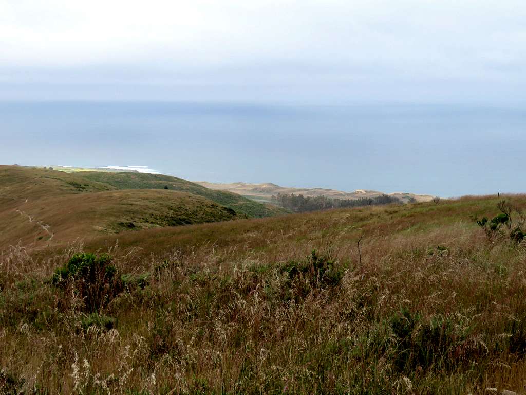
Pacific Ocean from upper slopes.
Summit.
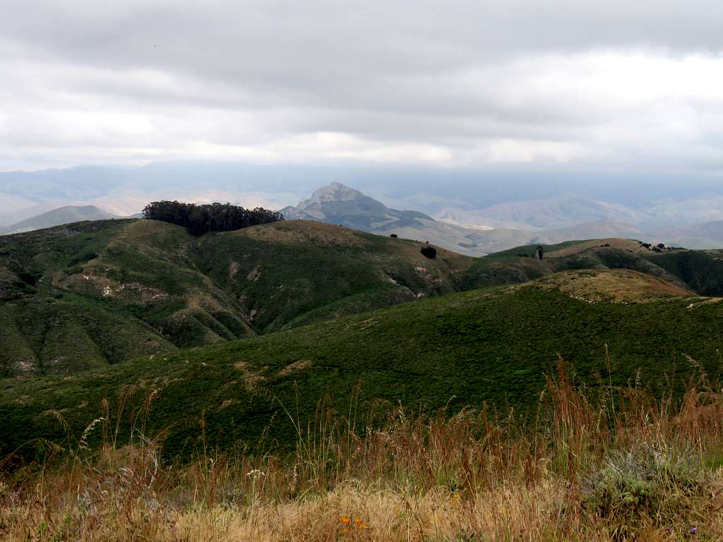
Views from the summit.
Morro Rock and Morro Bay.
Zoomed view of Hollister Peak.
Pacific Ocean.
Valencia Peak.
Nearby Sand Dunes
Pacific Ocean from top of a sand dune.
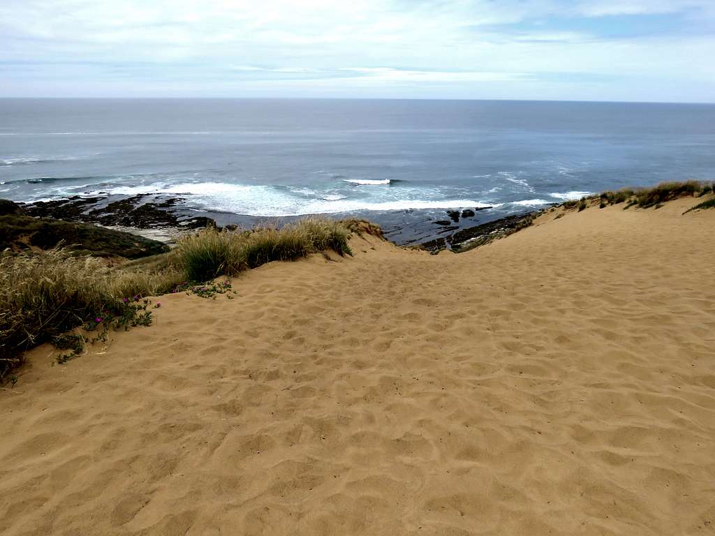
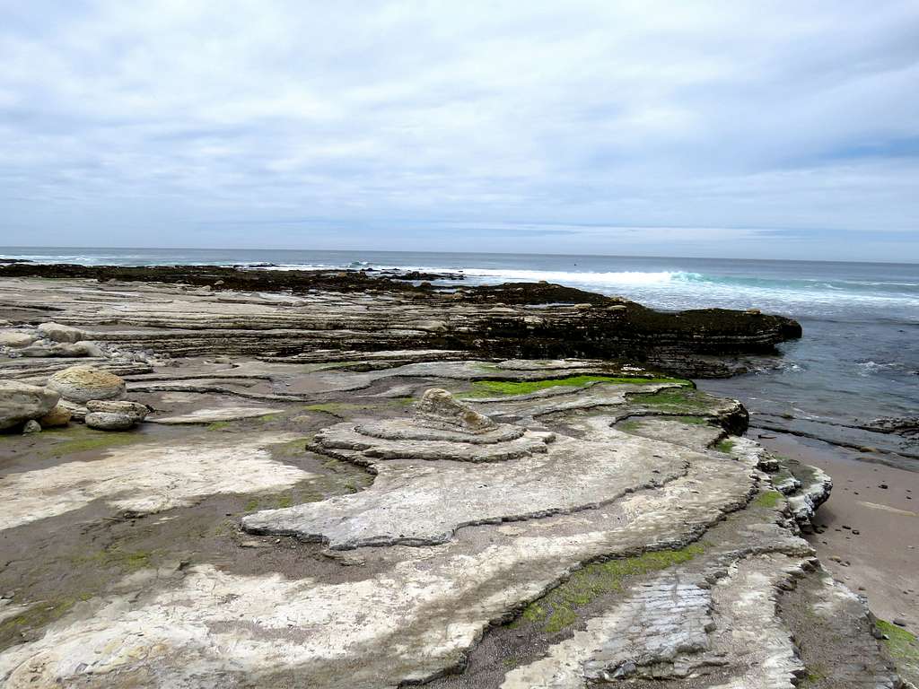
Pacific Coast.
When to Climb
Any season.
Red Tape
No fees or permits.
External Links
Add External Links text here.